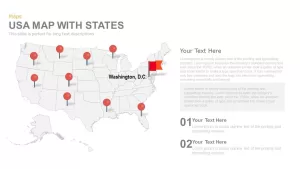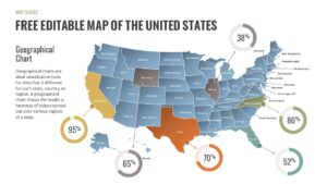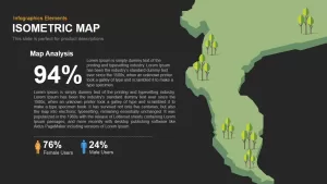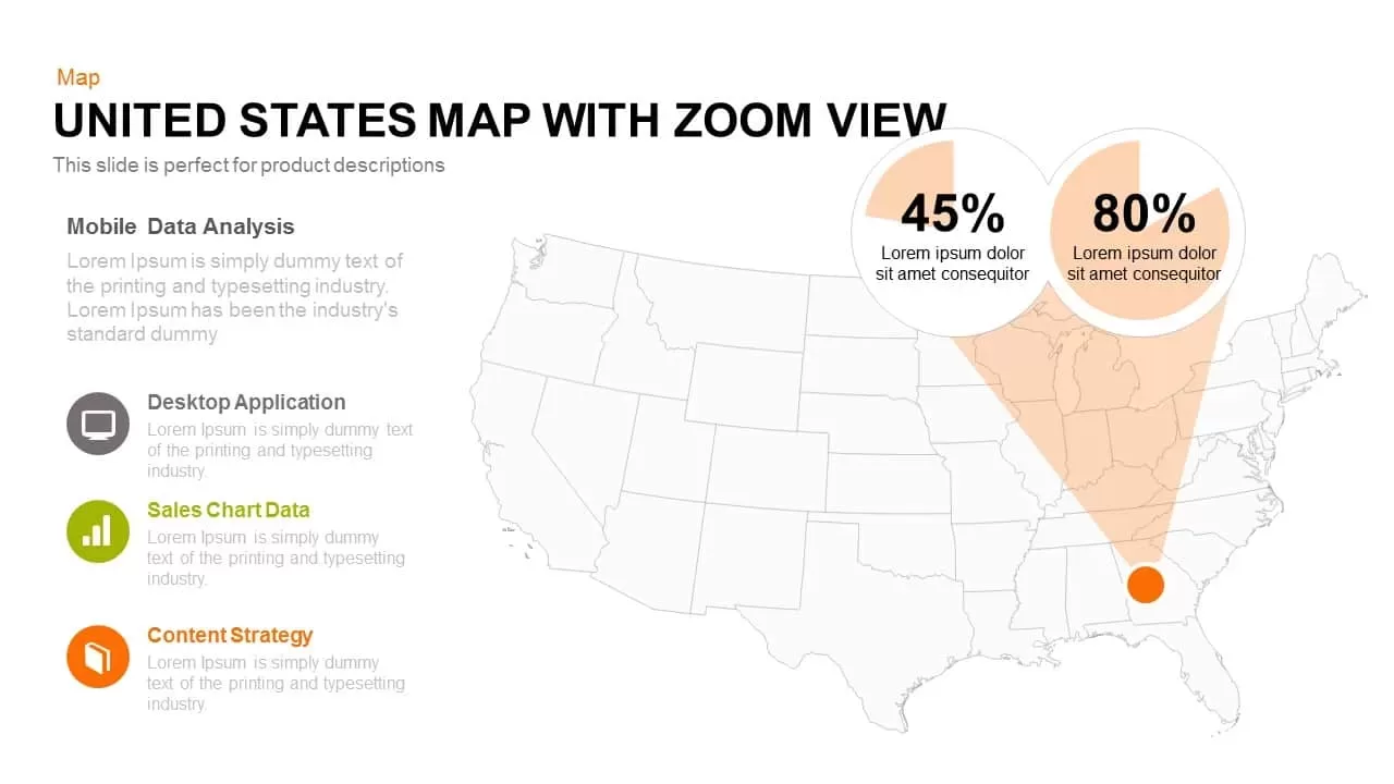
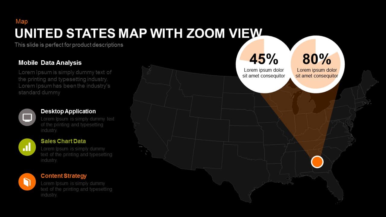
Today, America is the most influential country when we compare it to other nations. Socially, economically and politically they gain much more power. After the fall of the Soviet Union, America gained its supremacy over other countries. The PowerPoint map of the United States with zoom view is a flagship of power and supremacy. The presenter can use this symbol to depict their trade and relations. Without America and its currency, no country can measure its GDP growth. During the 19th century, the United States gained much more land in the West and began to become industrialized. Now, people are searching for good jobs in America and like to settle there. Americans are the leaders of globalization and liberalization.
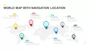
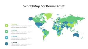
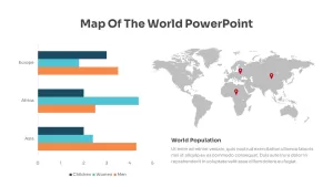
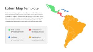
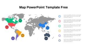
The PowerPoint map of the United States template is a powerful presentation tool for Business data analysis based on certain geographical specifications like cities or states. This diagram is usually used in comparative or competitive analysis. For example sales comparison for various models of mobile phones in a particular city or state from the same company or the same kinds of competitive analysis for competitive products from two different companies. This is a very popular competitive and comparative analysis template in business PowerPoint presentations based on location parameters. It gives flexibility for sale comparison among various places for an individual product. Based on such analysis; different organizations can strategize their priorities and focus on that particular geography.
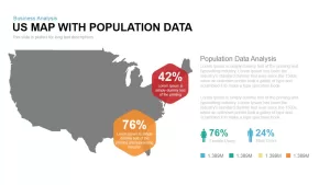
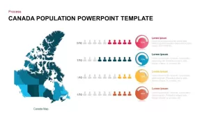
This powerpoint tool is used at the macro level by top management to present the broader strategy or focus area of the organization for their sales force. It has also found its application in various Government departments to exhibit various data on population or demography are in the form of percentages or ratios pertaining to a number of states or cities. The editable PowerPoint US Map allows modification and changes. Users can change the colour combination without harming the exactness of the map. You can access more USA maps for PowerPoint here...