Editable World Map Callout Infographic Template for PowerPoint & Google Slides
Map Of The World Presentation Slide Template For PowerPoint & Google Slides
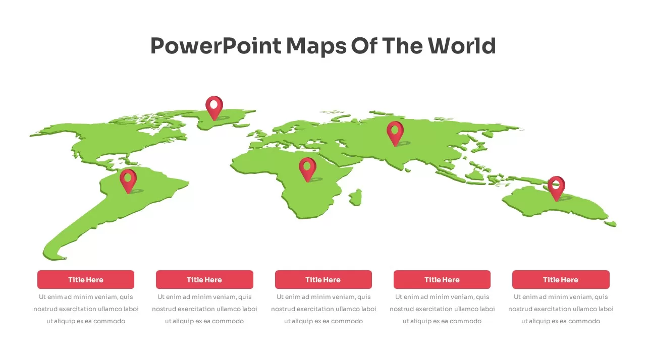
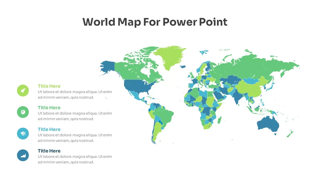
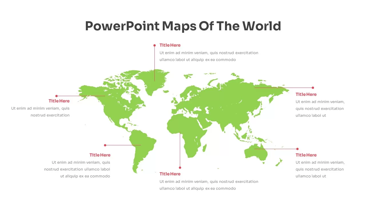
This Map Of The World Presentation Slide Template for PowerPoint and Google Slides delivers a clean, infographic-style geographic layout to showcase international market reach, global supply chain networks, regional sales performance, or corporate expansion roadmaps. Centered around a vibrant lime-green world map silhouette against a bright white canvas, it offers six balanced pointer callouts to highlight key continental hubs and regional operational milestones without visual clutter.
Slide Layout & Elements Breakdown
The slide opens with a bold, centered header reading “PowerPoint Maps Of The World” styled in dark charcoal sans-serif typography across the upper canvas. The central visual anchor is a detailed 2D world map rendered in a fresh lime-green vector silhouette, providing clear continental contours across the Americas, Europe, Africa, Asia, and Oceania.
Surrounding the map are six crimson-red locator pins connected to clean horizontal and vertical pointer lines. Each marker links an important geographical territory to a dedicated text container consisting of a bold red section header and an editable two-line descriptive block. Three callout clusters frame the western hemisphere across North America, Greenland, and South America, while three matching clusters organize regional narratives across Europe and Africa, East Asia, and the Australia-Pacific market. This distributed layout preserves generous breathing room around the map, keeping your global statistics legible and easy to follow during executive briefings.
Where to Use This Slide
Multinational corporations and corporate strategy teams can utilize this template to illustrate cross-border business presence, regional revenue contributions, and foreign office locations during quarterly business reviews. International sales and marketing leaders can track target market entries, campaign coverage, and territory distribution channels. In addition, logistics and procurement executives can map out global freight corridors, supplier distributions, and manufacturing facilities for supply chain risk assessments and stakeholder presentations.
Template Features
- Fully editable vector map compatible with PowerPoint and Google Slides, allowing you to recolor continents, reposition pin markers, and customize typography to match your brand style.
- Distributed six-point callout system designed to present multi-region operations clearly on a single visual screen.
Check out the full collection of map slides for PowerPoint and Google Slides.
Login to download this file

Item ID
SB02489


Related Templates

Editable World Map Callout Infographic Template for PowerPoint & Google Slides
World Maps
Fully Editable World Map Infographic Template for PowerPoint & Google Slides
World Maps

Fully Editable World Map Infographic PowerPoint Template
World Maps
Nigeria Regional Callout Map Diagram Template for PowerPoint & Google Slides
Maps
Onion Diagram Callout Template for PowerPoint & Google Slides
Process
Callout Boxes PowerPoint Template
Infographics
Free
Editable Ireland Map Infographic Template
World Maps
Free
World Map Data template for PowerPoint & Google Slides
World Maps
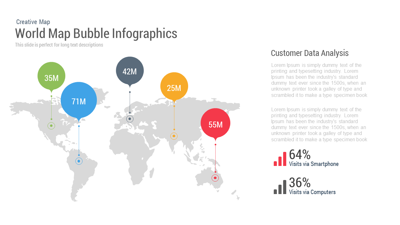
World Map Bubble template for PowerPoint & Google Slides
World Maps
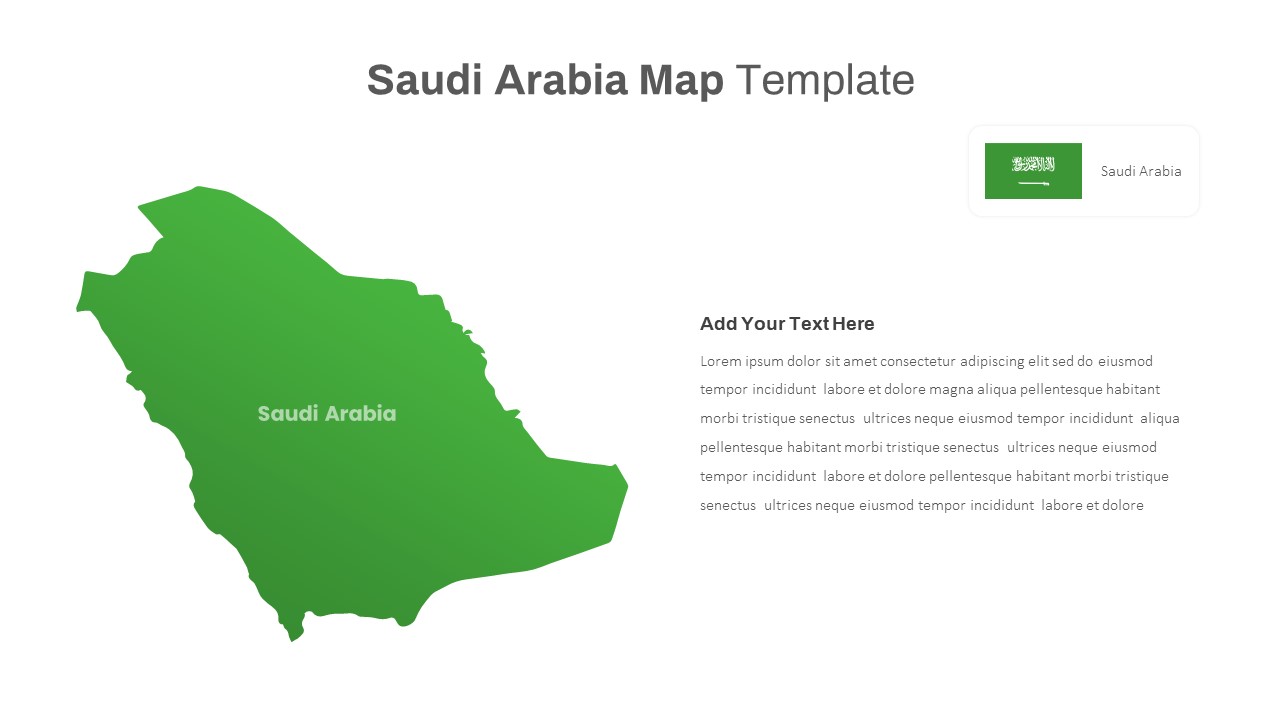
Free Editable Saudi Arabia Map Template for PowerPoint & Google Slides
World Maps
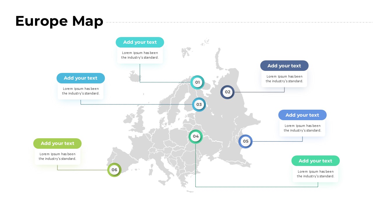
Europe Map for PowerPoint and Google Slides
World Maps
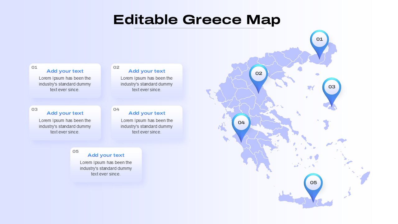
Editable Greece Map for PowerPoint & Google Slides
Maps
Business Capability Map Editable In PowerPoint & Google Slides
Business Strategy
Creative World Map with Bubbles PowerPoint Template
World Maps

World Map PowerPoint Template Location Navigation Pin
World Maps
World Map PowerPoint Template Free
World Maps
World Map PowerPoint Template Free
World Maps
Free
SAARC Countries World Map PowerPoint Template
Maps
World Map Puzzle PowerPoint Template
World Map
Map of the World PowerPoint
Bar/Column