IOWA PowerPoint Template
Detailed and Editable IOWA Map PowerPoint Template
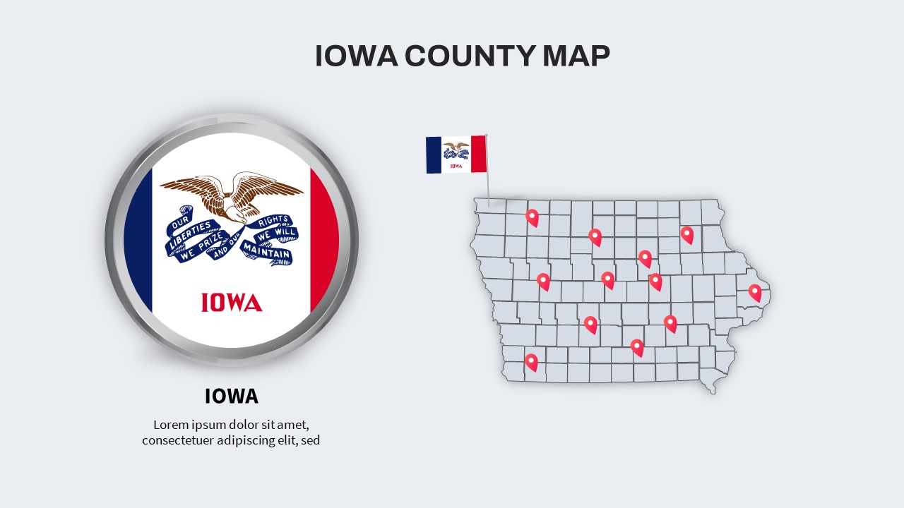
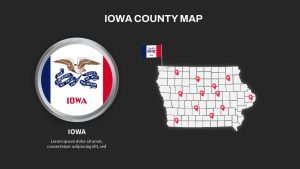
IOWA PowerPoint Template features IOWA counties with editable text zones. Iowa shares borders with Minnesota, Missouri, and South Dakota, displaying a rich tapestry of rivers, lakes, and fertile agricultural lands. Our template features a detailed map of Iowa, delineating its boundaries and highlighting major cities, aiding as an educational ppt for presentations on regional themes. Engage your audience with captivating visuals while imparting valuable geographic insights, making these PowerPoint templates indispensable for discussions on infrastructure, transportation networks, tourism attractions, historical narratives, and beyond. Elevate your presentations with the essence of Iowa’s diverse landscape and cultural heritage.
What are the biggest things to see in Iowa?
In Iowa, you’ll find a tapestry of attractions woven into its scenic landscape. The iconic Field of Dreams, nestled in Dyersville, offers visitors a chance to step into a cinematic dreamland. For nature enthusiasts, the breathtaking vistas of the Loess Hills provide endless hiking and photo opportunities. Delve into history at the Amana Colonies, where German heritage is preserved in quaint villages. The Iowa State Capitol in Des Moines showcases stunning architecture and historical significance. For a taste of rural charm, the Bridges of Madison County beckon with their rustic beauty. Iowa offers a diverse array of experiences, blending culture, history, and natural wonders seamlessly.
IOWA PowerPoint Map Template can be used for multiple purposes. If you are a travel agent, you can add this template to your PowerPoint collection and give details about Iowa County to your travel enthusiasts. A business professional can showcase business expansion plans and their regio-centric marketing plans and strategies to the team and stakeholders. Similarly, teachers can use it to deliver Iowa’s geography, history, and demographics. Government and Non-Profit projects can display public health information, infrastructure projects, or community development plans. As a PowerPoint map of Iowa County, it helps present Iowa’s attractions.
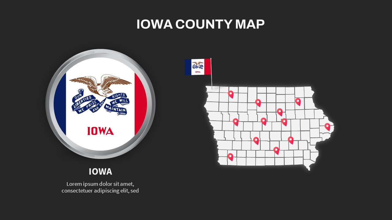
The IOWA county map template for PowerPoint presentation is a single slide in two backgrounds. It shows the symbol of Iowa, an eagle carrying blue streamers in its beak. This customizable template has location markers that enable the user to pinpoint their place of interest. Download it now!
Login to download this file


