Germany Map with Regional Callouts Template for PowerPoint & Google Slides


Description
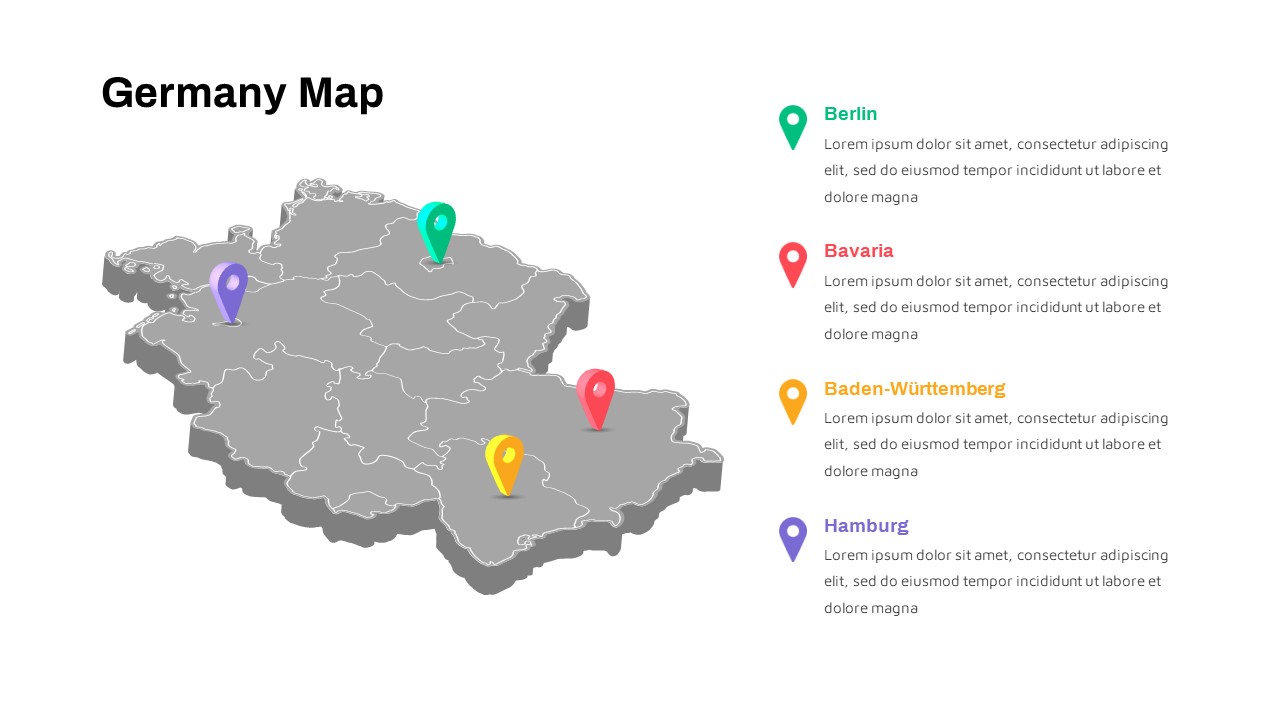
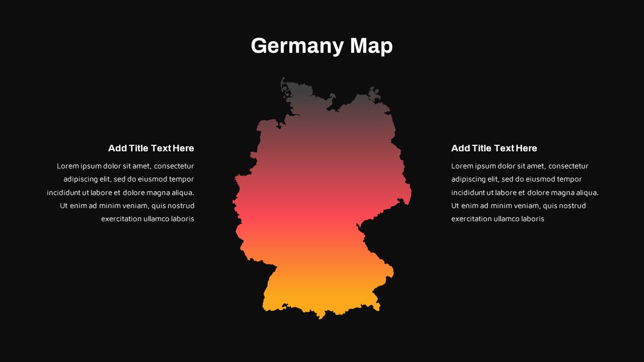
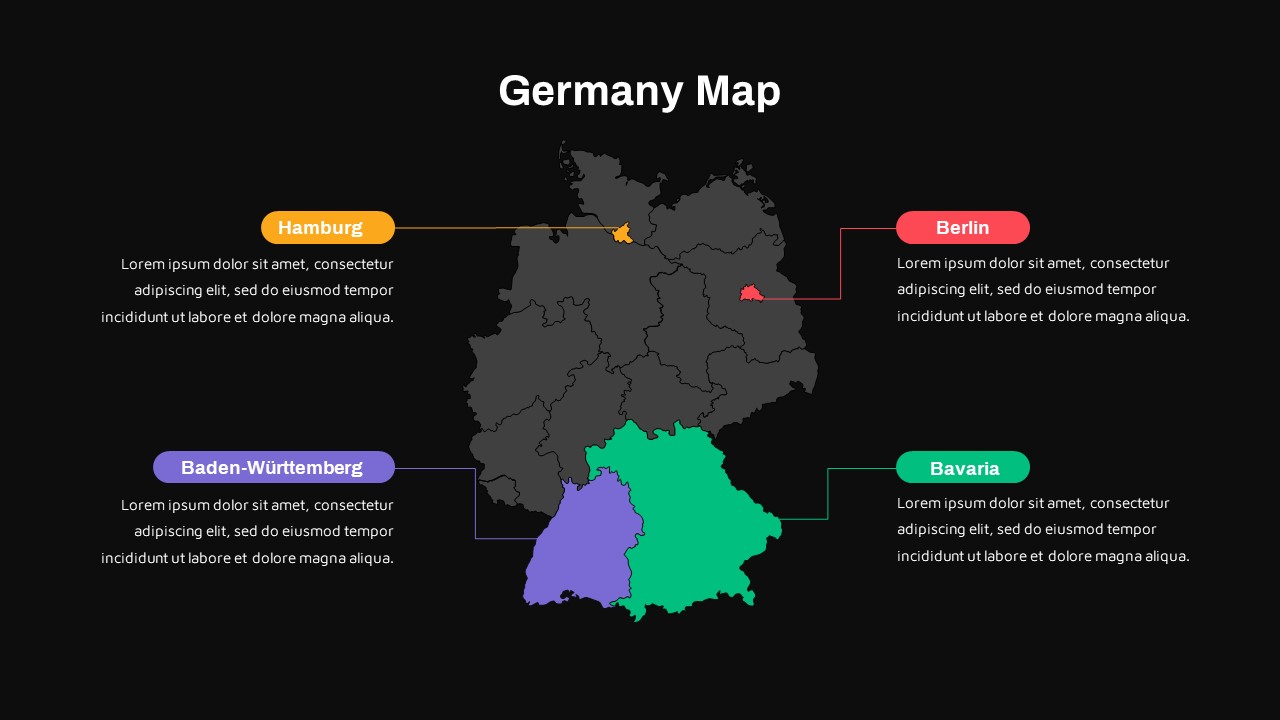
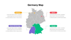
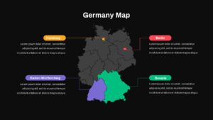
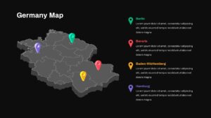
This Germany Map slide template delivers a high-impact visual for presenting regional data with precision and clarity. A full-bleed base map of Germany is rendered in light gray, while four key areas—Berlin, Bavaria, Baden-Württemberg, and Hamburg—are filled in vibrant red, green, yellow, and purple. Each highlighted state is linked via a color-matched connector line to a rounded callout box, providing editable placeholders for titles and descriptive text. The clean white canvas and subtle drop shadows ensure maximum contrast and legibility for both in-room presentations and remote viewing.
Built on PowerPoint and Google Slides master layouts, this asset features fully editable vector map shapes, customizable state borders, and drag-and-drop location markers. Slide masters support theme synchronization, enabling you to swap out region colors, adjust connector styles, or scale callouts to any number of areas without compromising design integrity. Global theme palettes streamline branding updates, while automatic alignment guides and snap-to-grid functionality maintain consistent spacing across slides.
For advanced customization, layered map components allow you to animate region fills or overlay additional data visuals such as mini-charts or icons. Use transparency settings to create geographic overlays or segment audiences by shading sub-regions. The template is optimized for high-resolution displays and print, ensuring crisp reproduction in executive reports, market analysis decks, and academic research presentations. Whether mapping sales territories, demographic studies, or supply-chain networks, this Germany Map template equips presenters with a versatile, professional framework for region-focused storytelling.
Who is it for
Marketing analysts, regional planners, and business development leaders can leverage this slide to visualize territory performance, market segmentation, or customer distribution across German states. Educators and researchers will find it ideal for geography lessons, demographic studies, or economic reports.
Other Uses
Repurpose the layout for mapping sales regions, supply-chain hubs, or service areas in any country. Replace the map with custom shapes to illustrate project zones, infrastructure networks, or field-team deployments.
Login to download this file

Item ID
SB03694
Related Templates

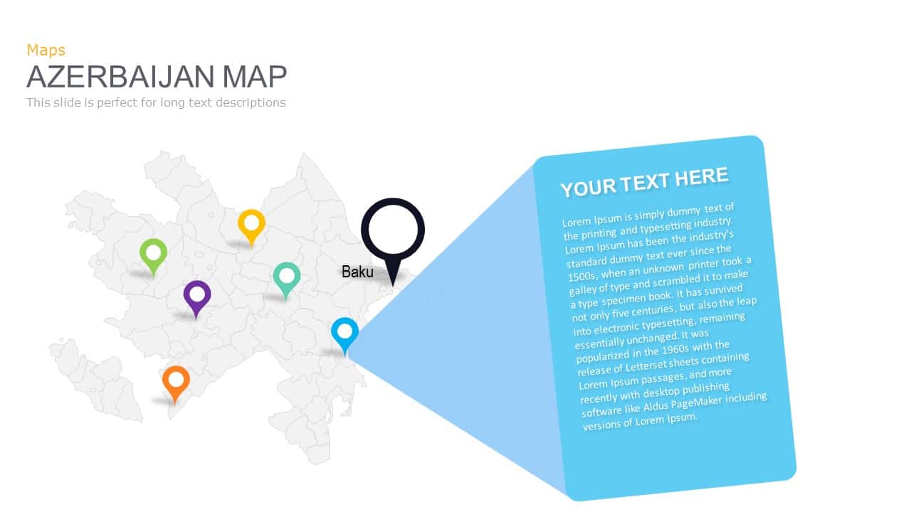
Azerbaijan Map with Provinces & Callouts Template for PowerPoint & Google Slides
World Maps
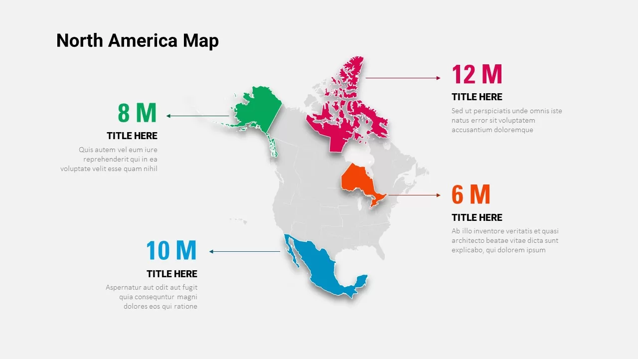
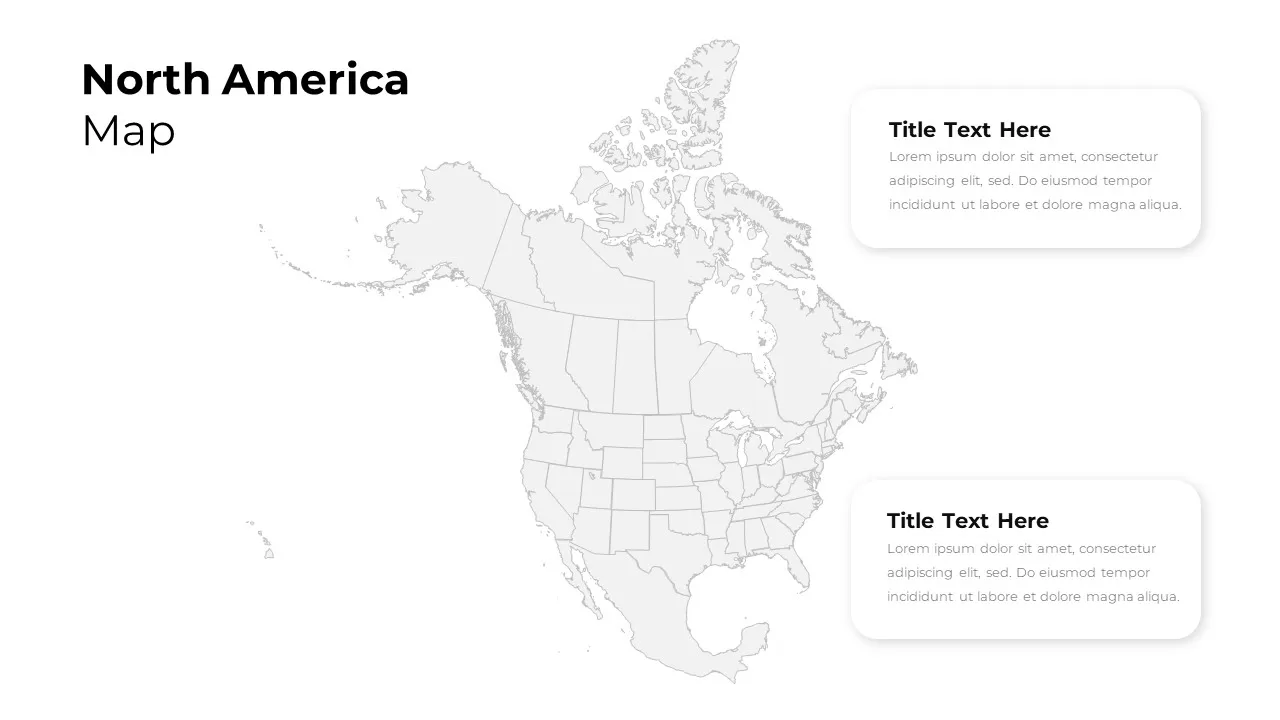
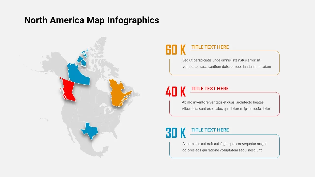
North America Data Map Callouts Template for PowerPoint & Google Slides
World Maps

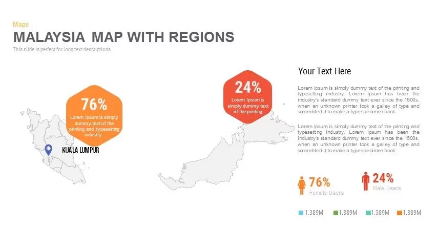
Malaysia Regional Map Infographic Template for PowerPoint & Google Slides
Maps
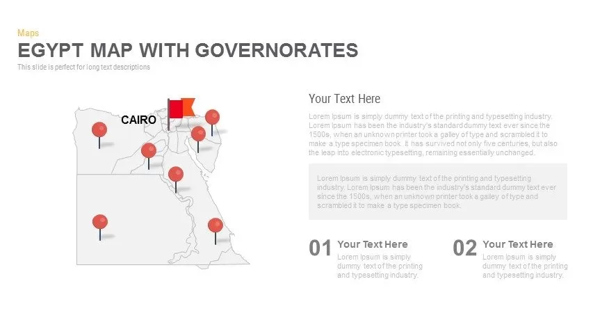
Egypt Regional Map Slide Pack Template for PowerPoint & Google Slides
World Maps
North America Regional Map Overview Template for PowerPoint & Google Slides
World Maps
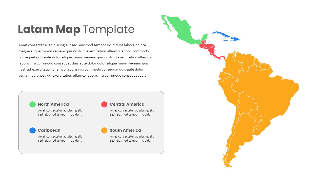
Latin America Regional Map Breakdown Template for PowerPoint & Google Slides
World Maps
Free Editable U.S. Map with Regional Metrics Template for PowerPoint & Google Slides
World Maps
Free
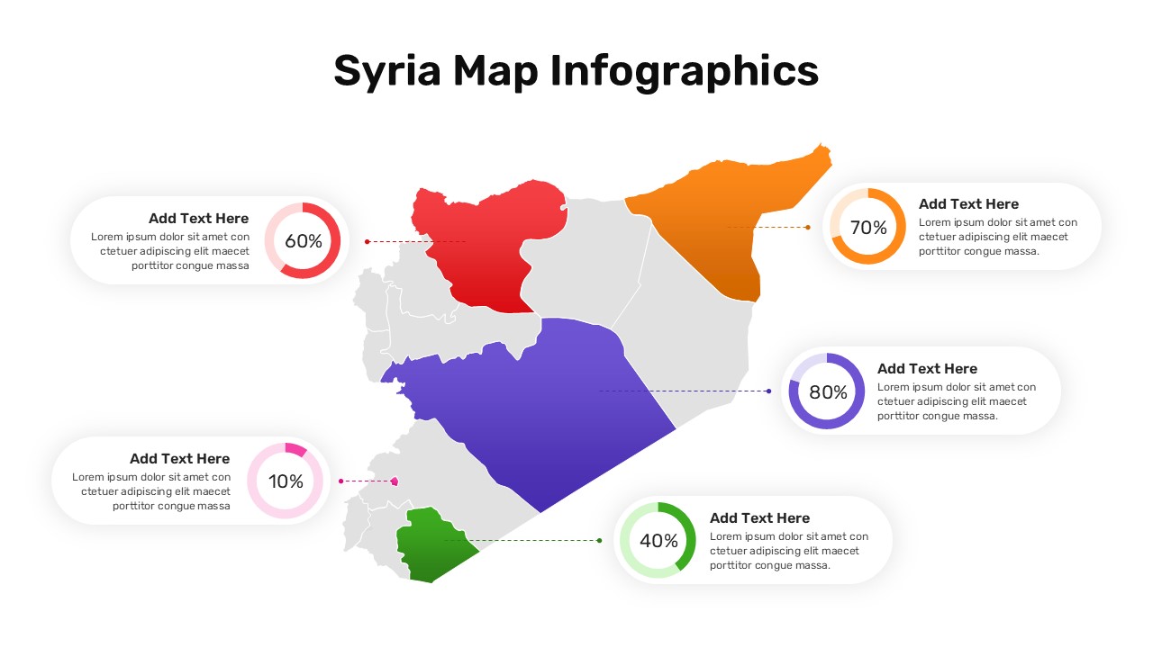
Syria Regional Data Map Infographic Template for PowerPoint & Google Slides
World Maps
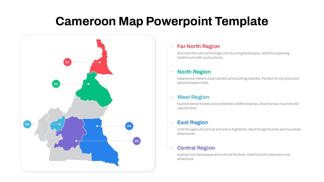
Numbered Cameroon Regional Map Slide Template for PowerPoint & Google Slides
World Maps
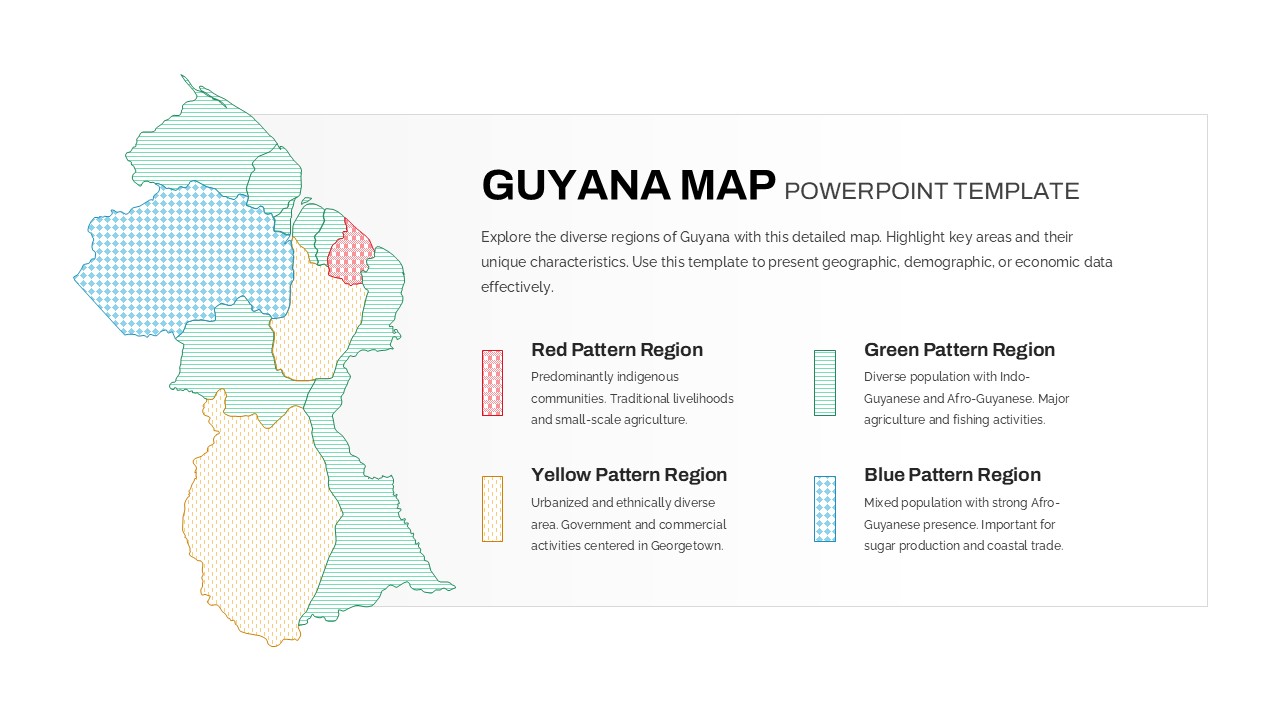
Patterned Guyana Regional Map Template for PowerPoint & Google Slides
World Maps
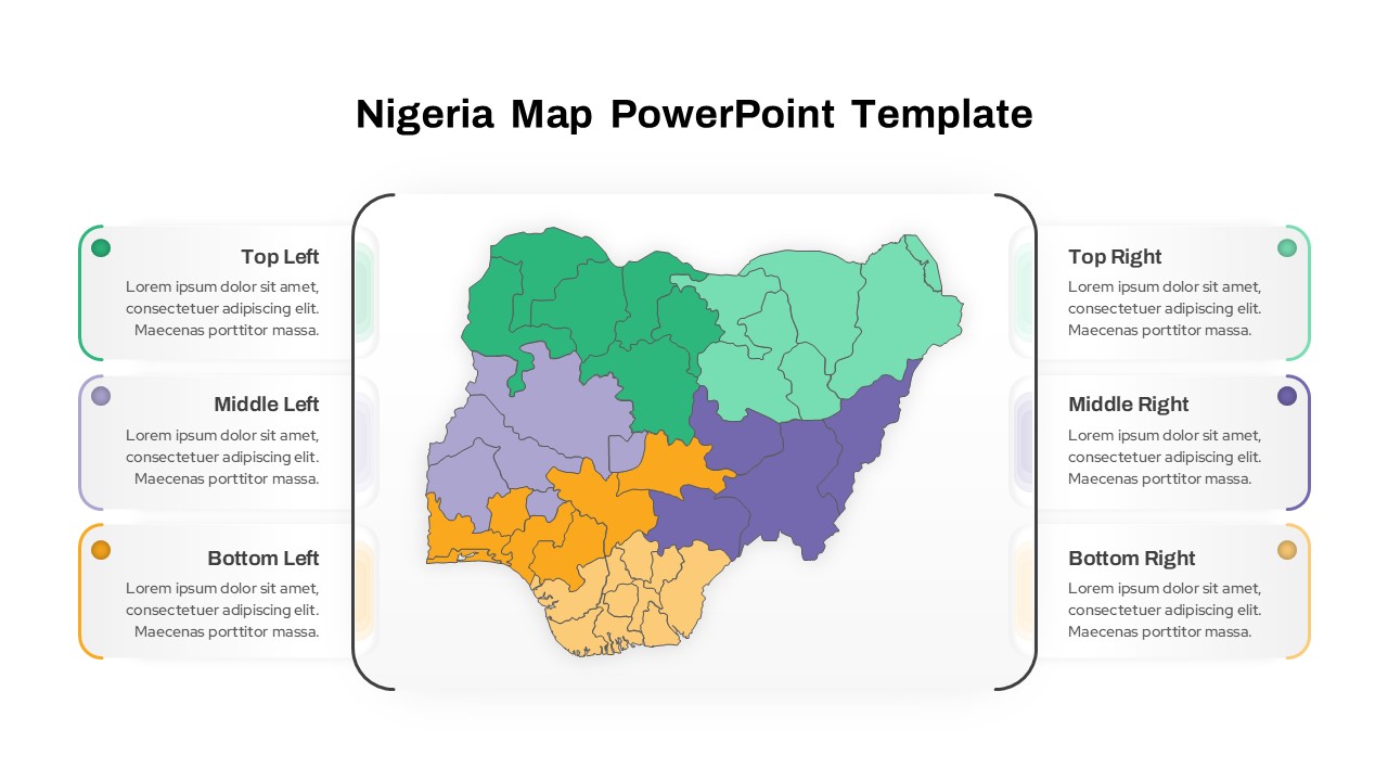
Nigeria Regional Callout Map Diagram Template for PowerPoint & Google Slides
Maps
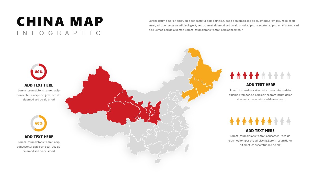
China Map Infographic Regional Stats Template for PowerPoint & Google Slides
World Maps
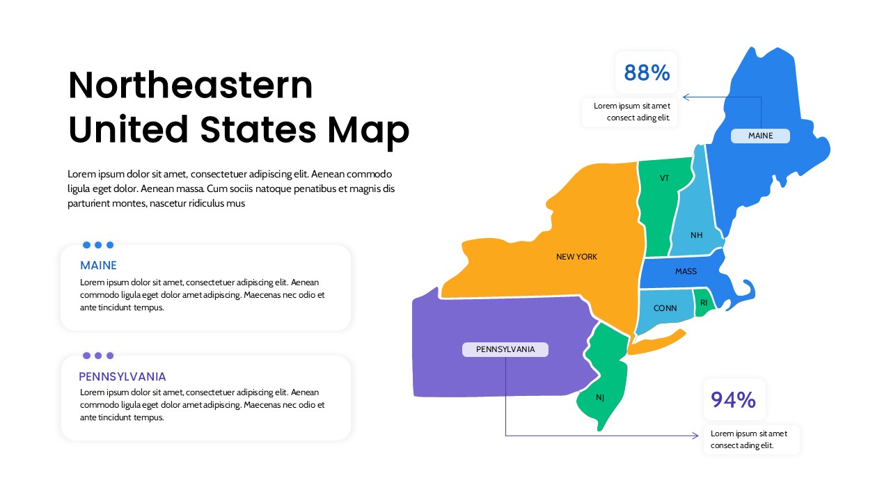
Northeastern United States Regional Map for PowerPoint & Google Slides
World Maps
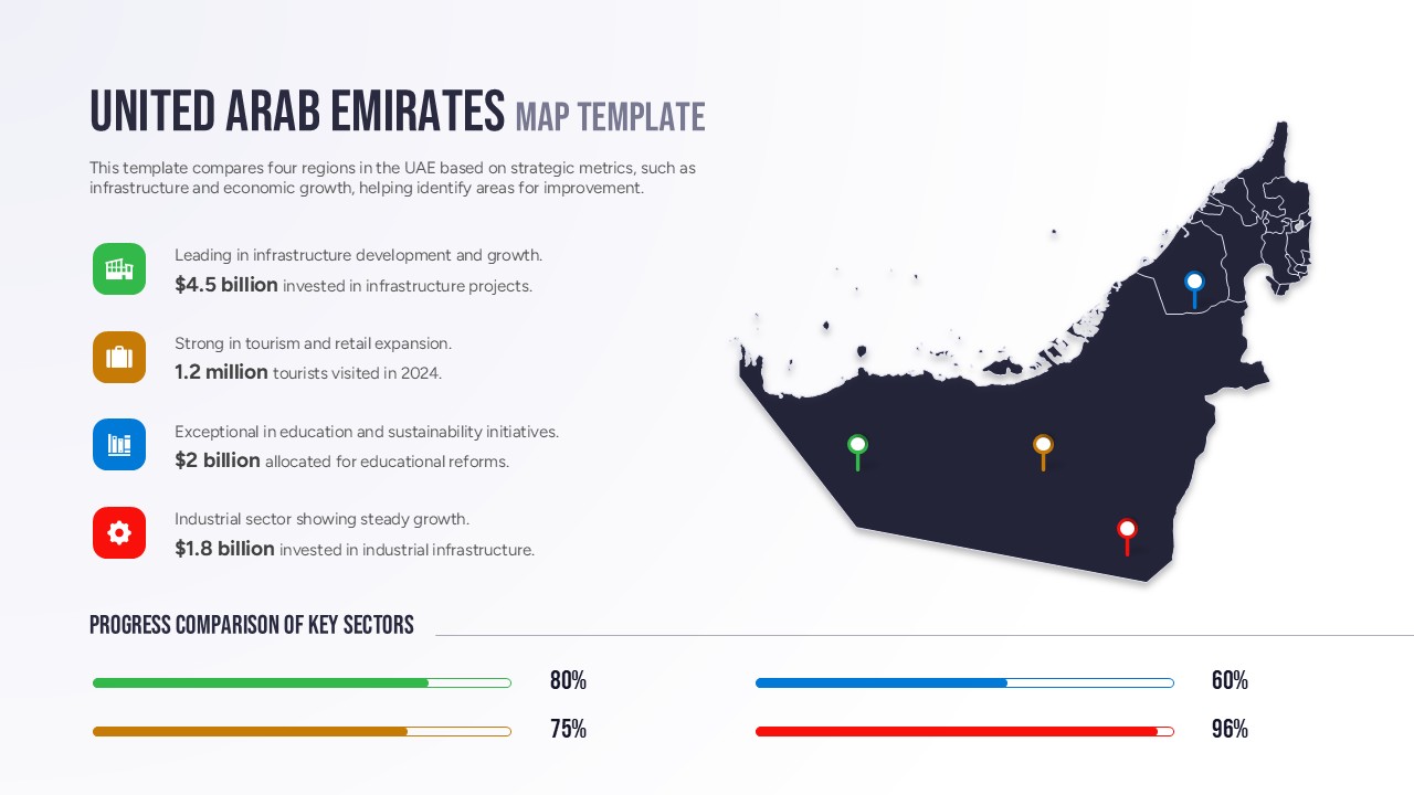
Free United Arab Emirates Regional Map for PowerPoint & Google Slides
World Maps
Free
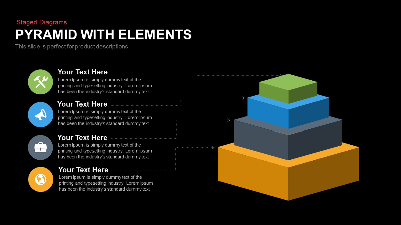
4-Step 3D Pyramid Diagram with Callouts template for PowerPoint & Google Slides
Pyramid
Mobile Mockup with Social Callouts Template for PowerPoint & Google Slides
Software Development
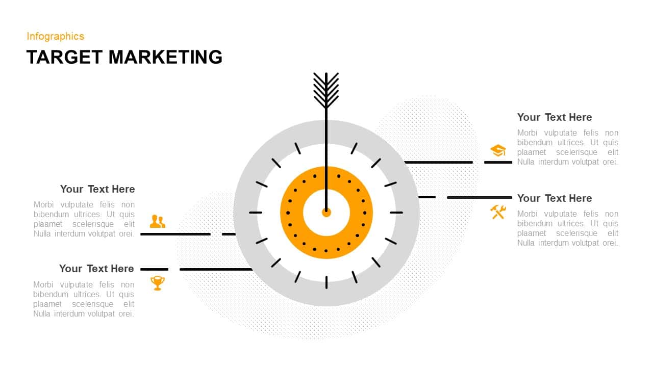
Target Marketing Infographic Callouts Template for PowerPoint & Google Slides
Circular
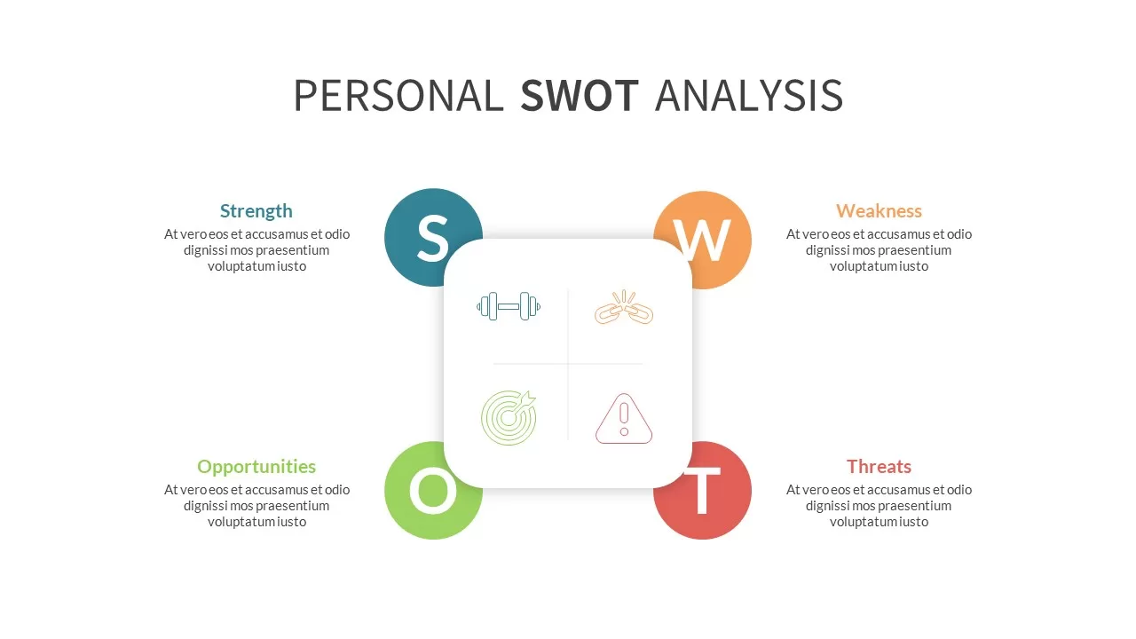
Photo Personal SWOT Analysis Callouts Template for PowerPoint & Google Slides
SWOT
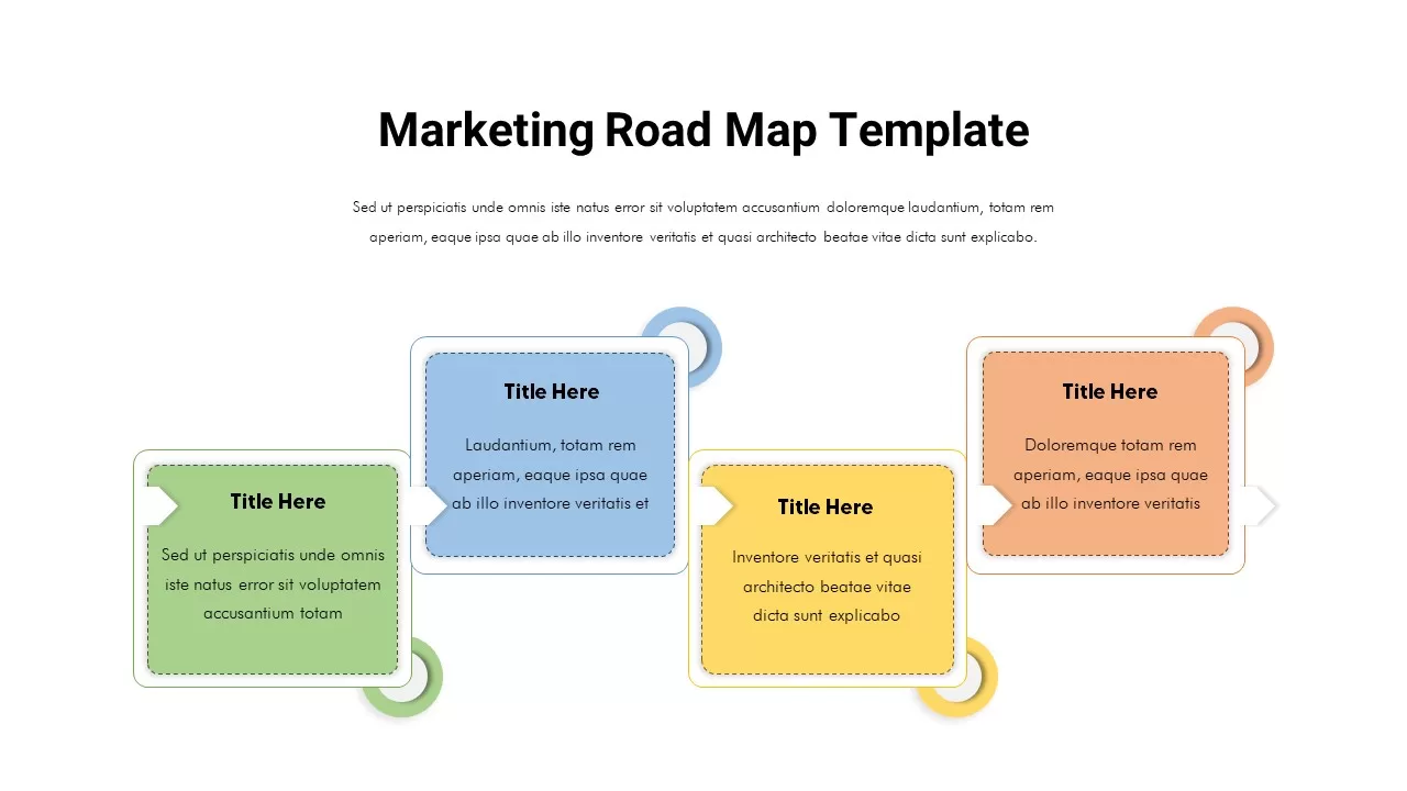
Marketing Roadmap with Four Callouts Template for PowerPoint & Google Slides
Roadmap
iPhone 14 Feature Callouts Mockup Slide Template for PowerPoint & Google Slides
Graphics
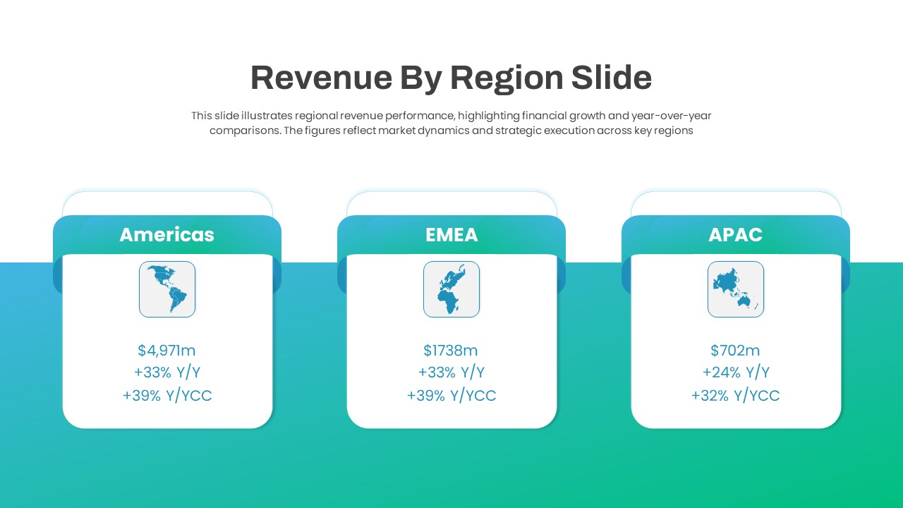
Regional Revenue Comparison Overview Template for PowerPoint & Google Slides
Comparison
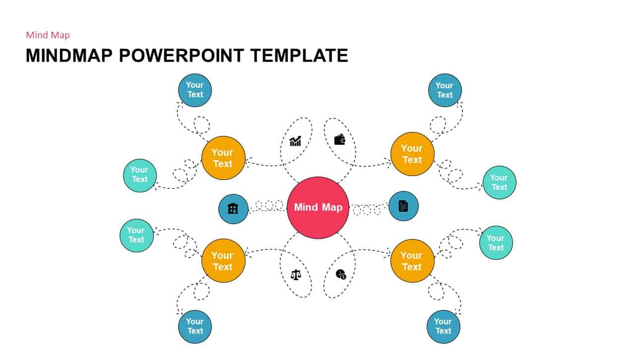
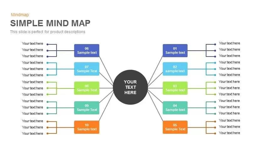
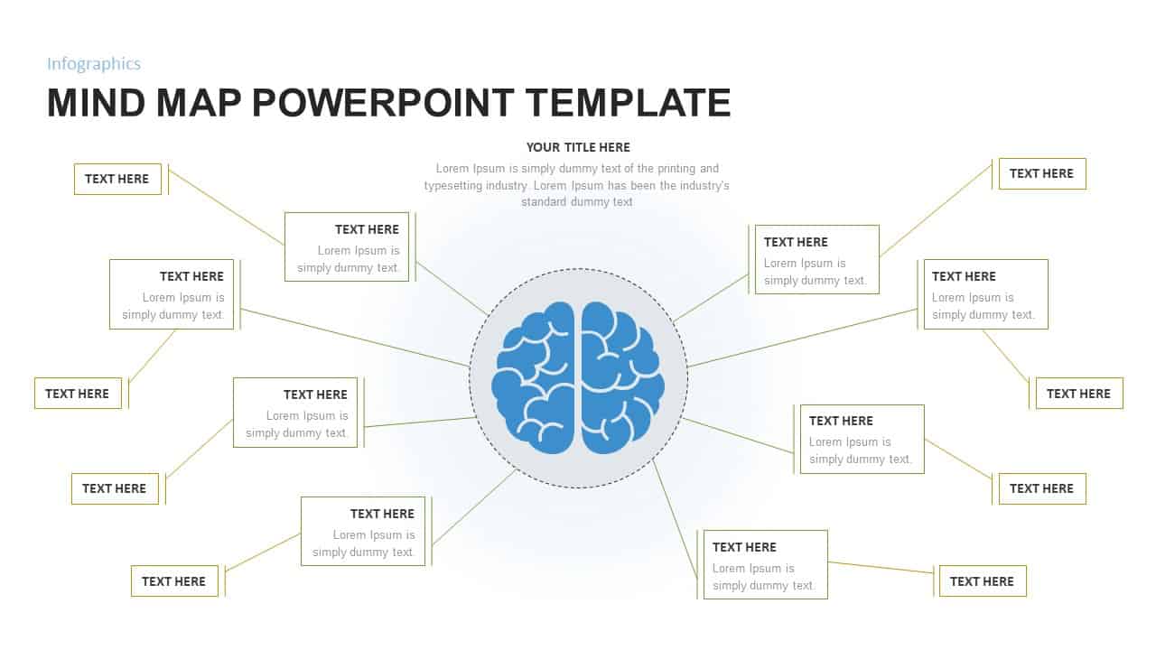
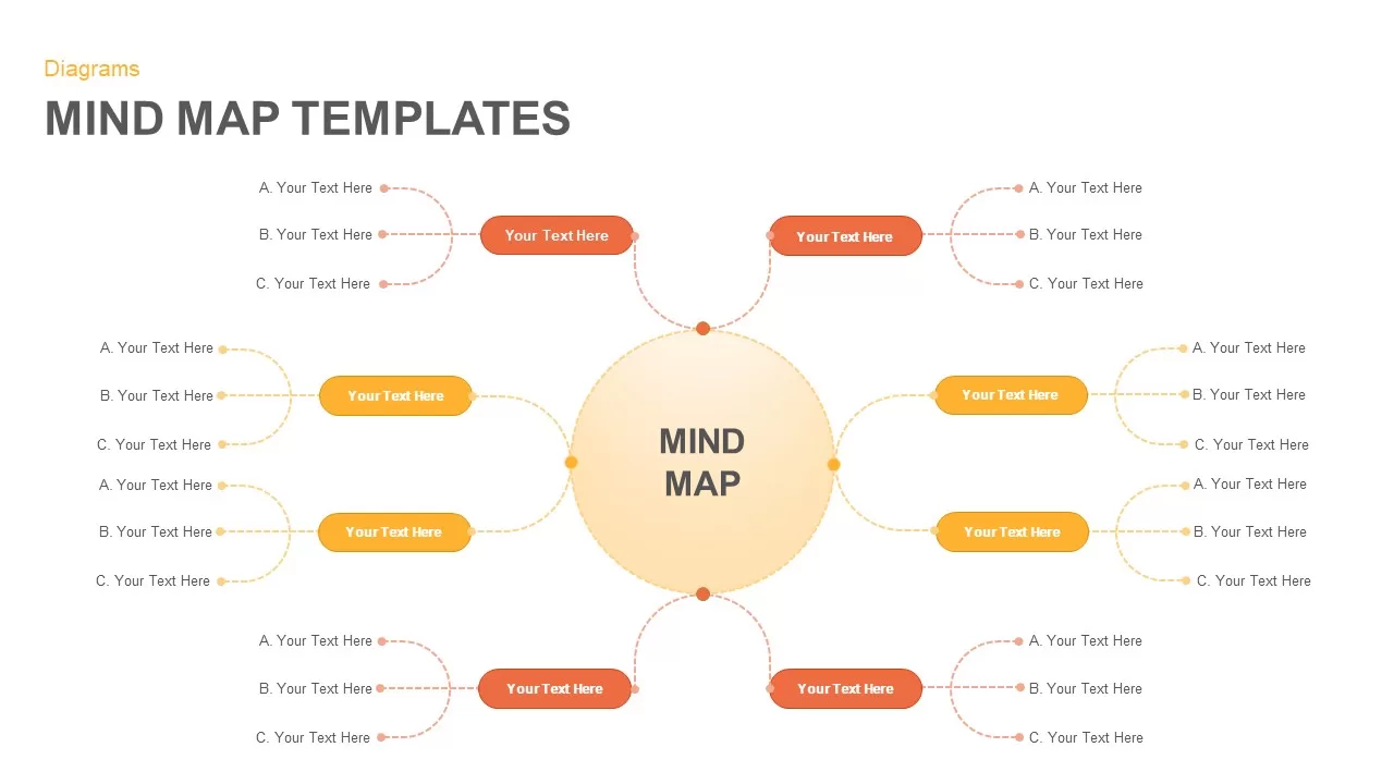
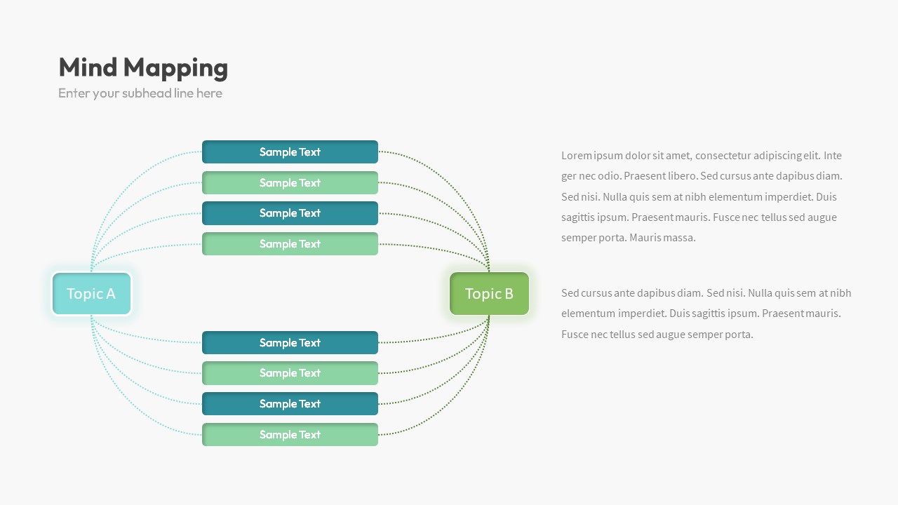
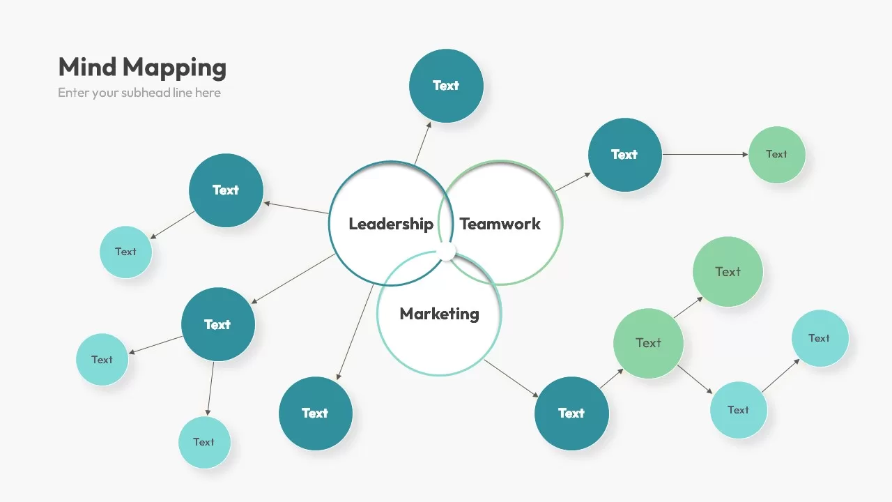
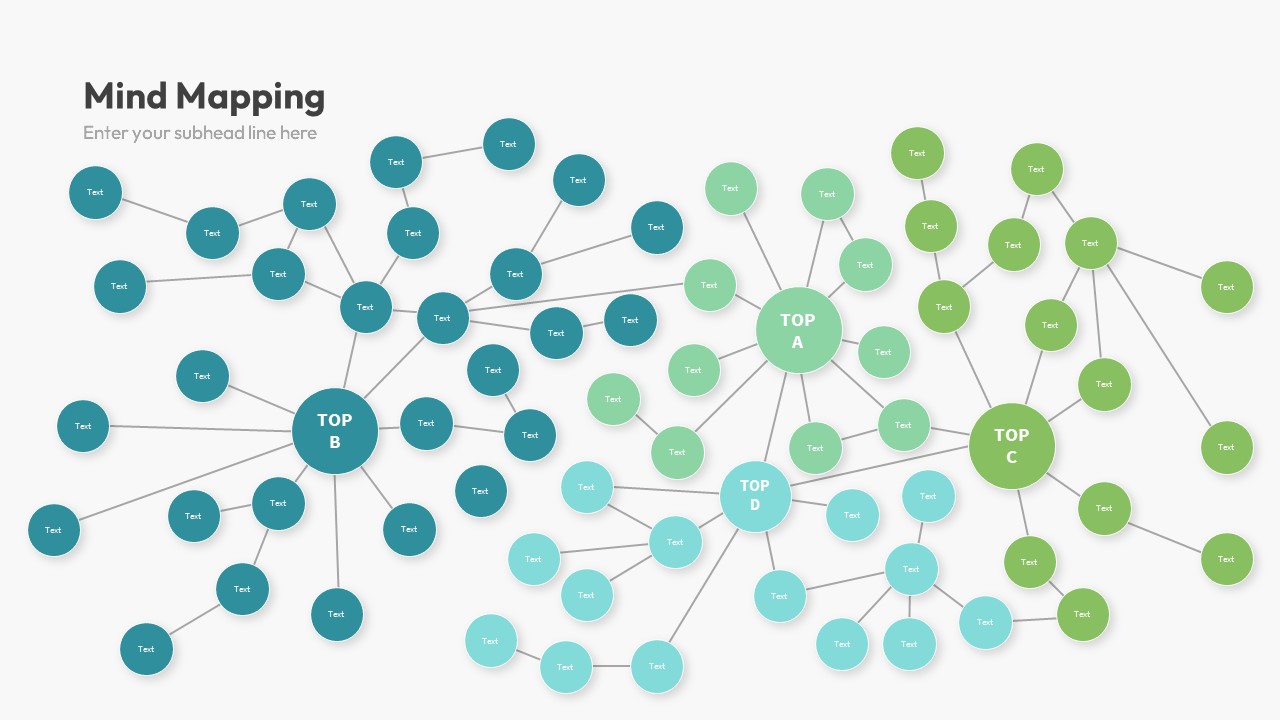
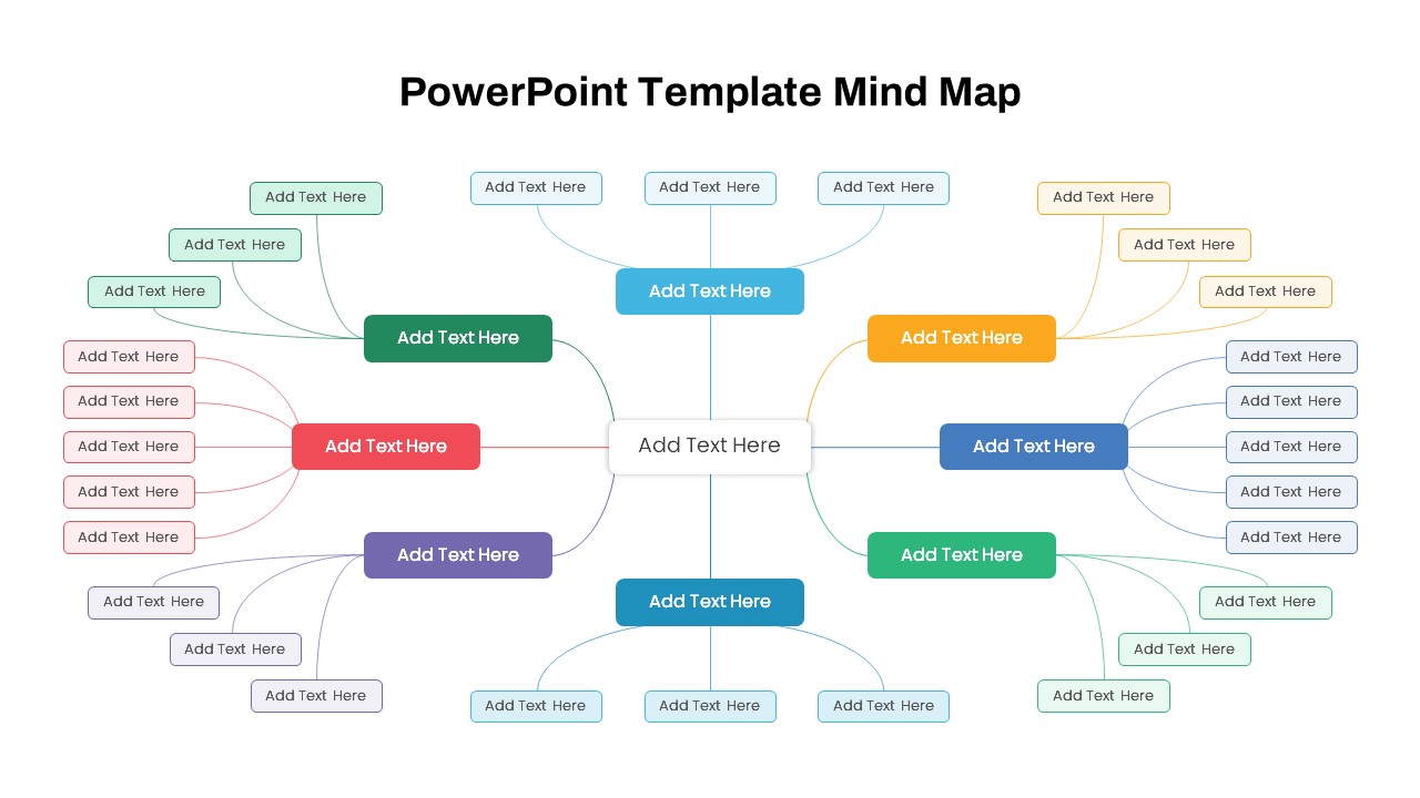
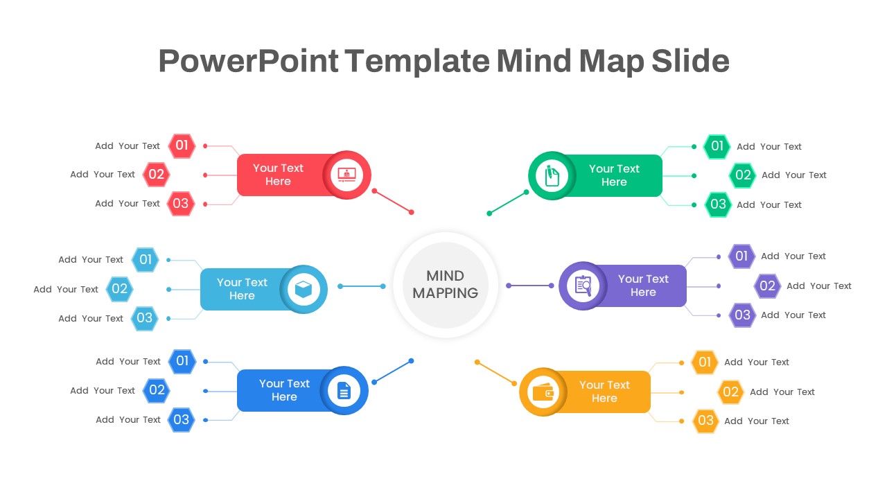
Mind Map PowerPoint template for PowerPoint & Google Slides
Mind Maps
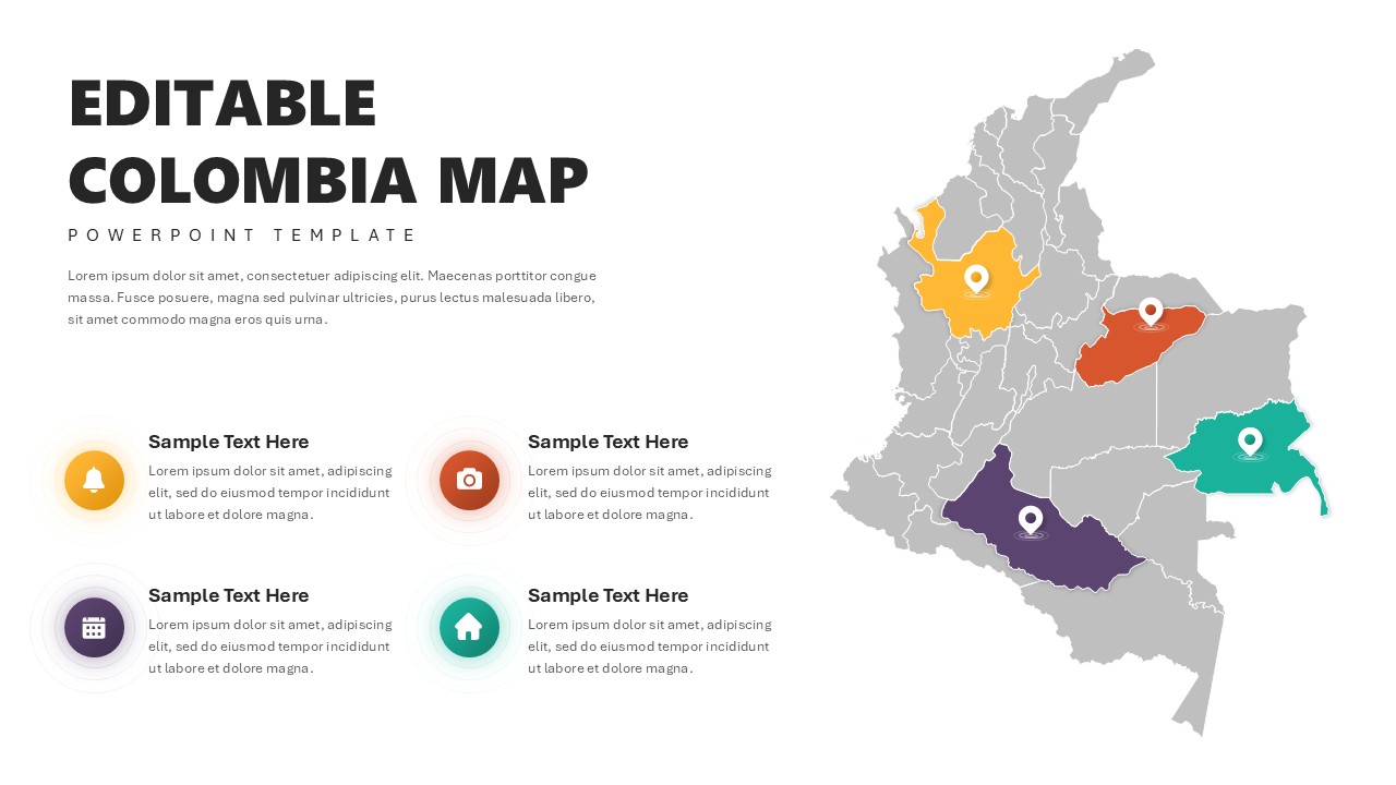
Editable Colombia Map PowerPoint Template for PowerPoint & Google Slides
Business Models
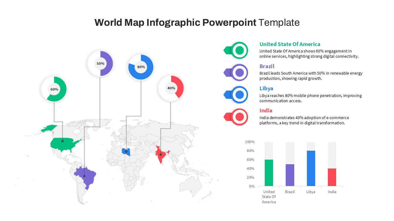
World Map Data template for PowerPoint & Google Slides
World Maps
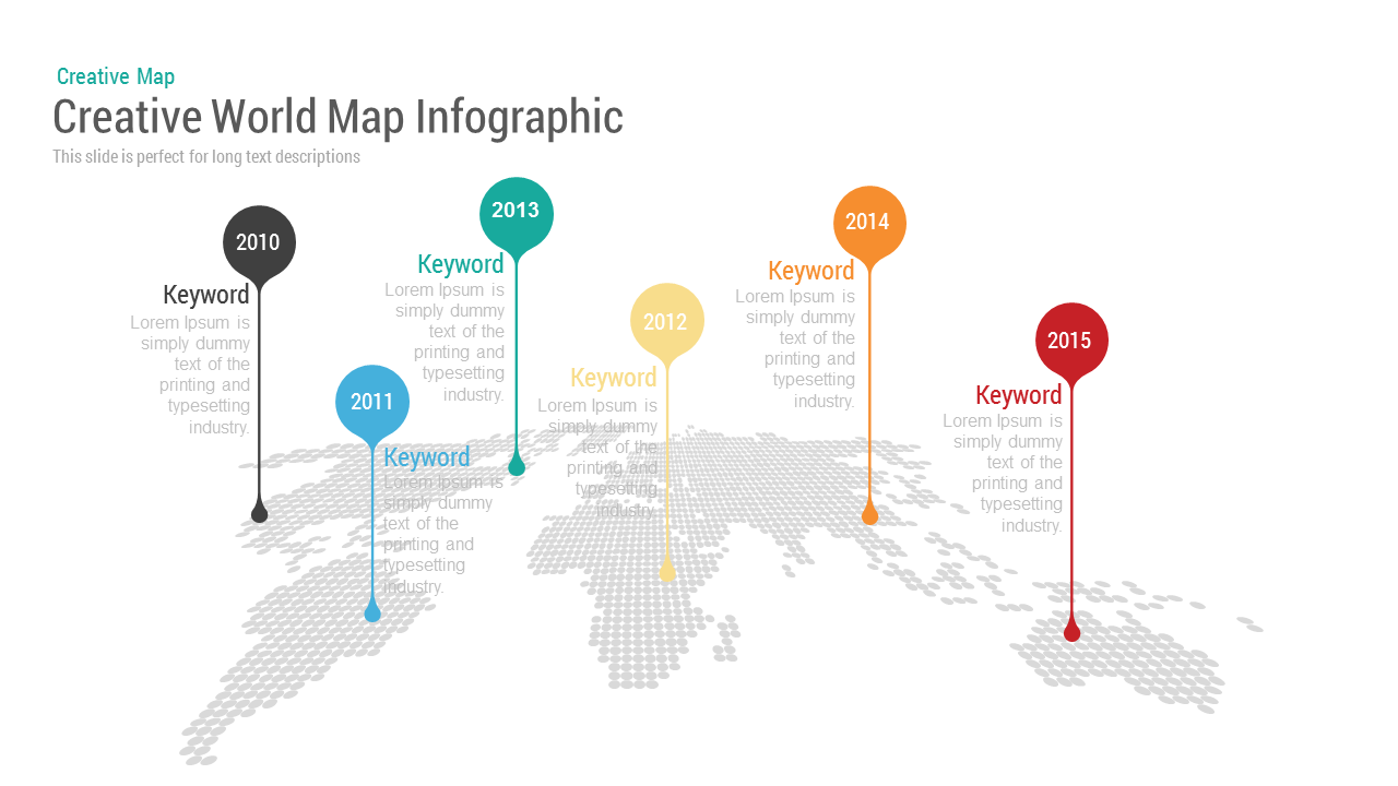
Creative World Map template for PowerPoint & Google Slides
World Maps
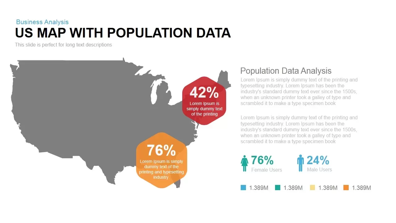
Interactive US Population Data Map Slide Template for PowerPoint & Google Slides
World Maps
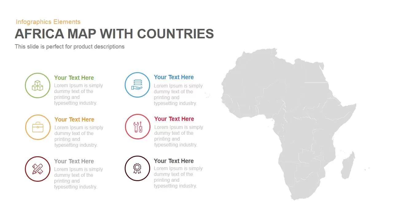
Africa Country Map Infographic Template for PowerPoint & Google Slides
World Maps
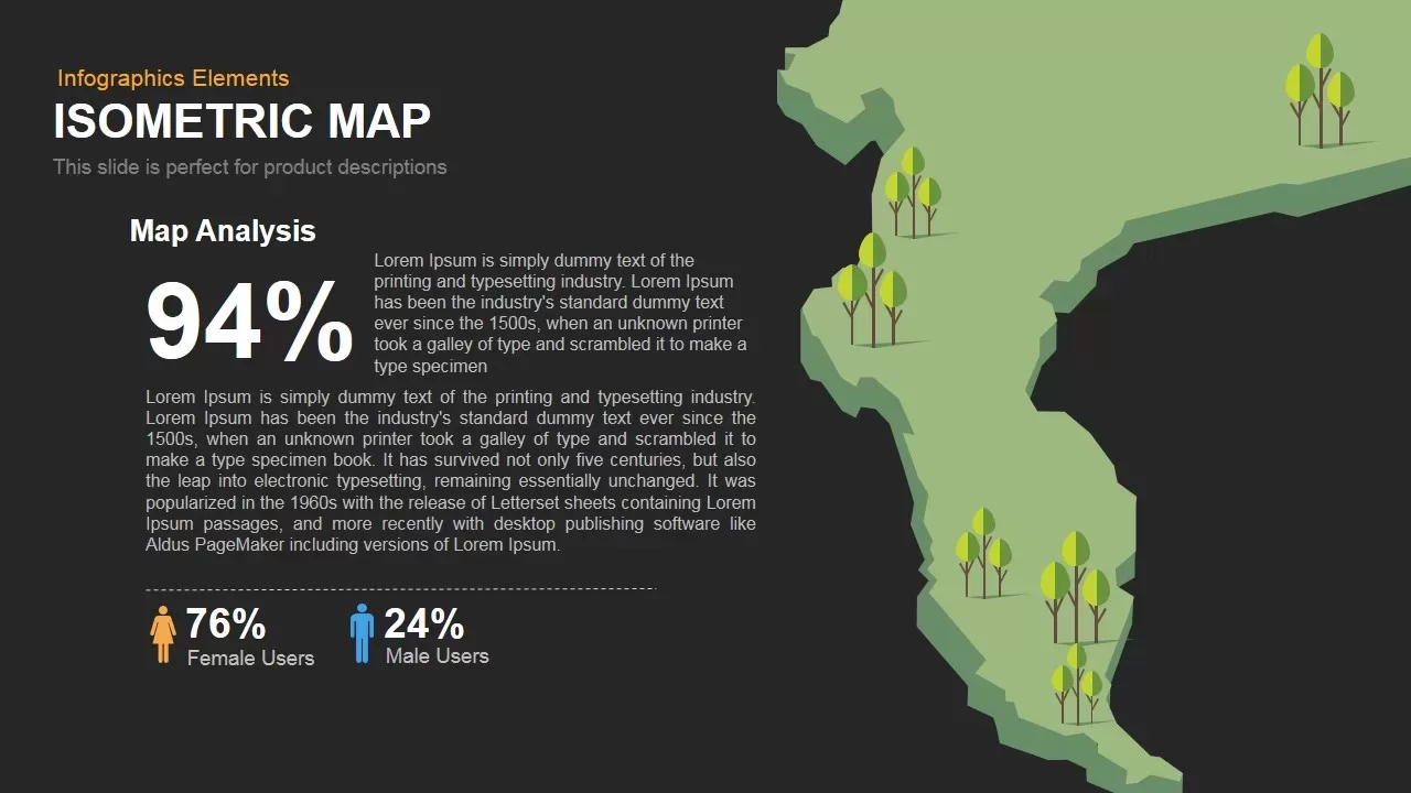
Isometric Map Analysis Slide Template for PowerPoint & Google Slides
World Maps
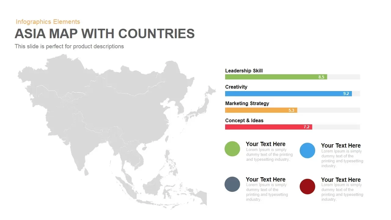
Asia Map with KPI Metrics and Legend Template for PowerPoint & Google Slides
World Maps
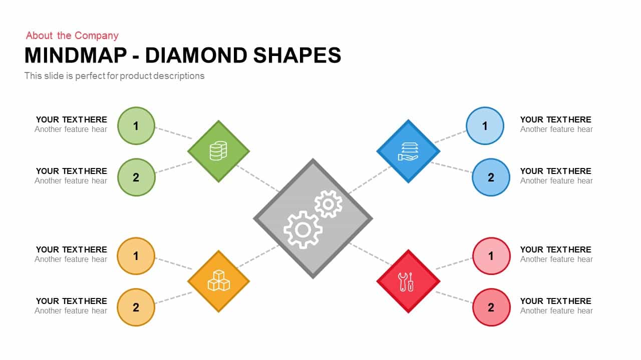
Diamond Mind Map Diagram Four Branches Template for PowerPoint & Google Slides
Mind Maps
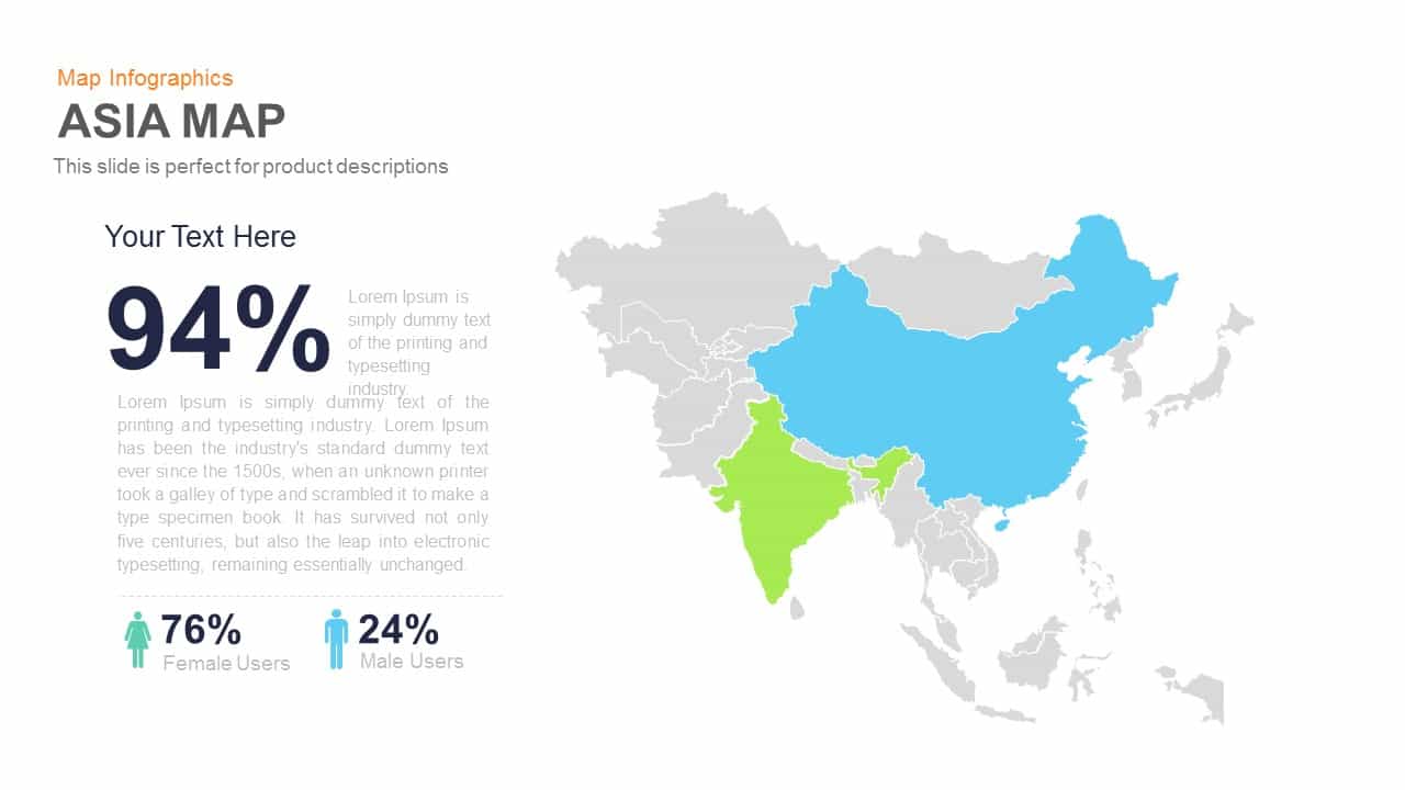
Asia Map Infographic with Demographics template for PowerPoint & Google Slides
World Maps
Simple Multi-Branch Mind Map Template for PowerPoint & Google Slides
Mind Maps
Customizable USA Map With State Markers Template for PowerPoint & Google Slides
World Maps
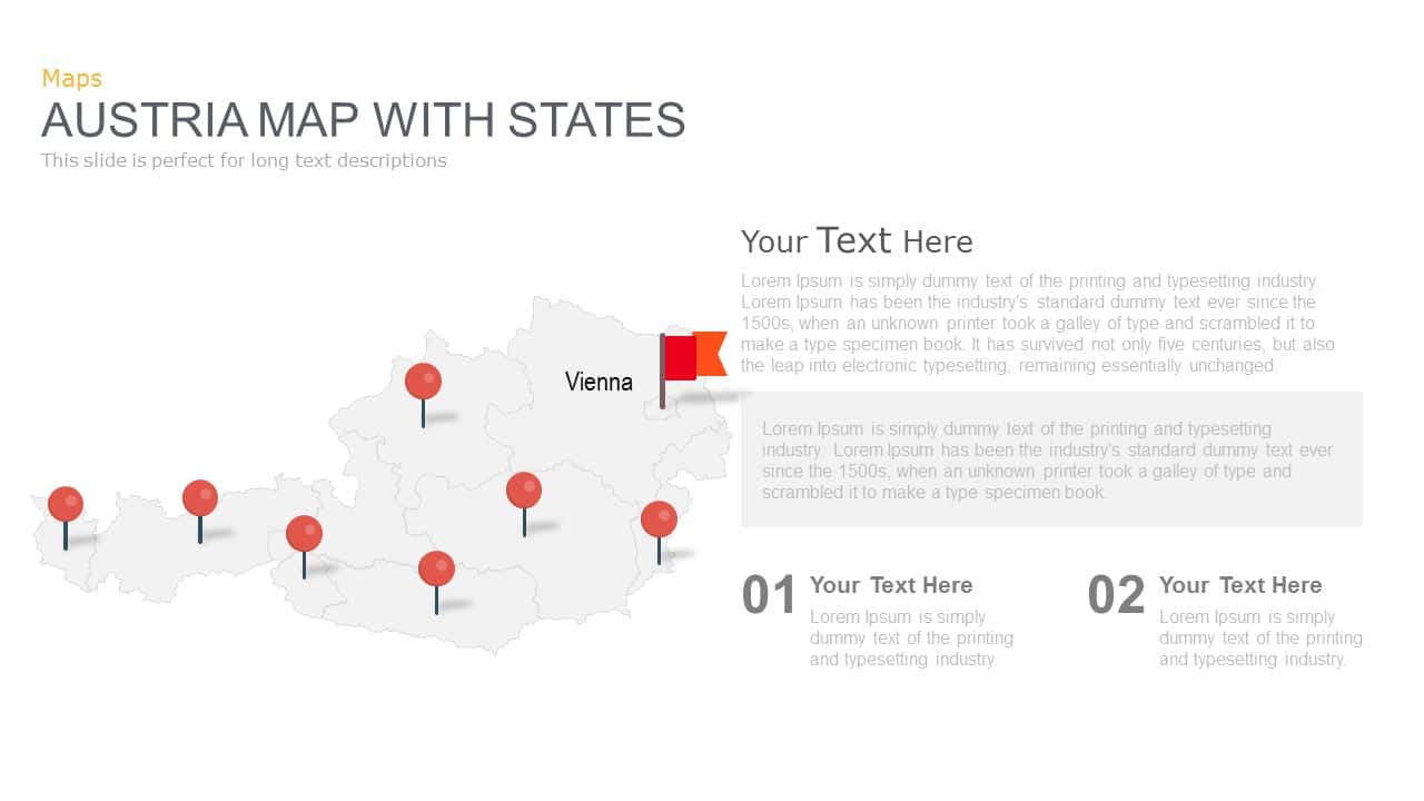
Austria Map With State Markers Template for PowerPoint & Google Slides
World Maps
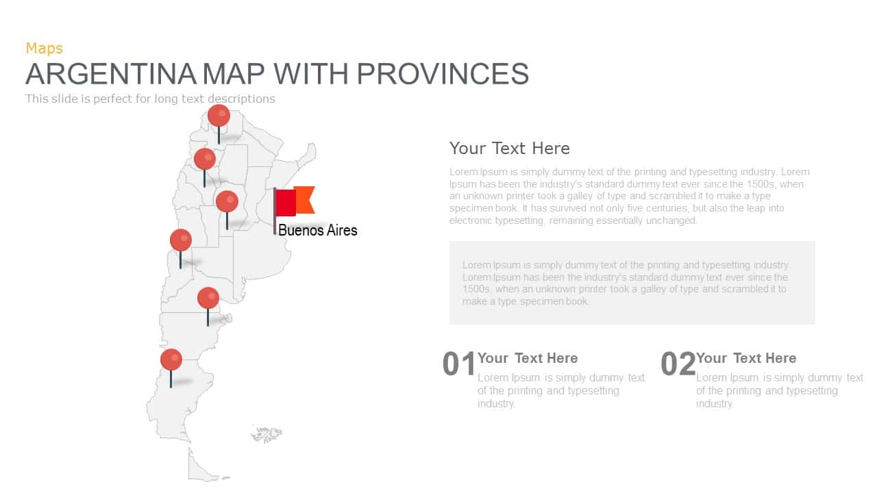
Argentina Province Map Markers Template for PowerPoint & Google Slides
World Maps
Venezuela Map with States and Regions Template for PowerPoint & Google Slides
World Maps
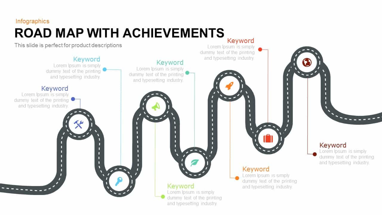
Road Map with Achievements Milestones Template for PowerPoint & Google Slides
Roadmap
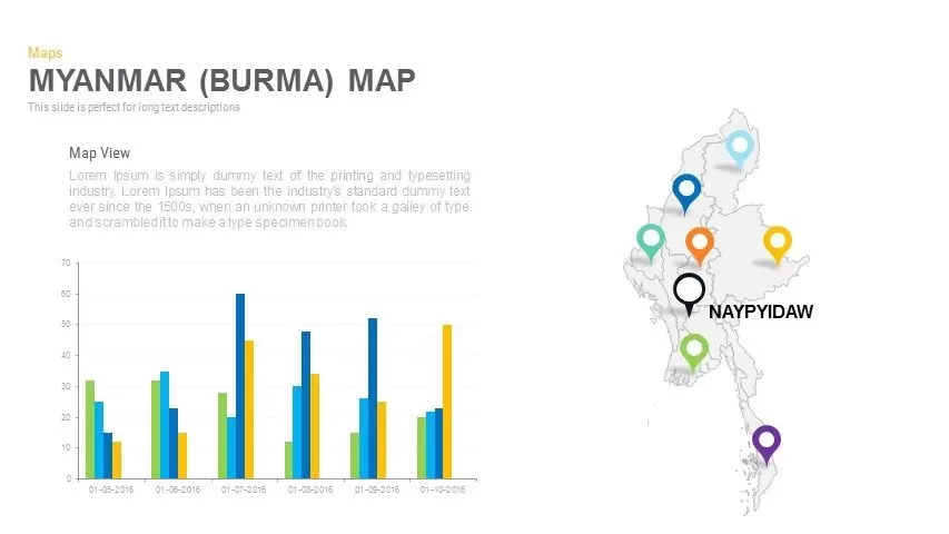
Myanmar (Burma) Provincial Map Infographic Template for PowerPoint & Google Slides
Maps
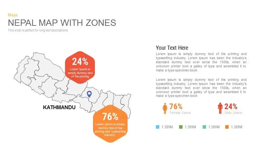
Nepal Map with Zones Infographic Template for PowerPoint & Google Slides
Maps
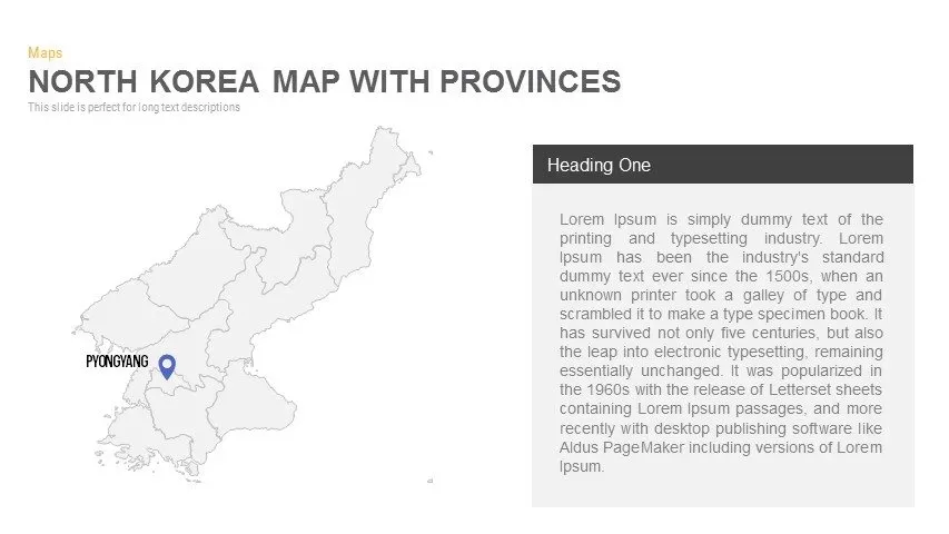
North Korea Map with Provinces Infographic Pack Template for PowerPoint & Google Slides
Maps
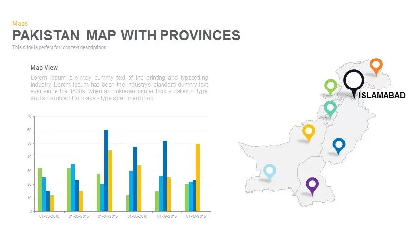
Pakistan Provinces Map Infographic Pack Template for PowerPoint & Google Slides
Maps
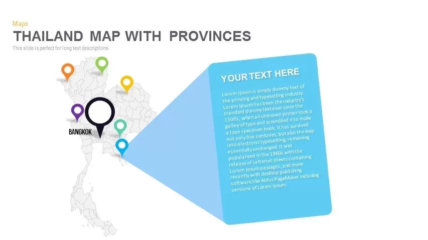
Thailand Provinces Map Infographic Pack Template for PowerPoint & Google Slides
Maps
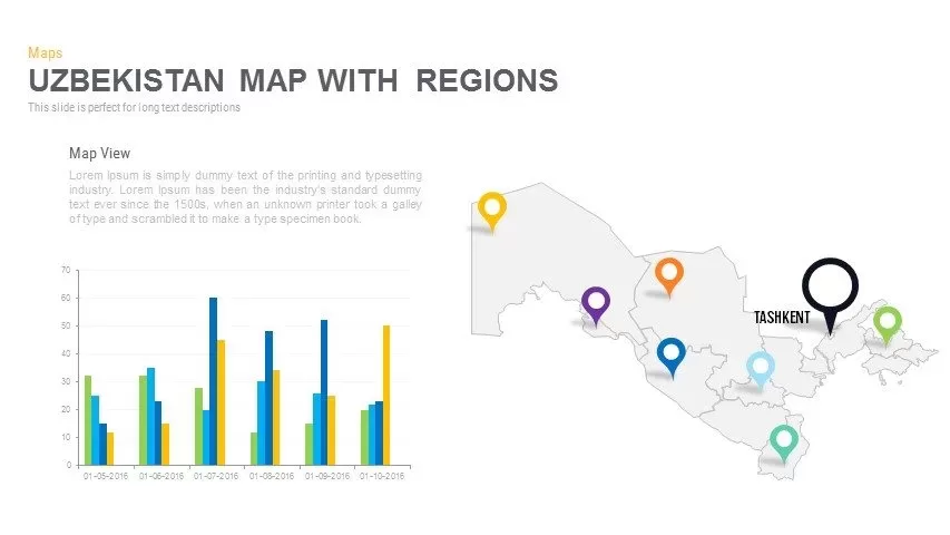
Uzbekistan Map with Regions Pack Template for PowerPoint & Google Slides
Maps
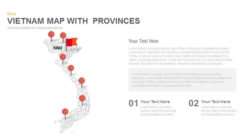
Vietnam Provinces Map Infographic Pack Template for PowerPoint & Google Slides
Maps
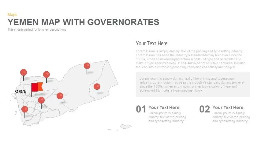
Yemen Governorates Infographic Map Template for PowerPoint & Google Slides
Maps
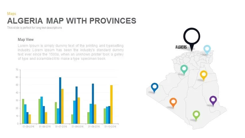
Algeria Map with Provinces Pack Template for PowerPoint & Google Slides
Maps
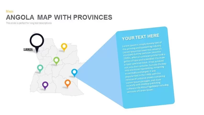
Angola Provinces Map Slide Pack Template for PowerPoint & Google Slides
World Maps
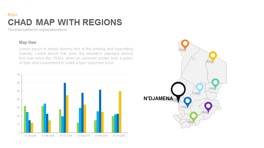
Chad Map with Regions Slide Pack Template for PowerPoint & Google Slides
World Maps
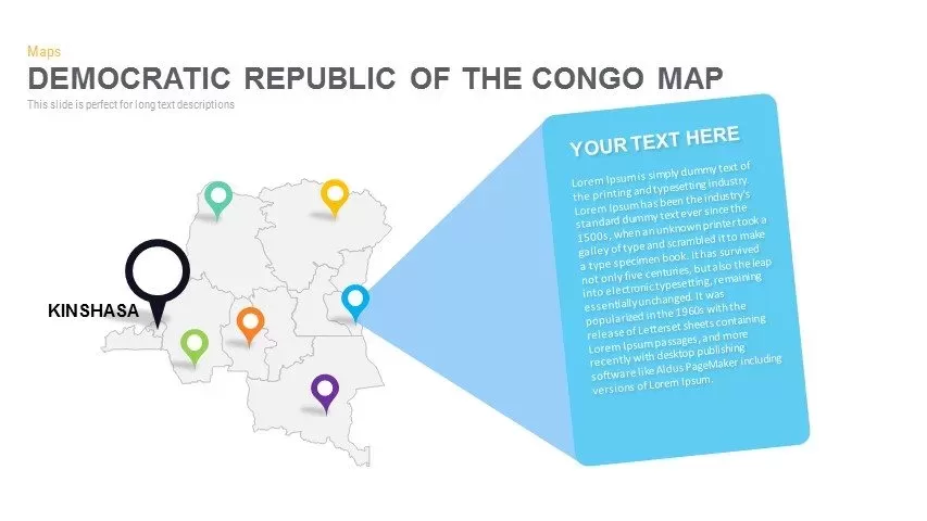
DR Congo Prefecture Map Slide Pack Template for PowerPoint & Google Slides
World Maps
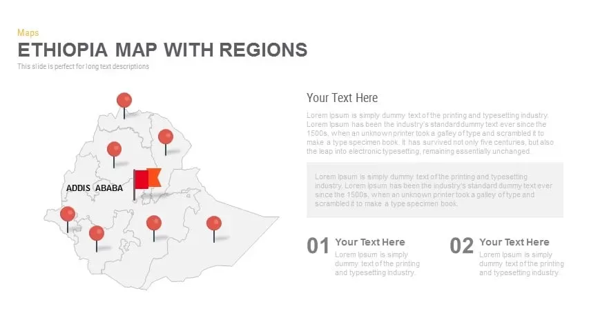
Ethiopia Map with Regions Slide Pack Template for PowerPoint & Google Slides
World Maps
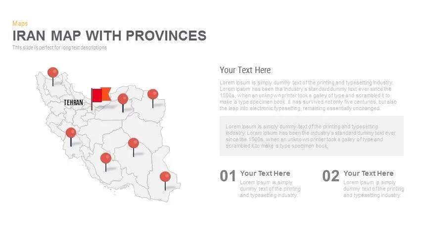
Iran Map with Provinces Slide Pack Template for PowerPoint & Google Slides
World Maps

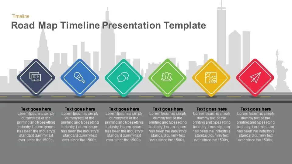
Road Map Timeline Presentation template for PowerPoint & Google Slides
Roadmap

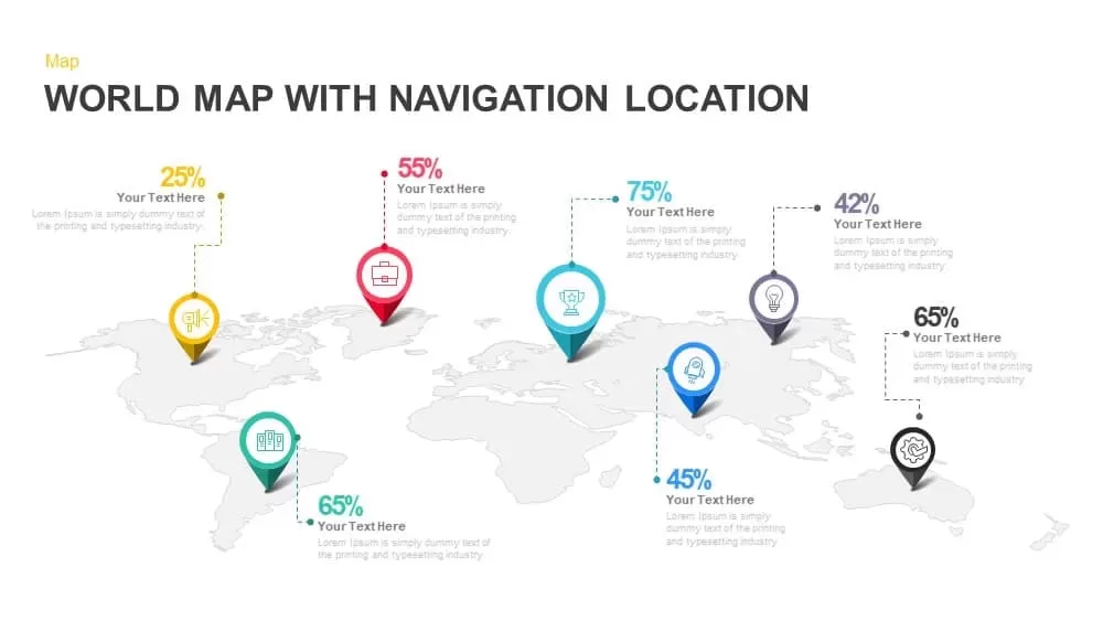
Global Map with Location Markers Template for PowerPoint & Google Slides
World Maps

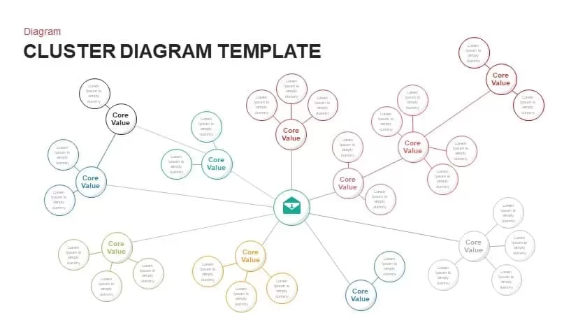
Multi-Cluster Mind Map Infographic Template for PowerPoint & Google Slides
Mind Maps
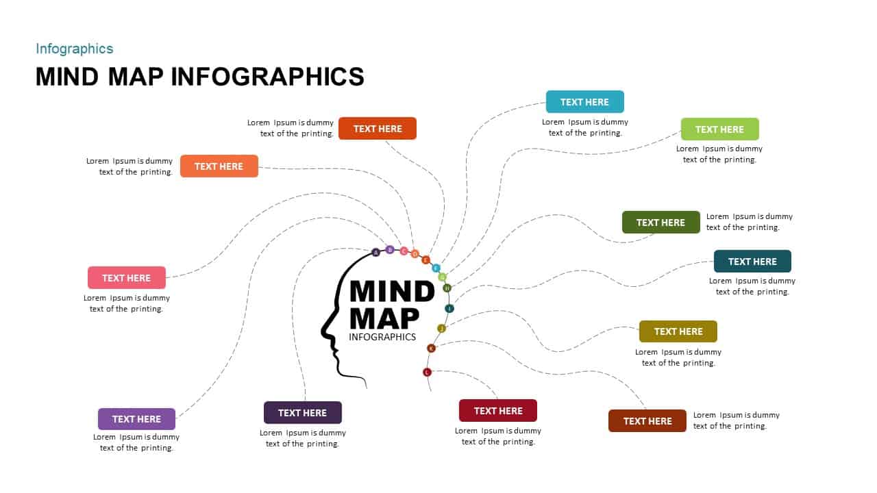
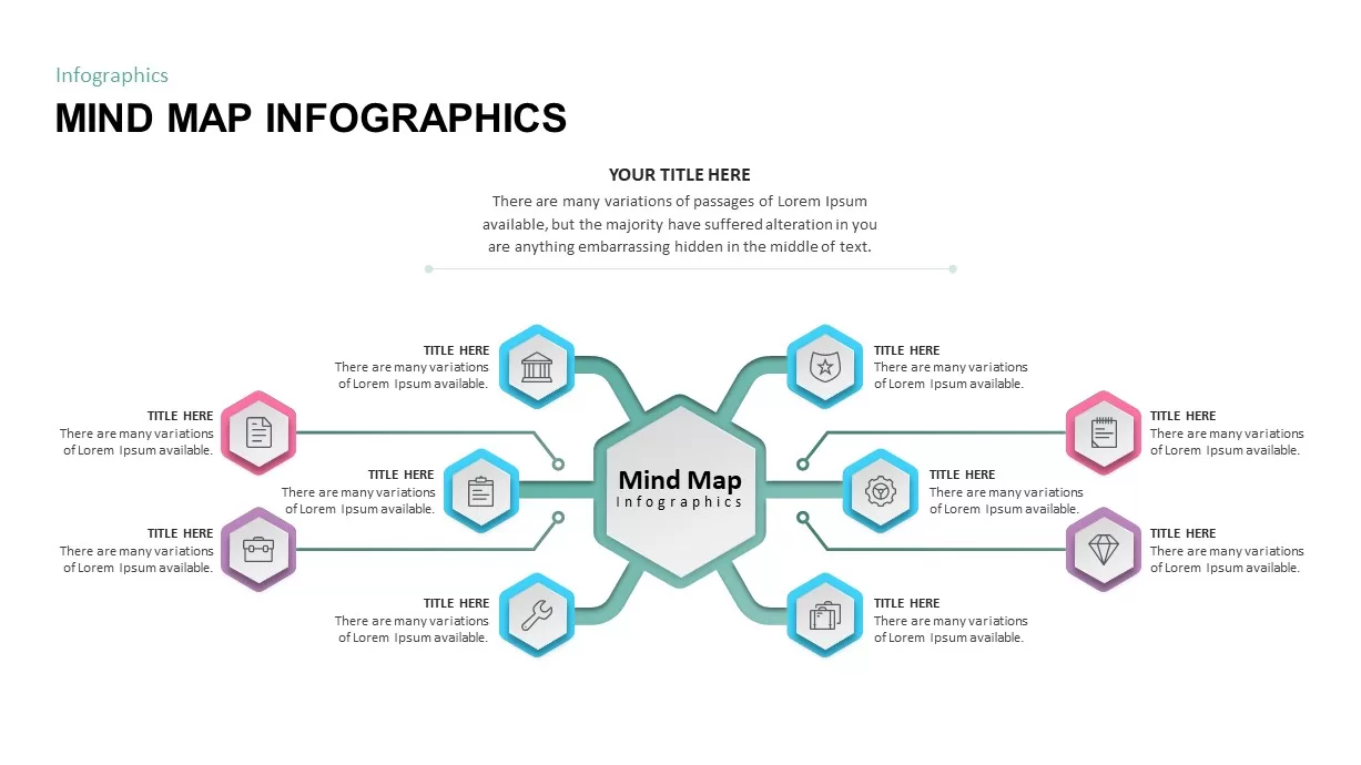
Mind Map Infographic Slide Template for PowerPoint & Google Slides
Mind Maps
Mind Map Infographics template for PowerPoint & Google Slides
Mind Maps

Eight-Node Mind Map Infographic Diagram Template for PowerPoint & Google Slides
Mind Maps
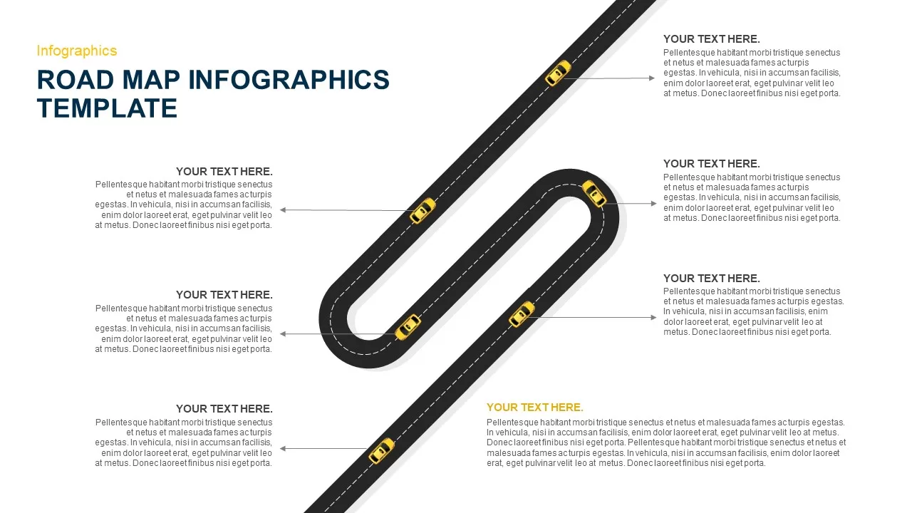
Six-Stage Road Map Infographic Timeline Template for PowerPoint & Google Slides
Roadmap
Versatile Mind Map Infographic Template for PowerPoint & Google Slides
Mind Maps
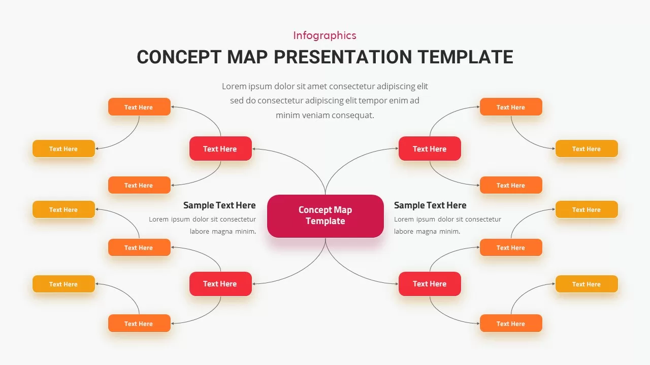
Concept Map Presentation Template for PowerPoint & Google Slides
Mind Maps
Structured Mind Map Infographic Diagram Template for PowerPoint & Google Slides
Mind Maps
Dual Topic Mind Map Infographic Template for PowerPoint & Google Slides
Mind Maps
Tri-Cluster Mind Map Infographic Template for PowerPoint & Google Slides
Mind Maps
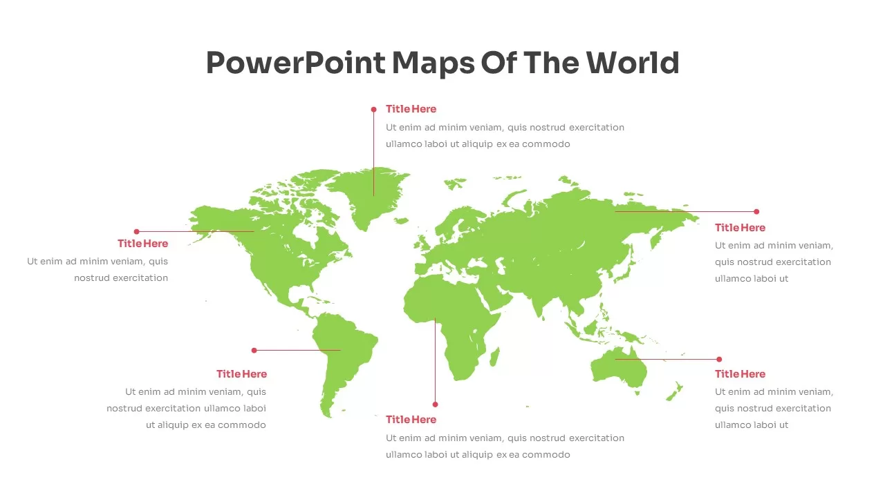
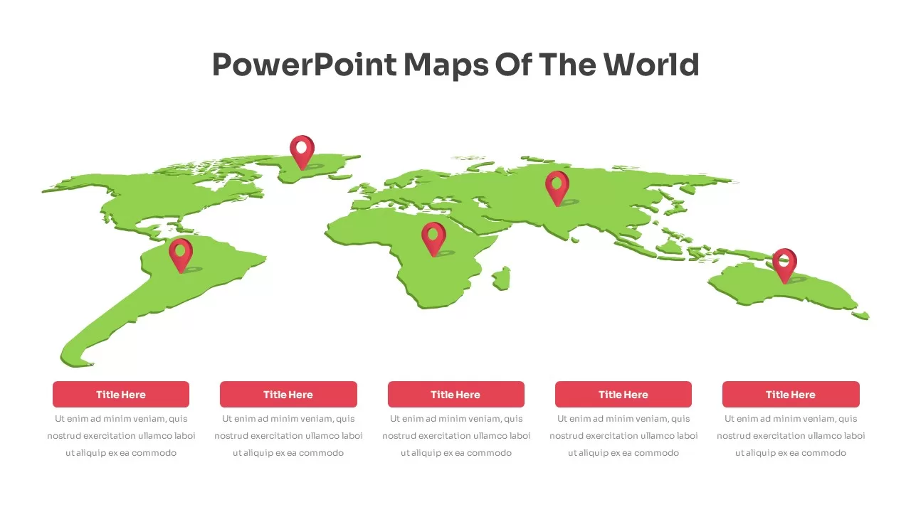
Editable World Map Callout Infographic Template for PowerPoint & Google Slides
World Maps
Editable World Map Callout Infographic Template for PowerPoint & Google Slides
World Maps
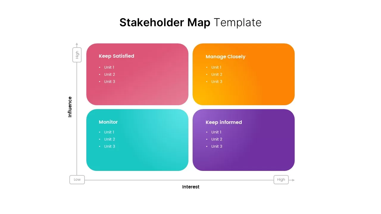
Stakeholder Map Template for PowerPoint & Google Slides
Business
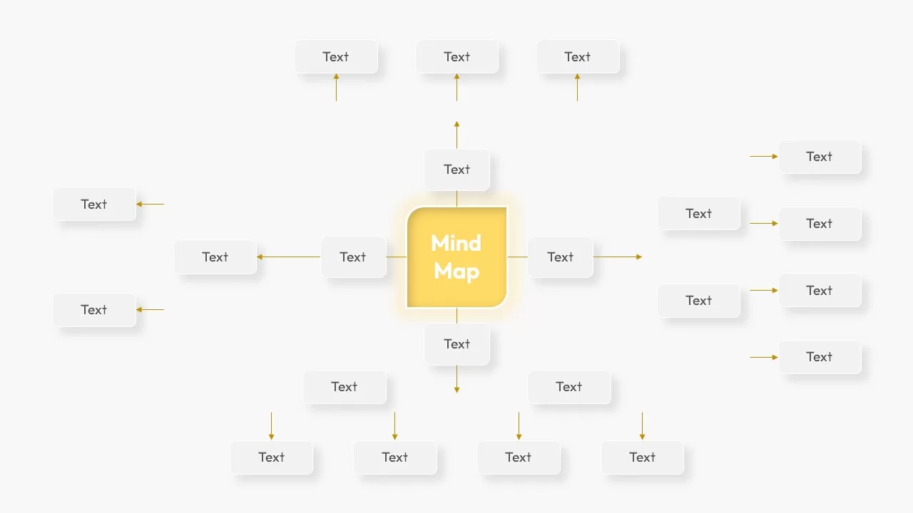
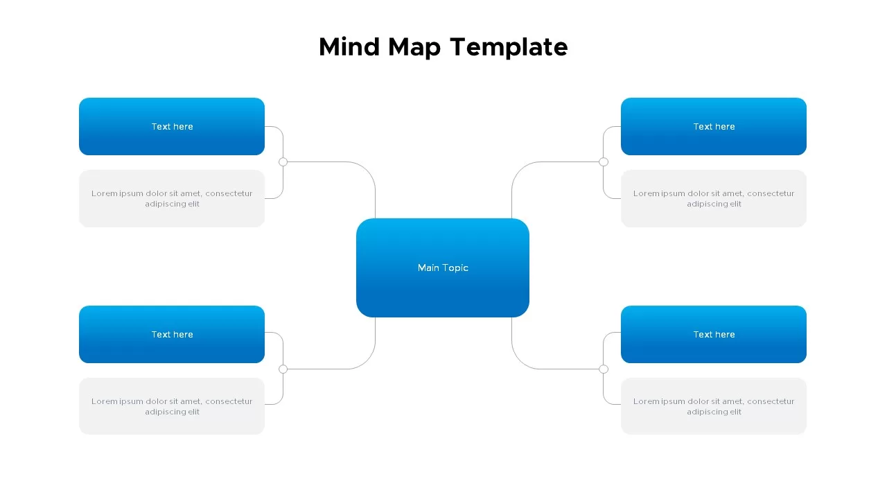
Mind Map Template for PowerPoint & Google Slides
Mind Maps
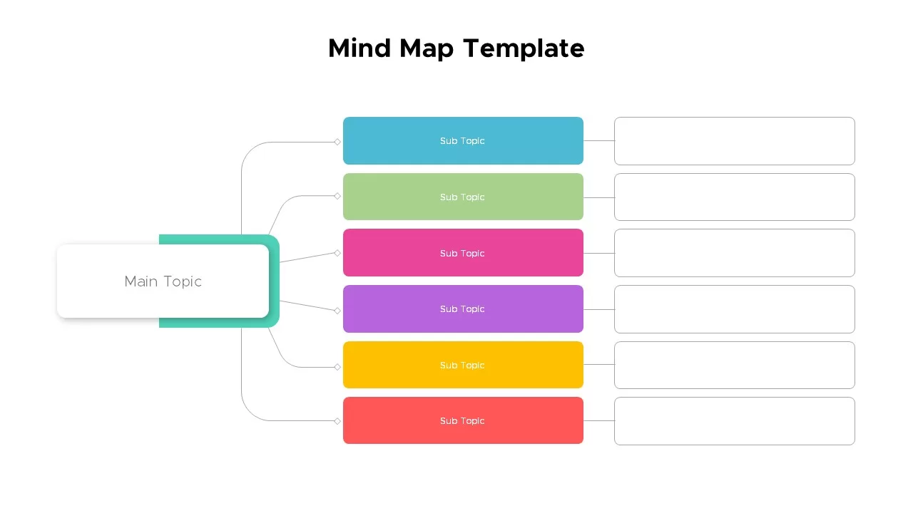
Colorful Mind Map Template for PowerPoint & Google Slides
Mind Maps
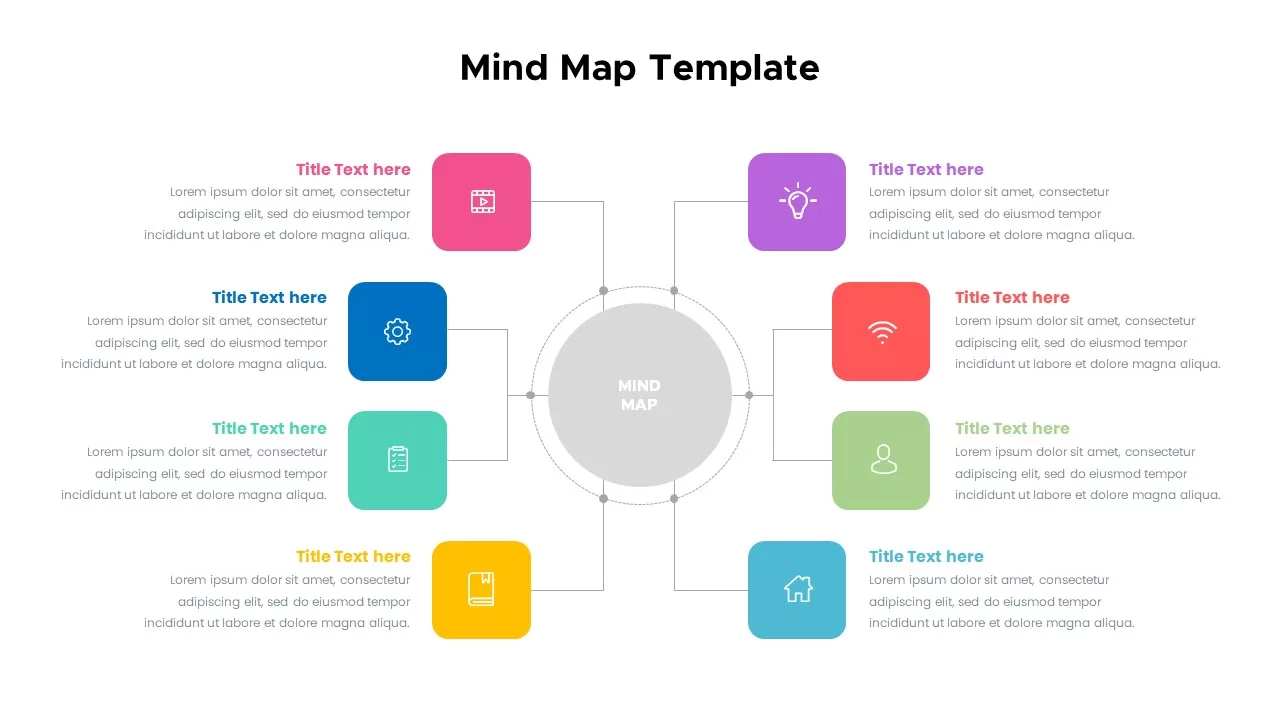
Colorful Mind Map with Icons Template for PowerPoint & Google Slides
Mind Maps
Colorful Mind Map Template for PowerPoint & Google Slides
Mind Maps
North America Map Infographic Slide Template for PowerPoint & Google Slides
World Maps
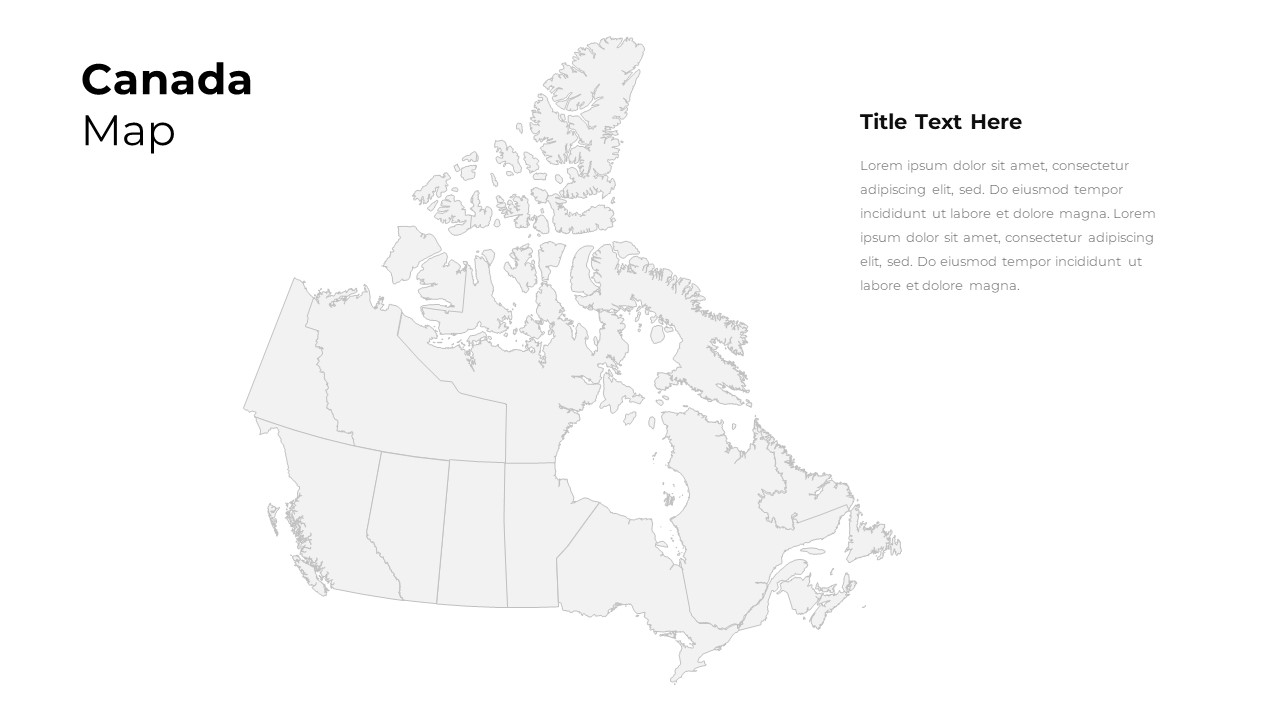
Customizable Canada Map Outline Template for PowerPoint & Google Slides
World Maps
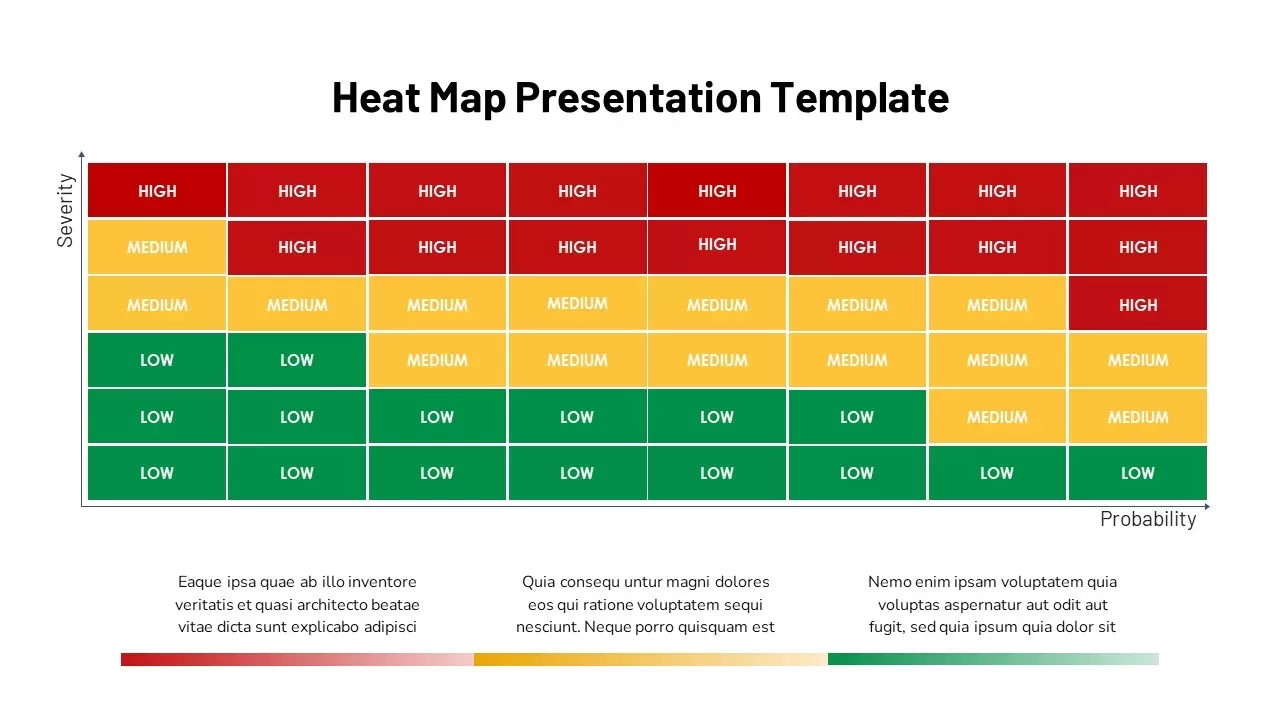
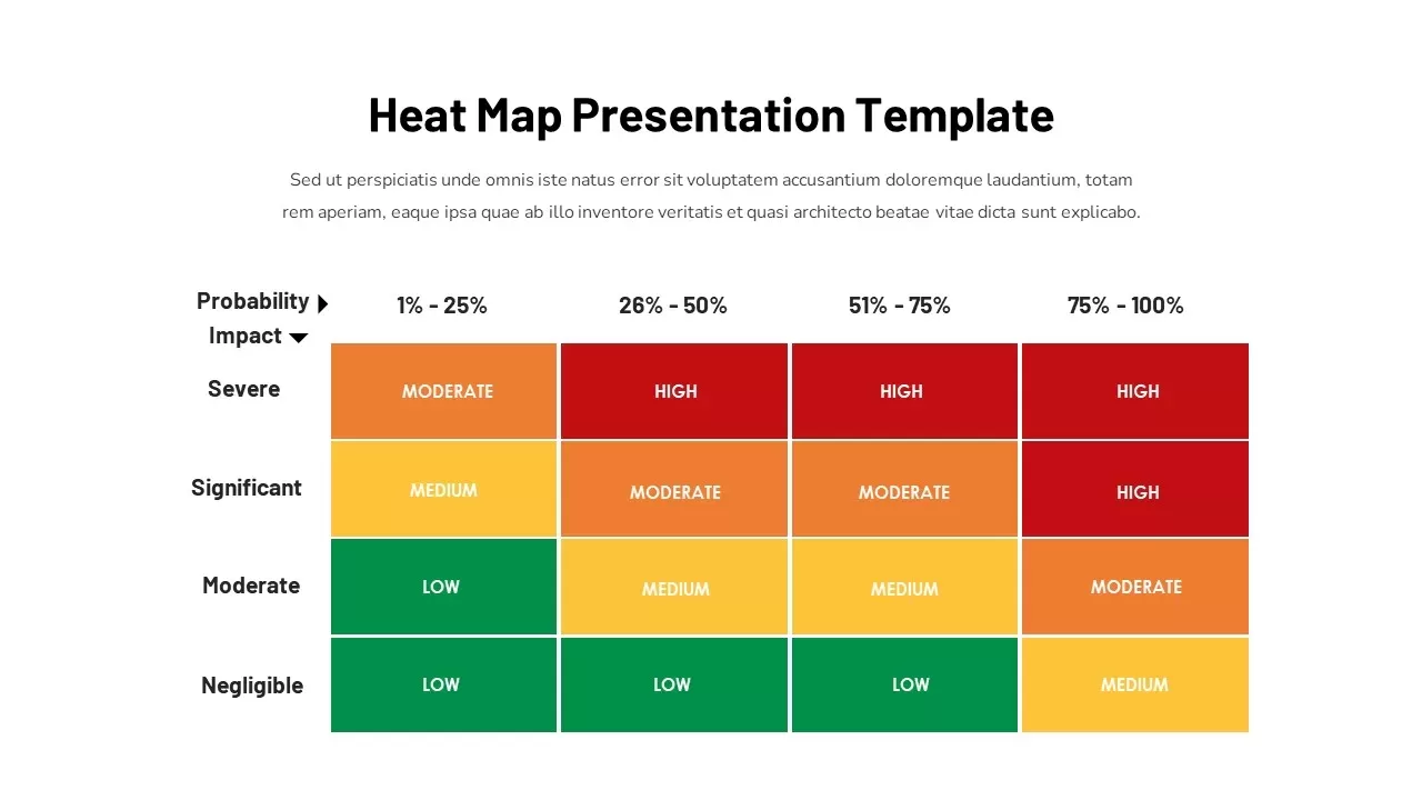
Heat Map Analysis Template for PowerPoint & Google Slides
Risk Management
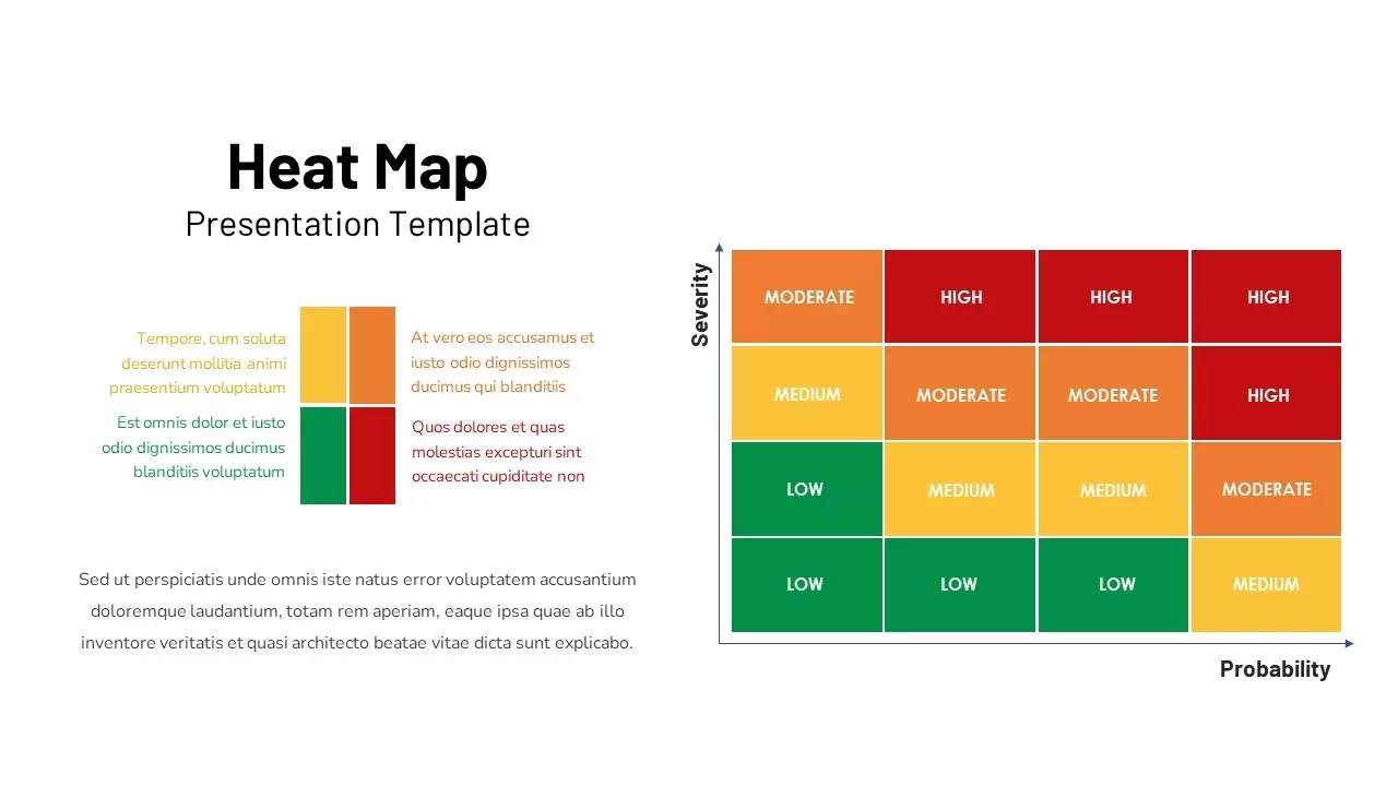
Heat Map Risk Assessment Presentation Template for PowerPoint & Google Slides
Risk Management
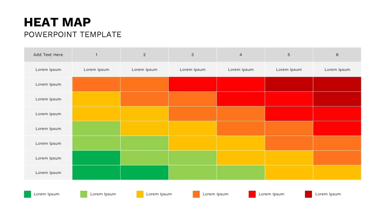
Professional Risk Heat Map Visualization Template for PowerPoint & Google Slides
Risk Management
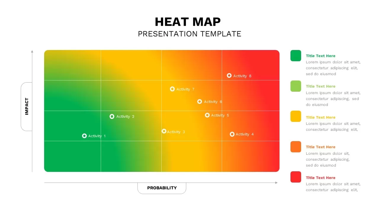
Professional Interactive Heat Map Matrix Template for PowerPoint & Google Slides
Comparison Chart
Heat Map Risk Matrix Dashboard Template for PowerPoint & Google Slides
Comparison Chart
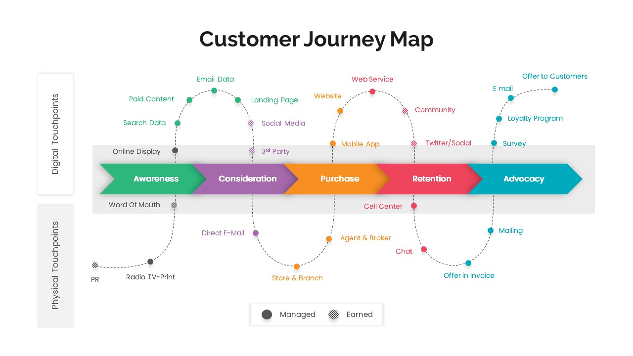
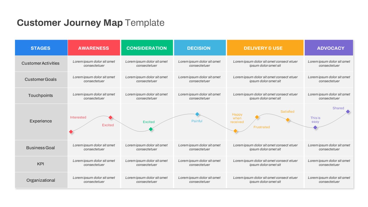
Versatile Customer Journey Map Template for PowerPoint & Google Slides
Customer Journey
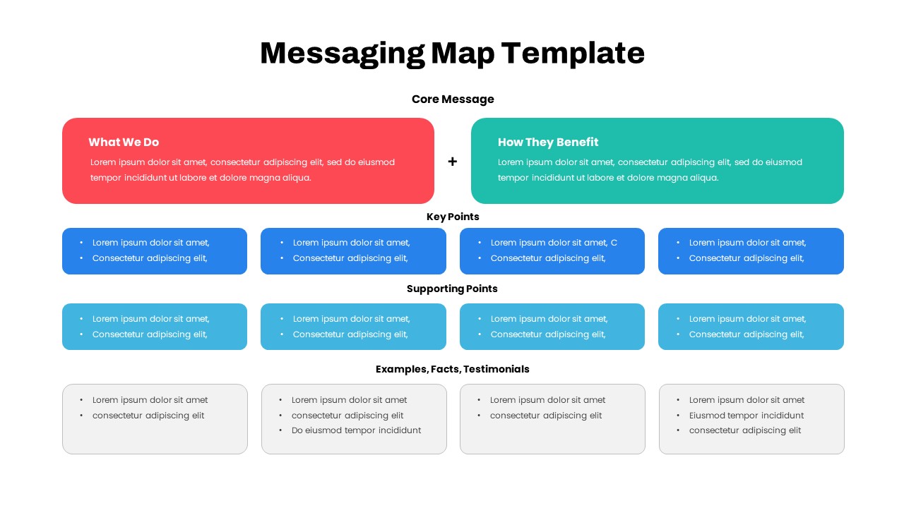
Comprehensive Messaging Map Framework Template for PowerPoint & Google Slides
Process
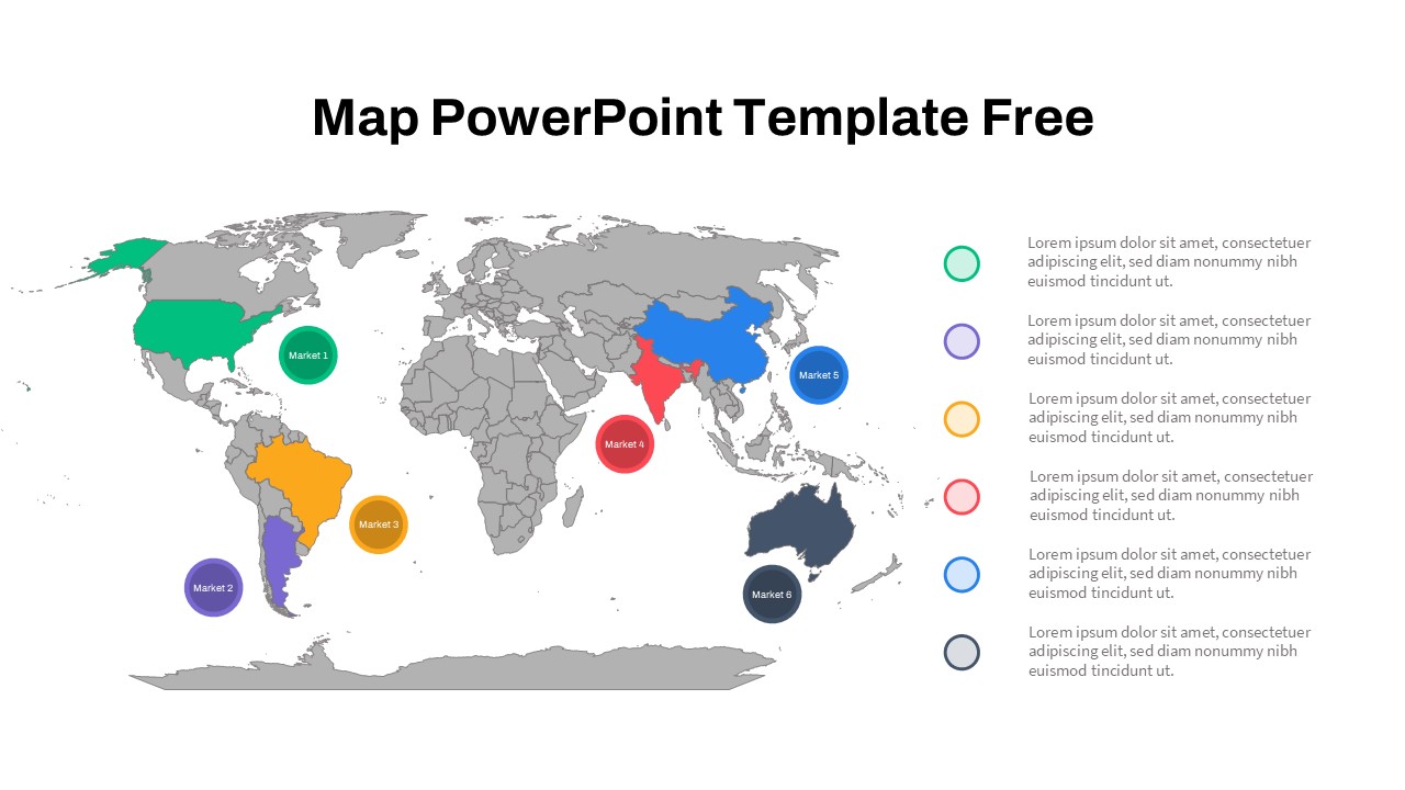
Free Global Market Distribution Map Template for PowerPoint & Google Slides
World Maps
Free
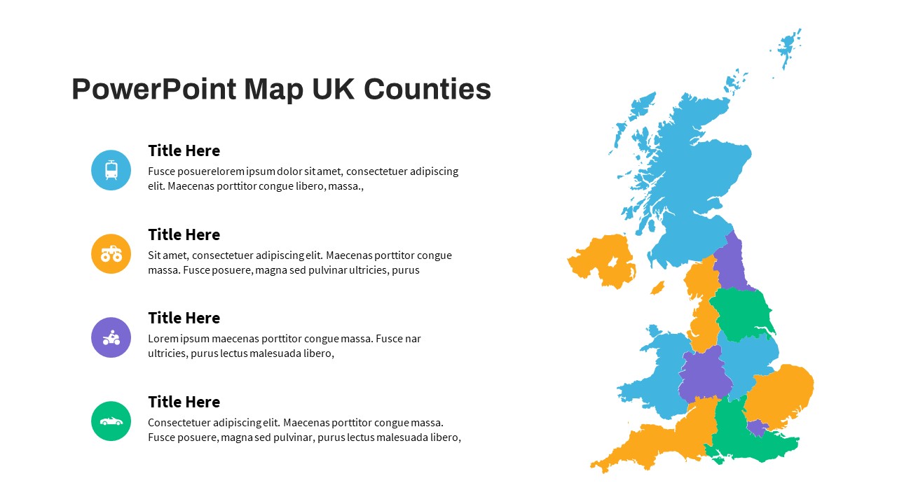
UK Counties Map Data Visualization Template for PowerPoint & Google Slides
World Maps
Comprehensive Customer Journey Map Template for PowerPoint & Google Slides
Customer Journey
Modern Custom Eight-Branch Mind Map Template for PowerPoint & Google Slides
Mind Maps
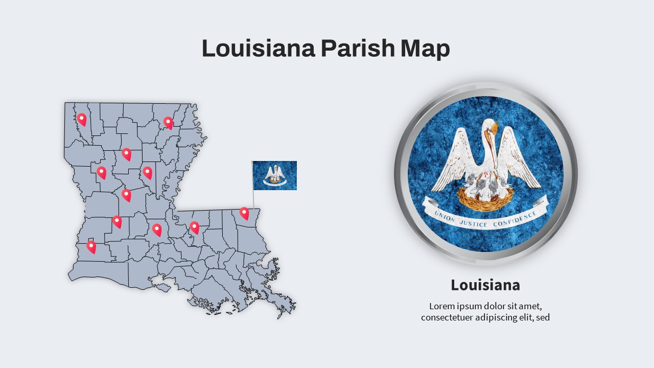
Louisiana Parish Map with Markers Template for PowerPoint & Google Slides
Maps
Colorful Multi-Branch Mind Map Slide Template for PowerPoint & Google Slides
Mind Maps
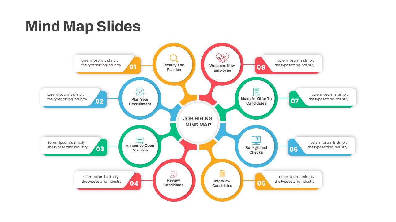
Eight-Step Job Hiring Mind Map Template for PowerPoint & Google Slides
Mind Maps
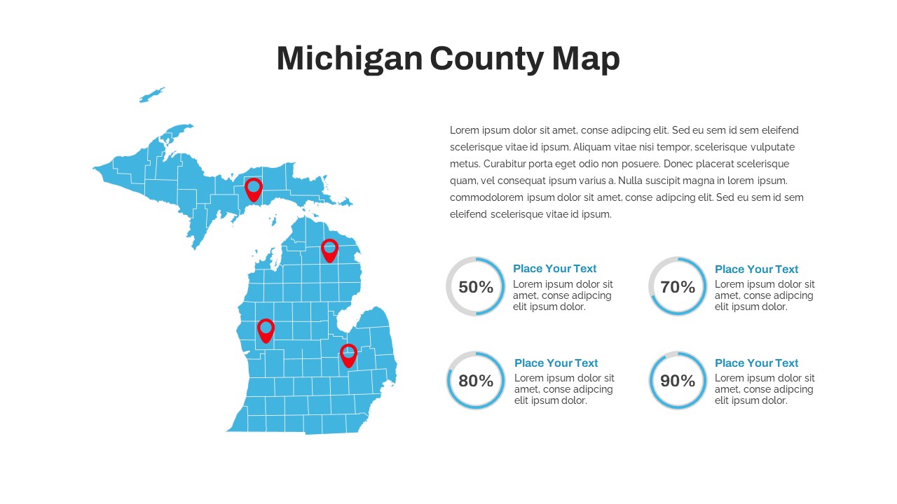
Michigan County Map with KPI Dashboard Template for PowerPoint & Google Slides
World Maps
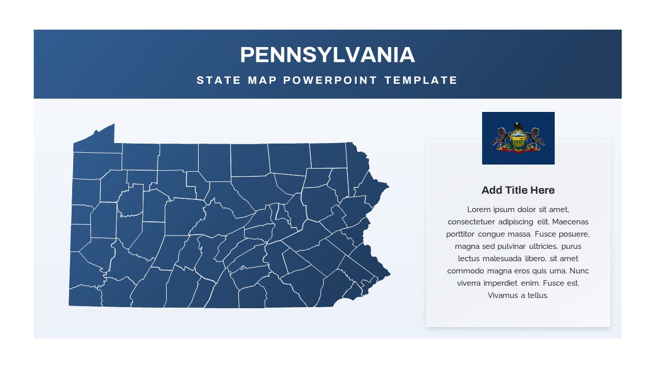
Pennsylvania State Map Diagram Template for PowerPoint & Google Slides
World Maps
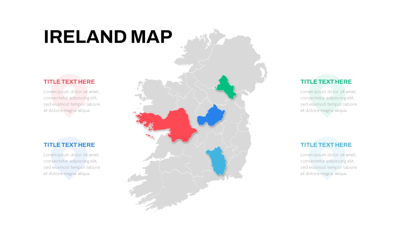
Editable Ireland Map Infographic Slide Template for PowerPoint & Google Slides
World Maps
Free
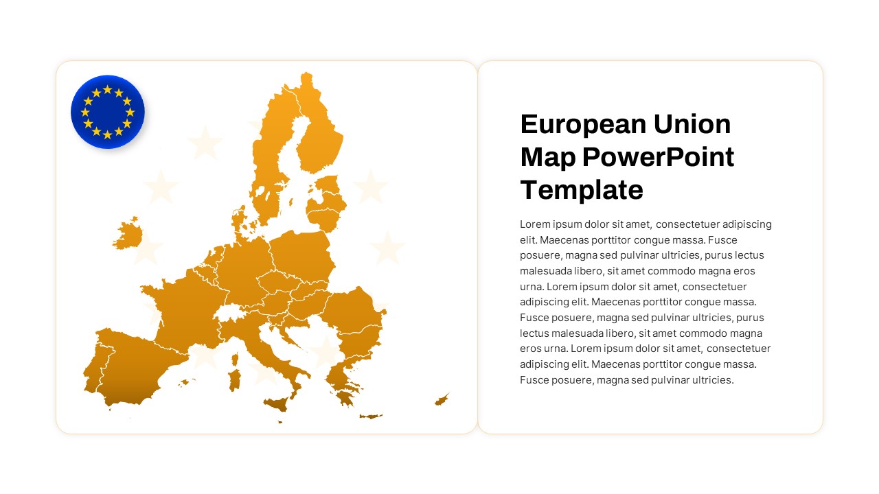
European Union Map Infographic Template for PowerPoint & Google Slides
World Maps
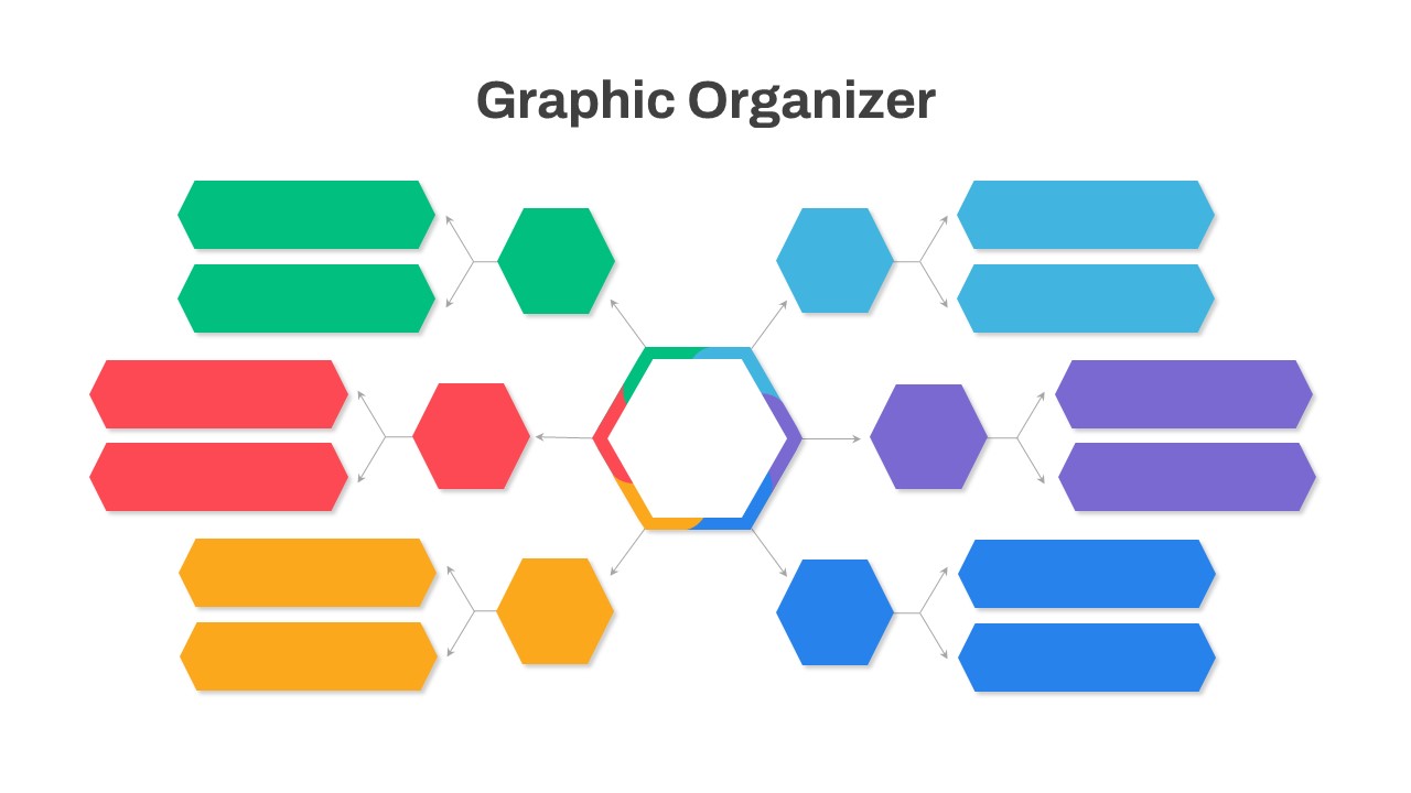
Graphic Organizer & Double Bubble Map Template for PowerPoint & Google Slides
Maps
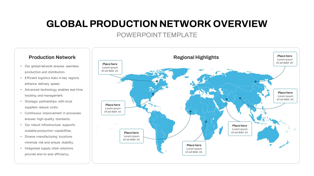
Global Production Network Overview Map Template for PowerPoint & Google Slides
World Maps
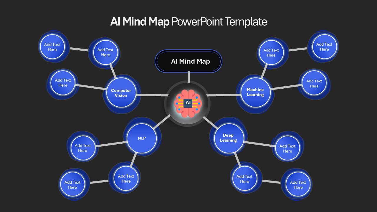
AI Mind Map & Hub-and-Spoke Diagram Template for PowerPoint & Google Slides
Mind Maps
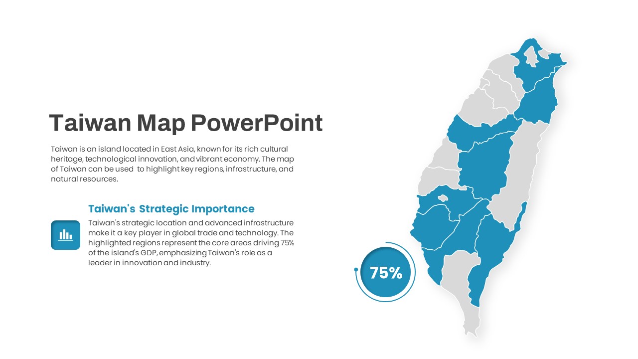
Interactive Taiwan Map Highlight Template for PowerPoint & Google Slides
World Maps
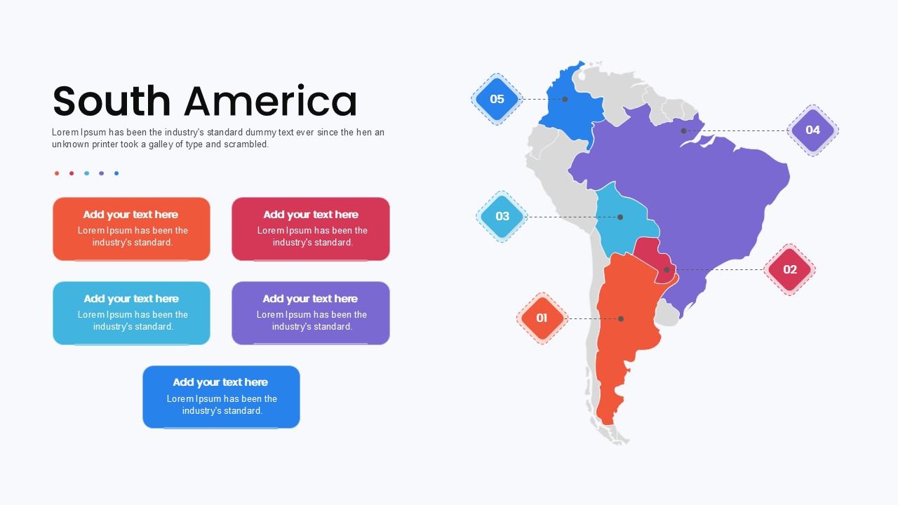
South America Map template for PowerPoint & Google Slides
Maps
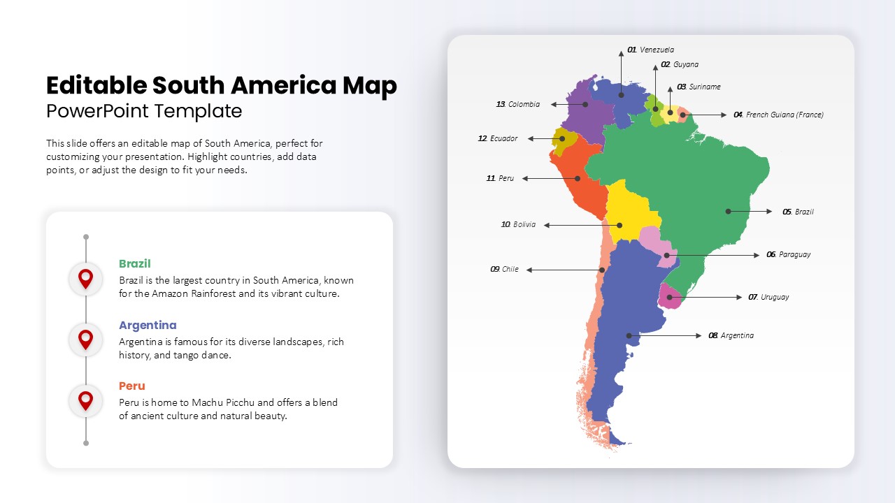
Editable South America Map Diagram Template for PowerPoint & Google Slides
Maps
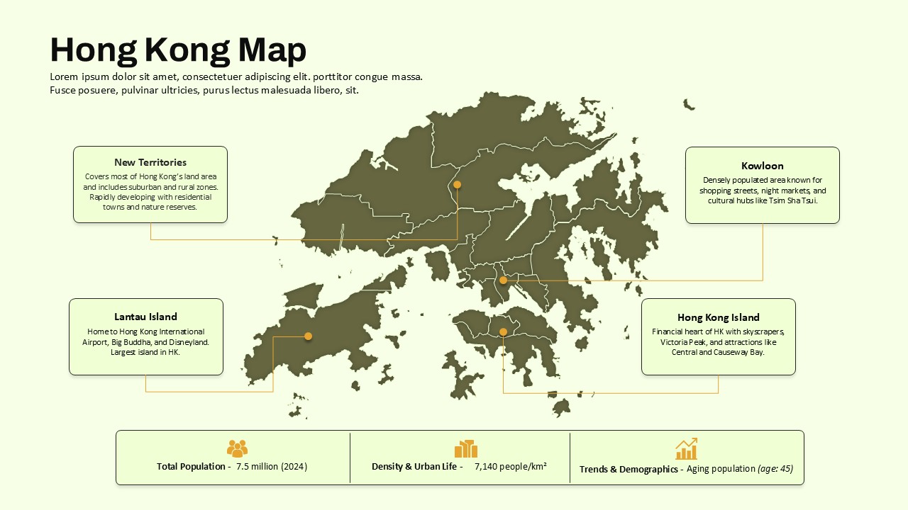
Hong Kong Geographic Map Infographic Template for PowerPoint & Google Slides
World Maps
Employee Journey Map with Stages template for PowerPoint & Google Slides
Recruitment
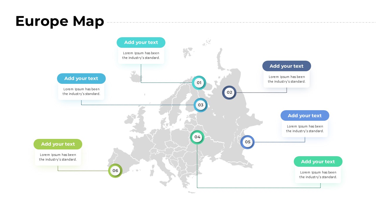
Europe Map with Six Editable Points Template for PowerPoint & Google Slides
World Maps
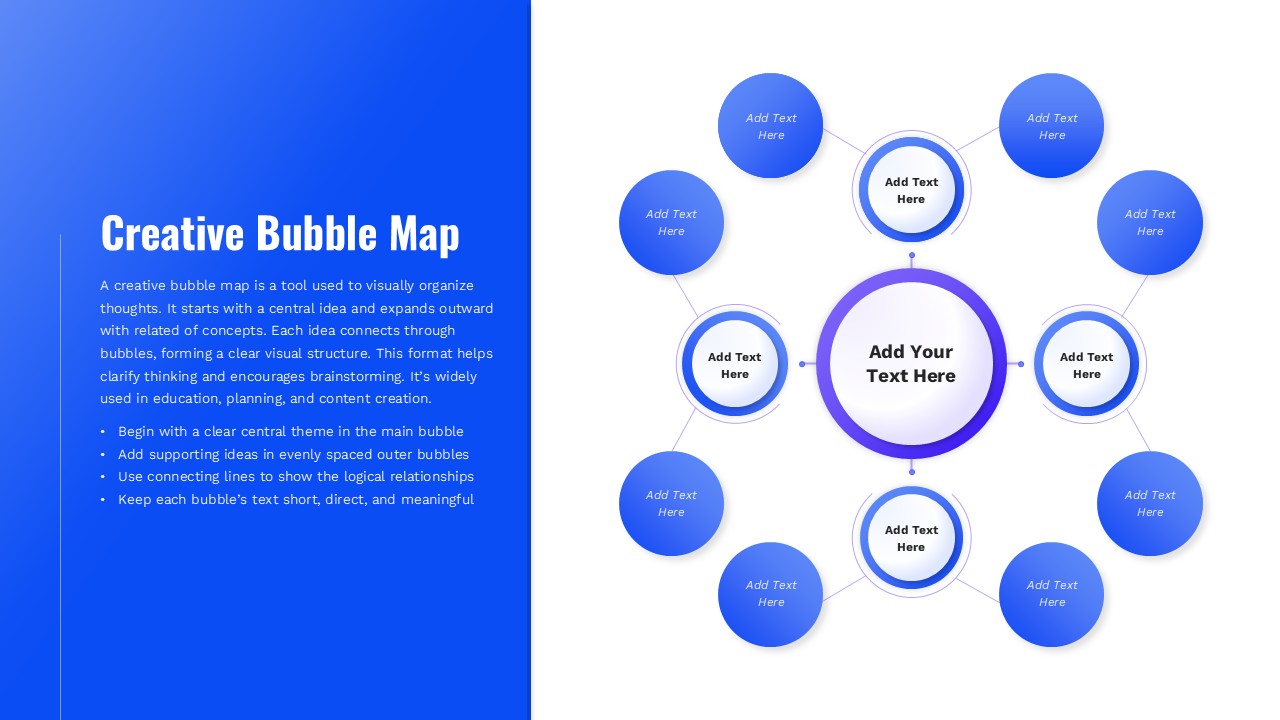
Creative Bubble Mind Map Template for PowerPoint & Google Slides
Mind Maps