Isometric Map Analysis Slide Template for PowerPoint & Google Slides
Isometric Map Presentation Template for PowerPoint & Google Slides
Presenting environmental analysis, geographic land-use studies, or regional demographic data requires a dynamic visual layout that brings spatial information to life. Standard flat maps and plain text tables often fail to capture the depth of geographic insights, making it difficult for audiences to engage with location-based research. Using a dedicated isometric map template provides urban planners, environmental researchers, and market analysts with a modern 3D framework to present regional statistics and spatial trends side by side.
Key Visual Features
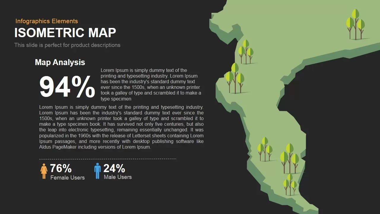
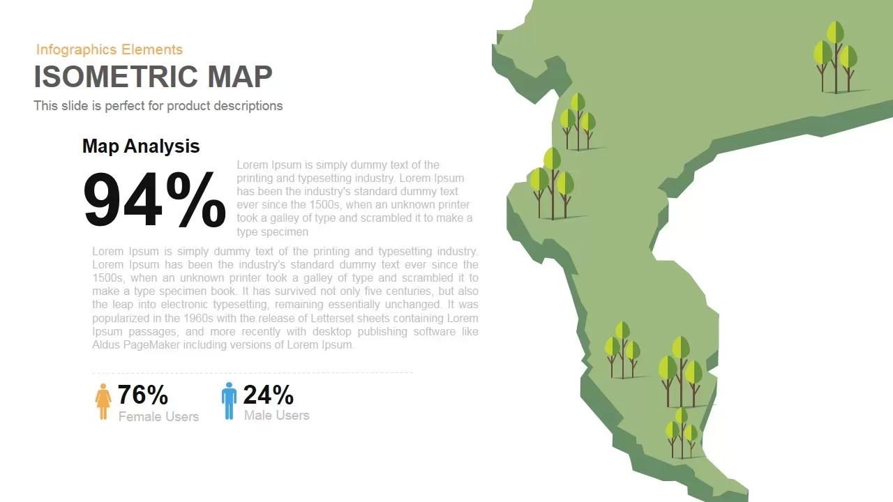
- 3D Isometric Landmass Illustration: Occupying the right side of the canvas, a green 3D terrain graphic populated with stylized vector trees provides an engaging visual anchor for geographic and environmental topics.
- Prominent Metric Callout: The left panel features a massive 94% statistical focus area, giving presenters immediate impact for primary data findings or land-coverage percentages.
- Demographic User Breakdown: A dedicated bottom section incorporates gender icons paired with distinct percentages (76% Female Users / 24% Male Users) for clear audience profiling.
- Dark Contrast Background: A sleek charcoal canvas enhances visual clarity, allowing bright white typography and green vector graphics to pop effectively during live presentations.
Best Use Cases
- Environmental & Forestry Audits: Present regional canopy coverage, land-use changes, or conservation milestones to executive boards and environmental committees.
- Geographic Target Market Studies: Map regional consumer engagement, demographic splits, and market penetration stats during marketing alignment sessions.
- Urban Planning & Development Briefings: Outline spatial zoning updates, green initiative targets, and regional demographic distributions for public sector reviews.
Fully Customizing This Template
Adapting this isometric slide to match your project guidelines takes minimal effort across PowerPoint and Google Slides. Every 3D vector map shape, tree graphic element, text field, and percentage block remains a fully editable component. You can easily adjust color palettes to align with corporate branding, modify statistical values, and update descriptive paragraphs in just a few quick clicks.
Login to download this file

Item ID
SB00105


Related Templates

Smart Bank Isometric PowerPoint Template for PowerPoint & Google Slides
Information Technology
Isometric Five-Stage Process Flow Template for PowerPoint & Google Slides
Process
Isometric Block Infographic Steps Template for PowerPoint & Google Slides
Process
Creative Isometric Organization Chart PowerPoint Template
Org Chart
Isometric Business People Organization Chart Template for PowerPoint
Org Chart
Four Box Isometric Shape Template
Process

4 Step Process Isometric Infographic Template
Process
Heat Map Infographic Template For Risk Assessment and Priority Analysis
Comparison Chart
Mind map PowerPoint Template and Google Slide Slide in Diamond Shape
Mind Maps

Angola Provinces Map Slide Pack Template for PowerPoint & Google Slides
World Maps
Cameroon Map with Regions Slide Pack Template for PowerPoint & Google Slides
World Maps
Egypt Regional Map Slide Pack Template for PowerPoint & Google Slides
World Maps
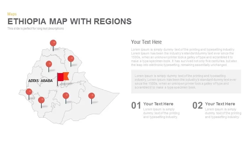
Ethiopia Map with Regions Slide Pack Template for PowerPoint & Google Slides
World Maps
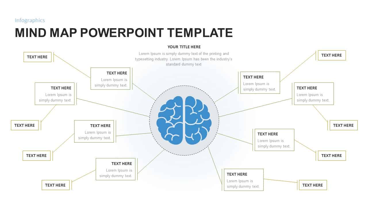
Mind Map Infographic Slide Template for PowerPoint & Google Slides
Mind Maps
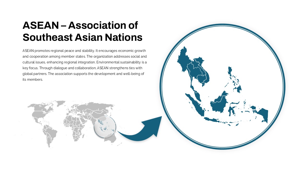
Professional ASEAN Region Zoom Map Slide Template for PowerPoint & Google Slides
World Maps
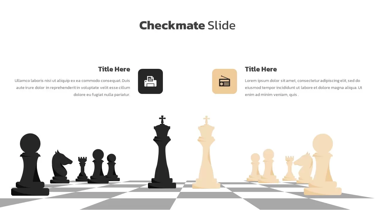
Checkmate Slide for Competitor Analysis Template for PowerPoint & Google Slides
Business
Social Media Analysis Metrics Slide Deck Template for PowerPoint & Google Slides
Digital Marketing
Failure Mode Effects Analysis (FMEA) Slide Template
Process
Feasibility Study Analysis Slide Template for PowerPoint & Google Slides
Business Strategy
SWOT Analysis Infographic Slide for PowerPoint & Google Slides
SWOT