Editable Ireland Map Infographic Slide Template for PowerPoint & Google Slides
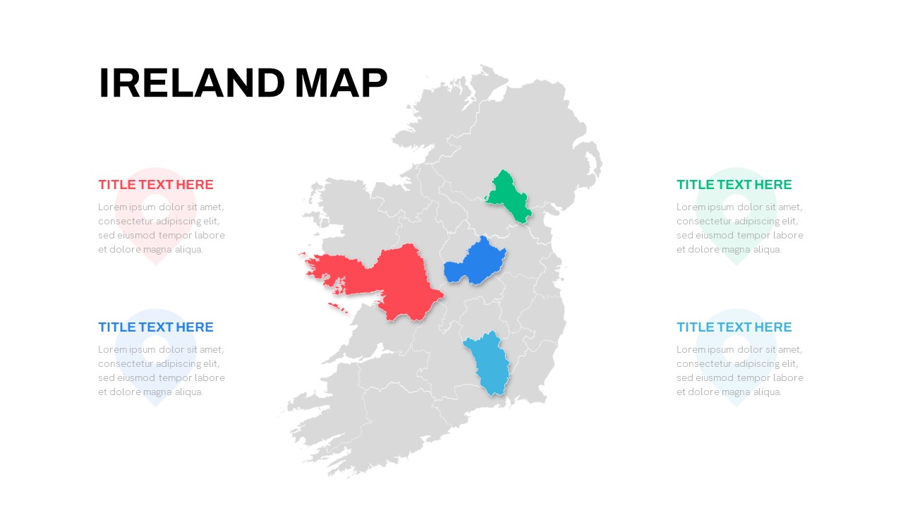

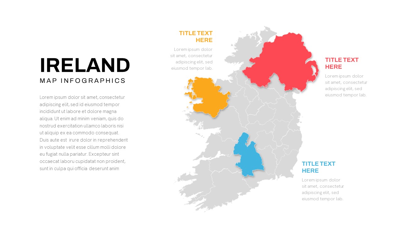

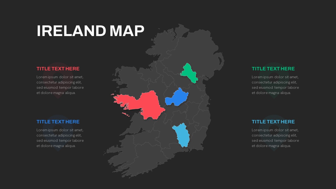
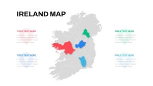


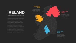

Leverage this Ireland map slide to illustrate geographic data, regional performance, and demographic insights with precision and visual clarity. The slide features a high-resolution outline of Ireland in neutral gray, with four key provinces—Connacht, Leinster, Munster, and Ulster—accentuated in vibrant red, blue, cyan, and green. Adjacent to each highlighted region are editable text callouts, each paired with a subtle watermark icon, allowing you to annotate metrics, regional sales figures, or location-based strategies. The bold “IRELAND MAP” title anchors the layout, ensuring immediate context, while the balanced white background and clean sans-serif typography keep the focus squarely on your content.
Built on master slides, this template empowers you to fully customize every visual element. Swap region colors to match your brand palette, adjust transparency levels, or replace default icons with your own. Move and resize callout shapes, alter font styles, and tweak grid alignments without losing slide integrity. The placeholder text and icons are easily replaceable, letting you inject audience-specific insights—whether you’re showcasing market penetration by county or mapping regional infrastructure projects. Each vector shape maintains crispness at any scale, ensuring that your map retains clarity on projector screens, printed materials, and mobile devices alike.
Ideal for strategic briefings and stakeholder presentations, this Ireland map slide streamlines regional analysis and storytelling. Duplicate and hide regions to focus on specific markets, export to PDF for handouts, or share editable PPTX and Google Slides links for collaborative workshops. Use it to visualize sales territories, logistical networks, tourism hotspots, or academic research findings. Its versatile format adapts to enterprise reports, government planning sessions, educational modules, and investor roadshows, making it a go-to asset for any project requiring geographic emphasis.
Who is it for
Business analysts, sales managers, marketing teams, consultants, educators, and government planners will benefit from this Ireland map slide when presenting regional data, market segmentation, or location-based strategies.
Other Uses
Repurpose this slide for logistics mapping, sales territory planning, demographic analysis, tourism presentations, academic geography lessons, event planning, network infrastructure overviews, customer distribution mapping, risk management, or resource allocation. Adjust callouts to highlight key locations, annotate project sites, or visualize survey results.
Login to download this file

Item ID
SB04244
Related Templates

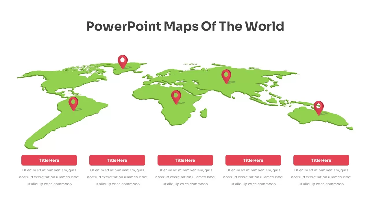
Fully Editable World Map Infographic Template for PowerPoint & Google Slides
World Maps
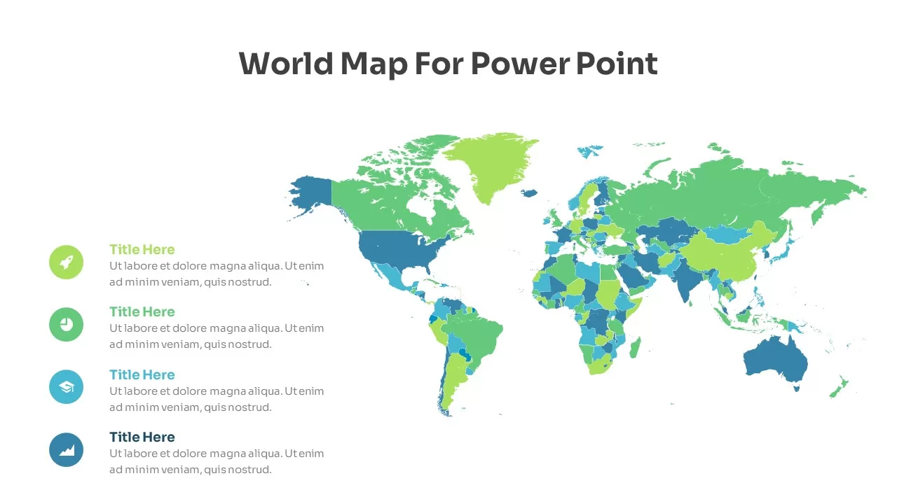
Editable World Map Callout Infographic Template for PowerPoint & Google Slides
World Maps
Editable World Map Callout Infographic Template for PowerPoint & Google Slides
World Maps
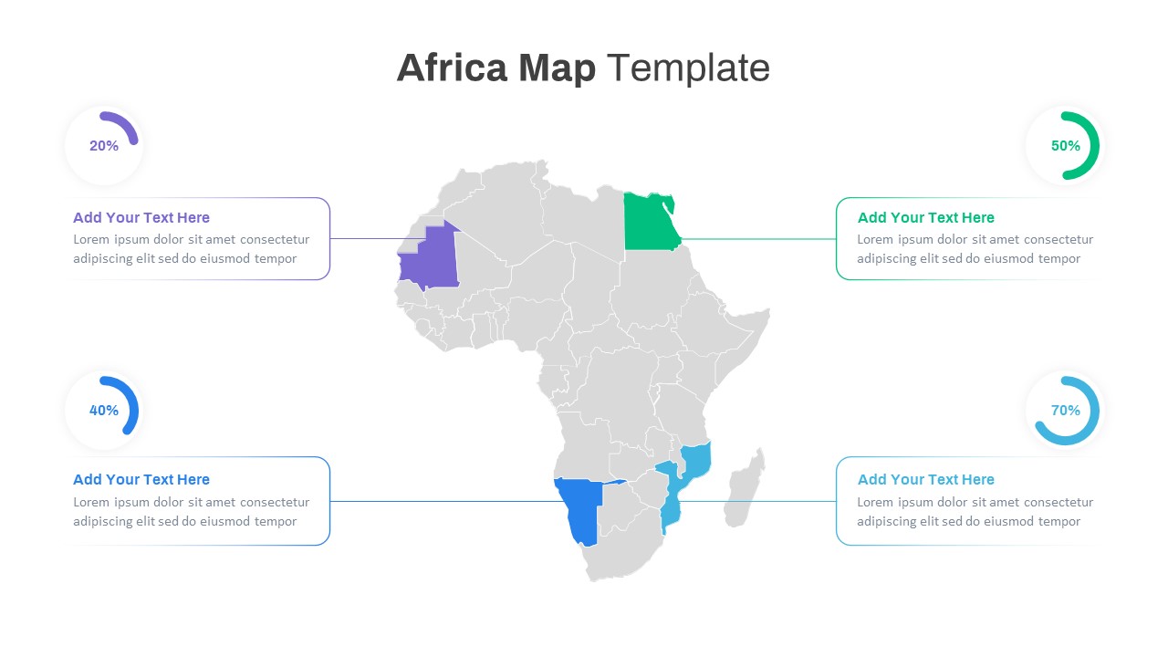
Editable Africa Map Infographic Data Template for PowerPoint & Google Slides
World Maps
Editable Colombia Map PowerPoint Template for PowerPoint & Google Slides
Business Models

Editable Tajikistan Provinces Map Pack Template for PowerPoint & Google Slides
Maps
Free Editable Saudi Arabia Map Template for PowerPoint & Google Slides
World Maps
Free Editable U.S. Map with Regional Metrics Template for PowerPoint & Google Slides
World Maps
Free
Editable South America Map Diagram Template for PowerPoint & Google Slides
Maps
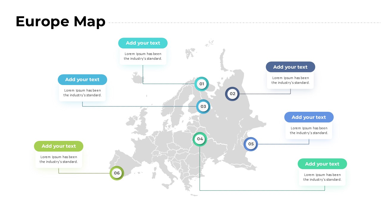
Europe Map with Six Editable Points Template for PowerPoint & Google Slides
World Maps
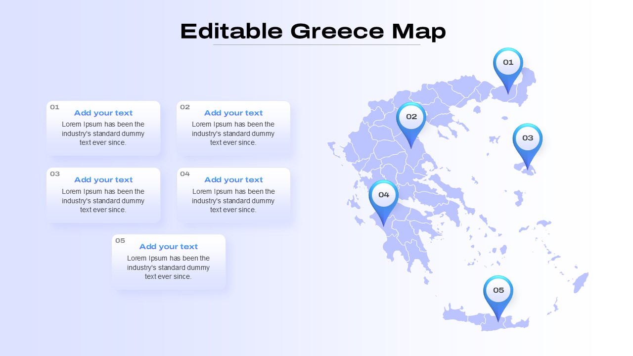
Editable Greece Map for PowerPoint & Google Slides
Maps
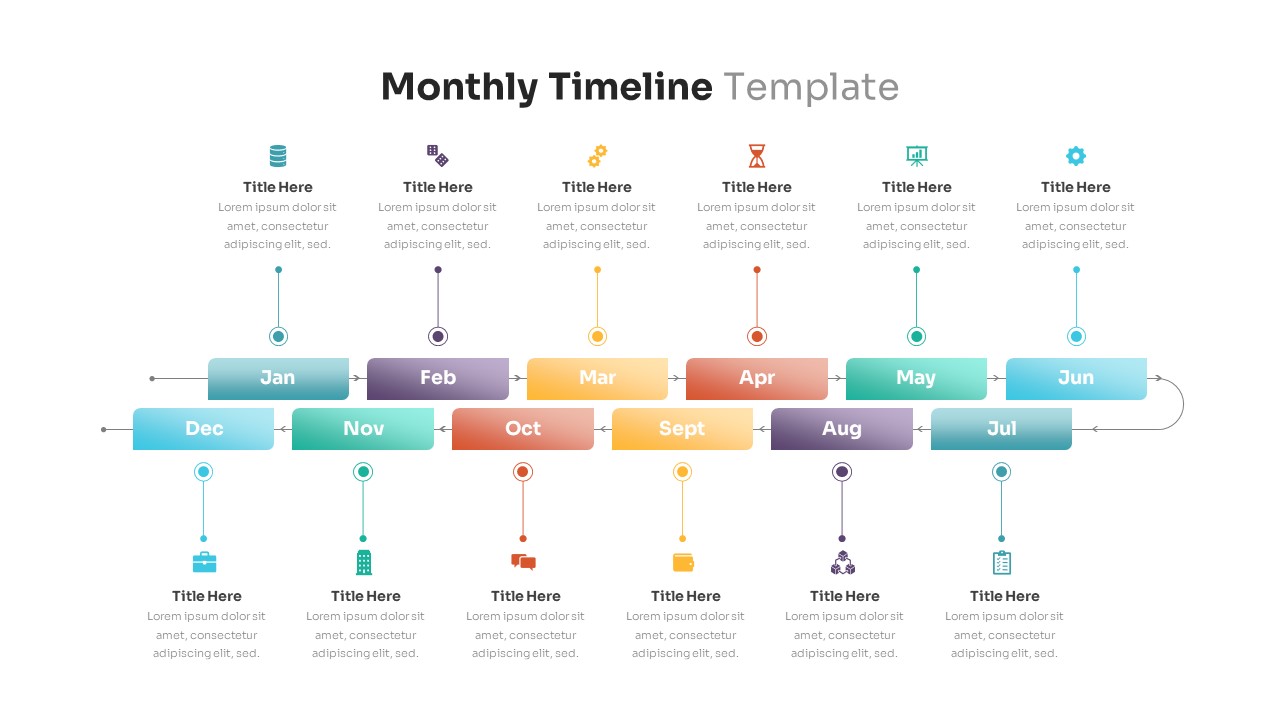
Editable Monthly Timeline Infographic Template for PowerPoint & Google Slides
Timeline
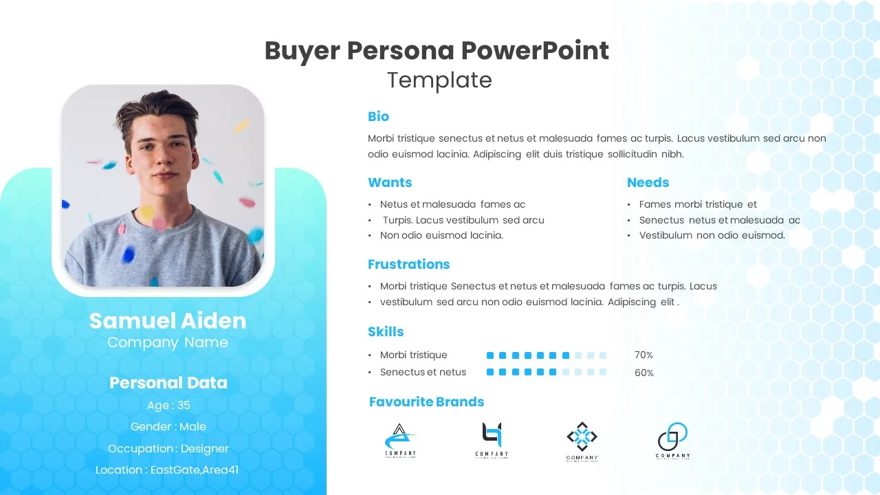
Editable Buyer Persona Profile Slide Template for PowerPoint & Google Slides
Customer Journey
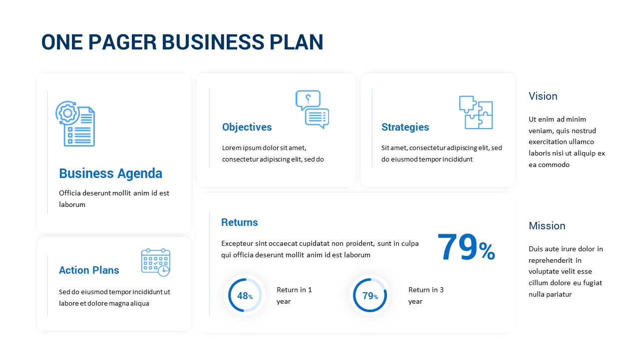
Editable One-Pager Business Plan Slide Template for PowerPoint & Google Slides
Business Plan
Free Editable Simple Column Chart Slide Template for PowerPoint & Google Slides
Bar/Column
Free
Free Editable Multi-Step Ribbon Agenda Slide Template for PowerPoint & Google Slides
Agenda
Free
Editable Colorful Daily Agenda Slides Template for PowerPoint & Google Slides
Agenda

Fully Editable Gantt Chart Timeline template for PowerPoint & Google Slides
Gantt Chart
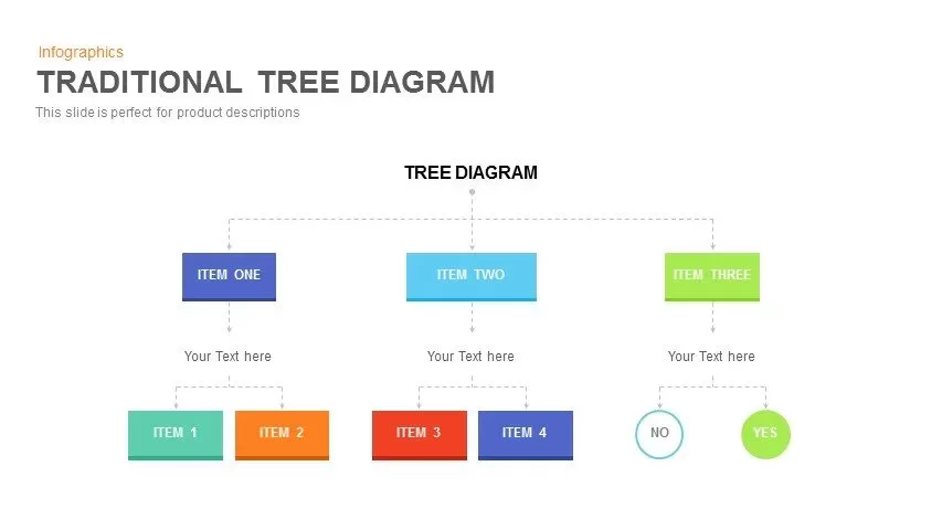
Editable Hierarchical Tree Diagram Template for PowerPoint & Google Slides
Decision Tree
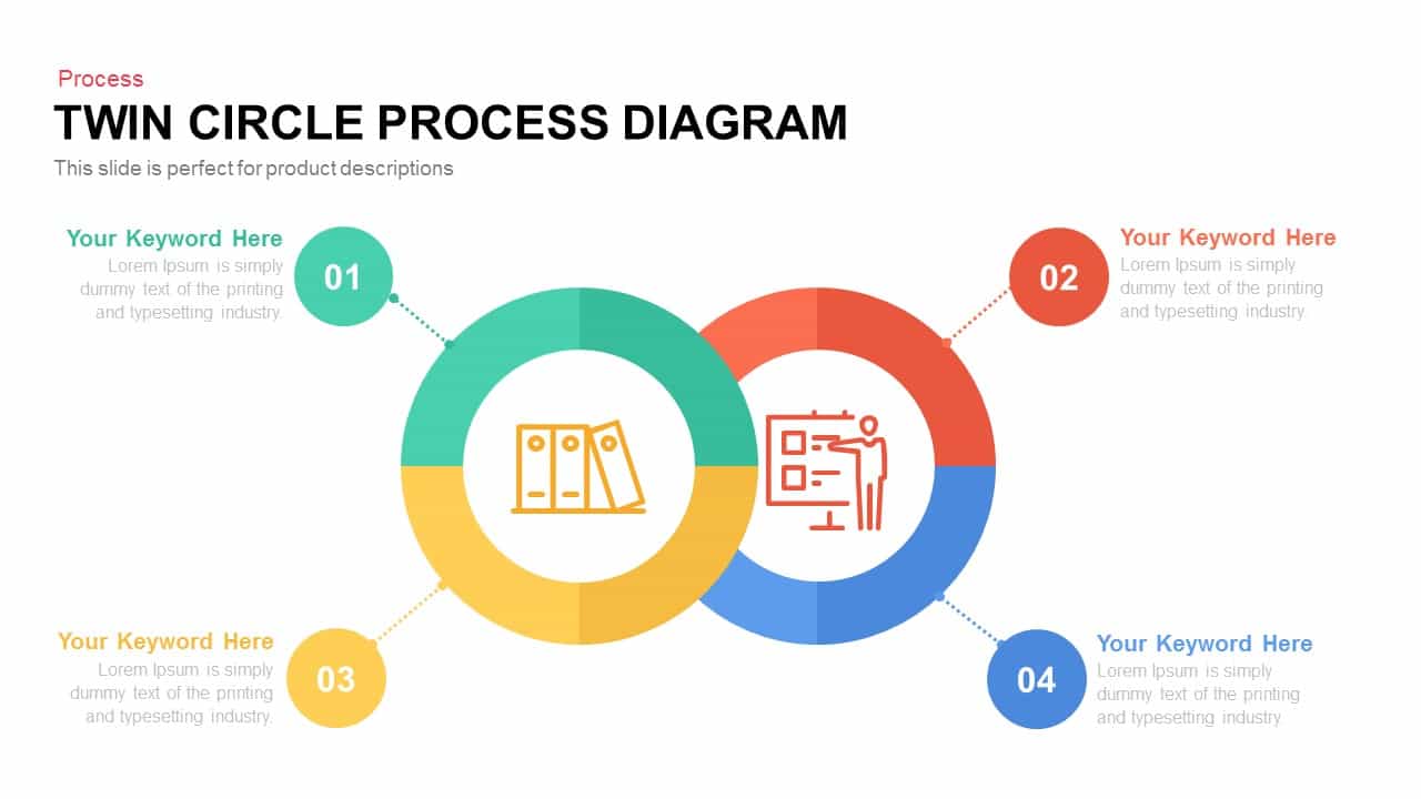
Editable Twin Circle Process Diagram Template for PowerPoint & Google Slides
Process
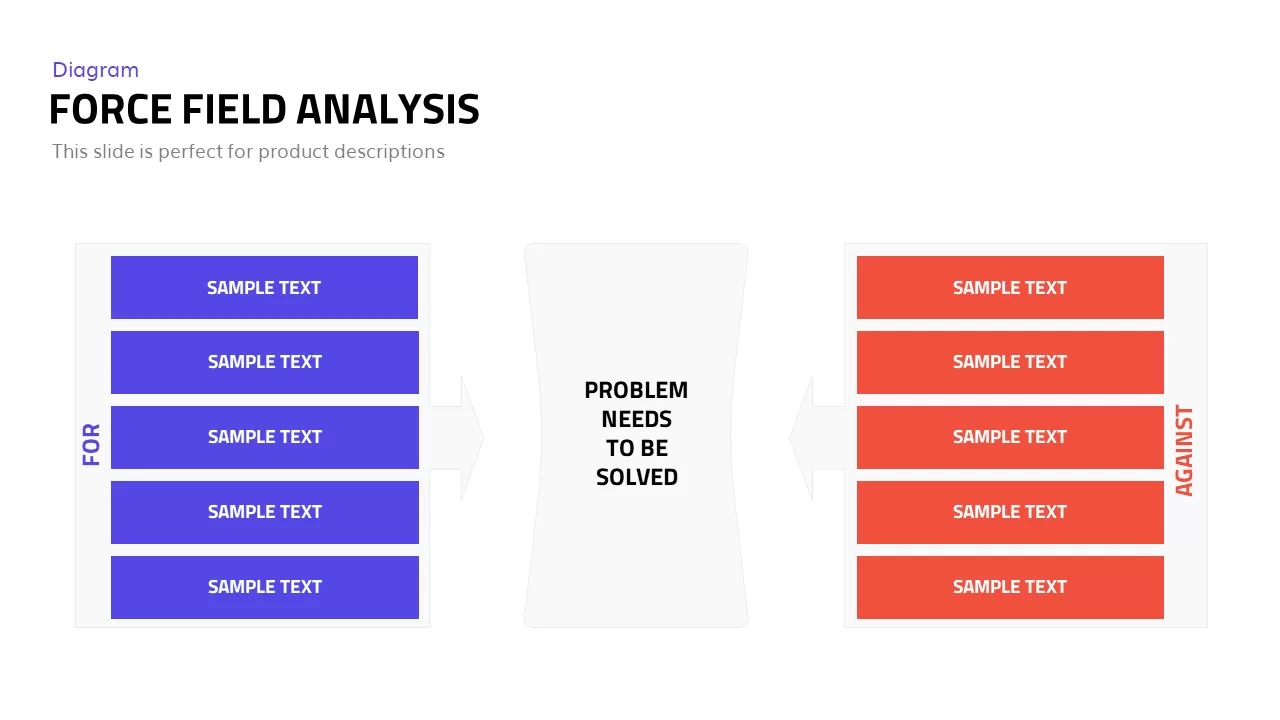
Editable Force Field Analysis Diagram Template for PowerPoint & Google Slides
Business Plan
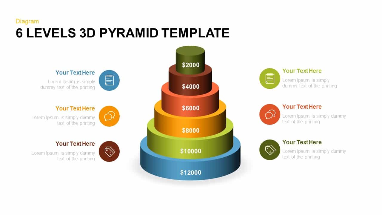
Editable Six-Level 3D Pyramid Diagram Template for PowerPoint & Google Slides
Pyramid
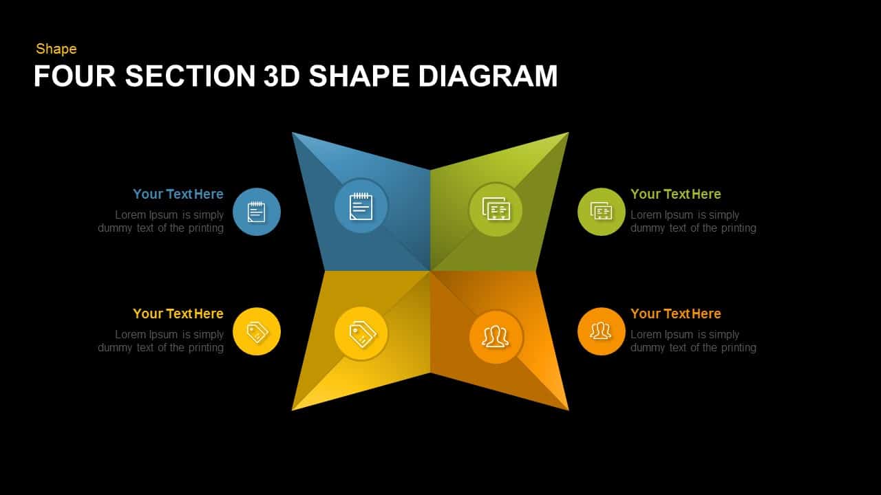
Editable Four-Section 3D Shape Diagram Template for PowerPoint & Google Slides
Comparison
Editable Four-Point Timeline Agenda Template for PowerPoint & Google Slides
Agenda
Editable Six-Step Bubble Process Diagram Template for PowerPoint & Google Slides
Process
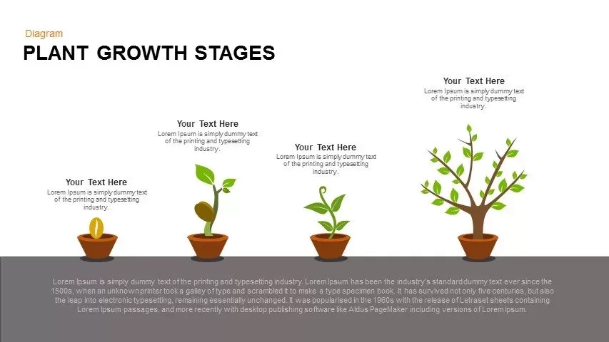
Editable Plant Growth Stages Diagram Template for PowerPoint & Google Slides
Process
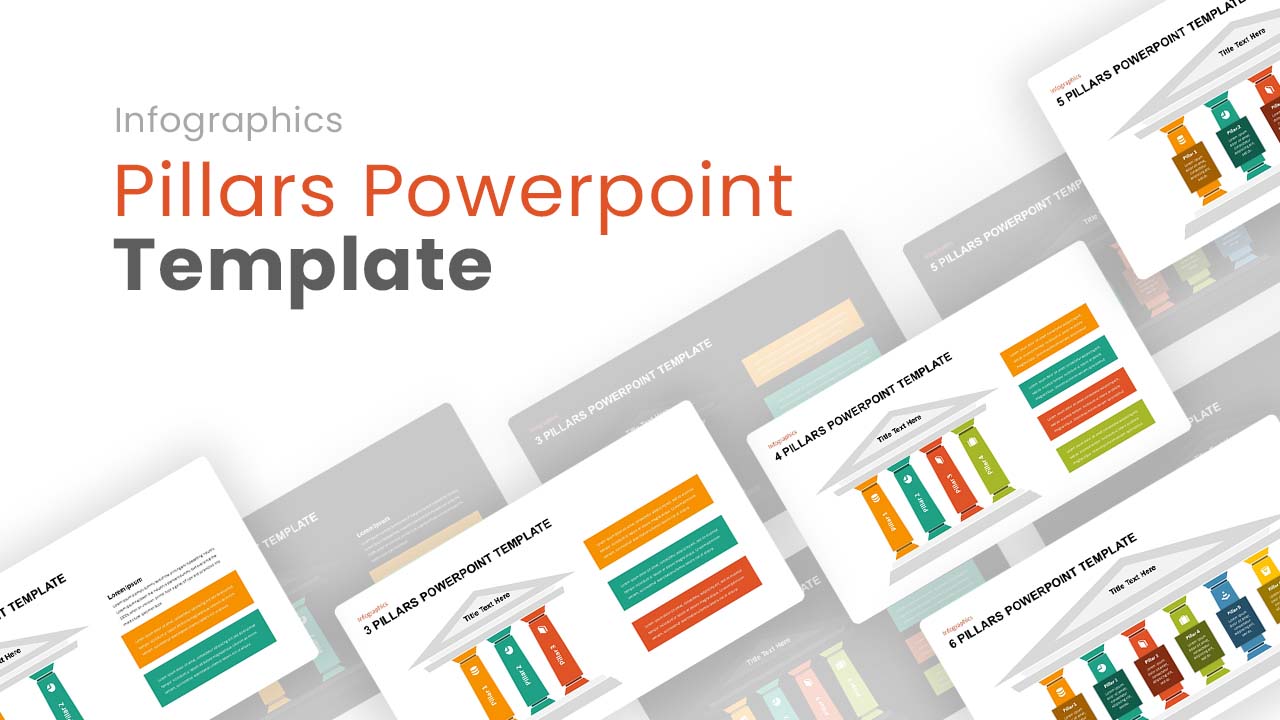
Editable Pillars Infographics Pack Template for PowerPoint & Google Slides
Infographics

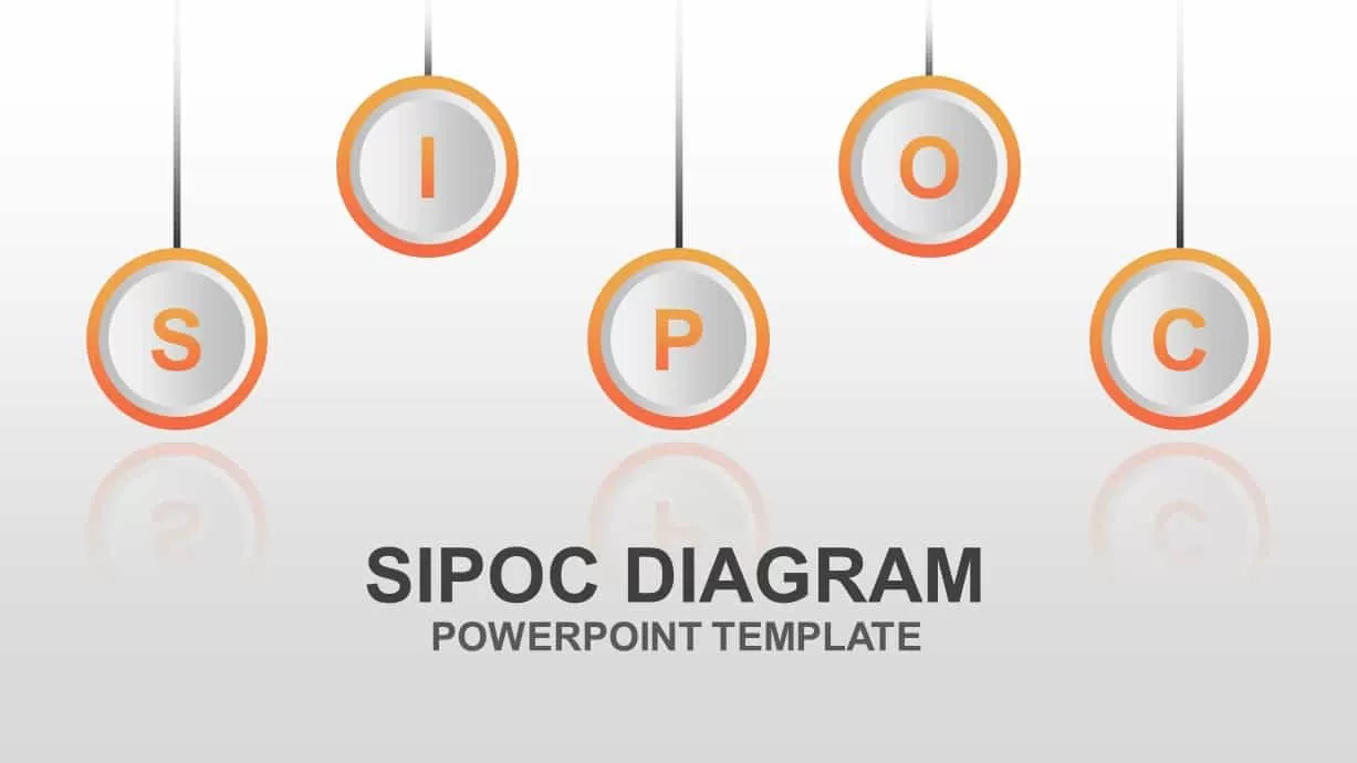
Editable SIPOC Process Diagram Deck Template for PowerPoint & Google Slides
Pitch Deck
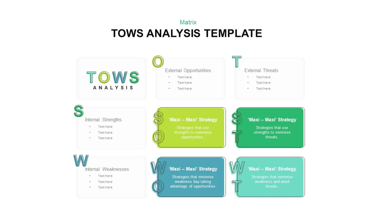
Editable Four-Quadrant TOWS Matrix Template for PowerPoint & Google Slides
Opportunities Challenges
Free Editable Check Box Icon Set Presentation Template for PowerPoint & Google Slides
Infographics
Free

Editable 2024 Calendar Yearly Overview Template for PowerPoint & Google Slides
Decks
Weekly Social Media Calendar Editable Template for PowerPoint & Google Slides
Digital Marketing
Professional Editable 6 Month Timeline Template for PowerPoint & Google Slides
Timeline
Editable C-Suite Organizational Chart Template for PowerPoint & Google Slides
Org Chart
Editable Sales Pitch Deck Presentation Template for PowerPoint & Google Slides
Pitch Deck
Editable Multi-Series Peak Line Chart Template for PowerPoint & Google Slides
Comparison Chart
Arrow Types Shape Library Editable Template for PowerPoint & Google Slides
Arrow
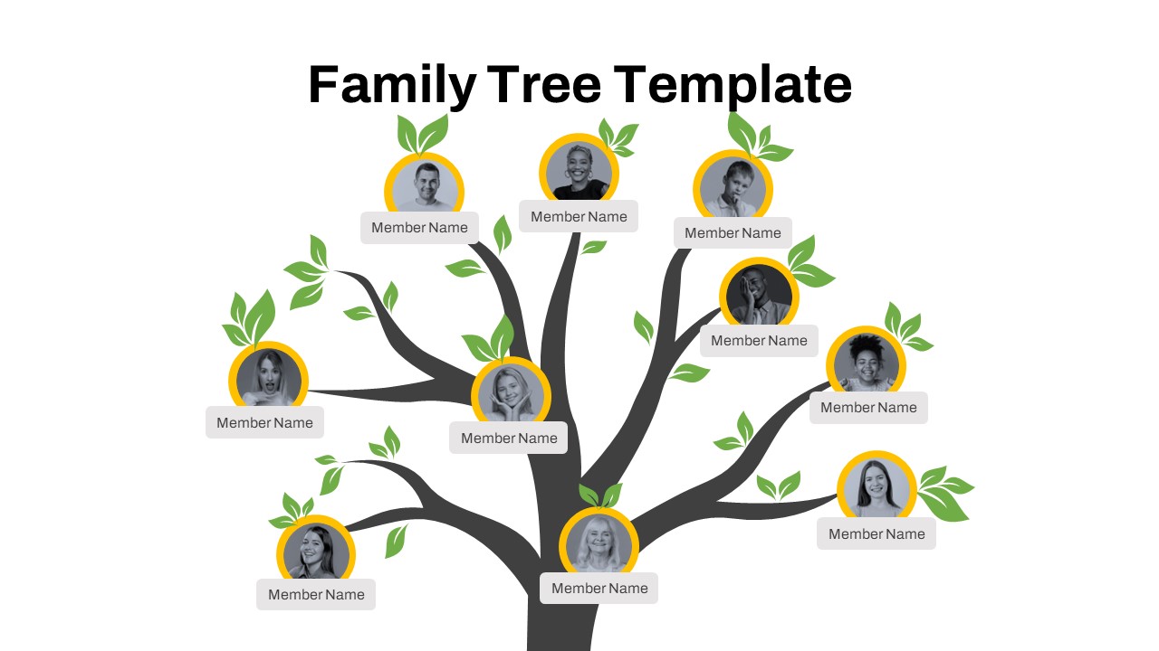
Free Editable Family Tree Genealogy Diagram Template for PowerPoint & Google Slides
Org Chart
Free
Fully Editable Retro Vintage Theme Deck Template for PowerPoint & Google Slides
Company Profile
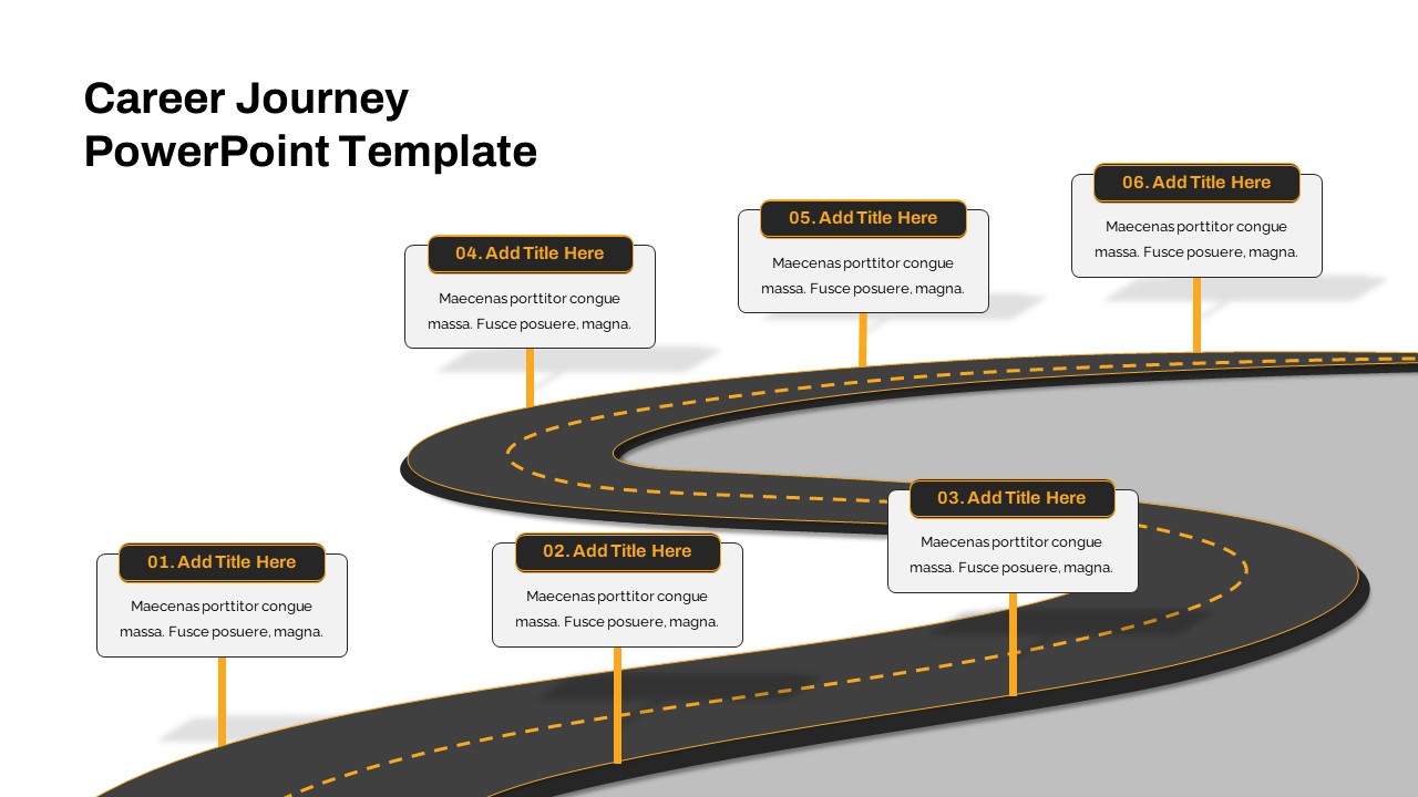
Fully Editable Career Journey Roadmap Template for PowerPoint & Google Slides
Customer Journey
Free
Fully Editable Watercolor Theme Deck Template for PowerPoint & Google Slides
Pitch Deck
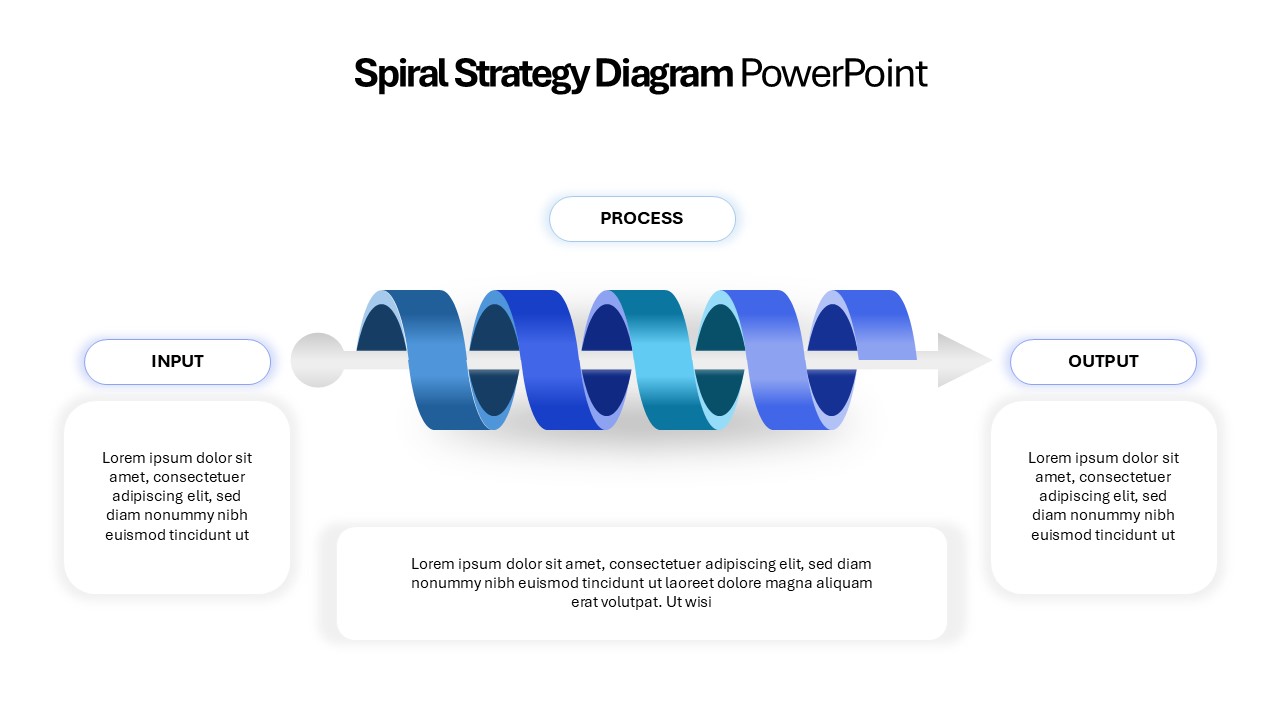
Editable 3D Spiral Strategy Diagram Template for PowerPoint & Google Slides
Process
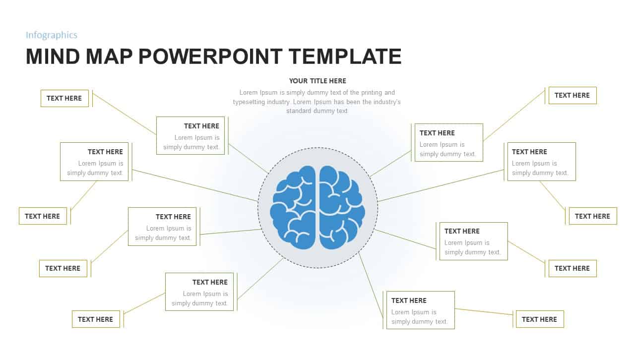
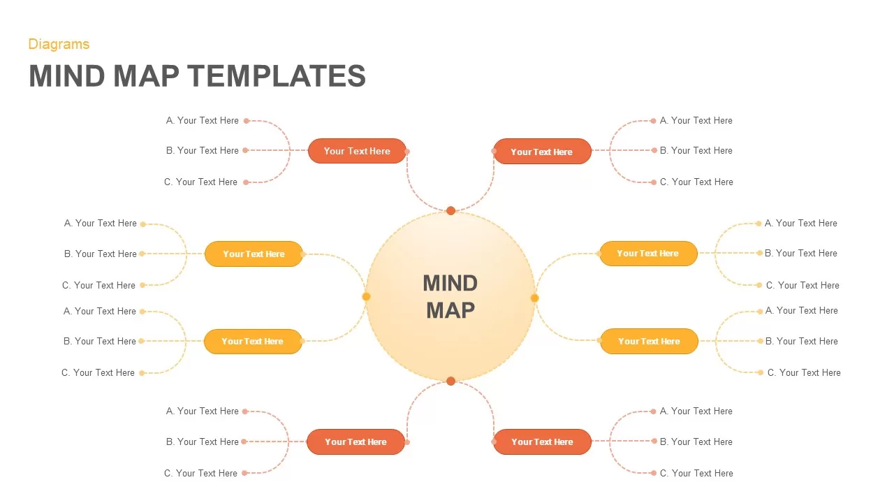
Mind Map Infographic Slide Template for PowerPoint & Google Slides
Mind Maps
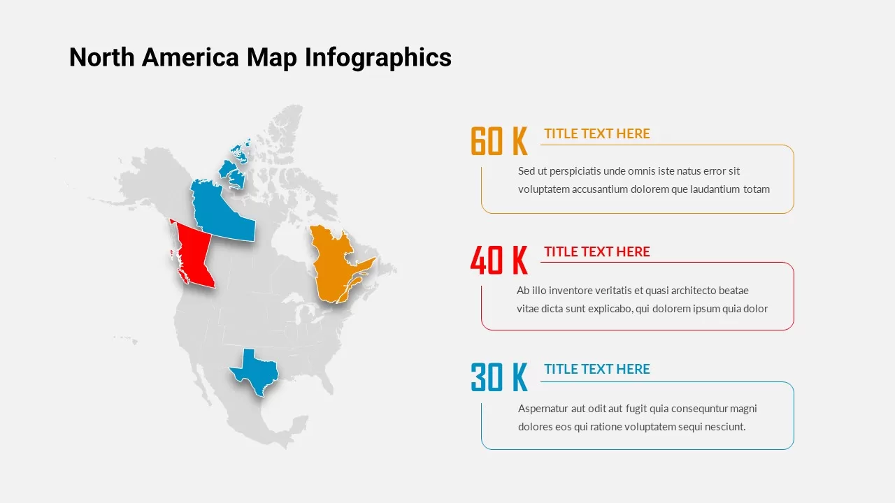
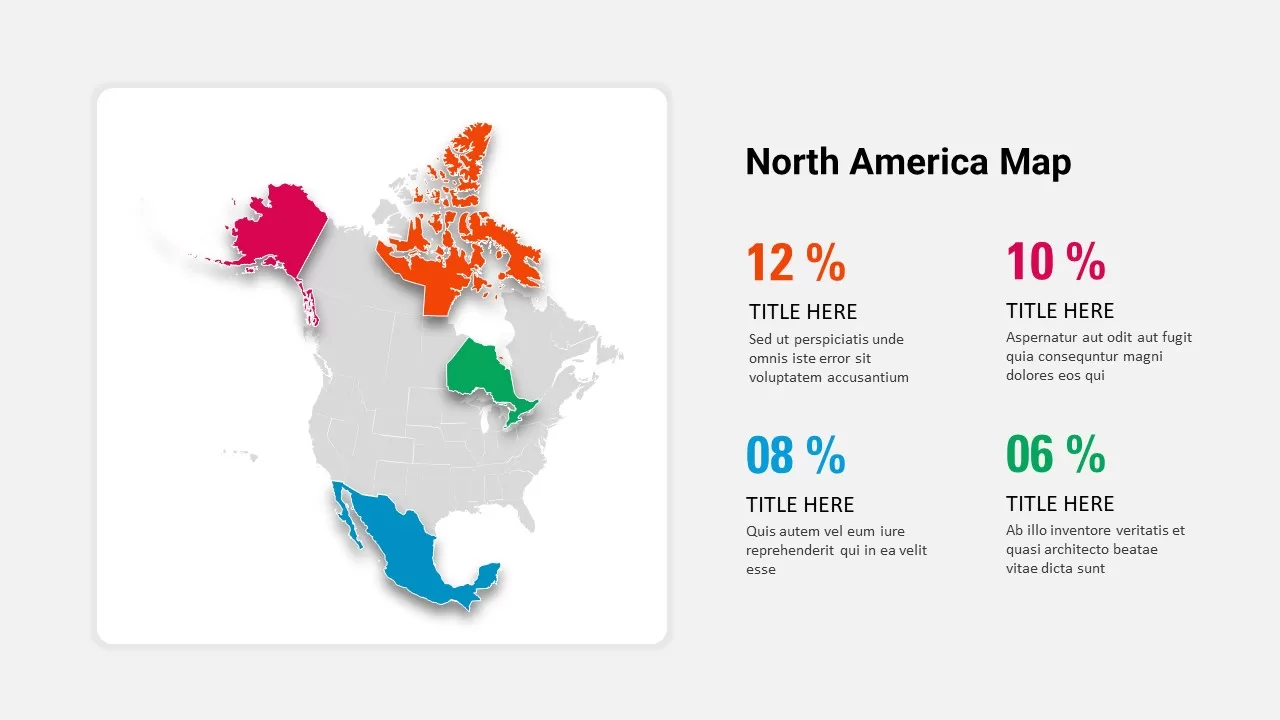
North America Map Infographic Slide Template for PowerPoint & Google Slides
World Maps
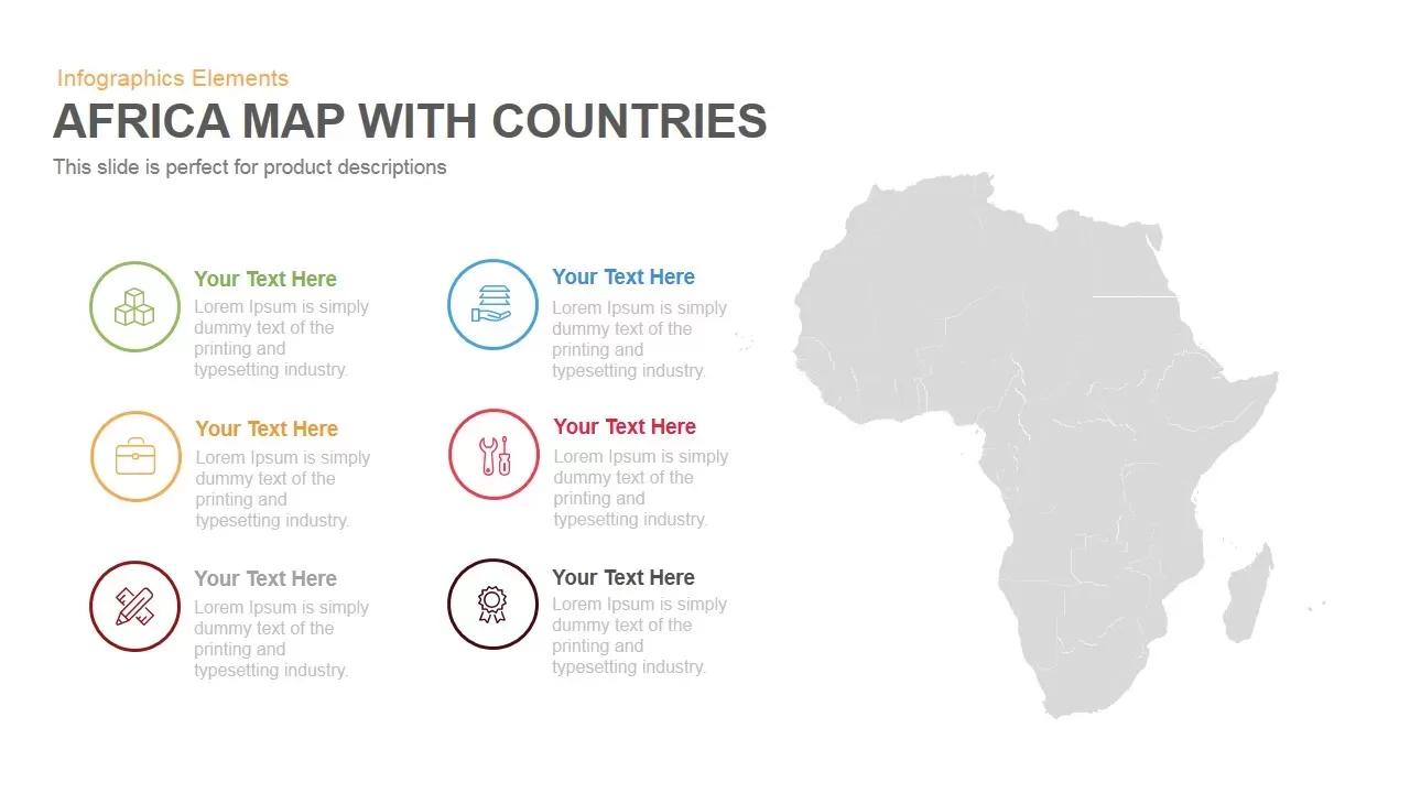
Africa Country Map Infographic Template for PowerPoint & Google Slides
World Maps
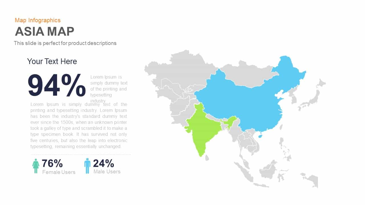
Asia Map Infographic with Demographics template for PowerPoint & Google Slides
World Maps
Curved Road Map Timeline Infographic Template for PowerPoint & Google Slides
Roadmap
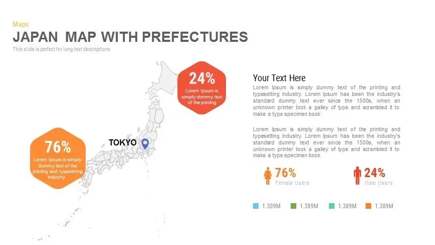
Japan Province Map Infographic Template for PowerPoint & Google Slides
Maps
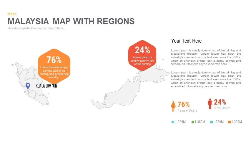
Malaysia Regional Map Infographic Template for PowerPoint & Google Slides
Maps
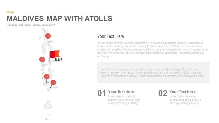
Maldives Map Infographic Template for PowerPoint & Google Slides
Maps
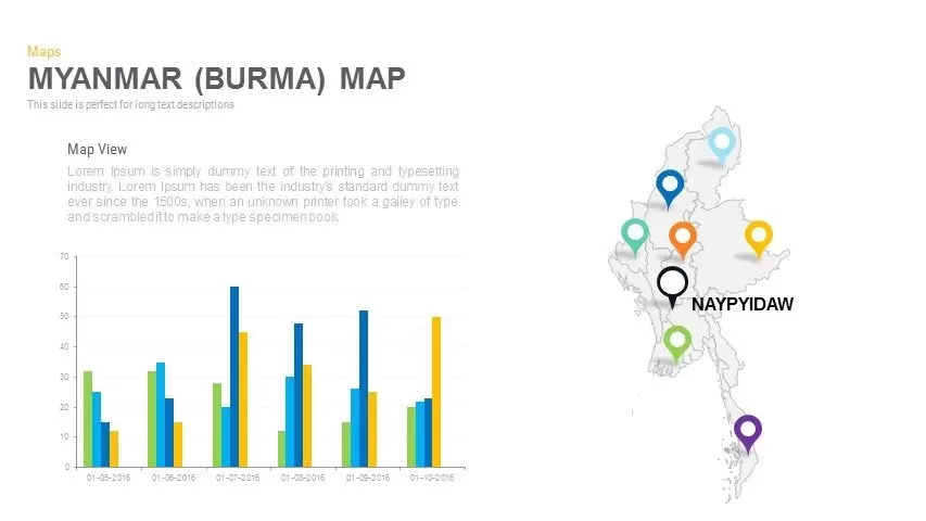
Myanmar (Burma) Provincial Map Infographic Template for PowerPoint & Google Slides
Maps
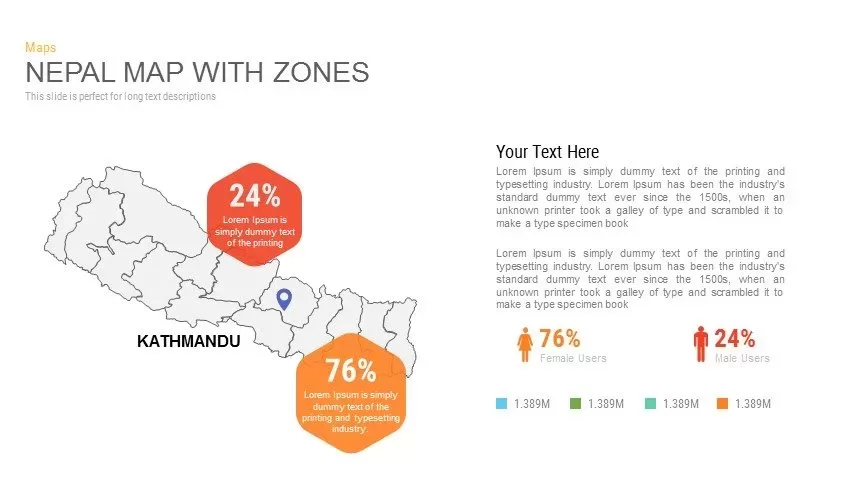
Nepal Map with Zones Infographic Template for PowerPoint & Google Slides
Maps
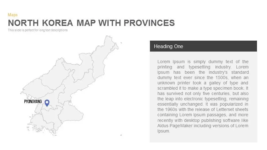
North Korea Map with Provinces Infographic Pack Template for PowerPoint & Google Slides
Maps
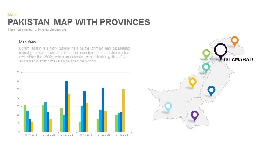
Pakistan Provinces Map Infographic Pack Template for PowerPoint & Google Slides
Maps
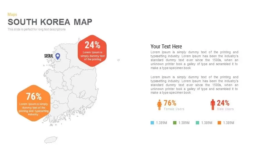
Infographic South Korea Map Template for PowerPoint & Google Slides
Maps
Sri Lanka Map Infographic Pack Template for PowerPoint & Google Slides
Maps
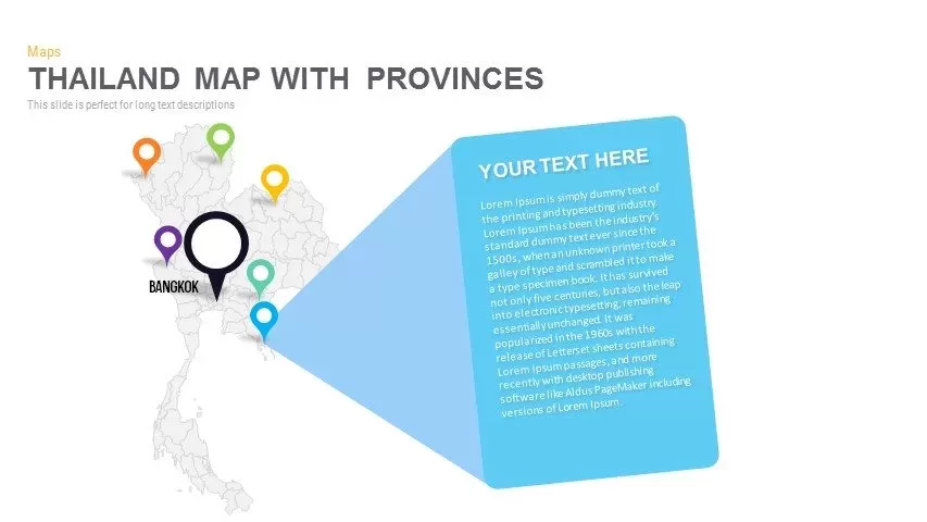
Thailand Provinces Map Infographic Pack Template for PowerPoint & Google Slides
Maps
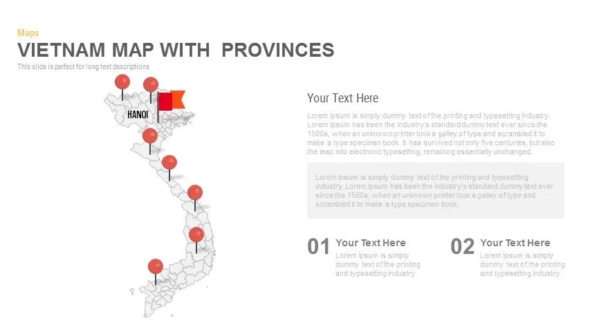
Vietnam Provinces Map Infographic Pack Template for PowerPoint & Google Slides
Maps
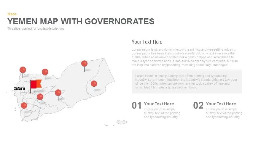
Yemen Governorates Infographic Map Template for PowerPoint & Google Slides
Maps

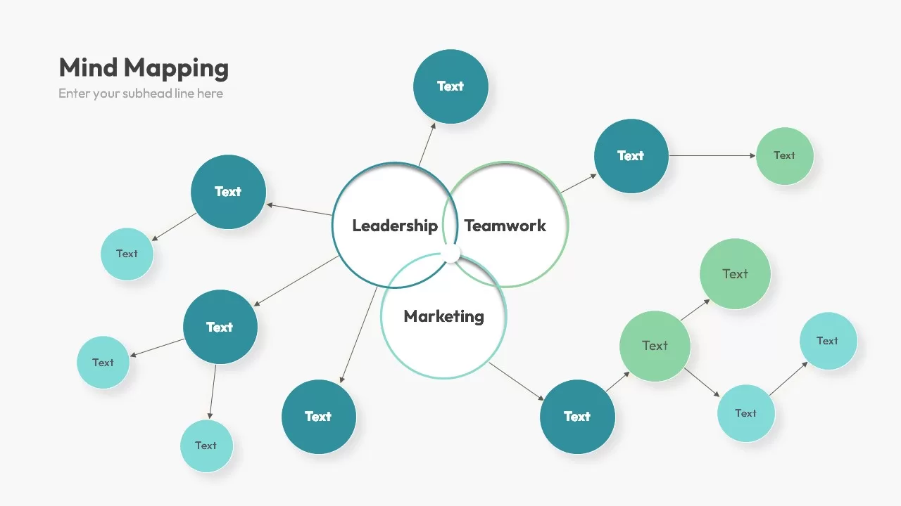
Multi-Cluster Mind Map Infographic Template for PowerPoint & Google Slides
Mind Maps
Colorful Mind Map Infographic Template with Icons for PowerPoint & Google Slides
Mind Maps
Colorful Mind Map Infographic Template for PowerPoint & Google Slides
Mind Maps
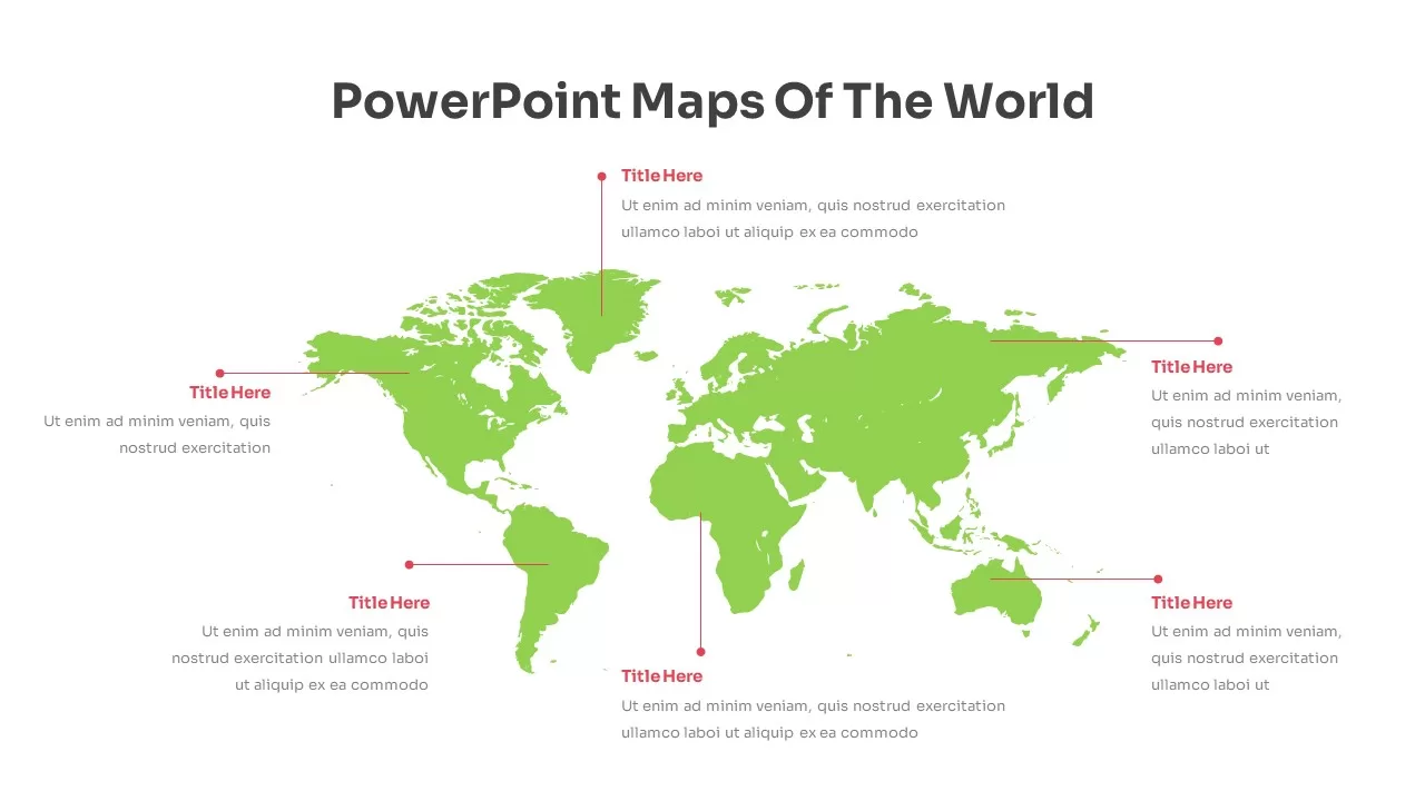
Modern World Map Callout Infographic Template for PowerPoint & Google Slides
World Maps
Eight-Node Mind Map Infographic Diagram Template for PowerPoint & Google Slides
Mind Maps
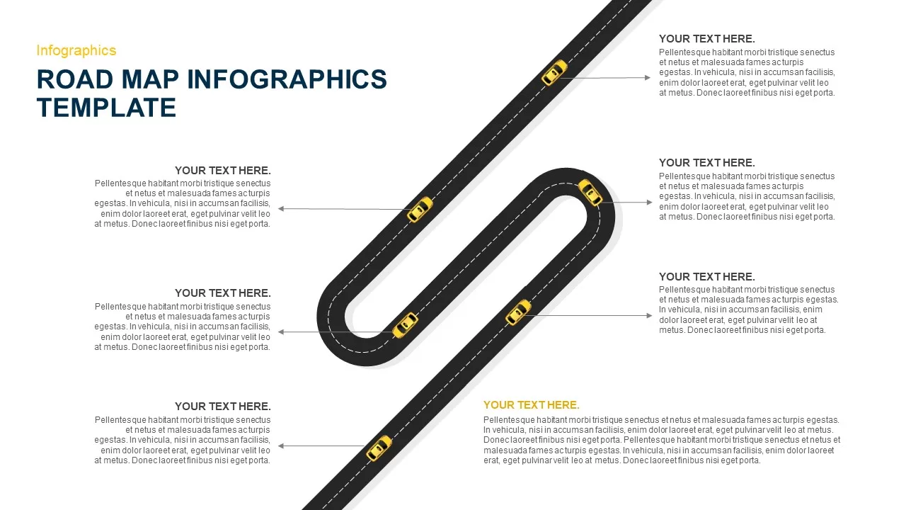
Six-Stage Road Map Infographic Timeline Template for PowerPoint & Google Slides
Roadmap
Versatile Mind Map Infographic Template for PowerPoint & Google Slides
Mind Maps
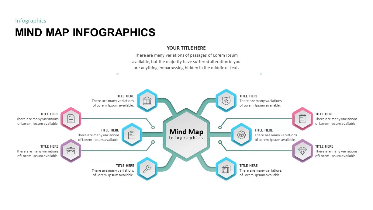
Structured Mind Map Infographic Diagram Template for PowerPoint & Google Slides
Mind Maps
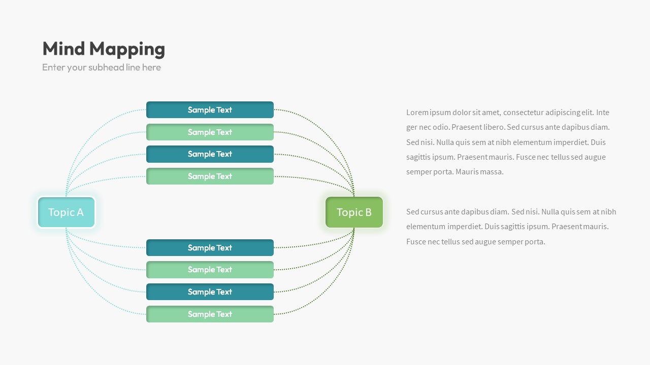
Dual Topic Mind Map Infographic Template for PowerPoint & Google Slides
Mind Maps
Tri-Cluster Mind Map Infographic Template for PowerPoint & Google Slides
Mind Maps
North America Percentage Map Infographic Template for PowerPoint & Google Slides
World Maps
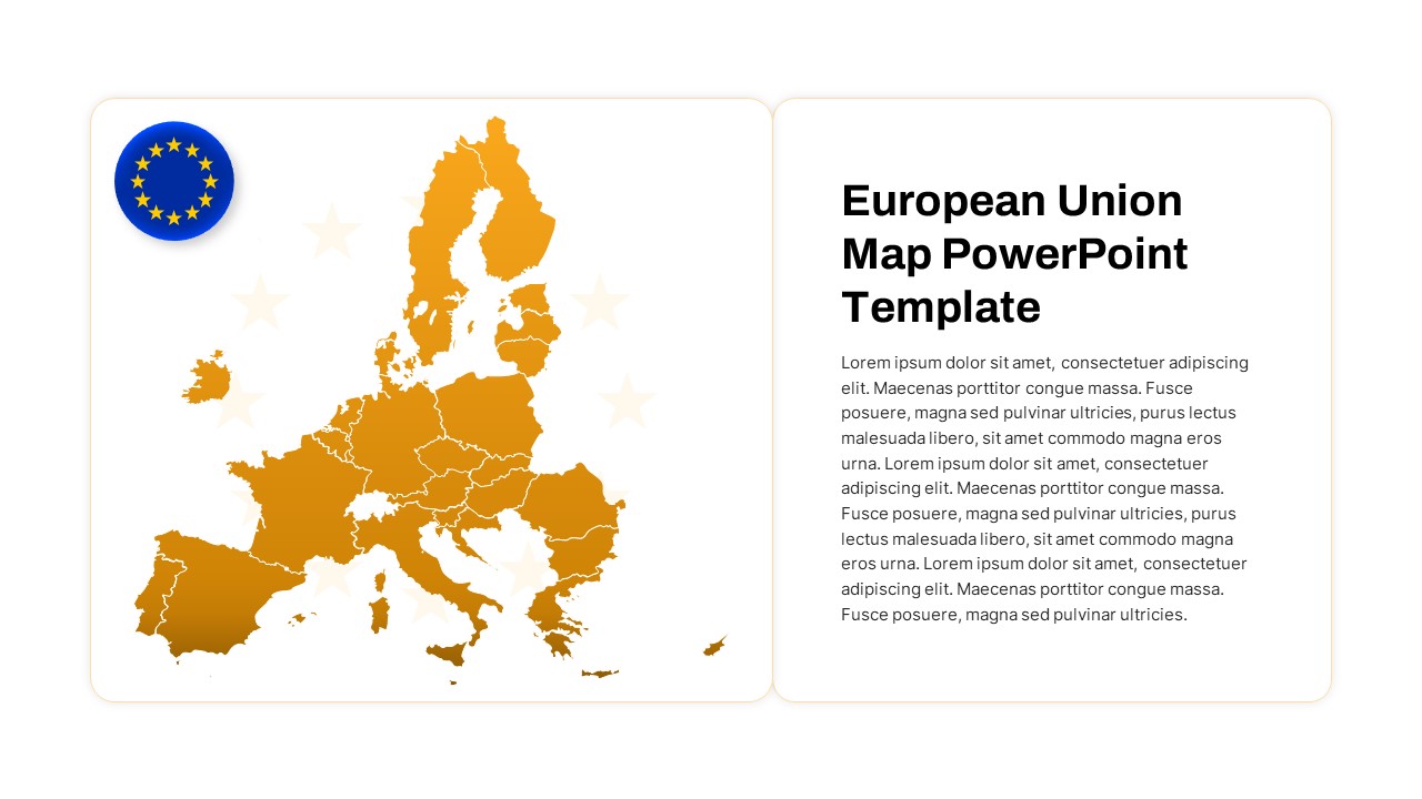
European Union Map Infographic Template for PowerPoint & Google Slides
World Maps
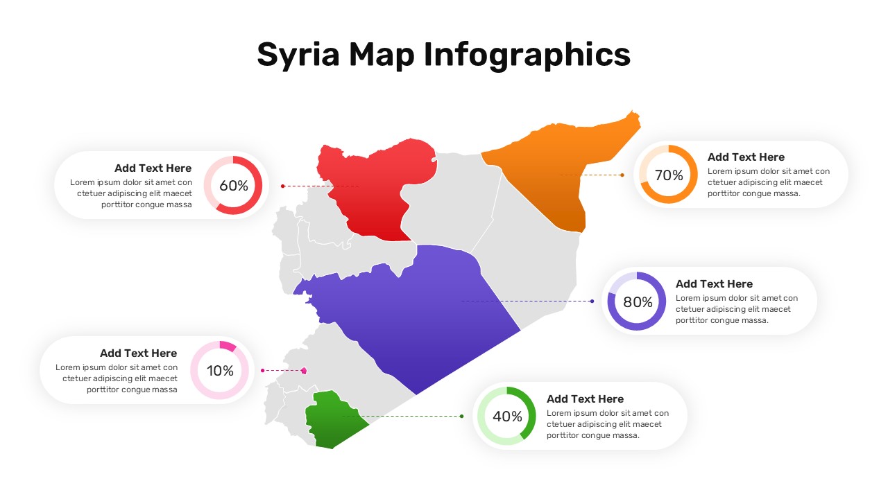
Syria Regional Data Map Infographic Template for PowerPoint & Google Slides
World Maps
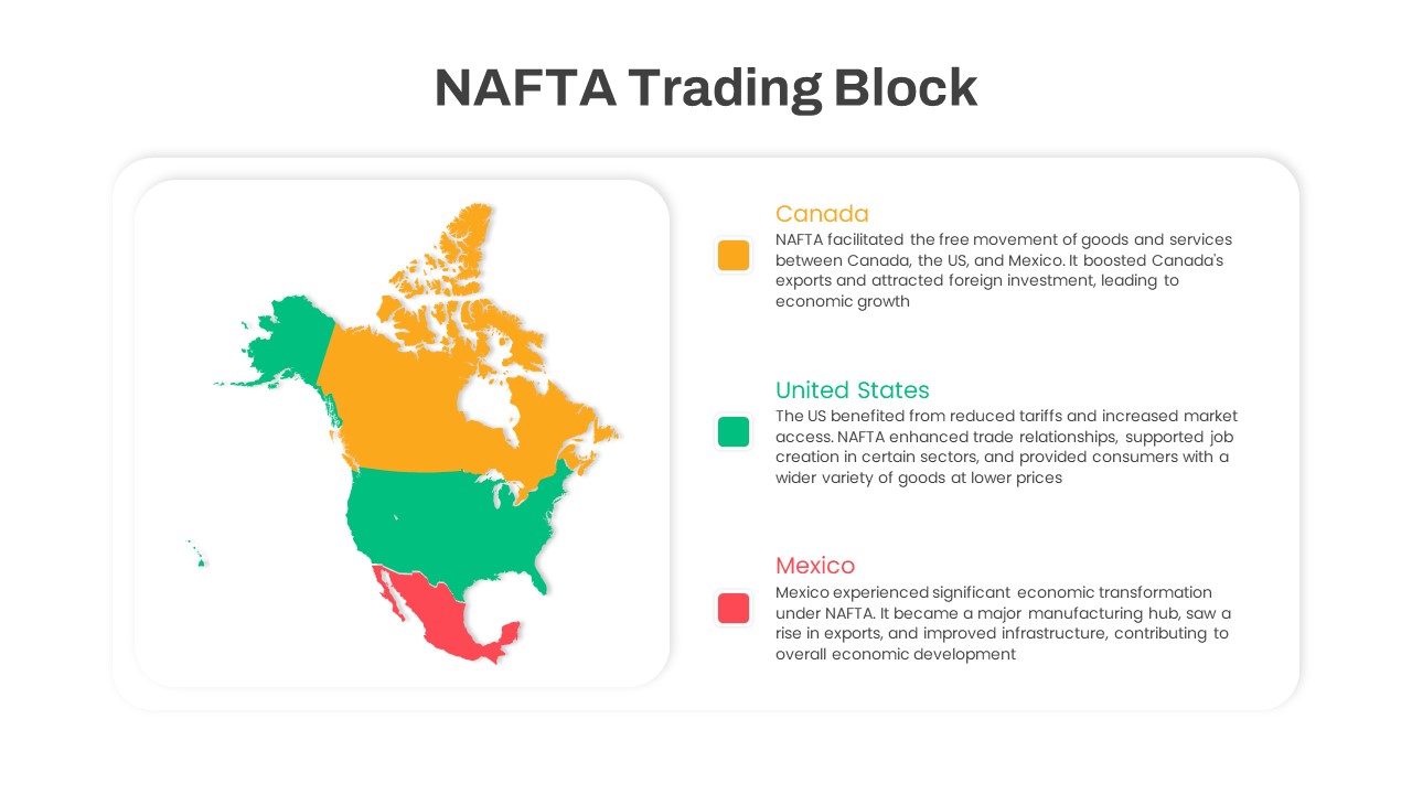
NAFTA Trading Block Map Infographic Template for PowerPoint & Google Slides
World Maps
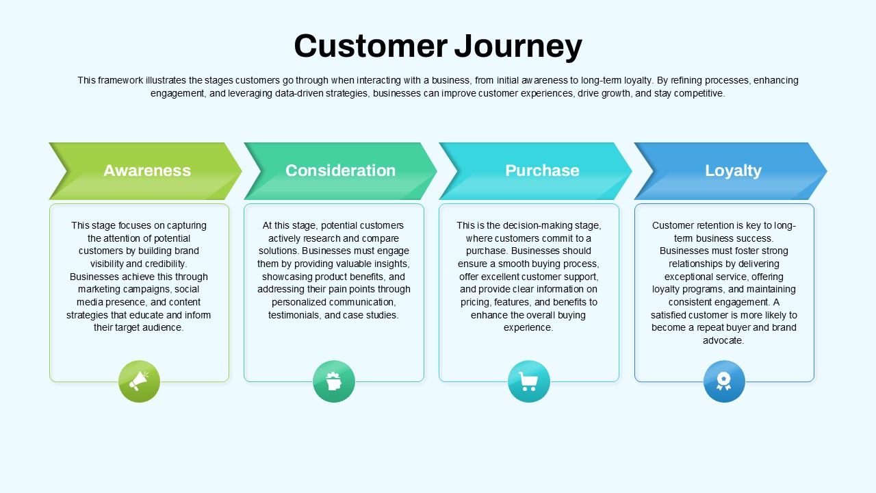
Customer Journey Process Map Infographic Template for PowerPoint & Google Slides
Customer Journey
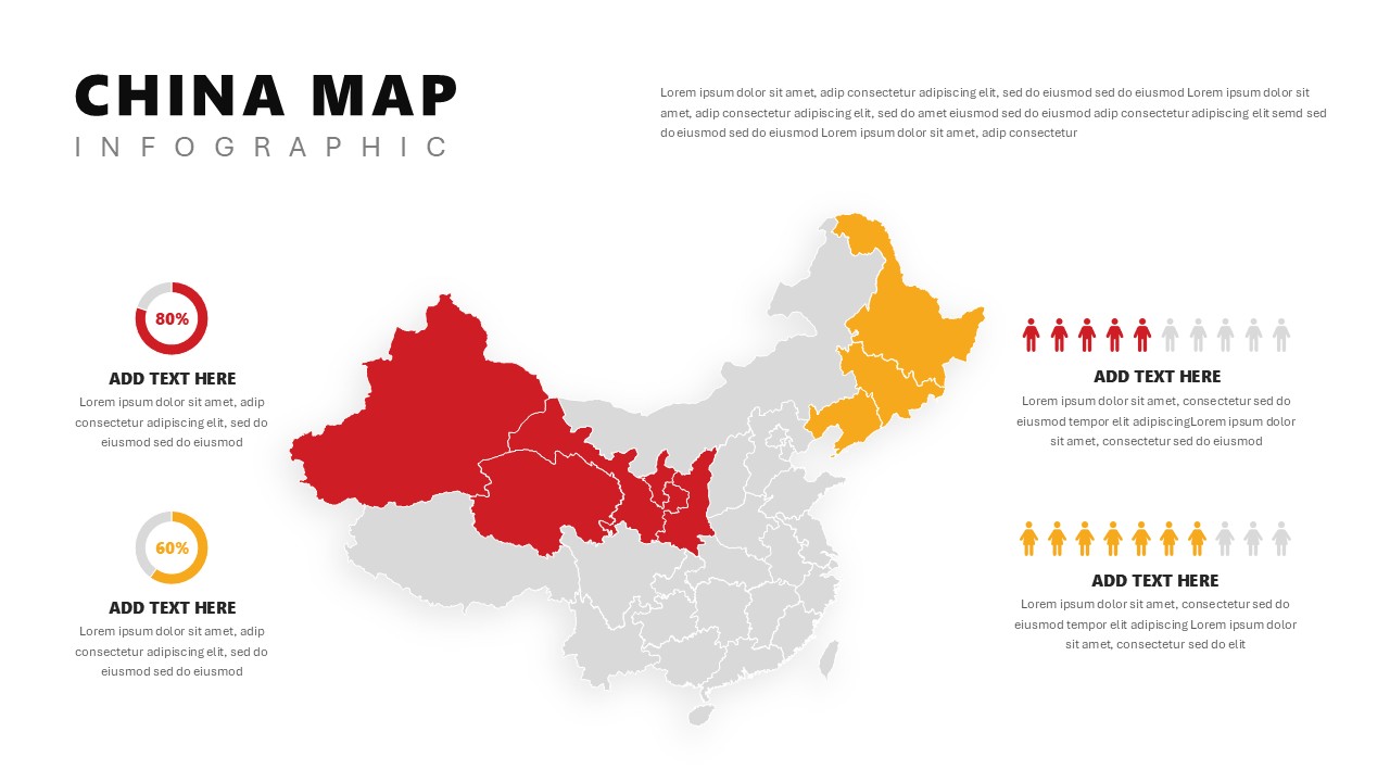
China Map Infographic Regional Stats Template for PowerPoint & Google Slides
World Maps
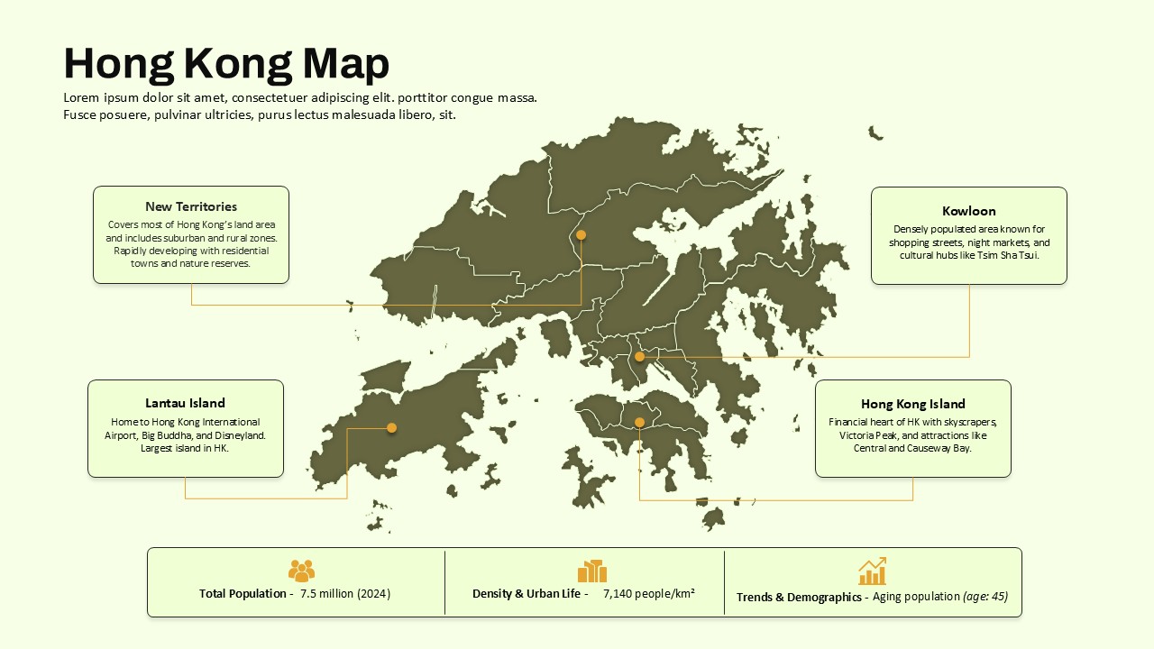
Hong Kong Geographic Map Infographic Template for PowerPoint & Google Slides
World Maps
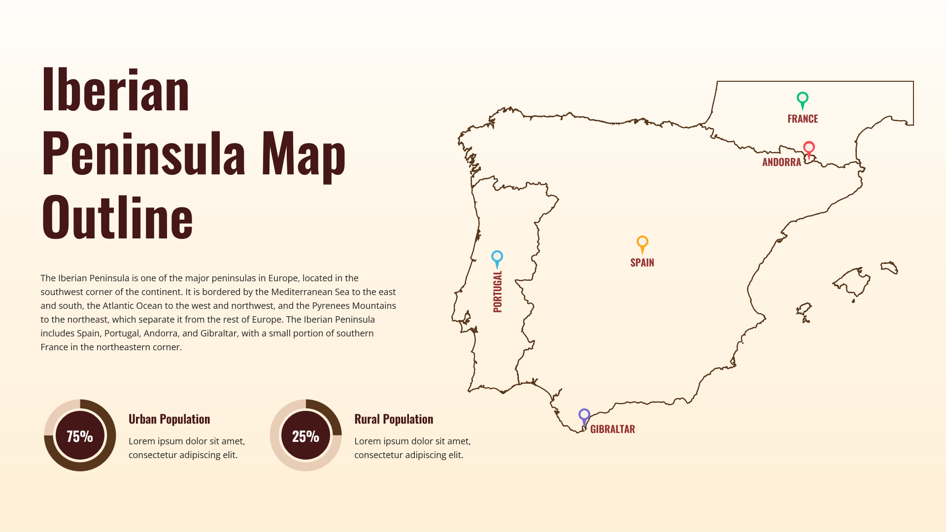
Iberian Peninsula Map Outline Infographic Template for PowerPoint & Google Slides
World Maps
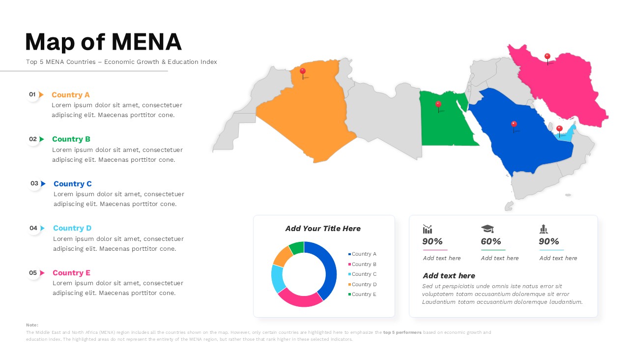
Map of MENA Infographic Template for PowerPoint & Google Slides
World Maps
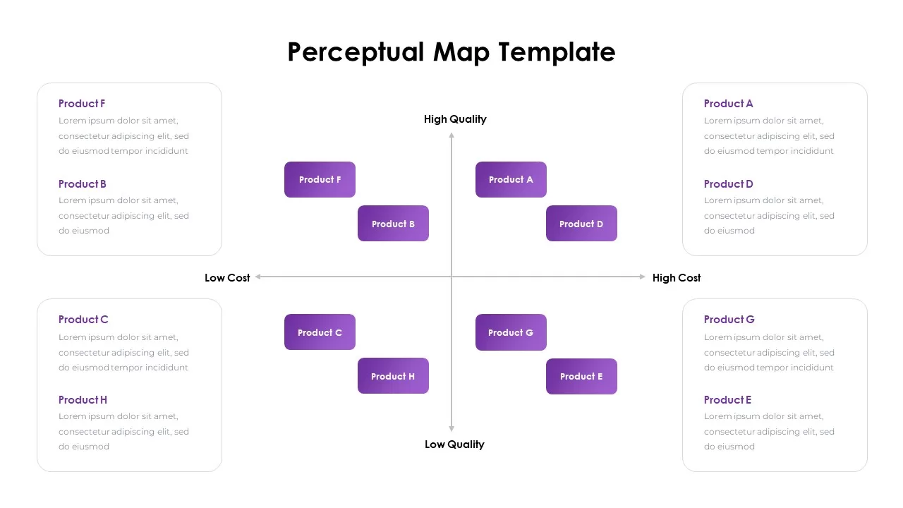
Perceptual Map infographic for PowerPoint & Google Slides
Competitor Analysis
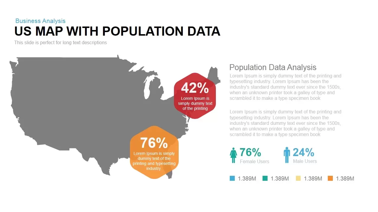
Interactive US Population Data Map Slide Template for PowerPoint & Google Slides
World Maps
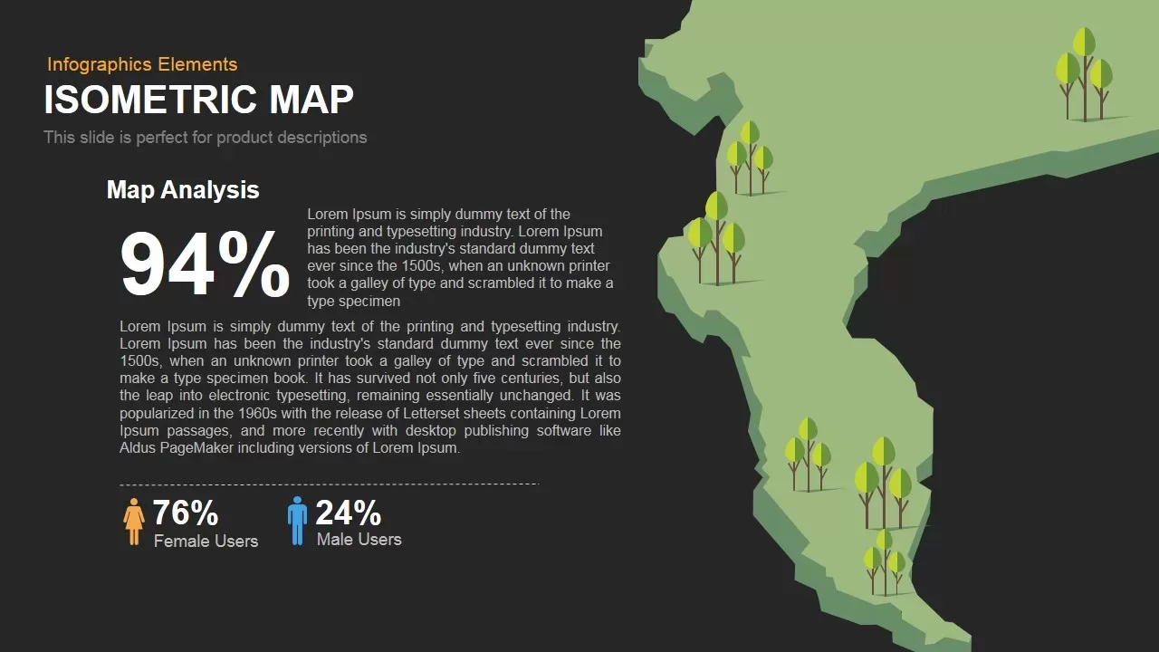
Isometric Map Analysis Slide Template for PowerPoint & Google Slides
World Maps
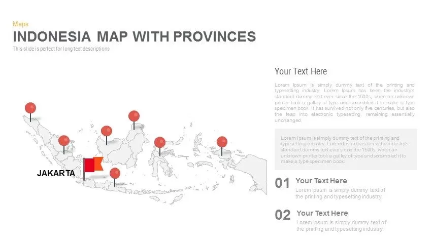
Indonesia Province Map Callout Slide Template for PowerPoint & Google Slides
Maps
Angola Provinces Map Slide Pack Template for PowerPoint & Google Slides
World Maps
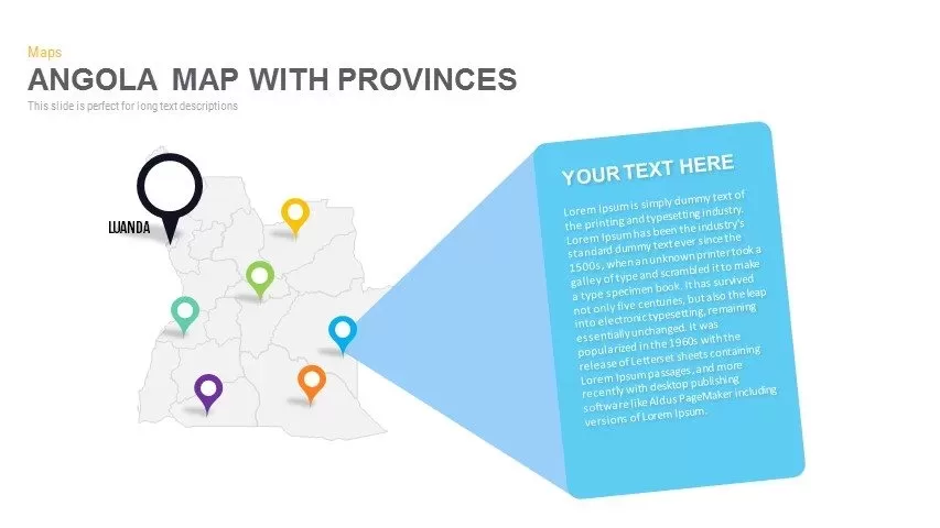
Angola Map with Provinces Slide Pack Template for PowerPoint & Google Slides
World Maps
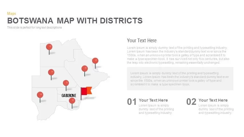
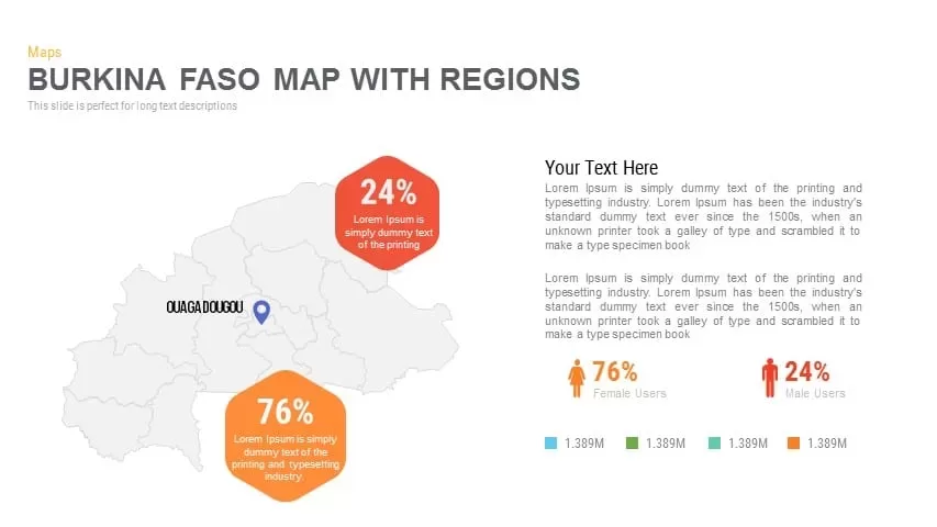
Burkina Faso Map with Regions Slide Pack Template for PowerPoint & Google Slides
World Maps
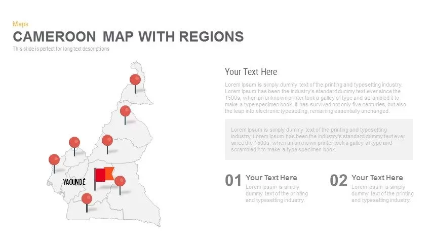
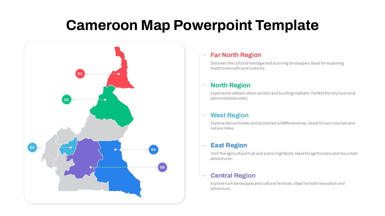
Cameroon Map with Regions Slide Pack Template for PowerPoint & Google Slides
World Maps
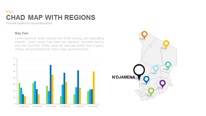
Chad Map with Regions Slide Pack Template for PowerPoint & Google Slides
World Maps
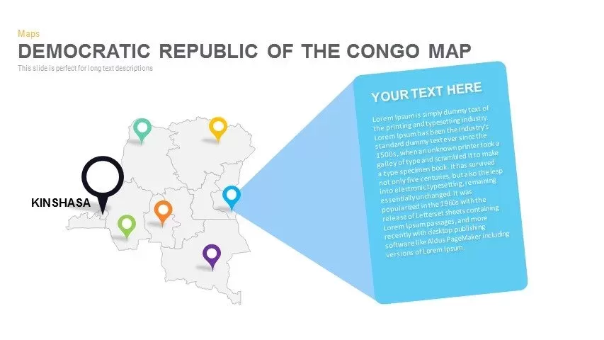
DR Congo Prefecture Map Slide Pack Template for PowerPoint & Google Slides
World Maps
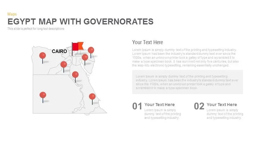
Egypt Regional Map Slide Pack Template for PowerPoint & Google Slides
World Maps
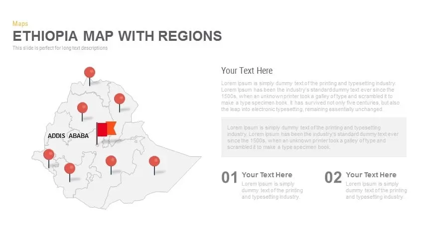
Ethiopia Map with Regions Slide Pack Template for PowerPoint & Google Slides
World Maps
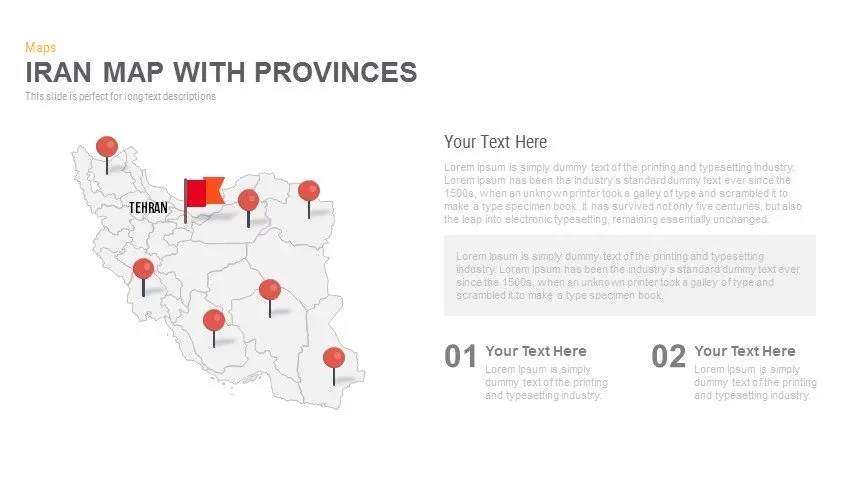
Iran Map with Provinces Slide Pack Template for PowerPoint & Google Slides
World Maps
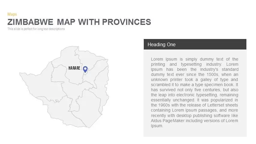
Zimbabwe Map with Provinces Slide Pack Template for PowerPoint & Google Slides
World Maps
Colorful Multi-Branch Mind Map Slide Template for PowerPoint & Google Slides
Mind Maps
Numbered Cameroon Regional Map Slide Template for PowerPoint & Google Slides
World Maps
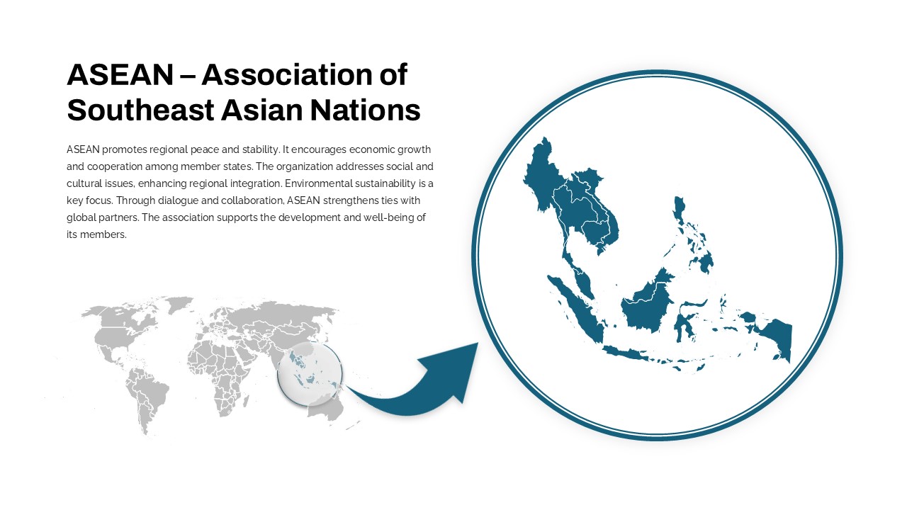
Professional ASEAN Region Zoom Map Slide Template for PowerPoint & Google Slides
World Maps
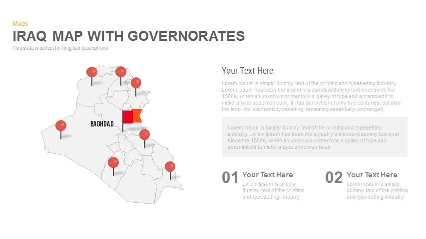
Interactive Iraq Map with Governorates Slide Pack for PowerPoint & Google Slides
World Maps
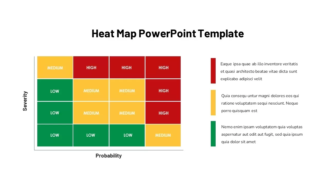
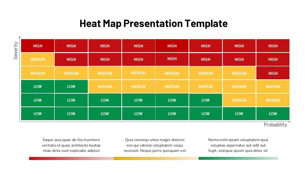
Heat Map Slide for PowerPoint & Google Slides
Maps
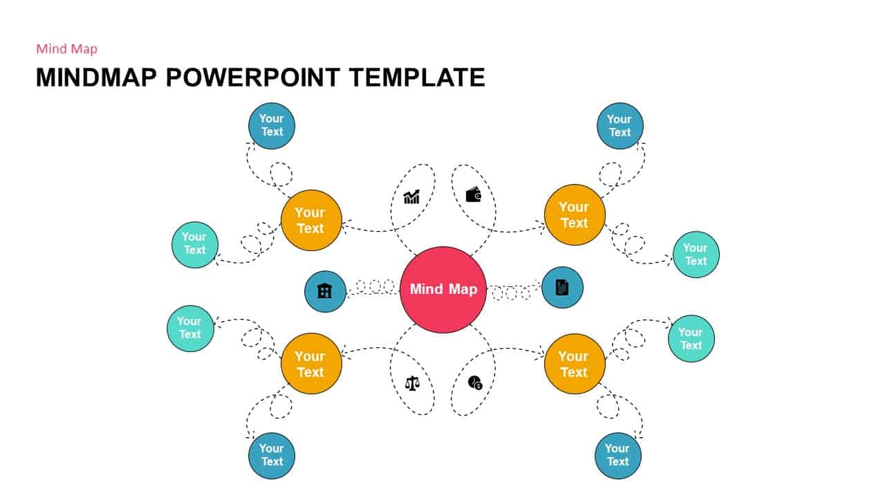
Mind Map PowerPoint template for PowerPoint & Google Slides
Mind Maps
Heat Map Analysis Template for PowerPoint & Google Slides
Risk Management
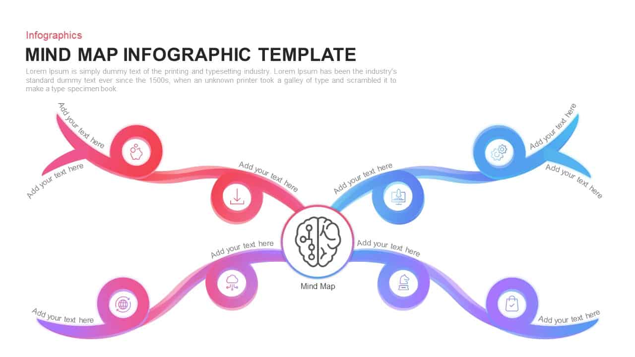
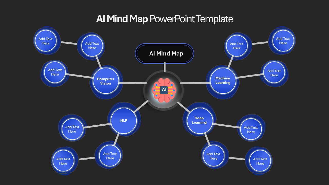
AI Mind Map & Hub-and-Spoke Diagram Template for PowerPoint & Google Slides
Mind Maps