Customizable Canada Map Outline Template for PowerPoint & Google Slides
Description
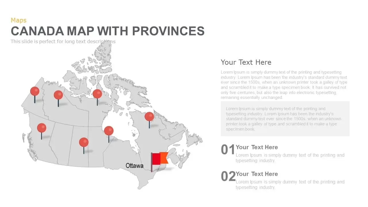
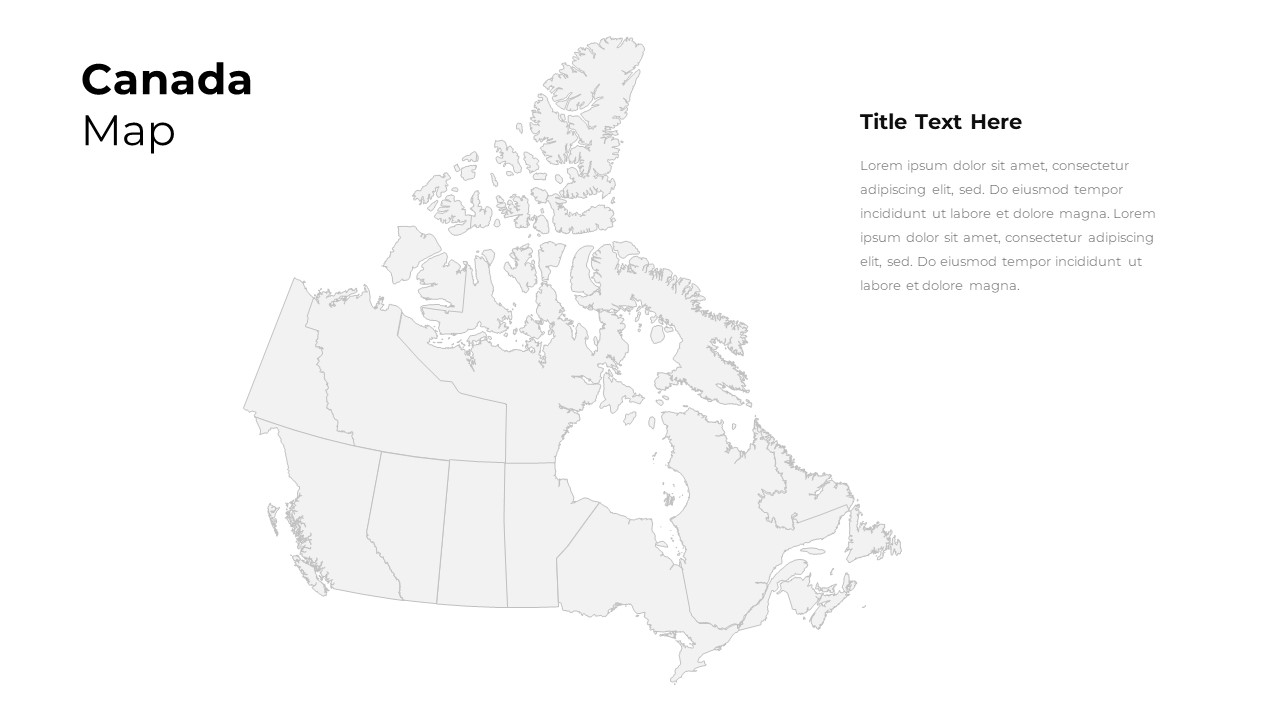
Leverage this fully editable Canada map outline slide to present geographic insights, regional metrics, and spatial analyses with clarity and precision. The slide features a vector-based map of Canada rendered in light gray outlines against a clean white background, delineating provincial and territorial borders for detailed analysis. Positioned on the left side is a clear title placeholder, while ample space on the right accommodates descriptive text, ensuring your commentary does not obscure any map details. Created with master slide integration and grouped vector objects, this template enables seamless customization of fill colors, border weights, and region highlights. Highlight individual provinces or territories, apply data-driven color coding for sales territories, demographic distributions, or operational zones, and easily adjust map scaling without loss of quality.
Optimized for both PowerPoint and Google Slides, the map maintains full resolution clarity on projectors, screens, and printed materials. Intuitive placeholder layers let you add callouts, data labels, and custom icons with simple drag-and-drop actions, while built-in alignment guides ensure professional composition and consistent spacing. Whether illustrating market share by province, tracking logistics routes, or comparing demographic indicators across regions, this Canada map outline empowers you to translate complex information into an engaging visual narrative. Included slide variations feature single-region zooms, side-by-side comparisons of multiple maps, and thematic overlays for climate, population, or economic data. By using this Canada map slide, presenters can streamline slide creation, uphold brand standards, and deliver impactful geographic reports, strategic business plans, and academic presentations with minimal effort. The simplistic design also ensures quick readability for diverse audience types.
Who is it for
Market analysts, regional planners, business strategists, and academic presenters will benefit from this map slide when visualizing provincial data, highlighting target markets, or comparing demographic and economic indicators across Canada.
Other Uses
Repurpose this template for sales territory mapping, logistics route planning, demographic studies, resource allocation presentations, or educational workshops that require clear geographical context.
Login to download this file

Item ID
SB02787
Related Templates

Customizable USA Map With State Markers Template for PowerPoint & Google Slides
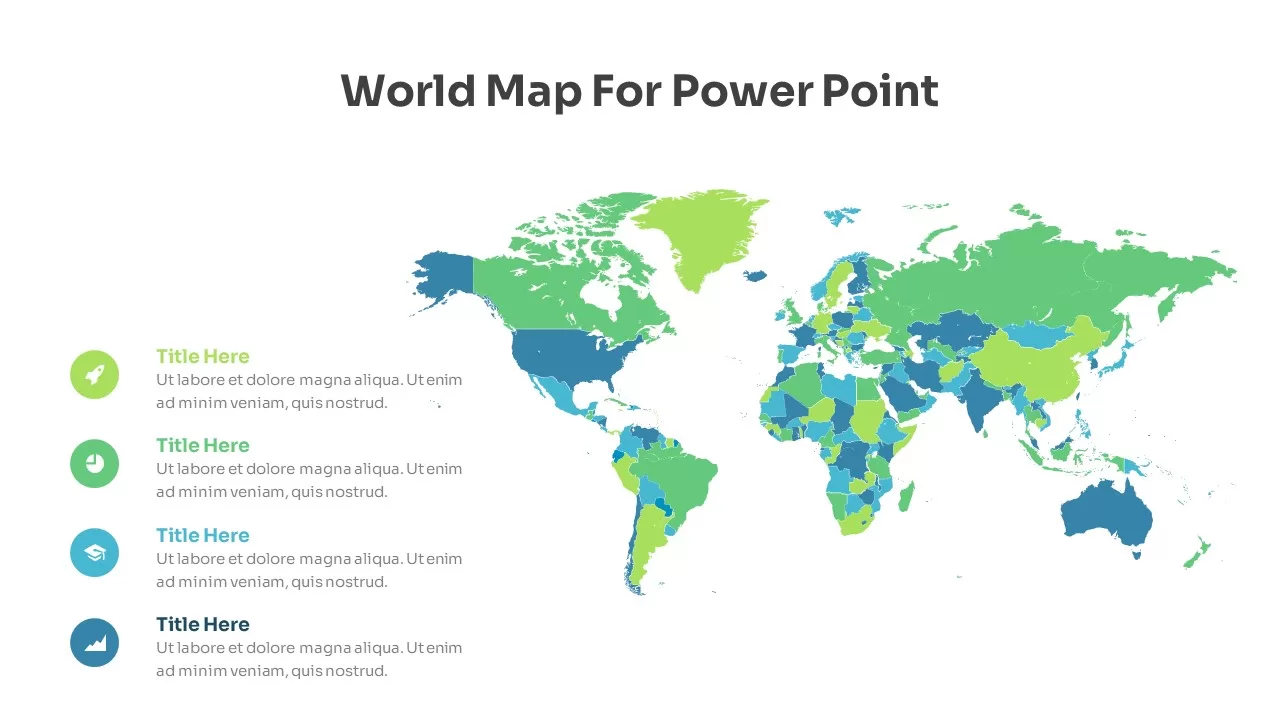
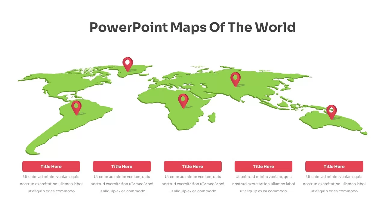
World Maps
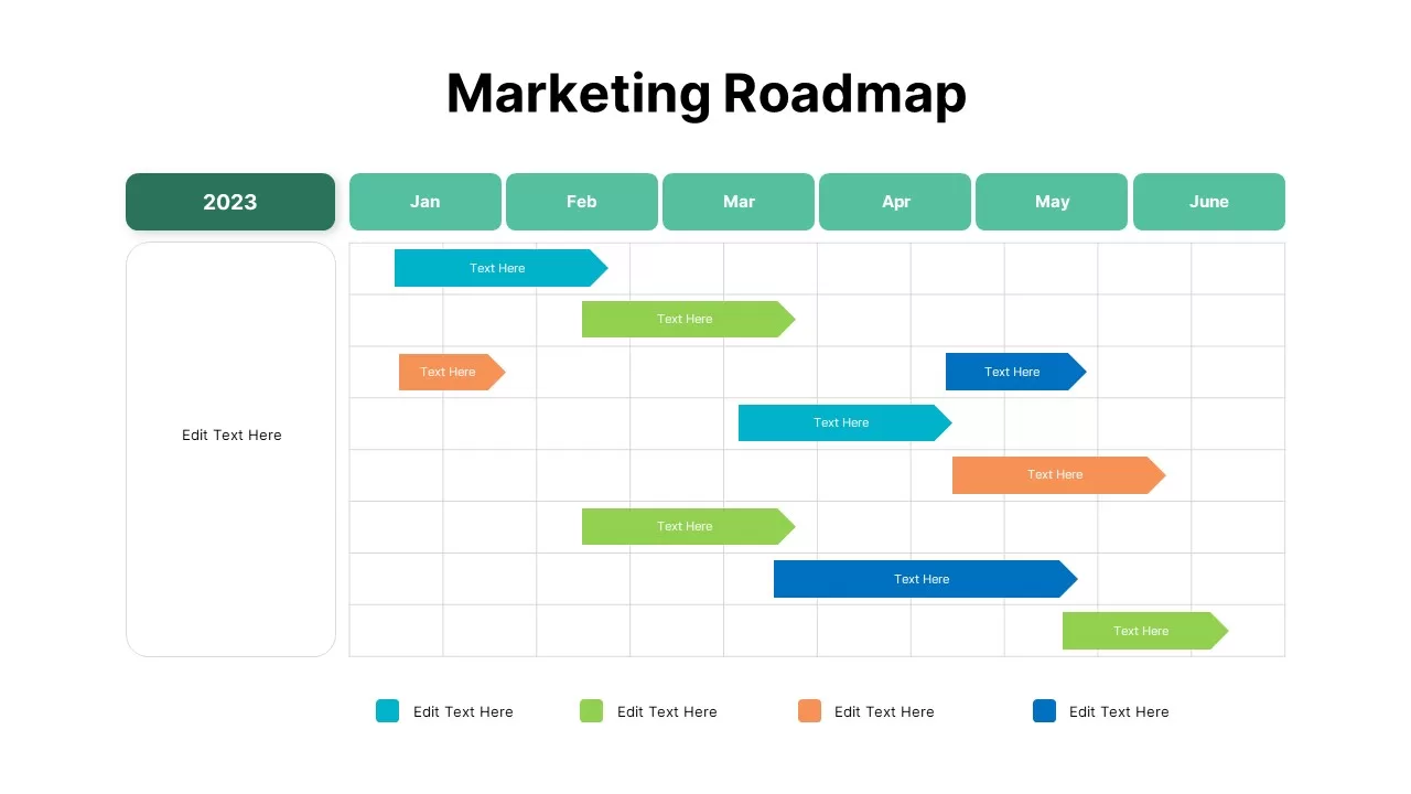
Customizable Marketing Roadmap Timeline Template for PowerPoint & Google Slides
Roadmap
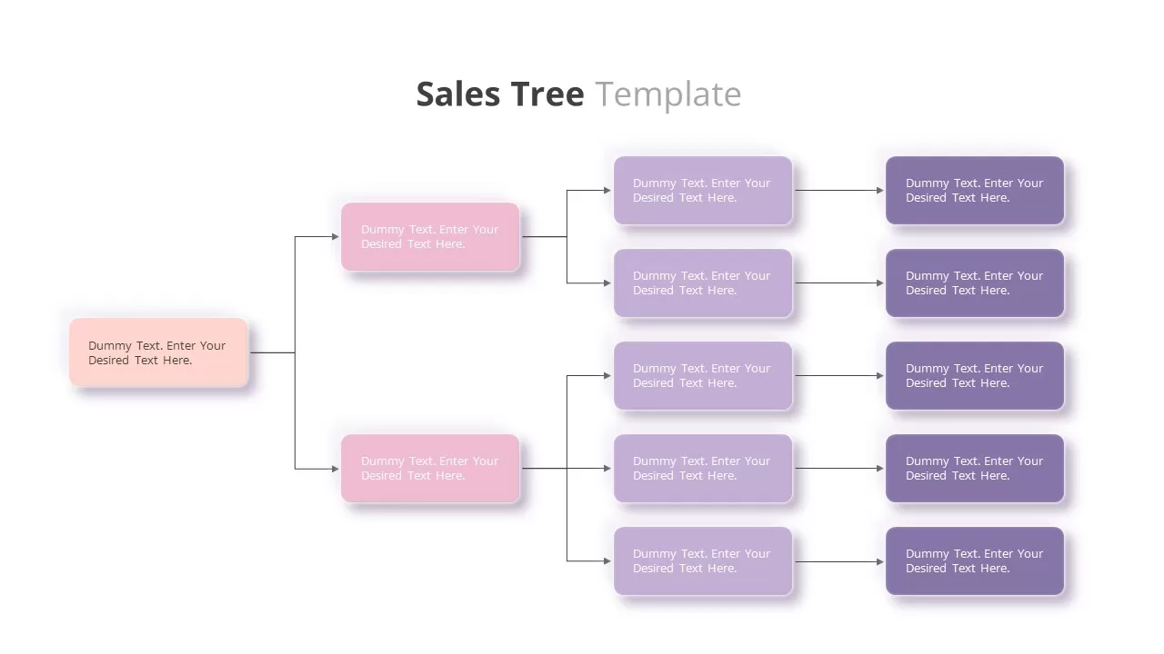
Customizable Sales Tree Diagram Template for PowerPoint & Google Slides
Org Chart

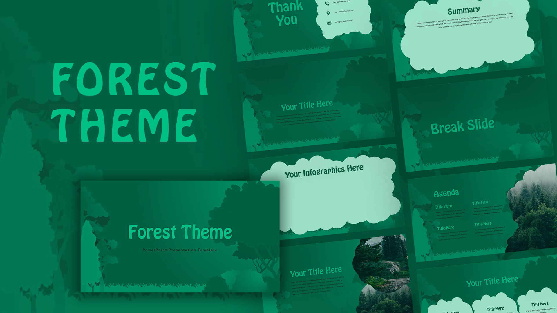
Customizable Forest Theme Presentation Template for PowerPoint & Google Slides
Pitch Deck
Canada Provinces Map Multi-Layout Template for PowerPoint & Google Slides
World Maps
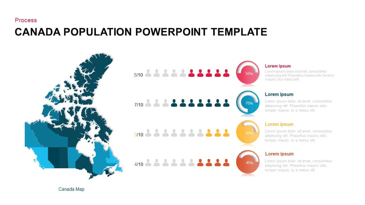
Canada Population Infographics Template for PowerPoint & Google Slides
World Maps
Communication Plan Outline Template Pack for PowerPoint & Google Slides
Infographics
Modern Presentation Outline Template for PowerPoint & Google Slides
Process
Free Product Development Process Outline Template for PowerPoint & Google Slides
Infographics
Free
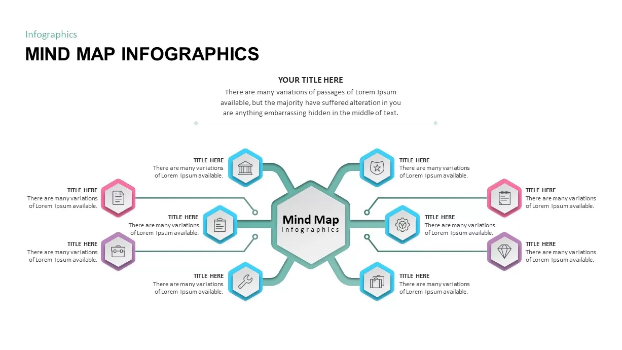
Mind Map PowerPoint template for PowerPoint & Google Slides
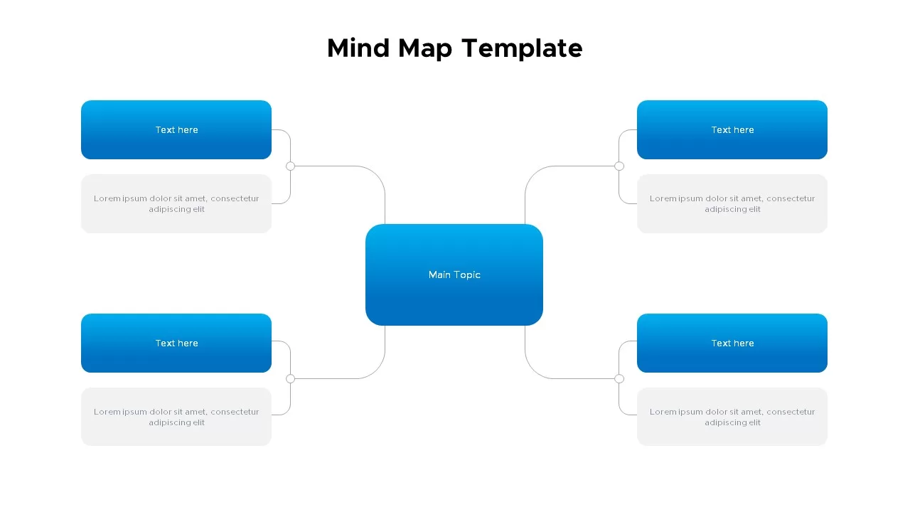
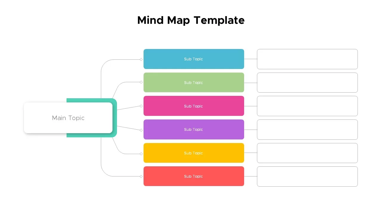
Mind Maps
Editable Colombia Map PowerPoint Template for PowerPoint & Google Slides
Business Models
Free Social Media Users Map template for PowerPoint & Google Slides
World Maps
Free
World Map Data template for PowerPoint & Google Slides
World Maps
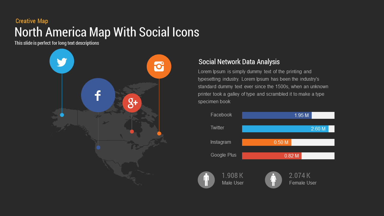
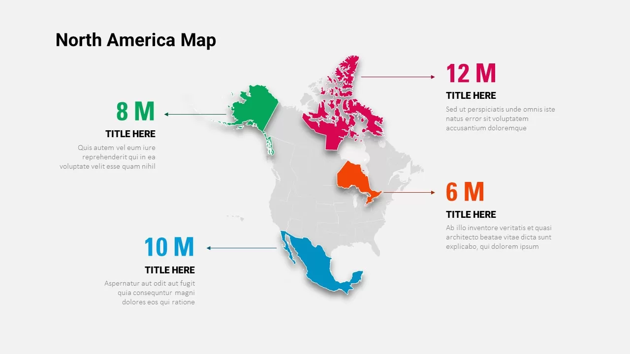
North America Map template for PowerPoint & Google Slides
World Maps
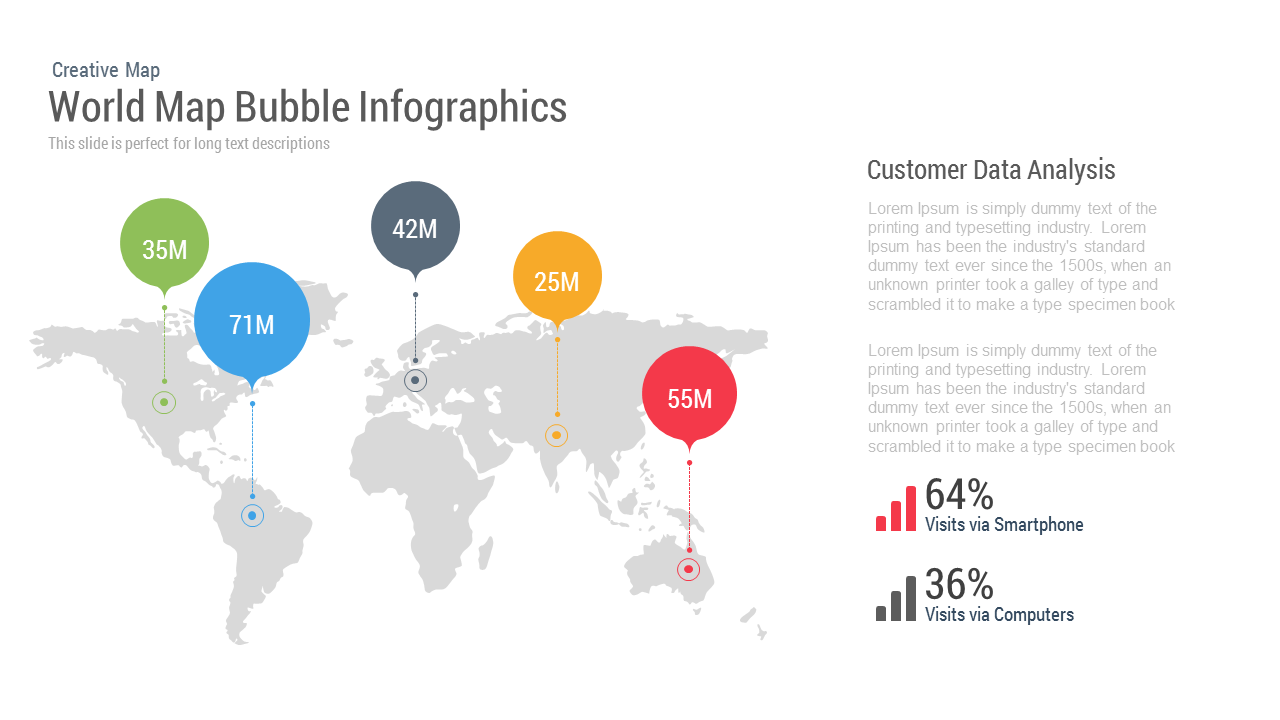
World Map Bubble template for PowerPoint & Google Slides
World Maps
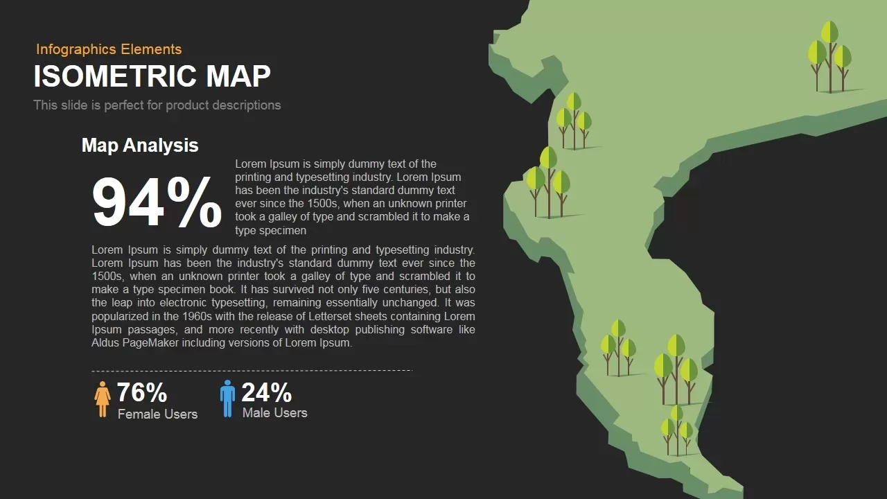
Isometric Map Analysis Slide Template for PowerPoint & Google Slides
World Maps
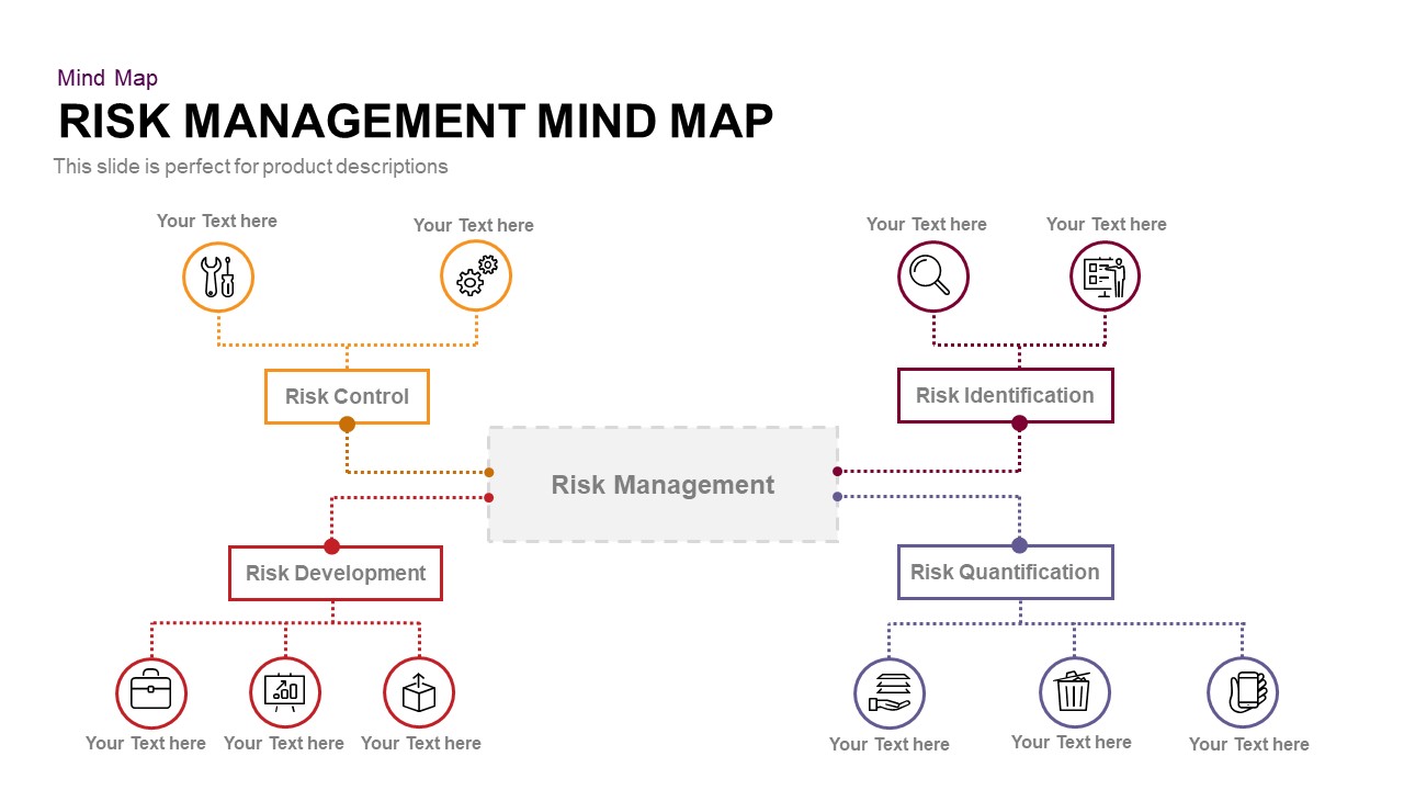
Risk Management Mind Map Radial Diagram template for PowerPoint & Google Slides
Mind Maps
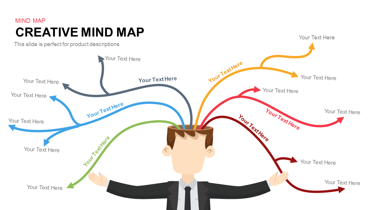
Colorful Creative Mind Map Diagram template for PowerPoint & Google Slides
Mind Maps
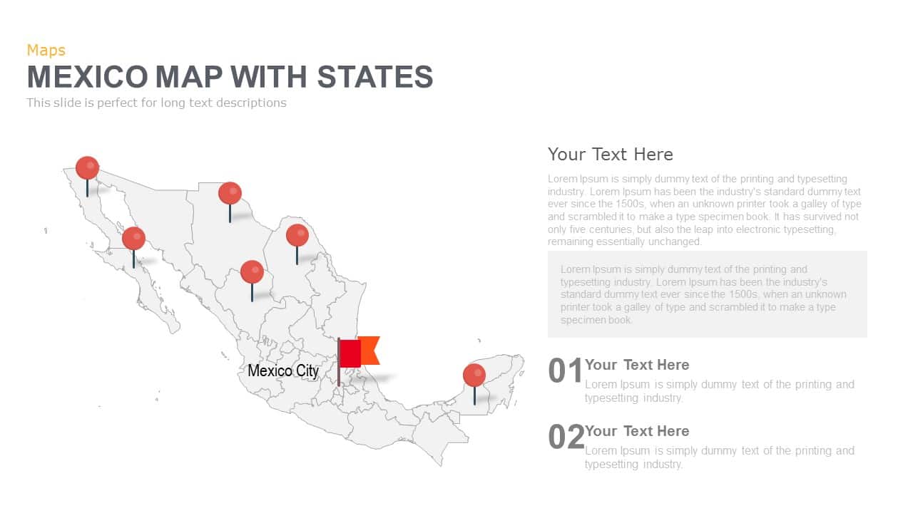
Mexico Map With States Template for PowerPoint & Google Slides
World Maps
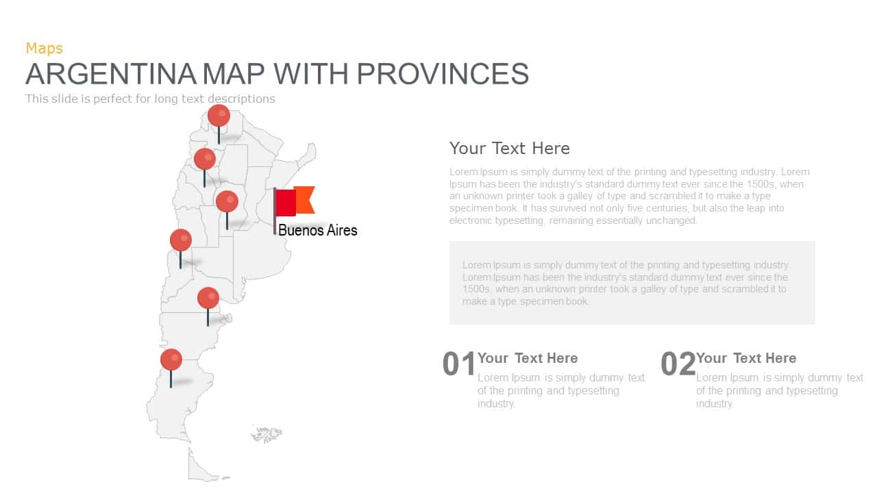
Argentina Province Map Markers Template for PowerPoint & Google Slides
World Maps
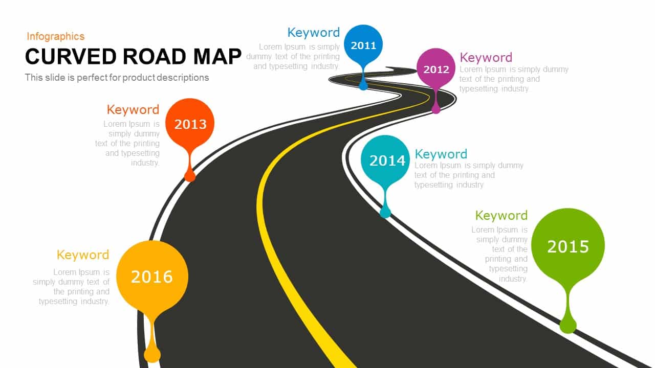
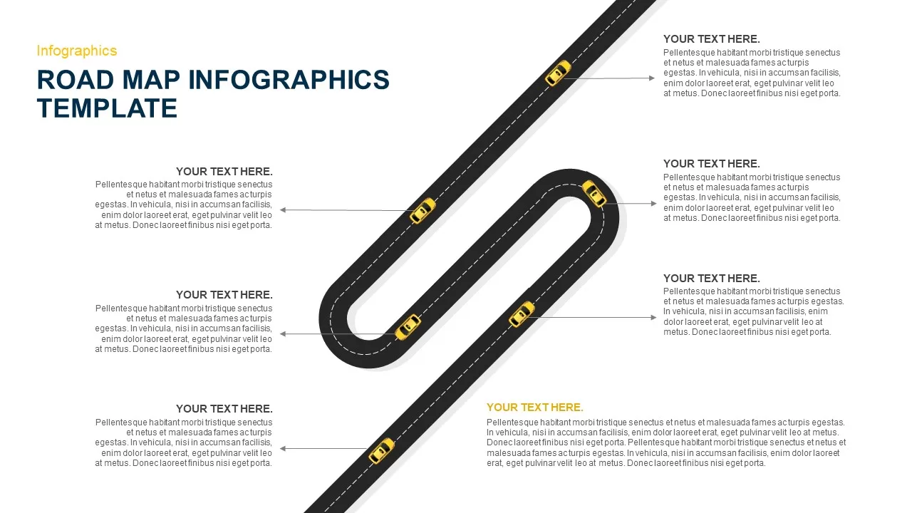
Curved Road Map Timeline Infographic Template for PowerPoint & Google Slides
Roadmap
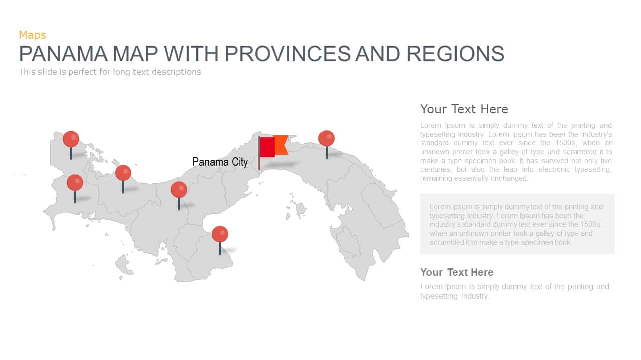
Panama Map with Region Markers Template for PowerPoint & Google Slides
World Maps
Azerbaijan Map with Provinces & Callouts Template for PowerPoint & Google Slides
World Maps
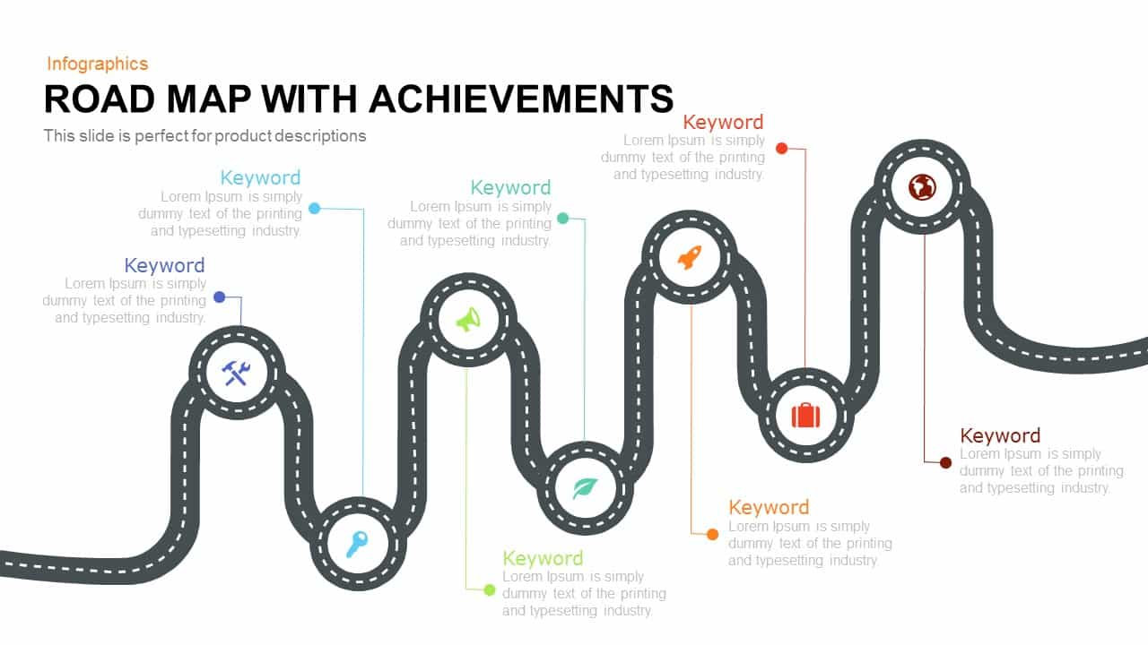
Road Map with Achievements Milestones Template for PowerPoint & Google Slides
Roadmap
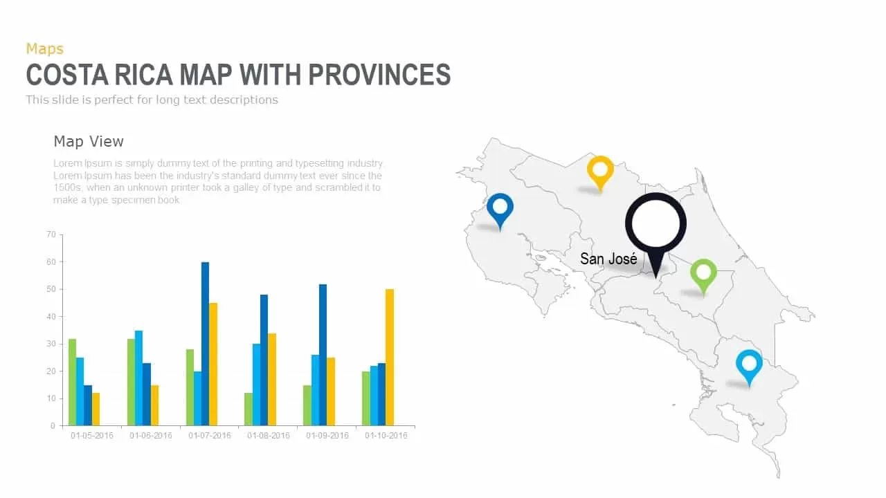
Interactive Costa Rica Province Map Template for PowerPoint & Google Slides
World Maps

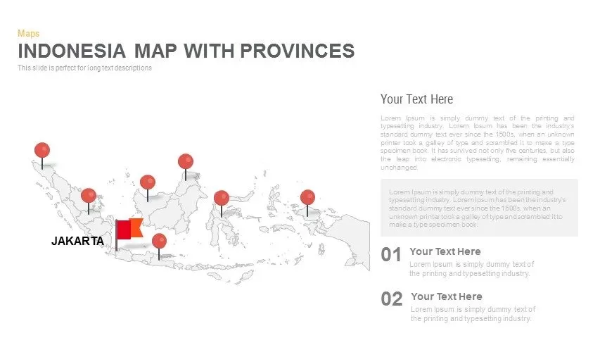
Indonesia Province Map Callout Slide Template for PowerPoint & Google Slides
Maps
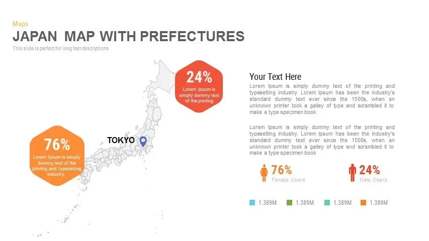
Japan Province Map Infographic Template for PowerPoint & Google Slides
Maps
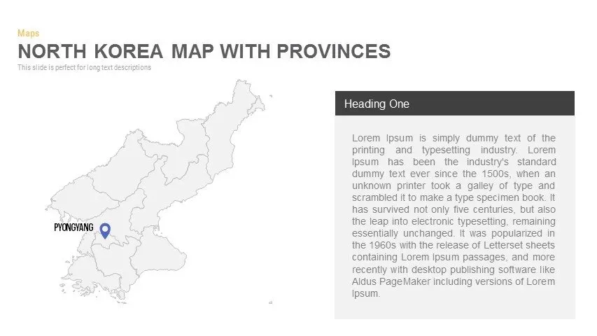
North Korea Map with Provinces Infographic Pack Template for PowerPoint & Google Slides
Maps
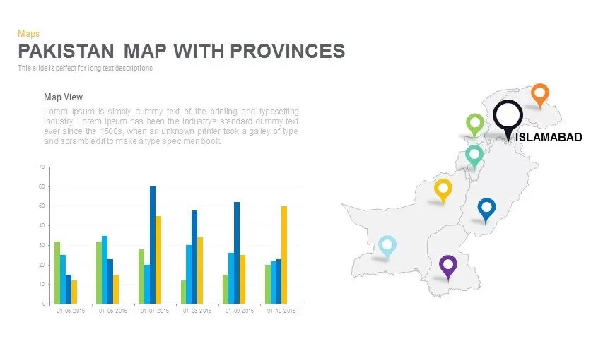
Pakistan Provinces Map Infographic Pack Template for PowerPoint & Google Slides
Maps
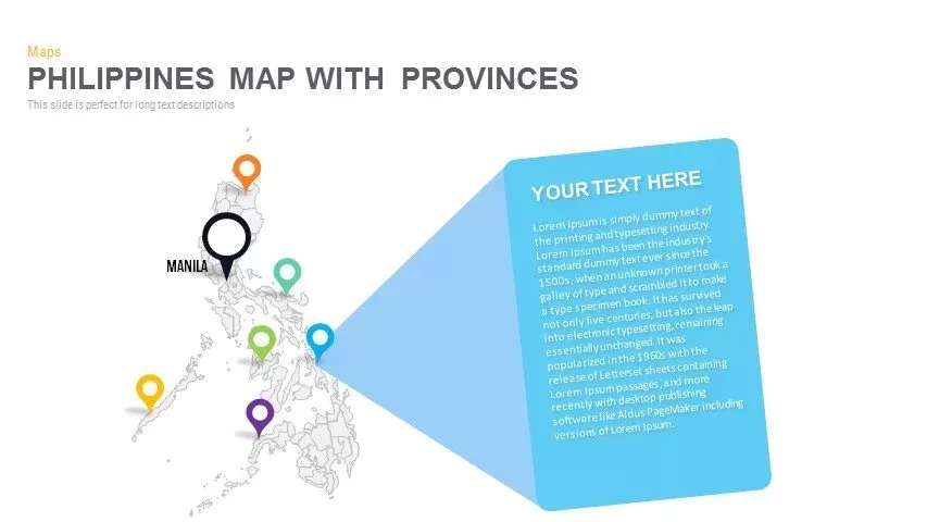
Philippines Map with Provinces Pack Template for PowerPoint & Google Slides
Maps
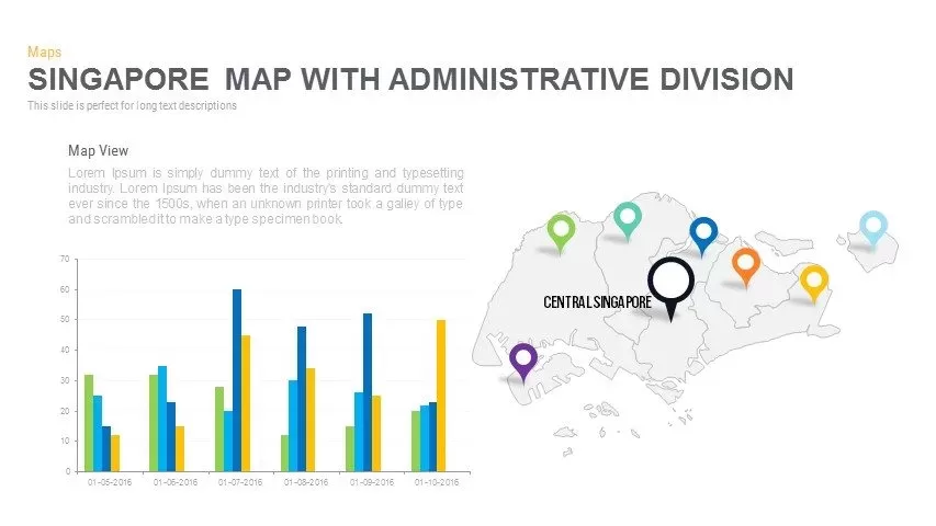
Singapore Map Pack Template for PowerPoint & Google Slides
Maps
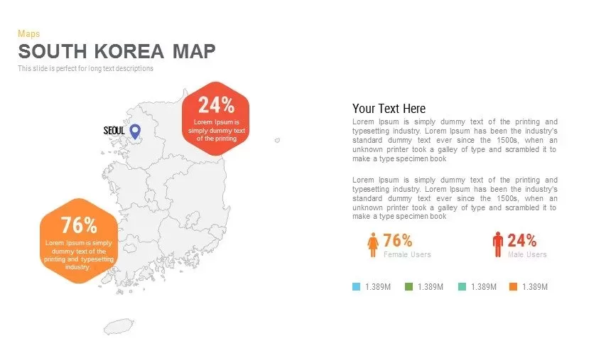
Infographic South Korea Map Template for PowerPoint & Google Slides
Maps
Sri Lanka Map Infographic Pack Template for PowerPoint & Google Slides
Maps
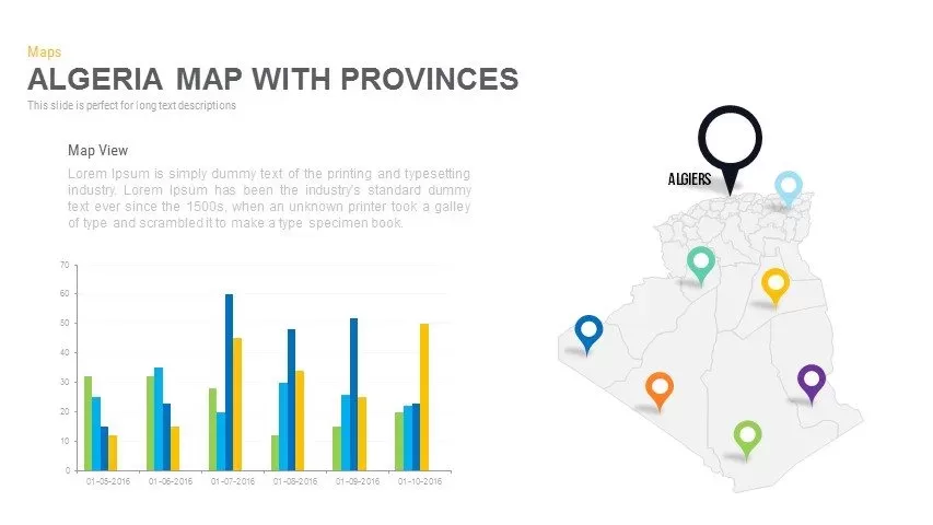
Algeria Map with Provinces Pack Template for PowerPoint & Google Slides
Maps
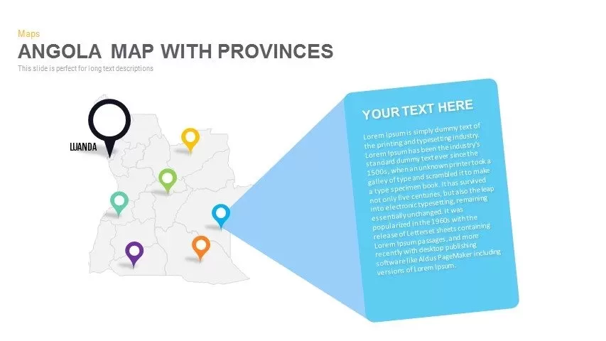
Angola Provinces Map Slide Pack Template for PowerPoint & Google Slides
World Maps
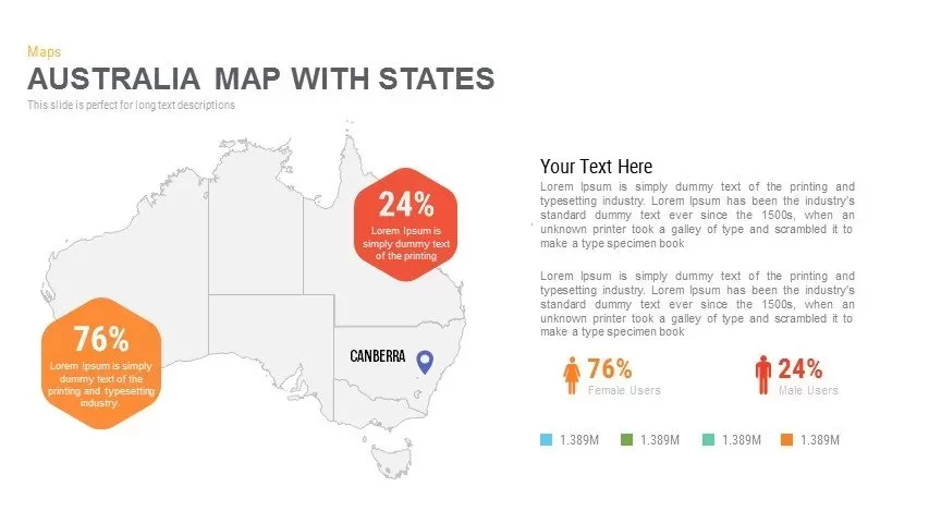
Australia Map with State Markers Template for PowerPoint & Google Slides
Maps
Angola Map with Provinces Slide Pack Template for PowerPoint & Google Slides
World Maps
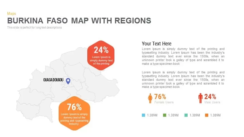
Burkina Faso Map with Regions Slide Pack Template for PowerPoint & Google Slides
World Maps
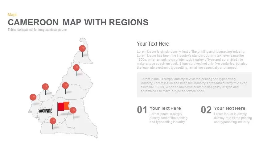
Cameroon Map with Regions Slide Pack Template for PowerPoint & Google Slides
World Maps
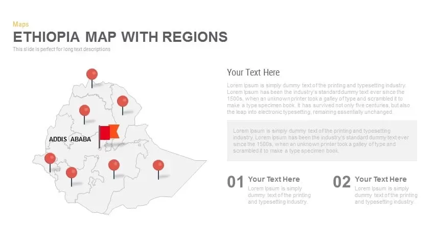
Ethiopia Map with Regions Slide Pack Template for PowerPoint & Google Slides
World Maps
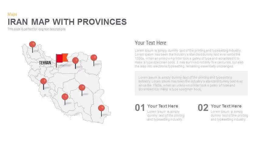
Iran Map with Provinces Slide Pack Template for PowerPoint & Google Slides
World Maps
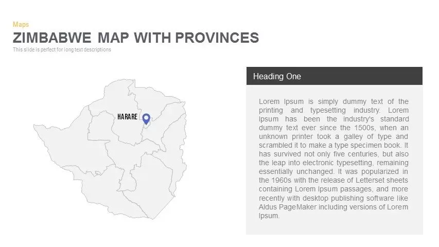
Zimbabwe Map with Provinces Slide Pack Template for PowerPoint & Google Slides
World Maps

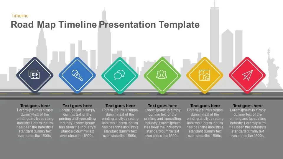
Road Map Timeline Presentation template for PowerPoint & Google Slides
Roadmap

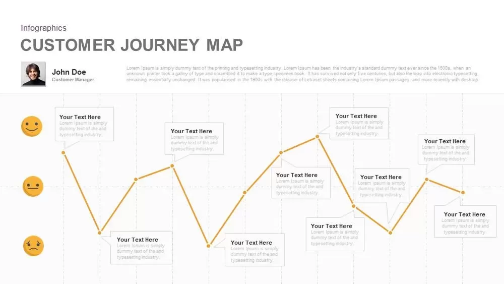
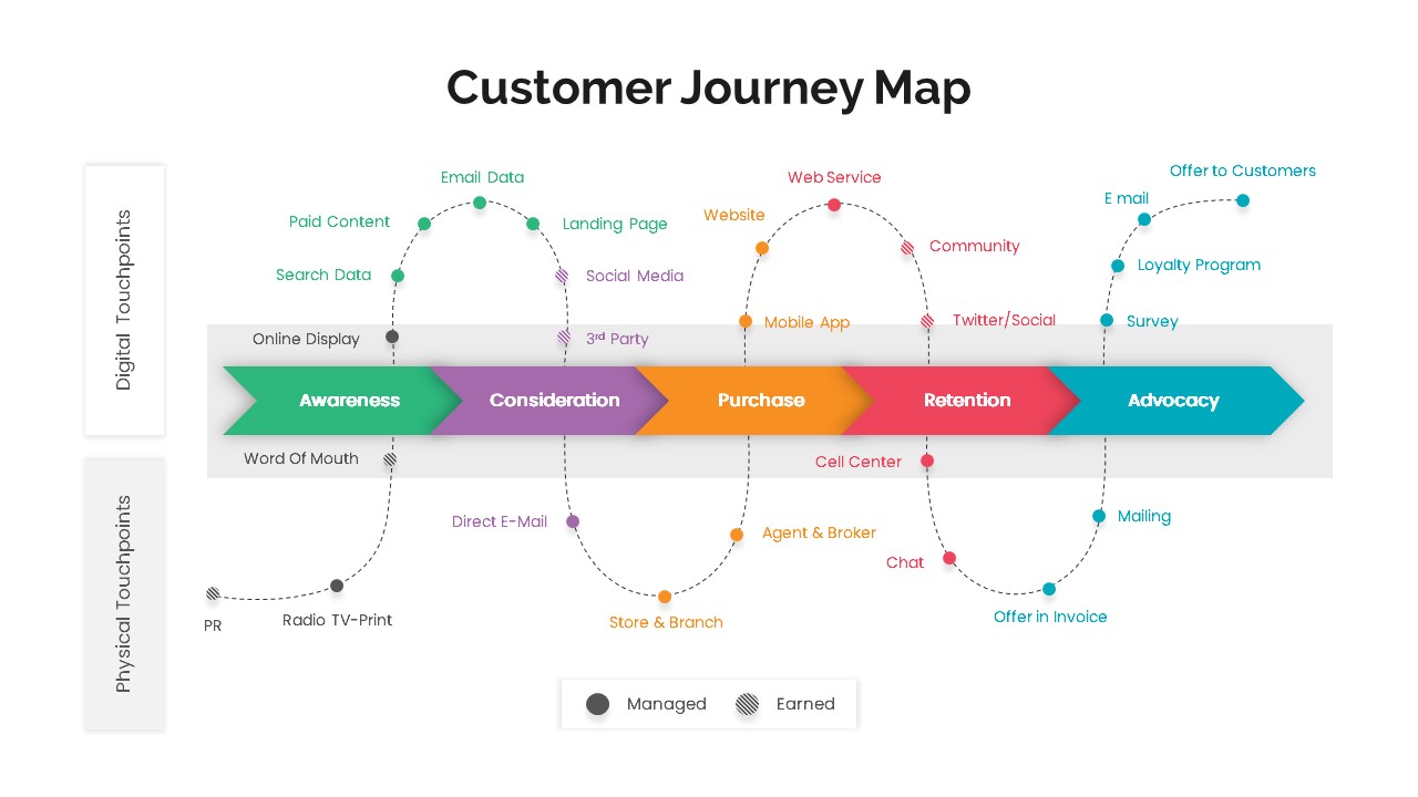
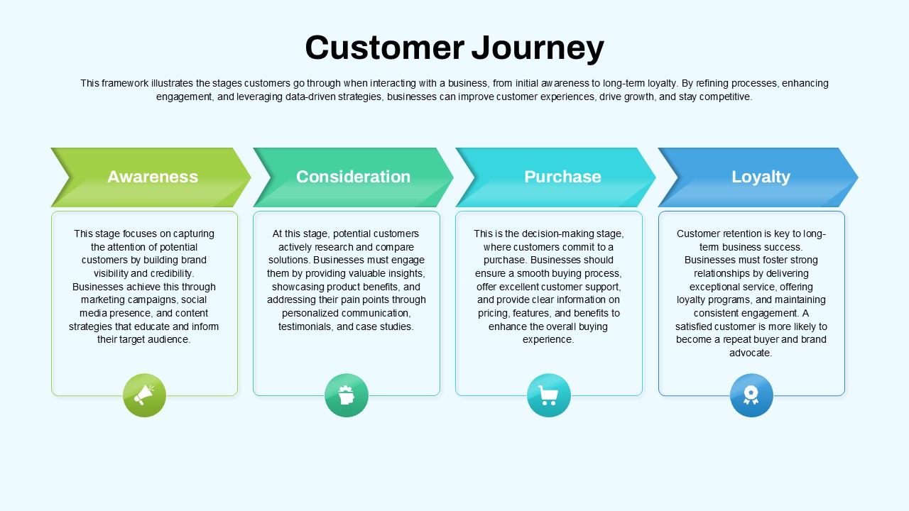
Emotional Customer Journey Map Template for PowerPoint & Google Slides
Customer Journey

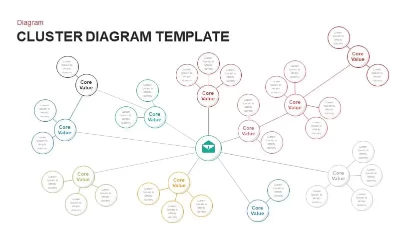
Multi-Cluster Mind Map Infographic Template for PowerPoint & Google Slides
Mind Maps
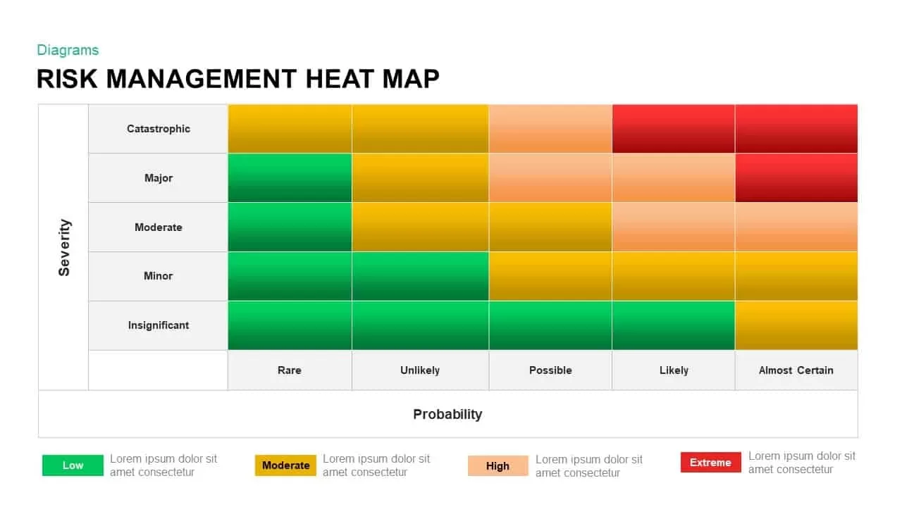
Risk Management Heat Map Diagram Template for PowerPoint & Google Slides
Comparison Chart
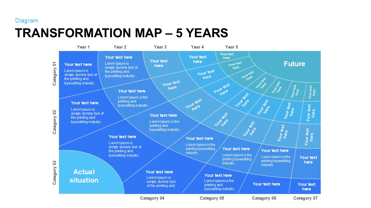
Five-Year Transformation Map Diagram Template for PowerPoint & Google Slides
Process

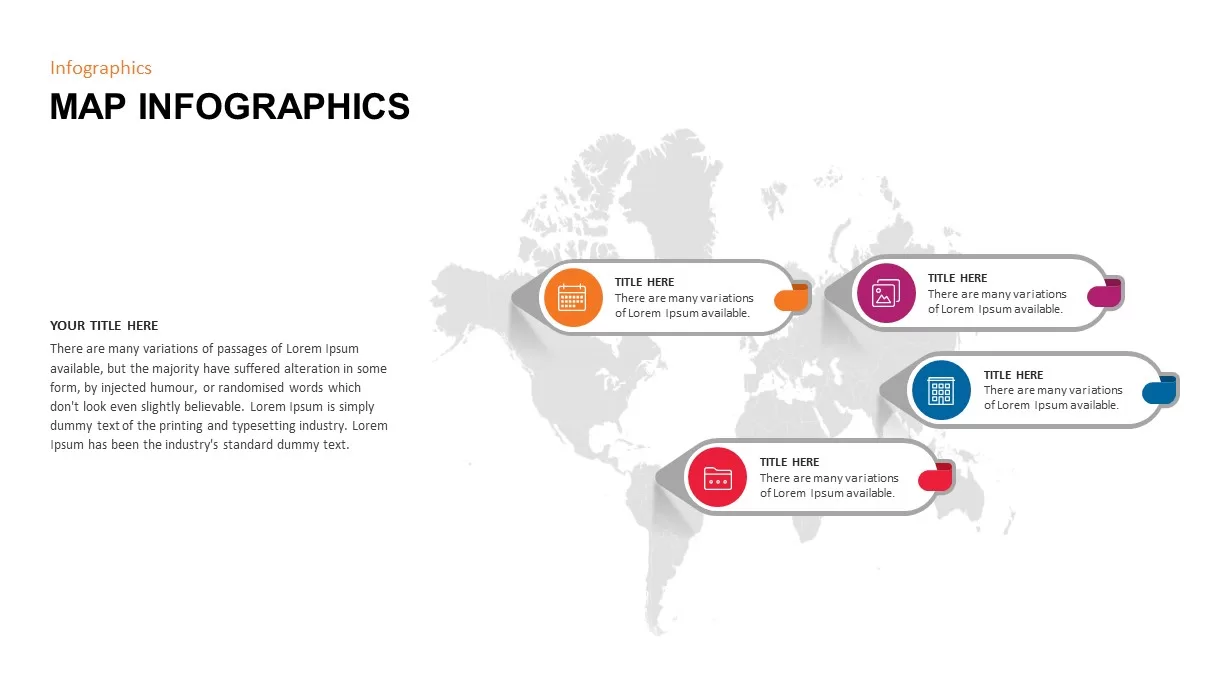
Modern World Map Callout Infographic Template for PowerPoint & Google Slides
World Maps
Eight-Node Mind Map Infographic Diagram Template for PowerPoint & Google Slides
Mind Maps
Interactive Empathy Map Diagram Template for PowerPoint & Google Slides
Process
Six-Stage Road Map Infographic Timeline Template for PowerPoint & Google Slides
Roadmap
Tri-Cluster Mind Map Infographic Template for PowerPoint & Google Slides
Mind Maps
Fully Editable World Map Infographic Template for PowerPoint & Google Slides
World Maps
Editable World Map Callout Infographic Template for PowerPoint & Google Slides
World Maps
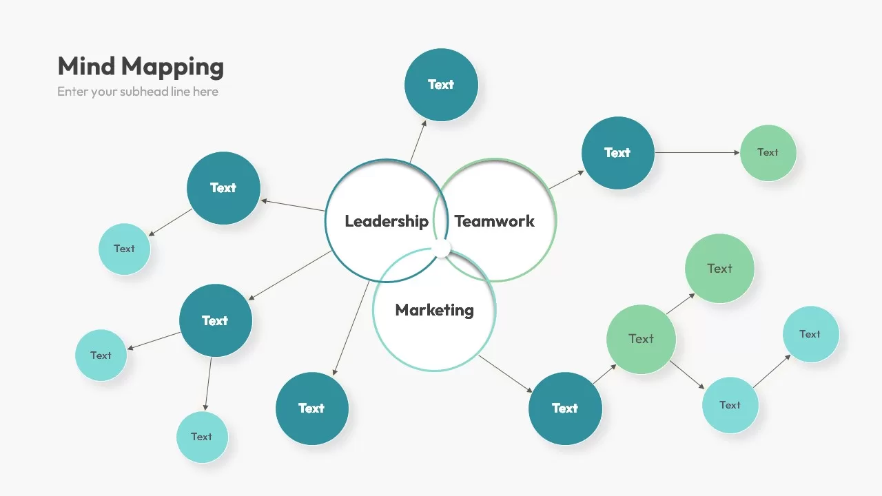
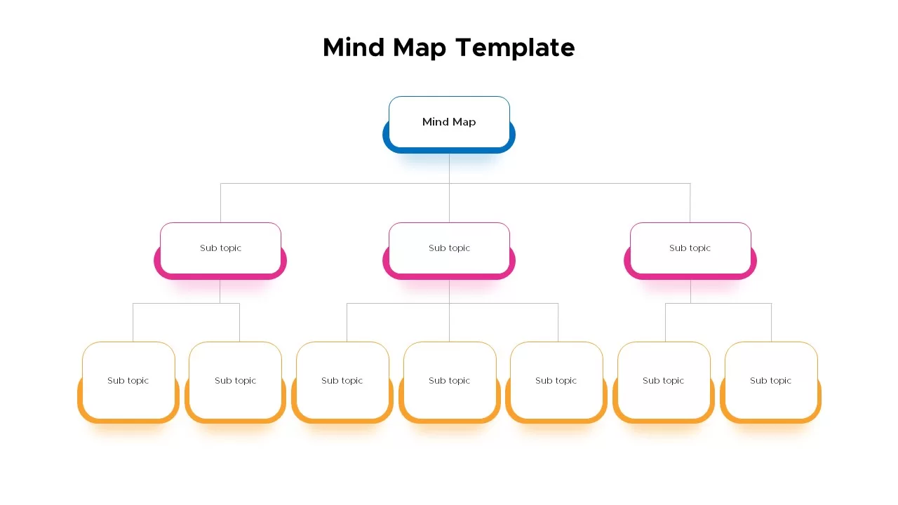
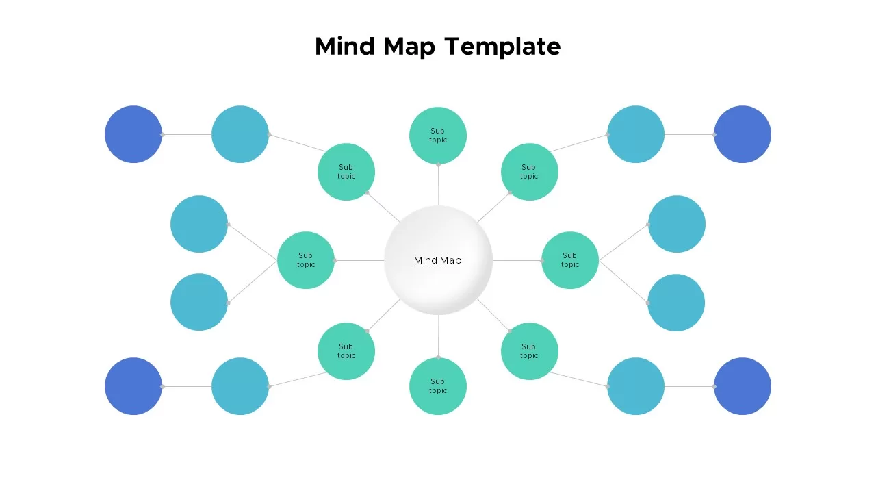
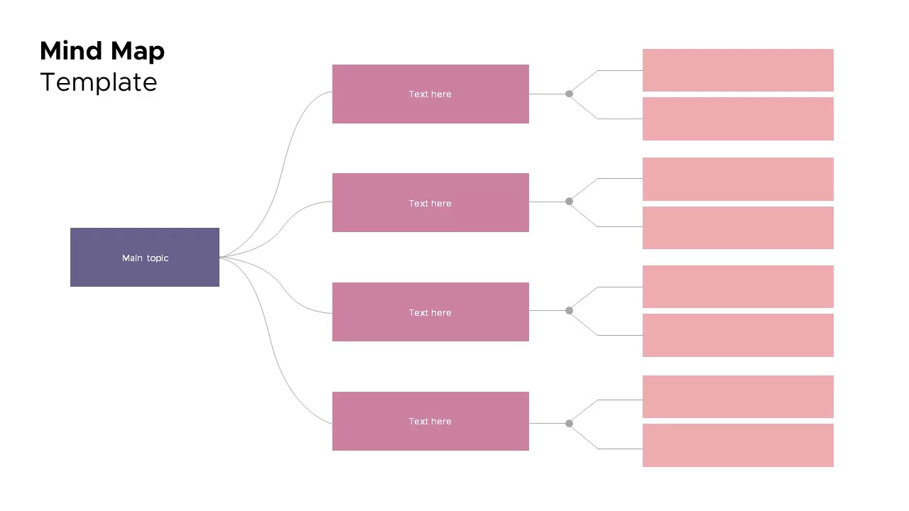
Mind Map Template for PowerPoint & Google Slides
Mind Maps
Colorful Mind Map Template for PowerPoint & Google Slides
Mind Maps
Colorful Mind Map Template for PowerPoint & Google Slides
Mind Maps
Circular Mind Map Template for PowerPoint & Google Slides
Mind Maps
Mind Map Template for PowerPoint & Google Slides
Mind Maps
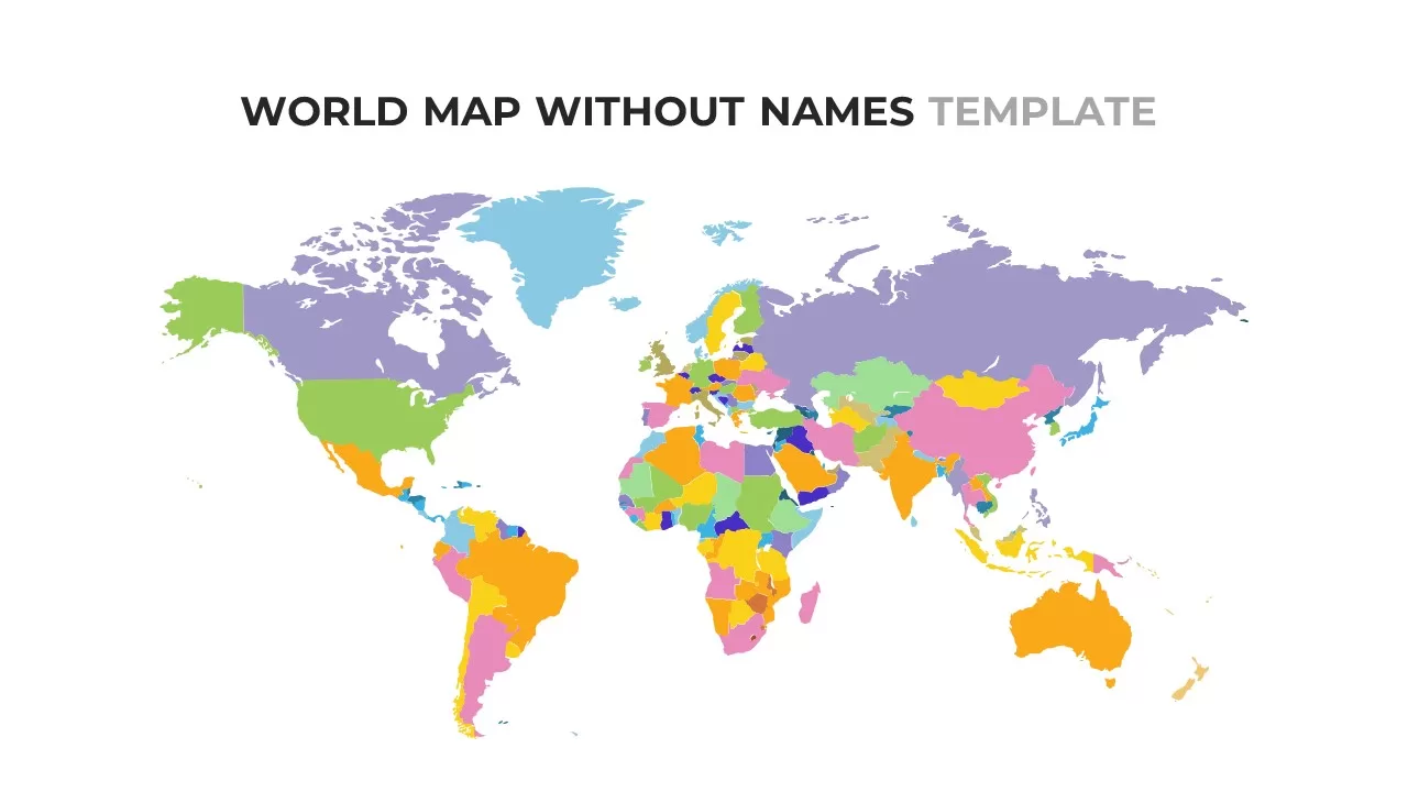
World Map Without Names Template for PowerPoint & Google Slides
World Maps
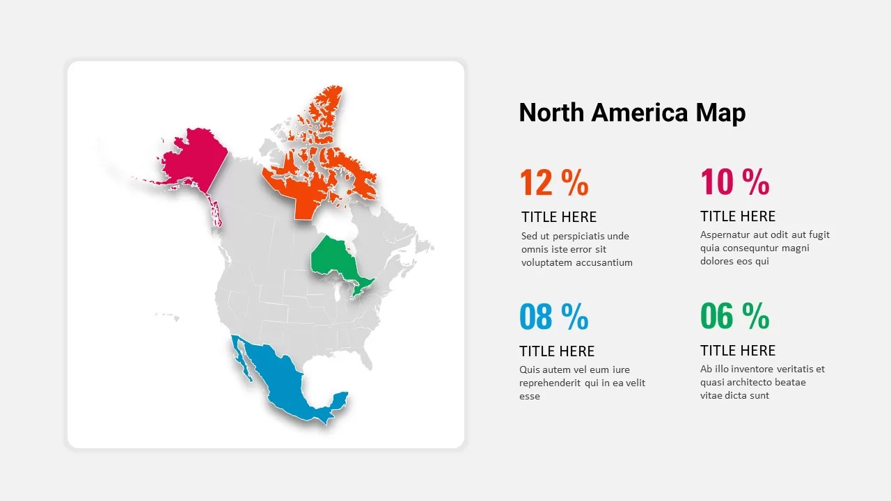
North America Percentage Map Infographic Template for PowerPoint & Google Slides
World Maps
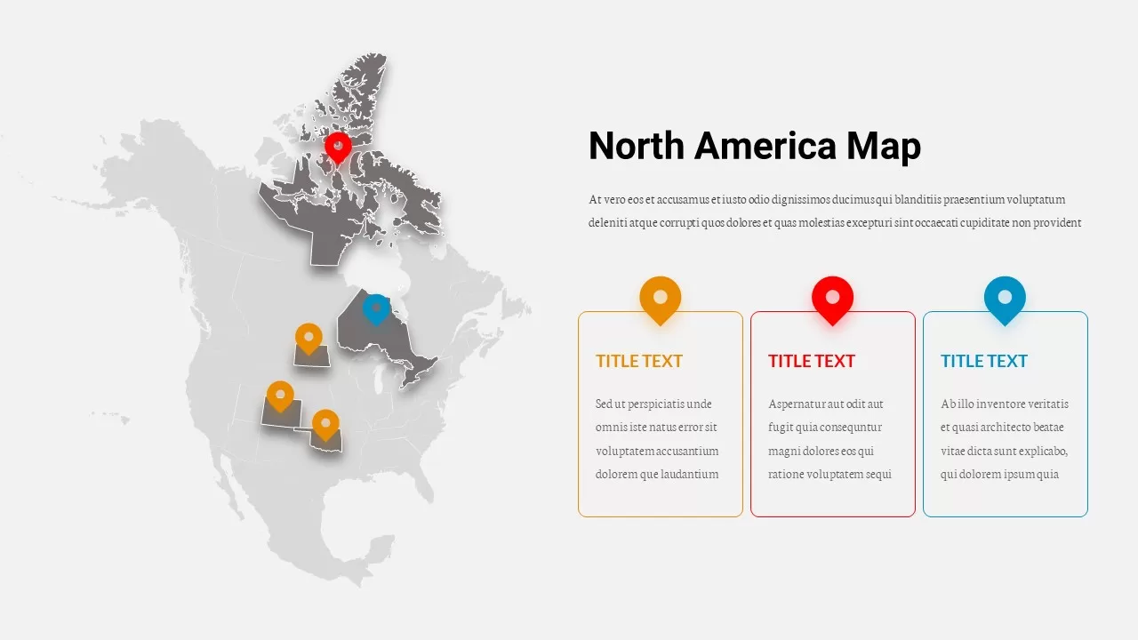
North America Location Pin Map Overview Template for PowerPoint & Google Slides
World Maps
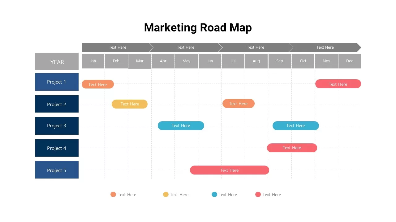
Marketing Projects Road Map Timeline Template for PowerPoint & Google Slides
Roadmap
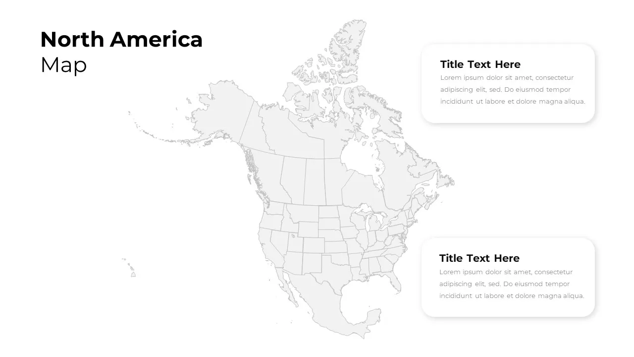
North America Regional Map Overview Template for PowerPoint & Google Slides
World Maps
North America Data Map Callouts Template for PowerPoint & Google Slides
World Maps
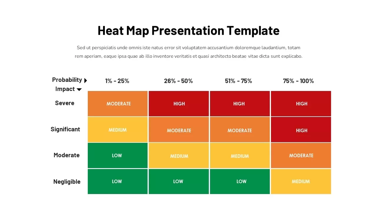
Heat Map Risk Assessment Presentation Template for PowerPoint & Google Slides
Risk Management
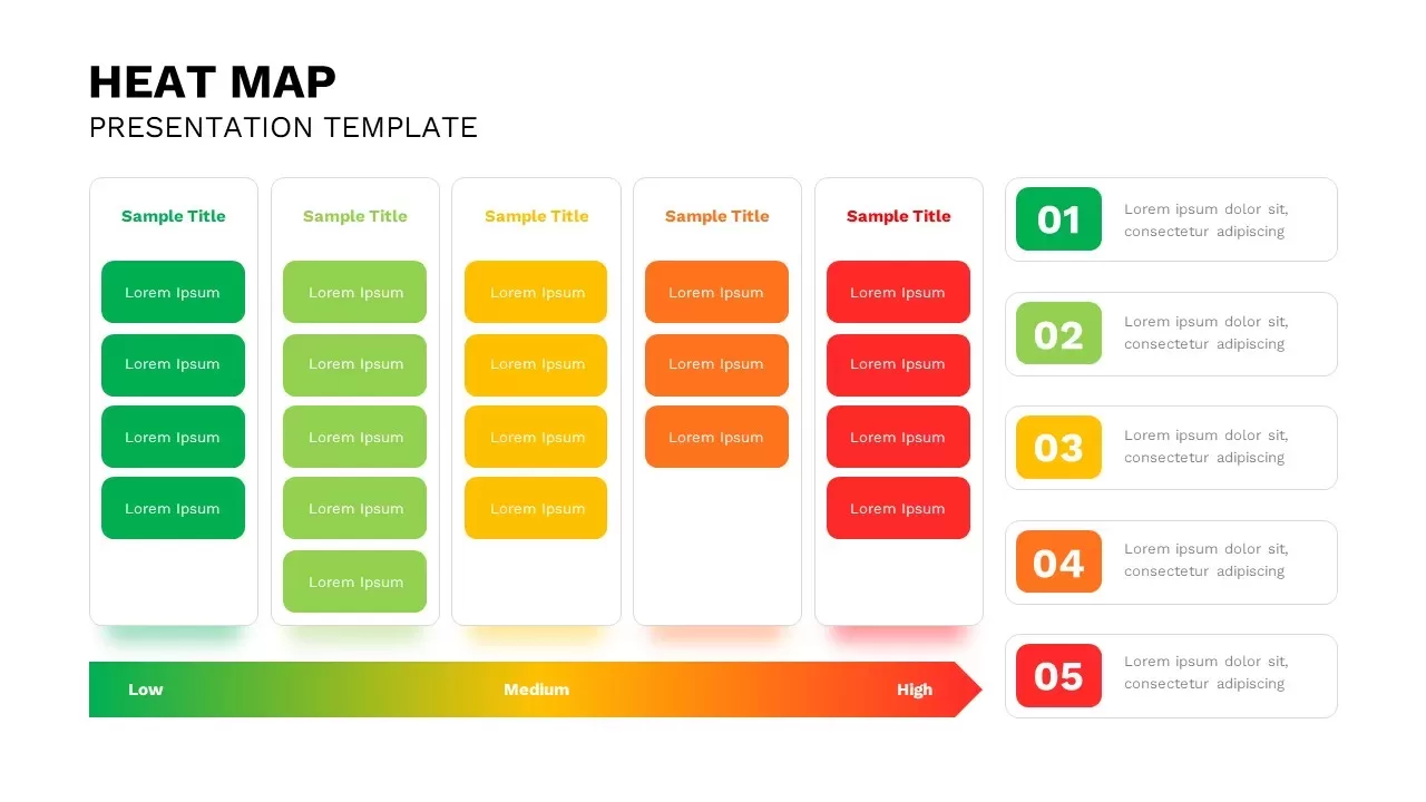
Professional Interactive Heat Map Matrix Template for PowerPoint & Google Slides
Comparison Chart
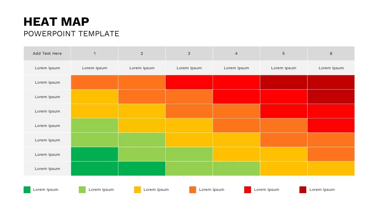
Interactive Heat Map Template for PowerPoint & Google Slides
Bar/Column
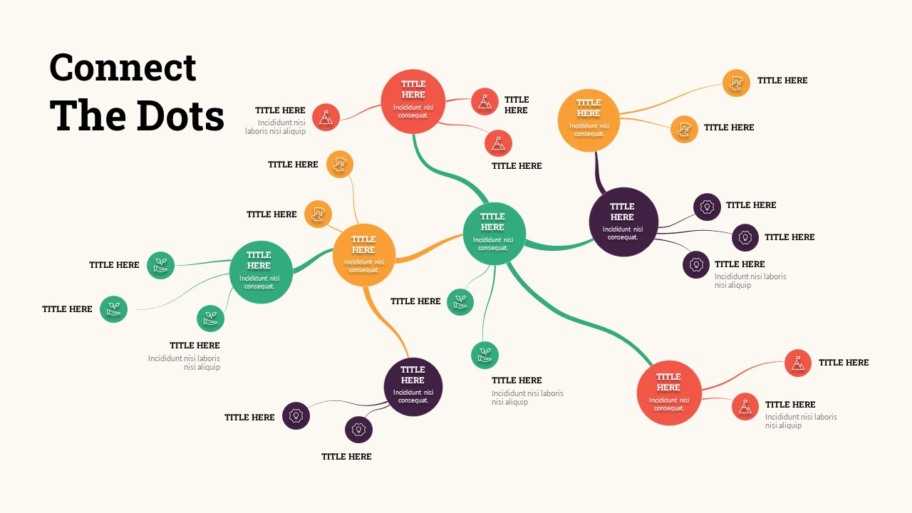
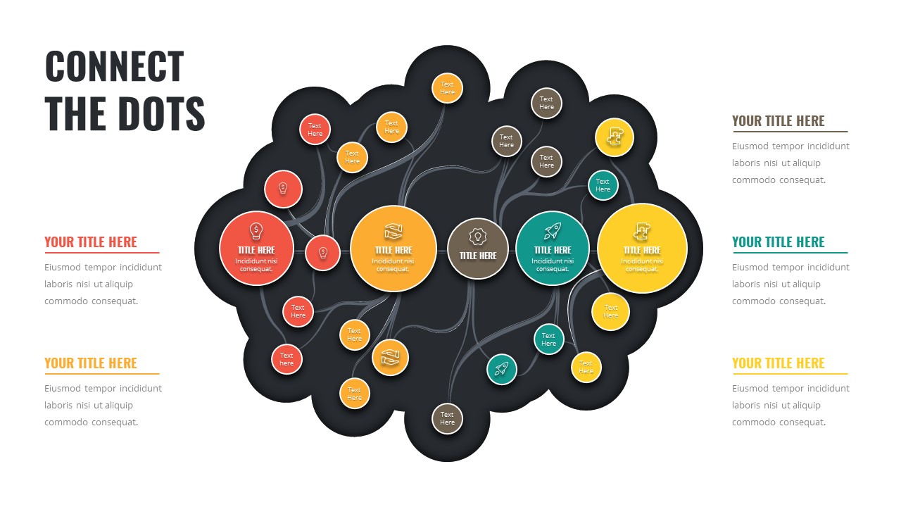
Connect the Dots Mind Map template for PowerPoint & Google Slides
Mind Maps
Connect the Dots Mind Map Diagram Template for PowerPoint & Google Slides
Mind Maps
Versatile Customer Journey Map Template for PowerPoint & Google Slides
Customer Journey
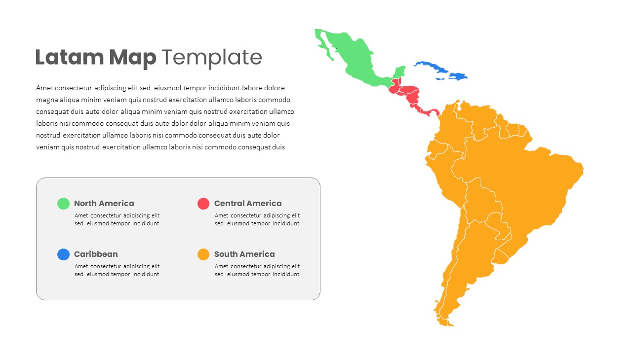
Latin America Regional Map Breakdown Template for PowerPoint & Google Slides
World Maps
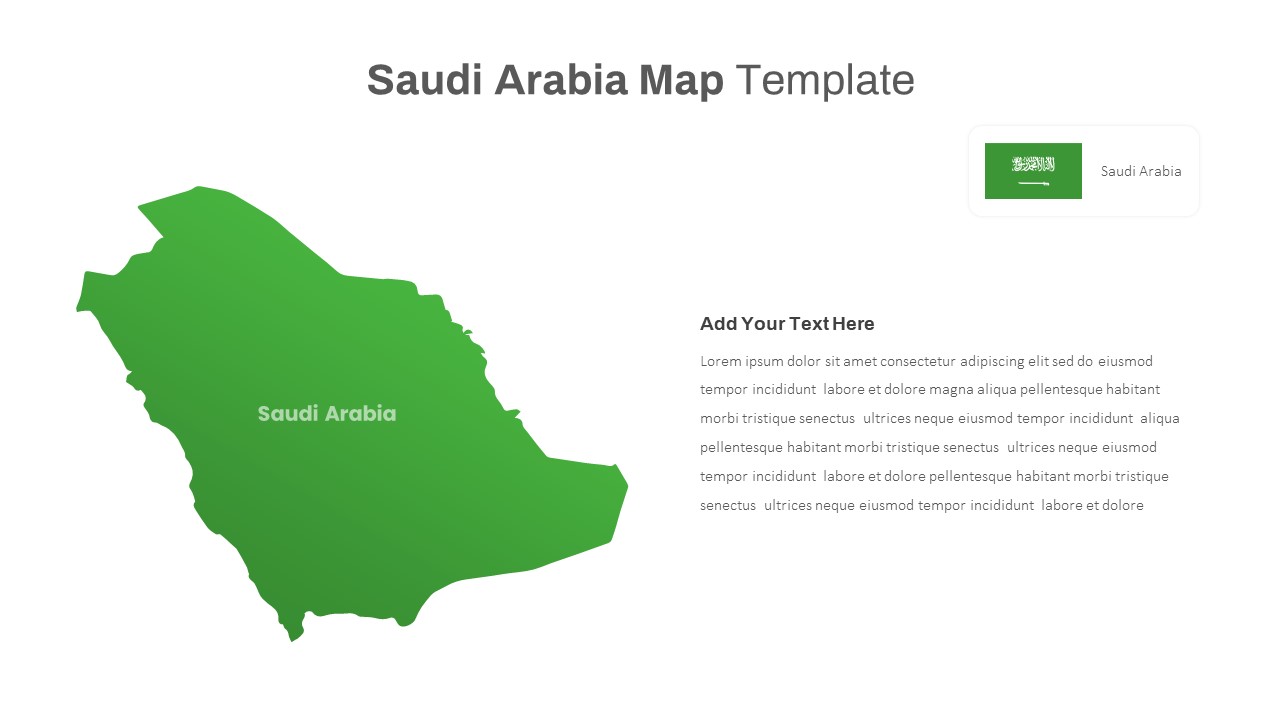
Free Editable Saudi Arabia Map Template for PowerPoint & Google Slides
World Maps
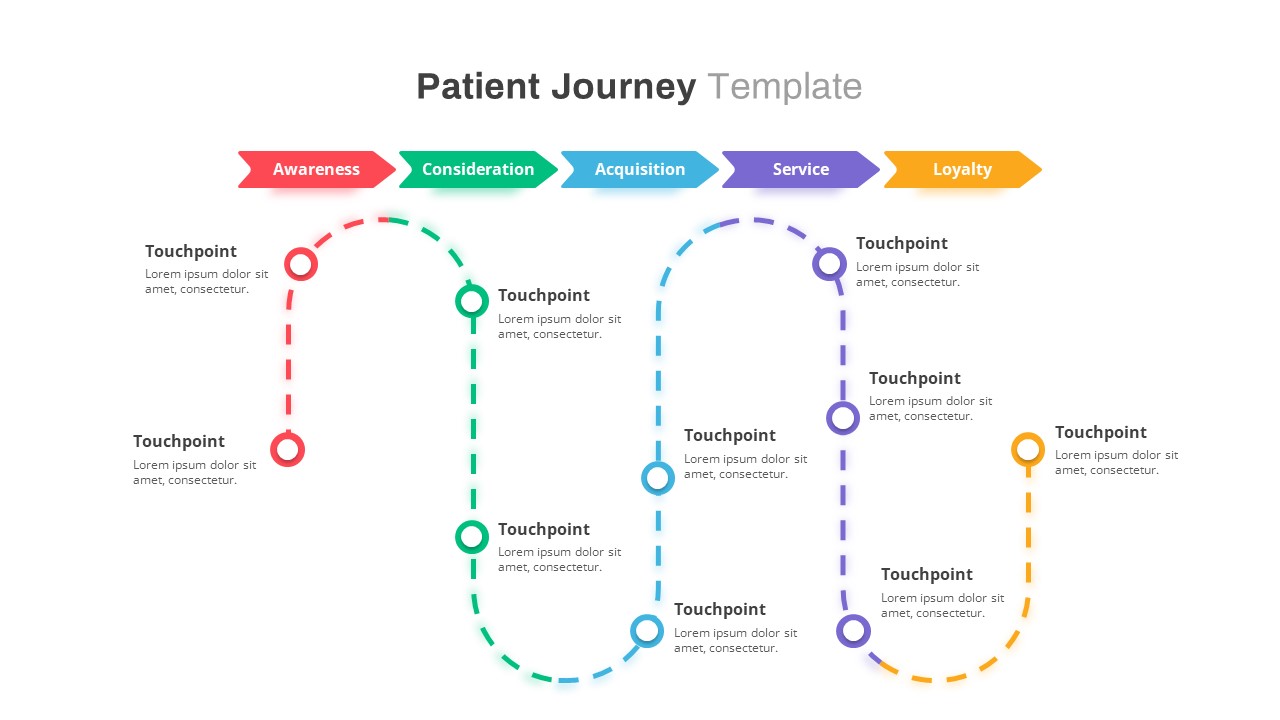
Healthcare Patient Journey Map Overview Template for PowerPoint & Google Slides
Health
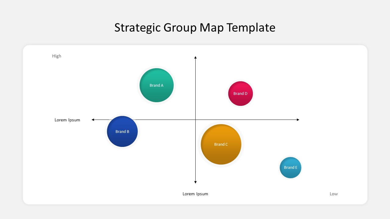
Business Strategic Group Map Analysis Template for PowerPoint & Google Slides
Competitor Analysis
Free
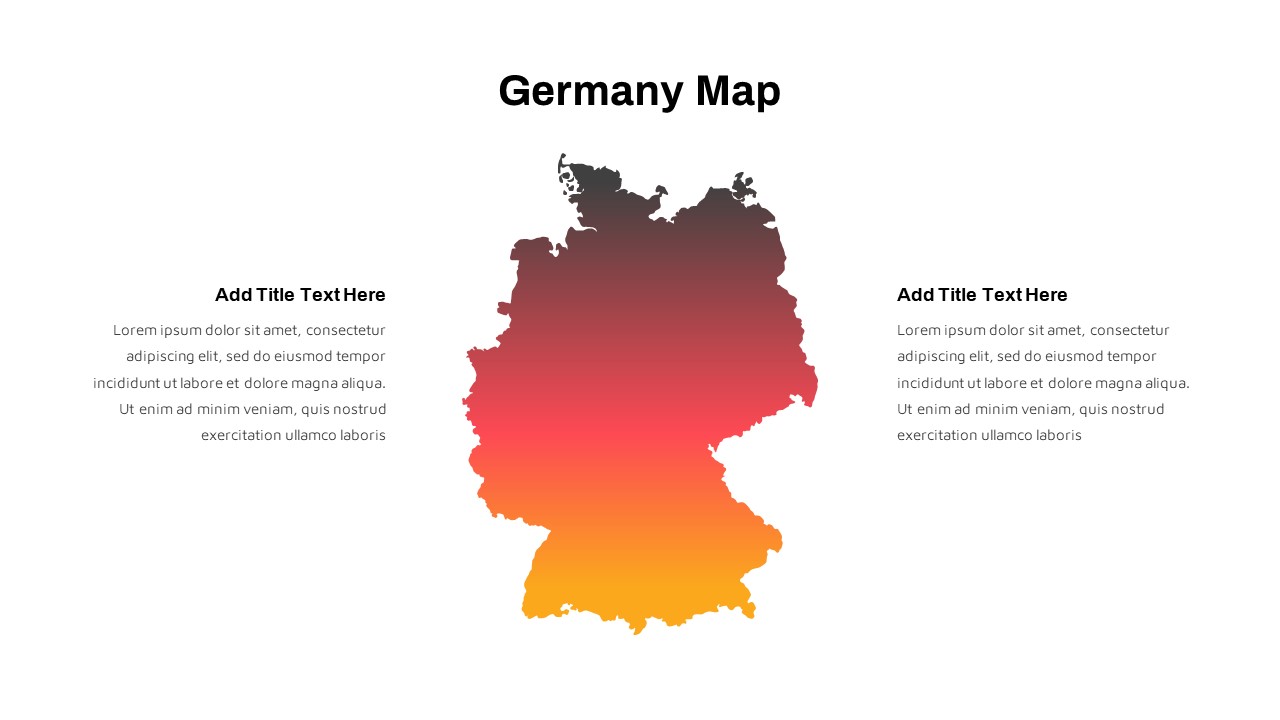
Germany Map with Regional Callouts Template for PowerPoint & Google Slides
World Maps
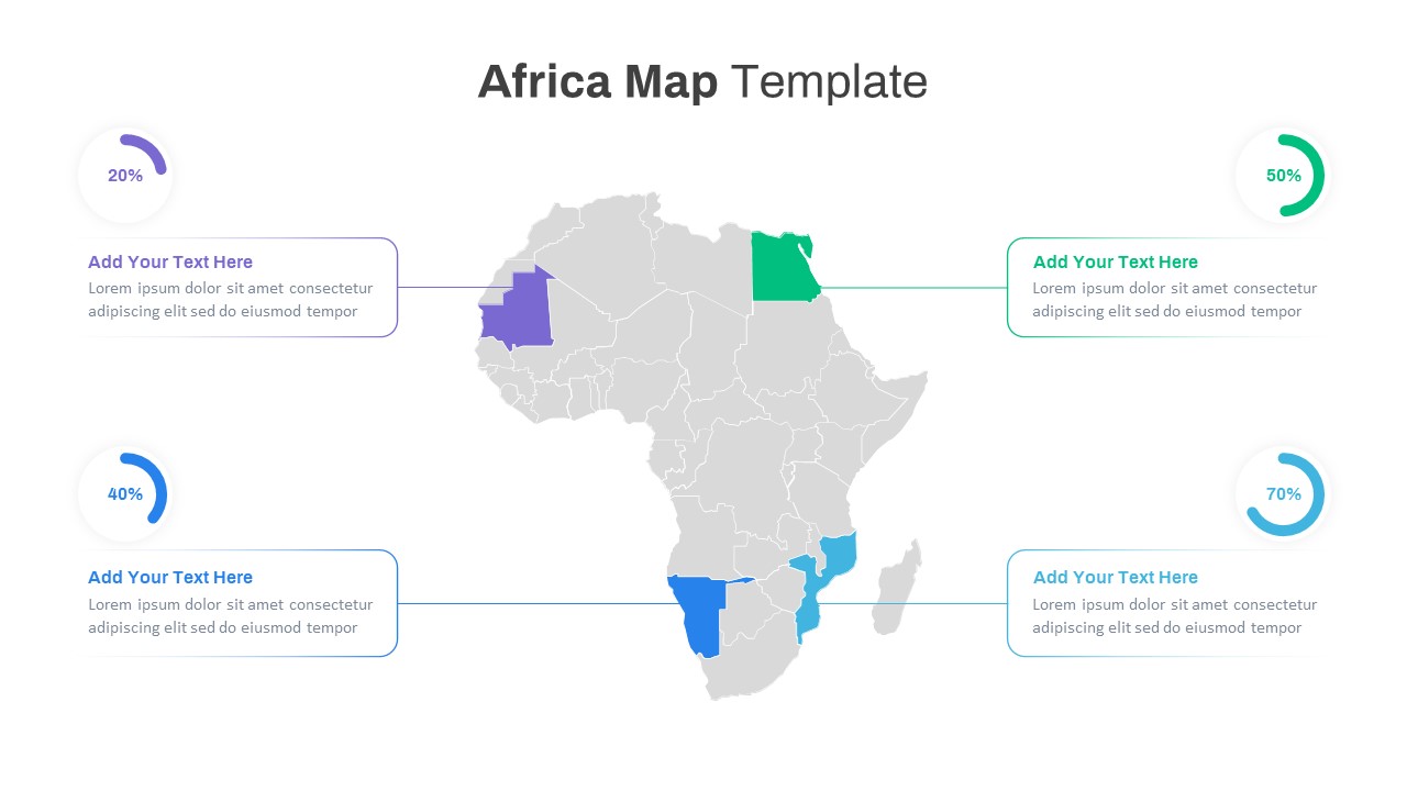
Editable Africa Map Infographic Data Template for PowerPoint & Google Slides
World Maps
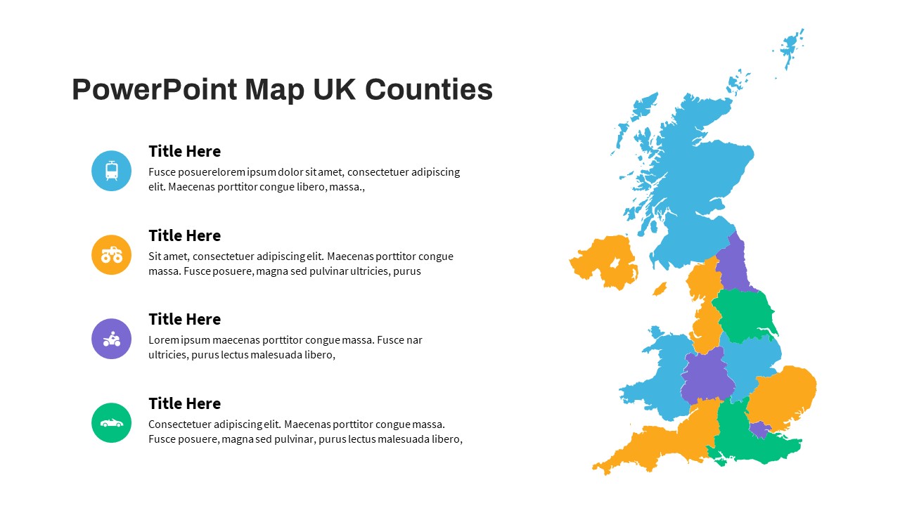
UK Counties Map Data Visualization Template for PowerPoint & Google Slides
World Maps
Colorful World Map with Location Pins Template for PowerPoint & Google Slides
World Maps
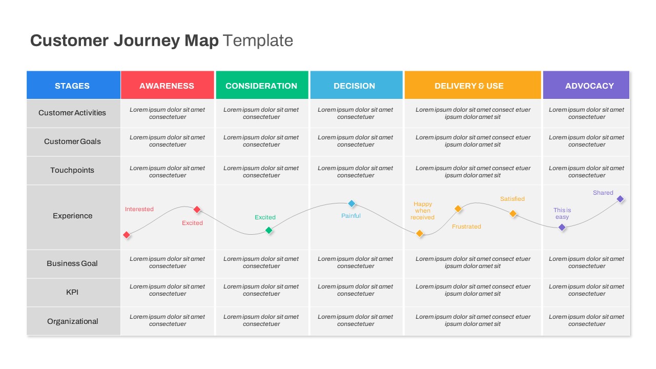
Comprehensive Customer Journey Map Template for PowerPoint & Google Slides
Customer Journey
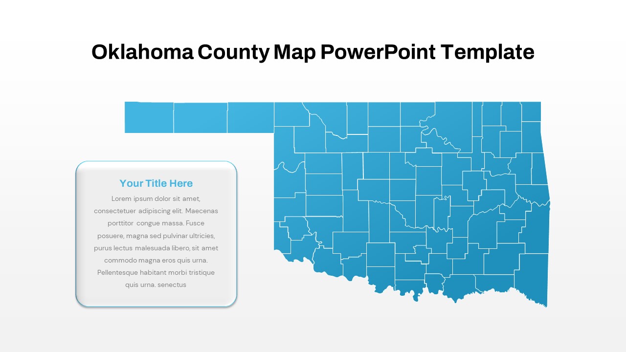
Interactive Oklahoma County Map Template for PowerPoint & Google Slides
World Maps
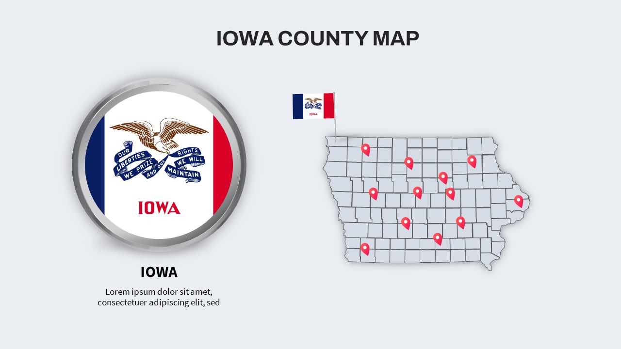
Iowa County Map with Location Markers Template for PowerPoint & Google Slides
World Maps
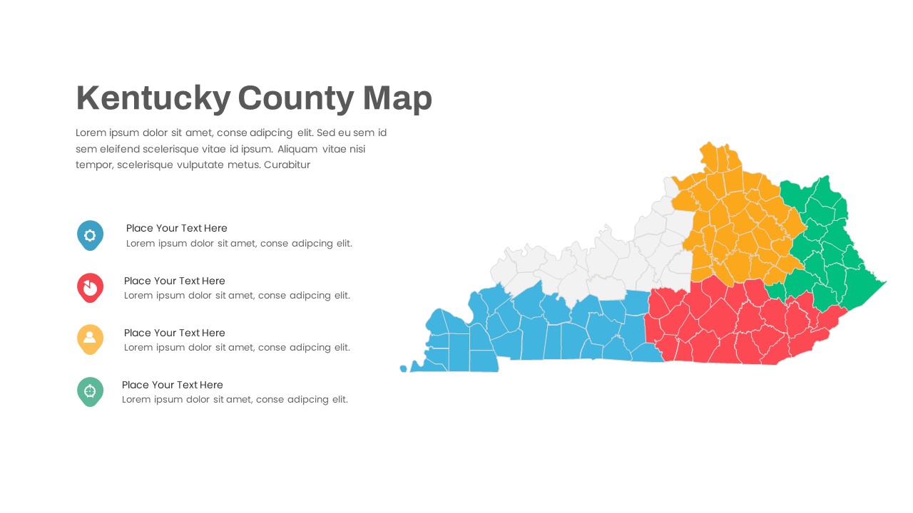
Kentucky County Map Visualization Template for PowerPoint & Google Slides
World Maps
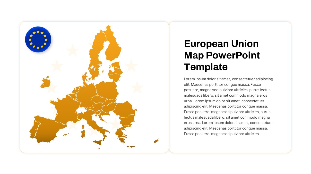
European Union Map Infographic Template for PowerPoint & Google Slides
World Maps
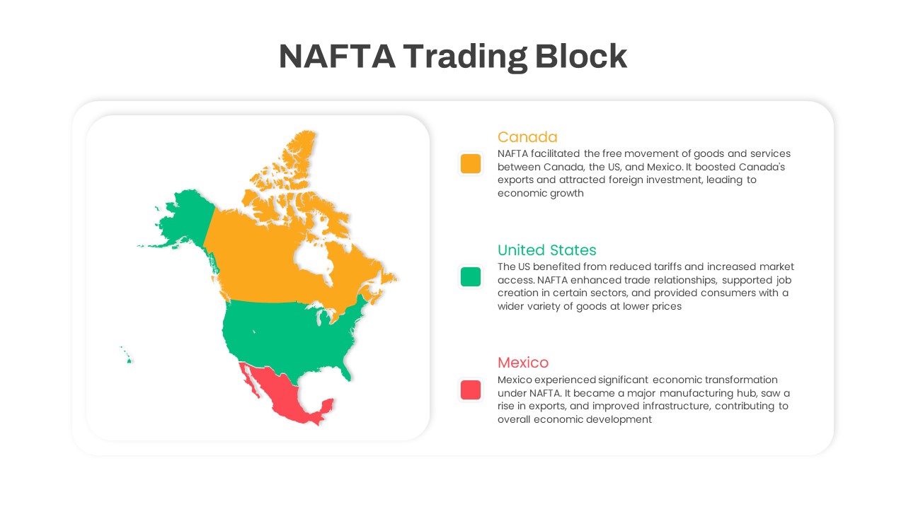
NAFTA Trading Block Map Infographic Template for PowerPoint & Google Slides
World Maps
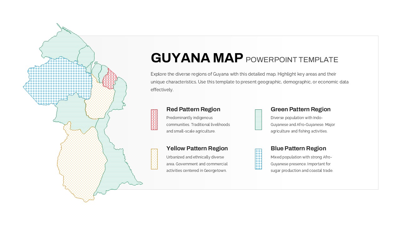
Patterned Guyana Regional Map Template for PowerPoint & Google Slides
World Maps
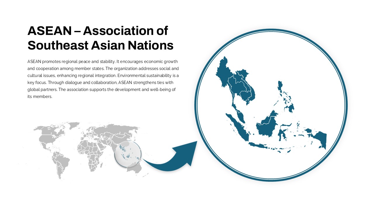
Professional ASEAN Region Zoom Map Slide Template for PowerPoint & Google Slides
World Maps
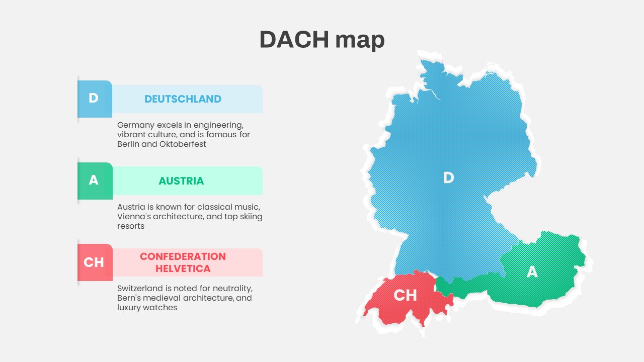
DACH Region Map with Country Highlights Template for PowerPoint & Google Slides
Maps
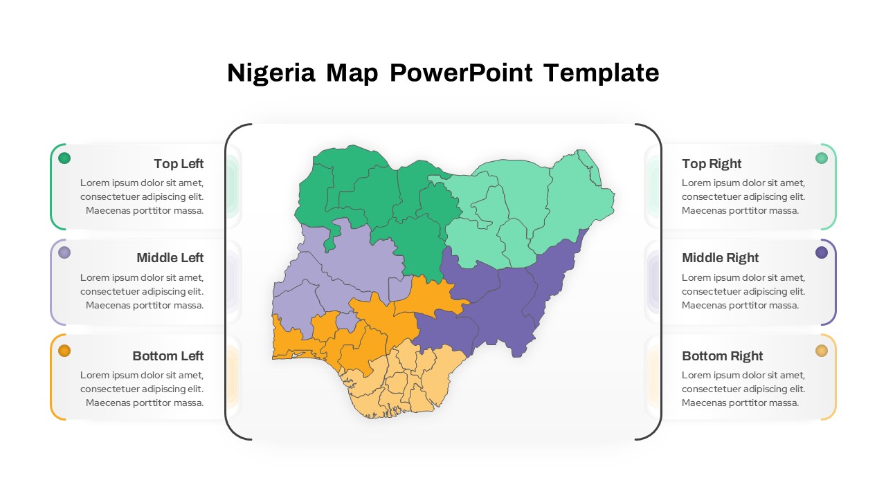
Nigeria Regional Callout Map Diagram Template for PowerPoint & Google Slides
Maps
Customer Journey Process Map Infographic Template for PowerPoint & Google Slides
Customer Journey
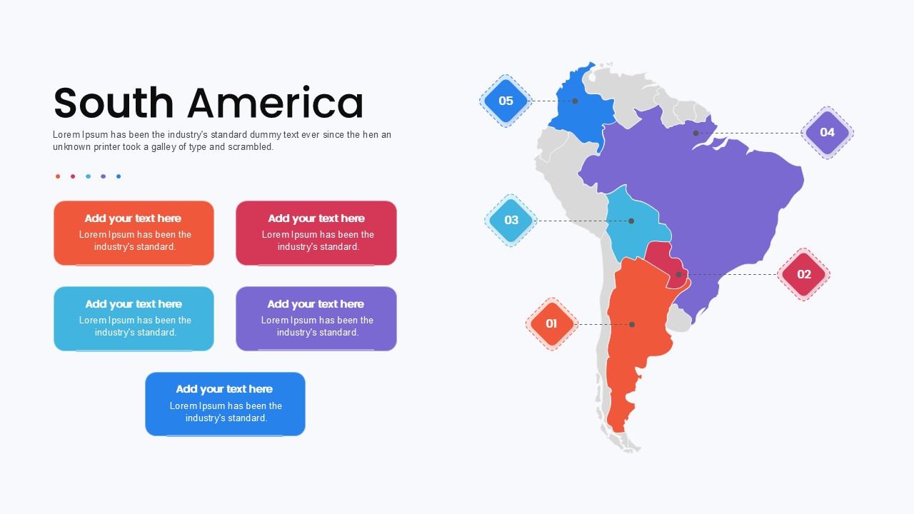
South America Map template for PowerPoint & Google Slides
Maps
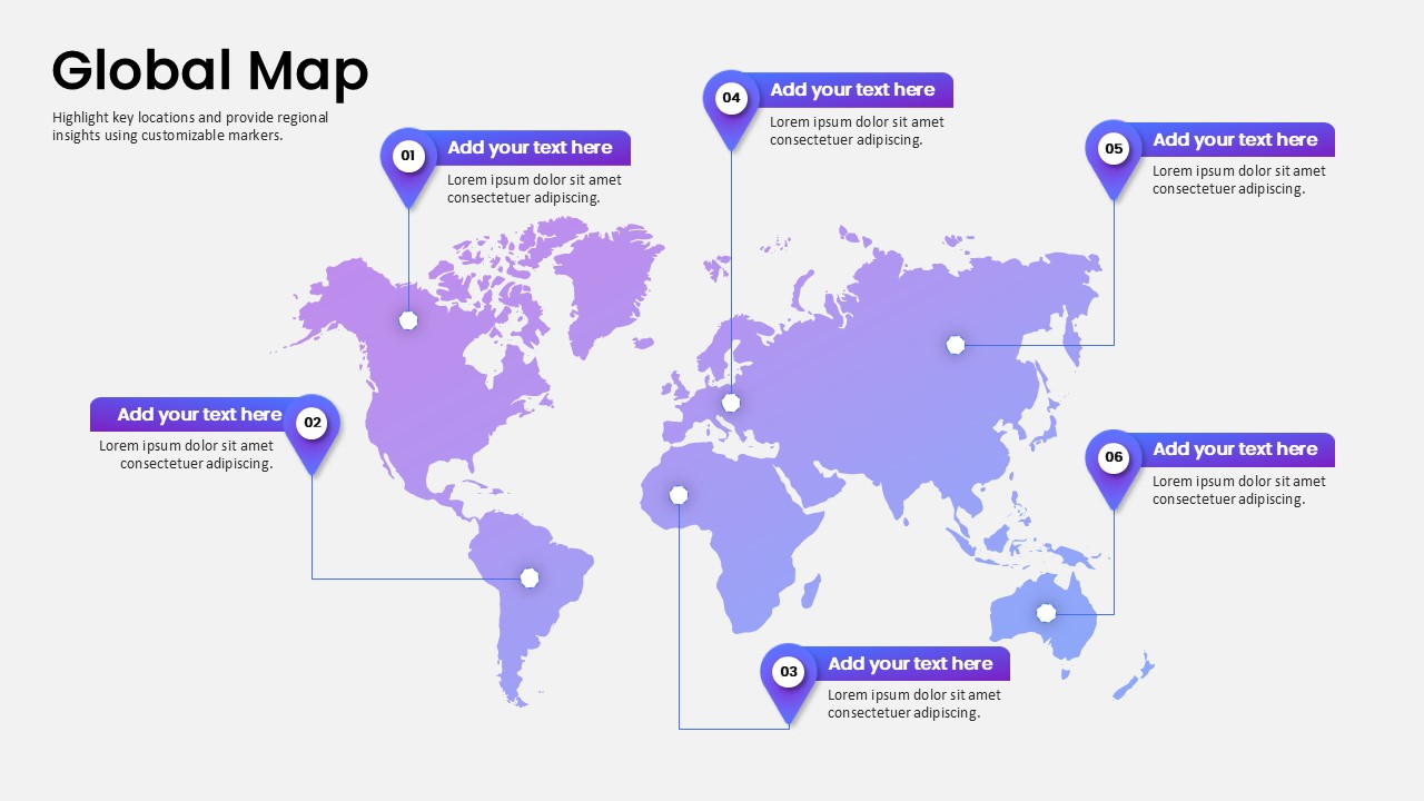
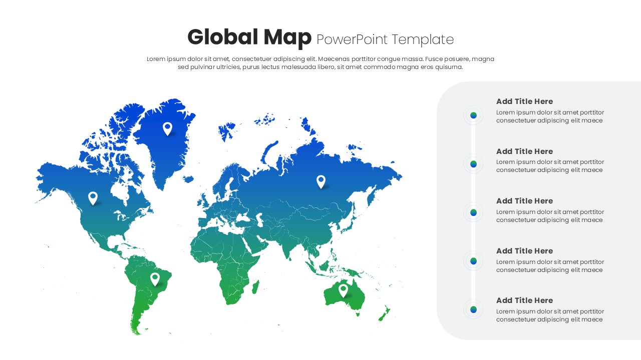
Global Map Highlighting Key Locations template for PowerPoint & Google Slides
World Maps
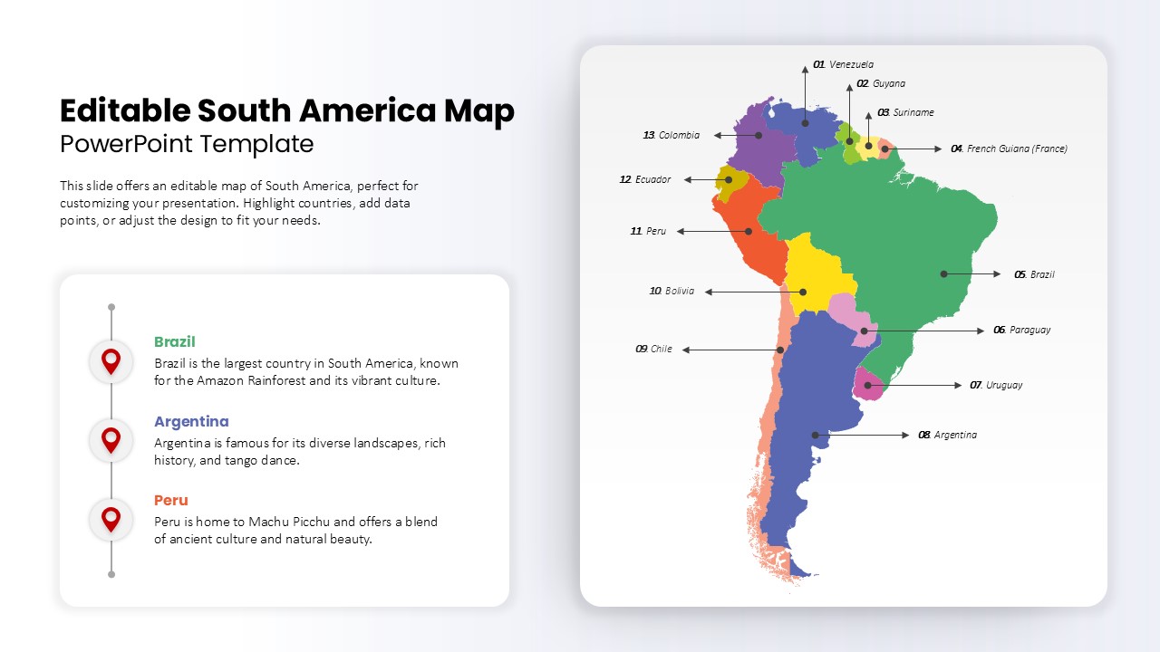
Editable South America Map Diagram Template for PowerPoint & Google Slides
Maps
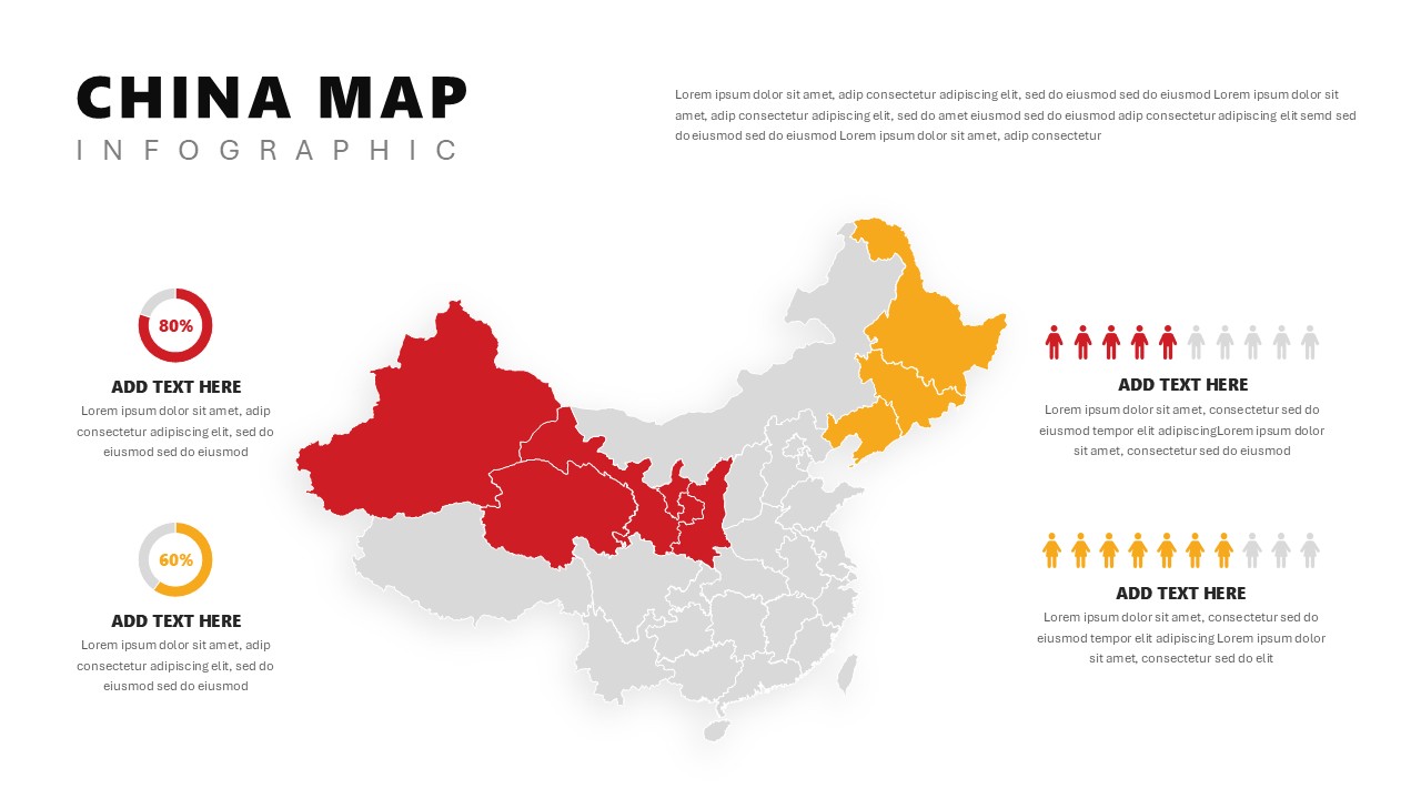
China Map Infographic Regional Stats Template for PowerPoint & Google Slides
World Maps
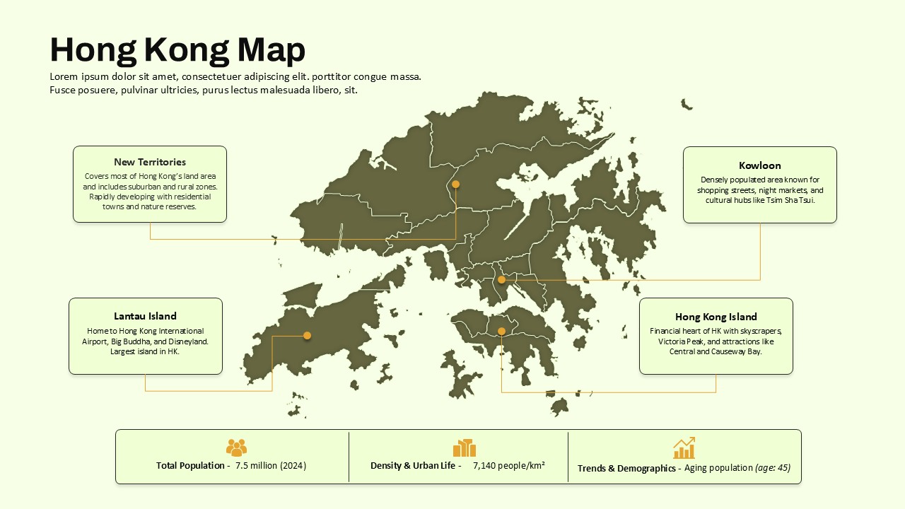
Hong Kong Geographic Map Infographic Template for PowerPoint & Google Slides
World Maps
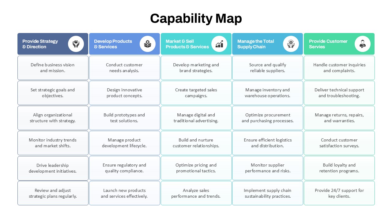
Capability Map Overview Template for PowerPoint & Google Slides
Business Strategy
Employee Journey Map with Stages template for PowerPoint & Google Slides
Recruitment
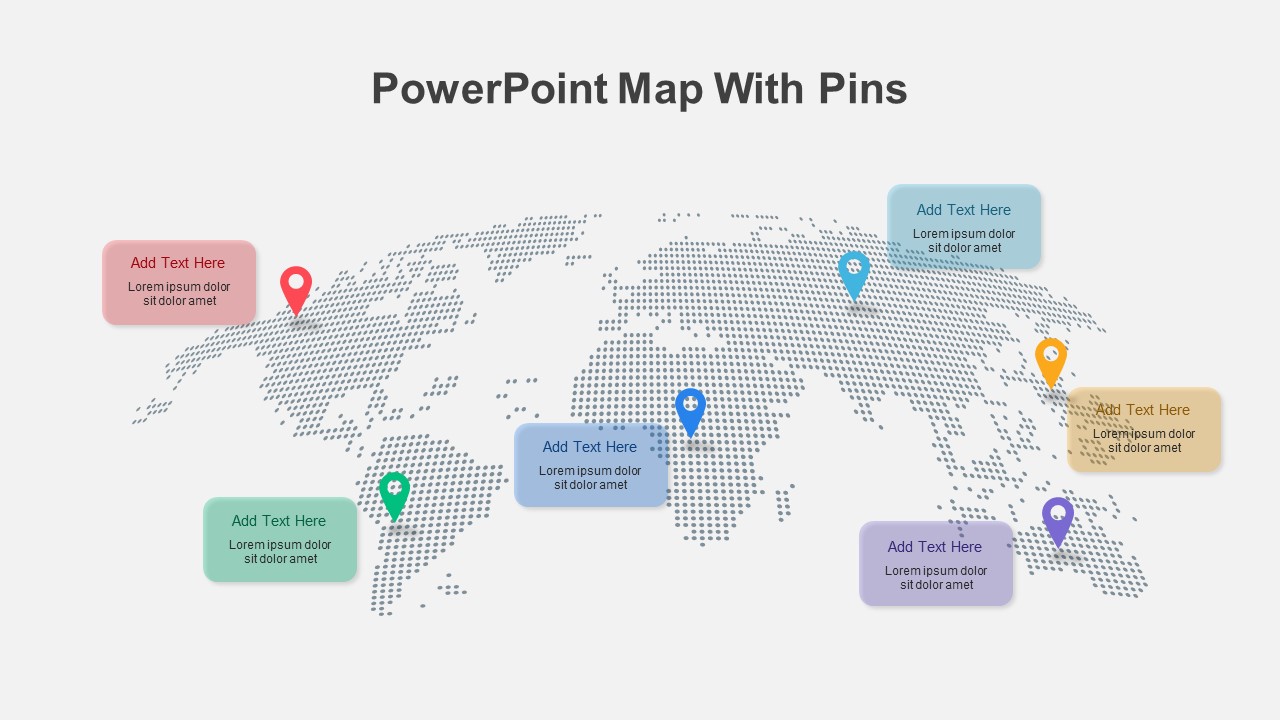
Global Map with Pinpoint Markers template for PowerPoint & Google Slides
Business
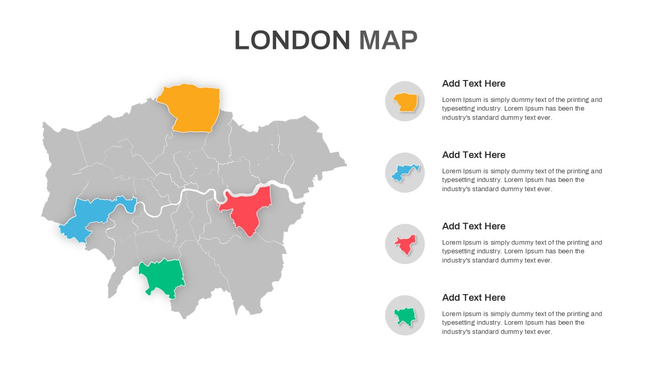
London Map with Highlighted Boroughs Template for PowerPoint & Google Slides
World Maps
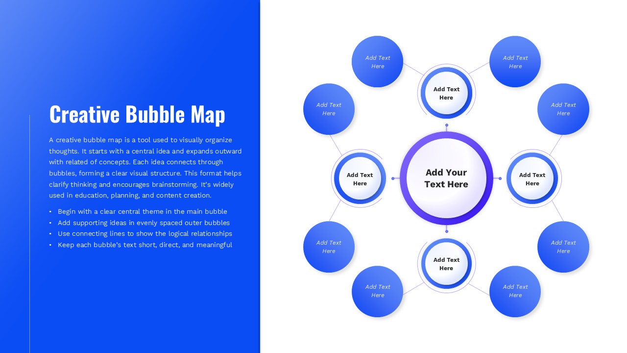
Creative Bubble Mind Map Template for PowerPoint & Google Slides
Mind Maps