Kentucky County Map Visualization Template for PowerPoint & Google Slides


Description
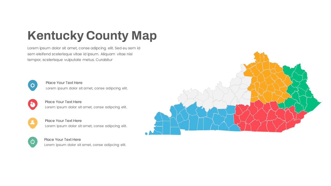
This Kentucky County Map Visualization Slide features a detailed outline of the state divided into county boundaries and color-coded into five distinct regions. Each region is filled with a bold hue—blue, red, green, yellow, and neutral gray for unhighlighted counties—creating instant visual segmentation. On the left, a vertical list of four circular icon placeholders aligned with text fields lets you call out key county-level insights, such as demographic data, resource metrics, or sales performance. Clean sans-serif headings, subtle connector lines, and generous white space ensure readability and a modern aesthetic, while an optional legend area can be toggled on or off to suit your storytelling needs.
Built on master slides for both PowerPoint and Google Slides, every element is fully editable: swap icons, adjust region colors, replace the map outline with custom shapes, modify placeholder text, and apply your brand fonts in seconds. Vector-based graphics maintain full-resolution clarity on large screens, and masked grouping preserves layout integrity when resizing. Pre-built color themes and icon sets let you align the design seamlessly with your corporate identity, while smart guides and alignment snaps guarantee pixel-perfect consistency across all slides.
Ideal for regional sales analysis, market segmentation, public policy presentations, and educational workshops, this slide accelerates your ability to communicate geographic data. Use it to highlight demographic trends, resource allocation, new branch locations, or emergency response planning. Duplicate the layout to create side-by-side comparisons of different states, export individual map sections for social media graphics, or integrate with other infographics to enrich dashboards. With customizable placeholders and coherent styling controls, you can maintain visual cohesion across an entire deck and eliminate version-control headaches between platforms.
Who is it for
Regional planners, sales managers, economic development teams, and government officials will benefit from this county map slide when presenting localized data and strategic insights. Marketing analysts, academic researchers, and nonprofit coordinators can also leverage its clear, color-coded regions for community outreach and reporting.
Other Uses
Repurpose this template to display electoral results, public health statistics, school district performance, or utility coverage. Adapt icon callouts to compare infrastructure projects, population density, tourism hotspots, or environmental impact zones, making it a versatile asset for any county-level presentation.
Login to download this file

Item ID
SB04219
Related Templates

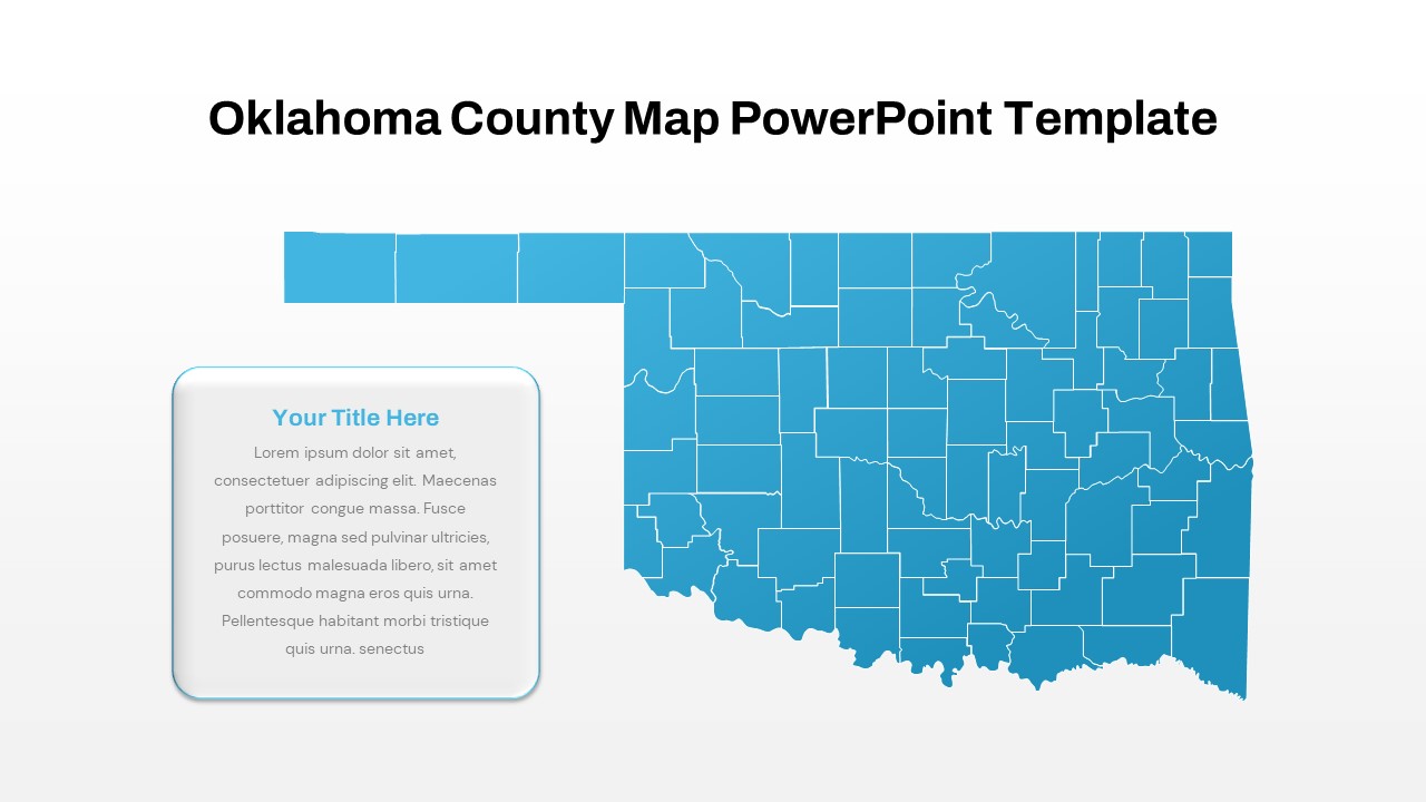
Interactive Oklahoma County Map Template for PowerPoint & Google Slides
World Maps
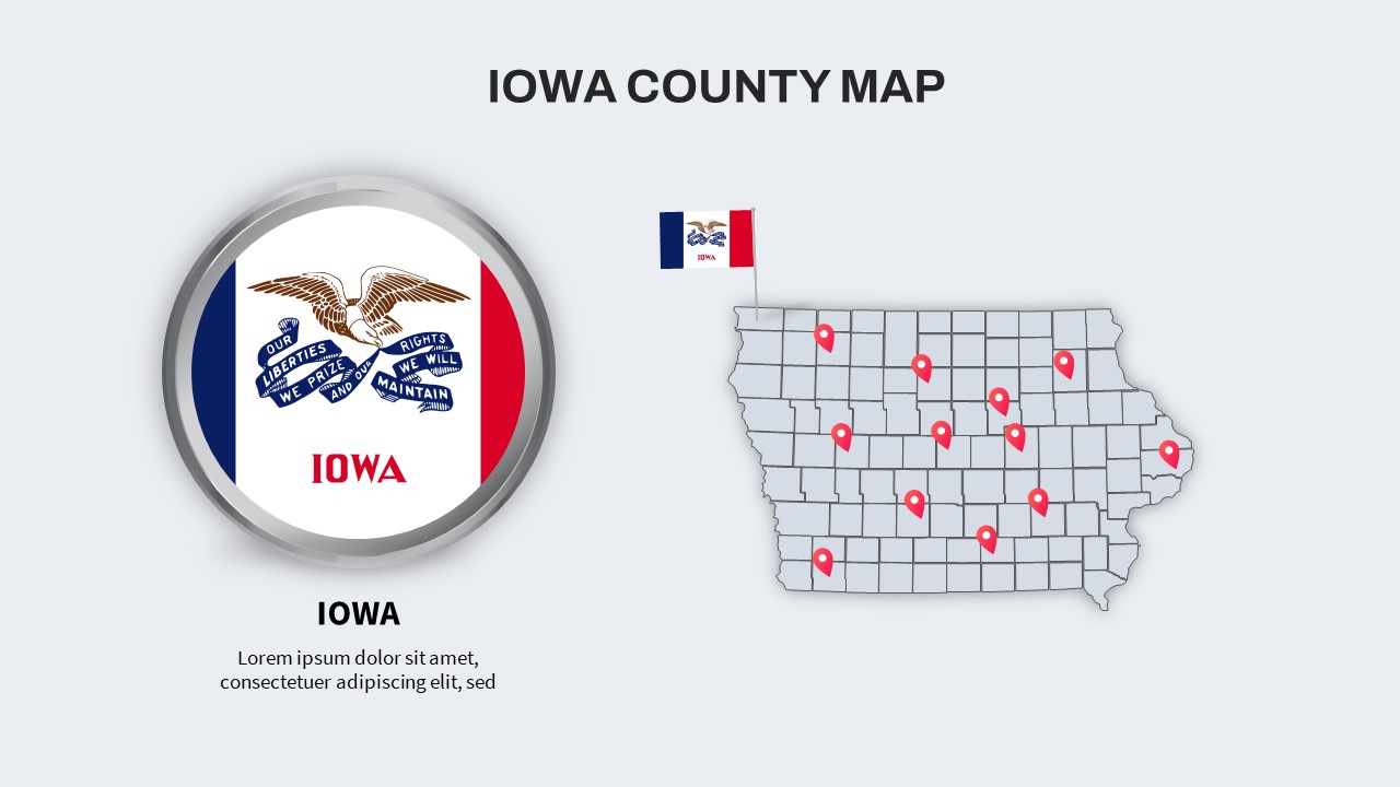
Iowa County Map with Location Markers Template for PowerPoint & Google Slides
World Maps
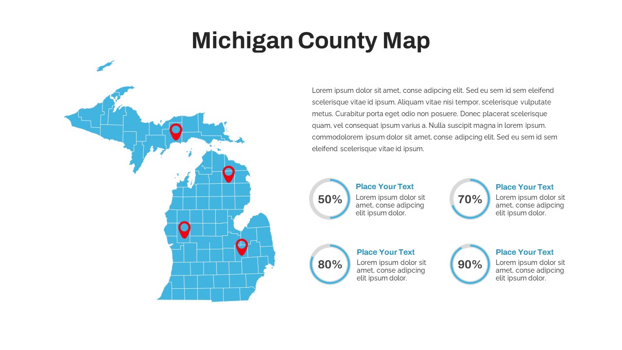
Michigan County Map with KPI Dashboard Template for PowerPoint & Google Slides
World Maps
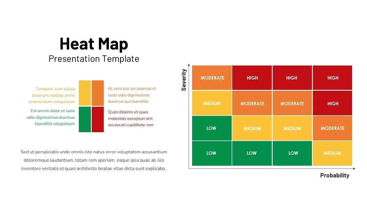
Professional Risk Heat Map Visualization Template for PowerPoint & Google Slides
Risk Management
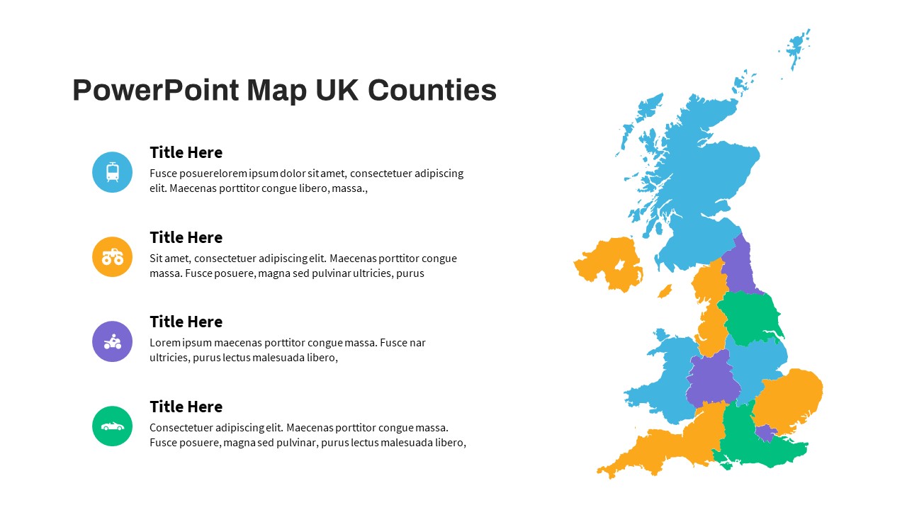
UK Counties Map Data Visualization Template for PowerPoint & Google Slides
World Maps
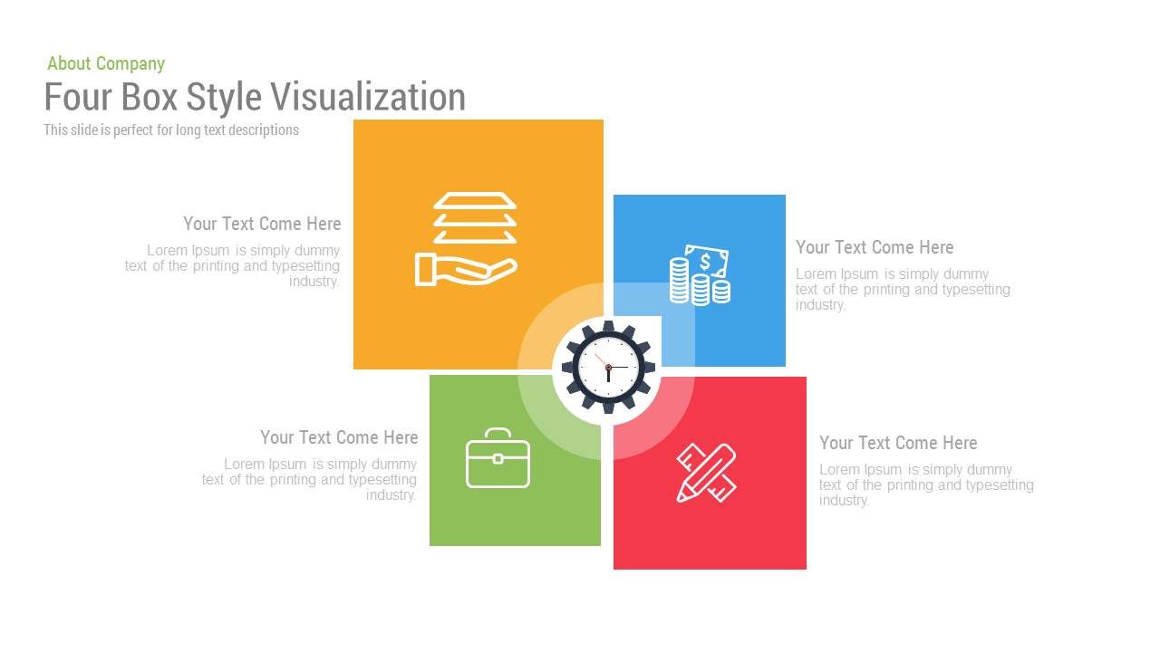
Free Four Box Style Visualization template for PowerPoint & Google Slides
Process
Free
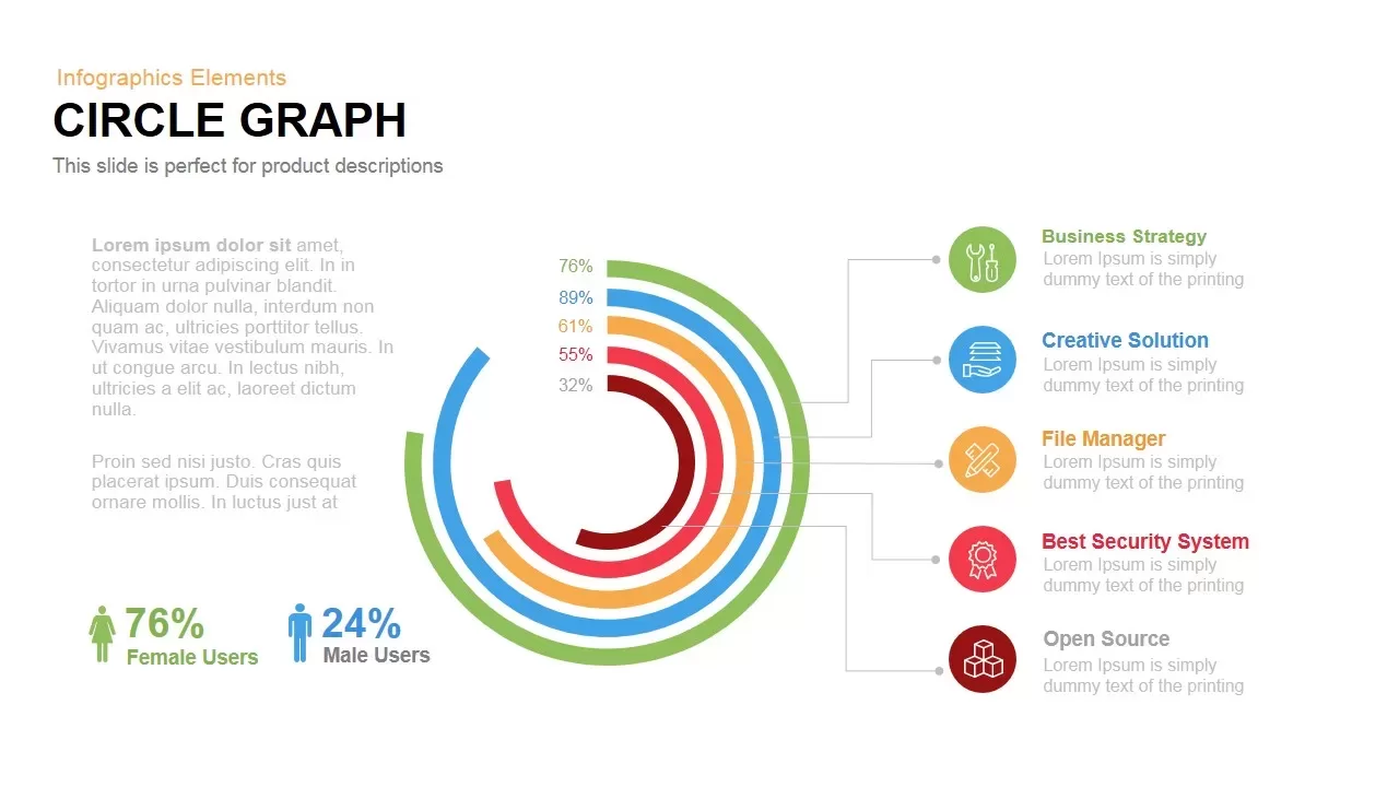
Circle Graph Data Visualization Template for PowerPoint & Google Slides
Circular
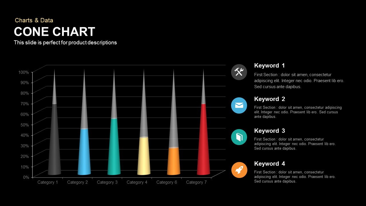
3D Cone Chart Data Visualization template for PowerPoint & Google Slides
Bar/Column

Bold Diamond Risk Alert Visualization Template for PowerPoint & Google Slides
Risk Management
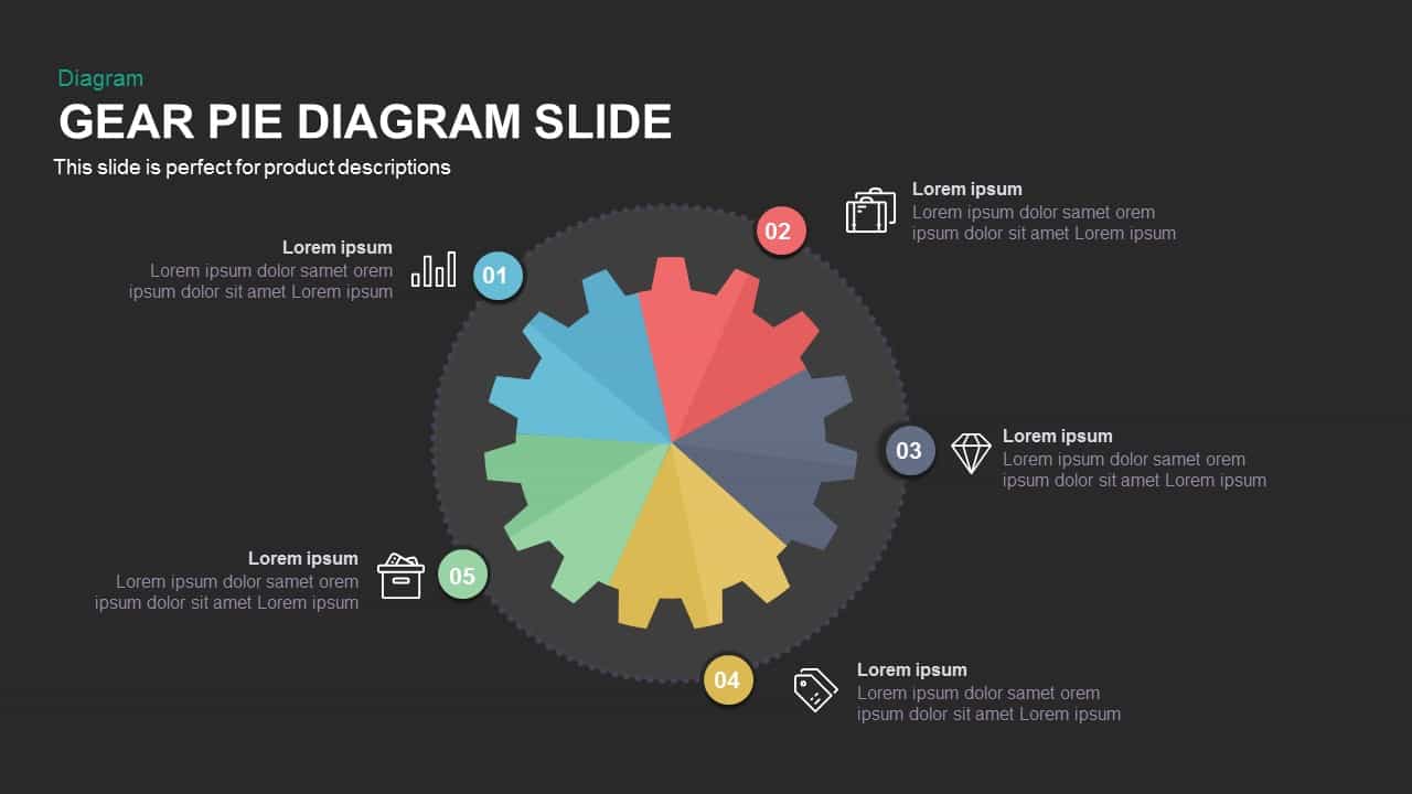
Gear Pie Diagram Data Visualization Template for PowerPoint & Google Slides
Pie/Donut
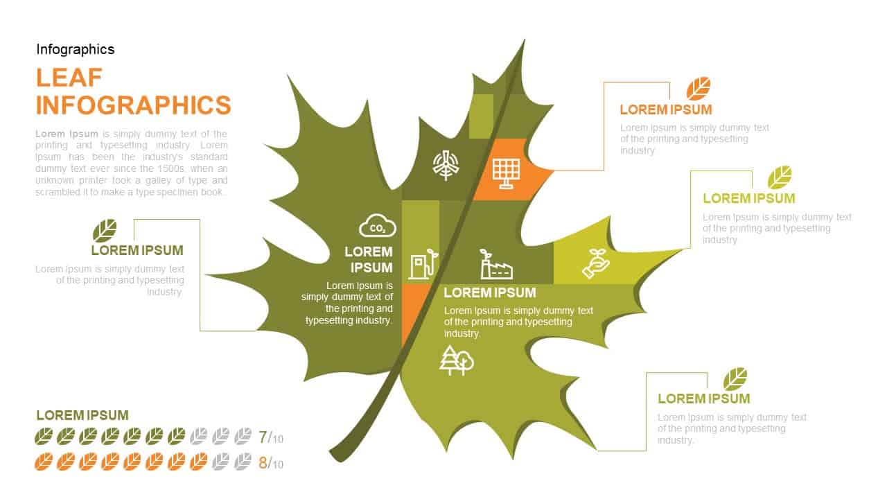
Leaf Infographic Data Visualization Template for PowerPoint & Google Slides
Infographics
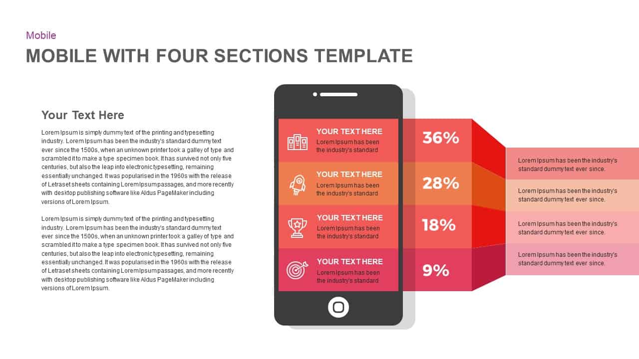
Mobile Infographics Data Visualization Template for PowerPoint & Google Slides
Infographics
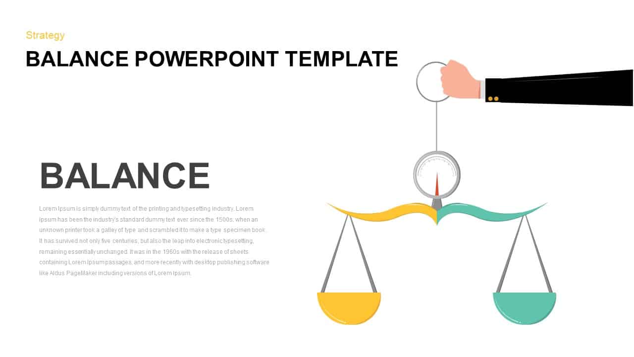
Balance Scale Visualization Infographic Template for PowerPoint & Google Slides
Comparison
Medical Infographics Data Visualization Template for PowerPoint & Google Slides
Health
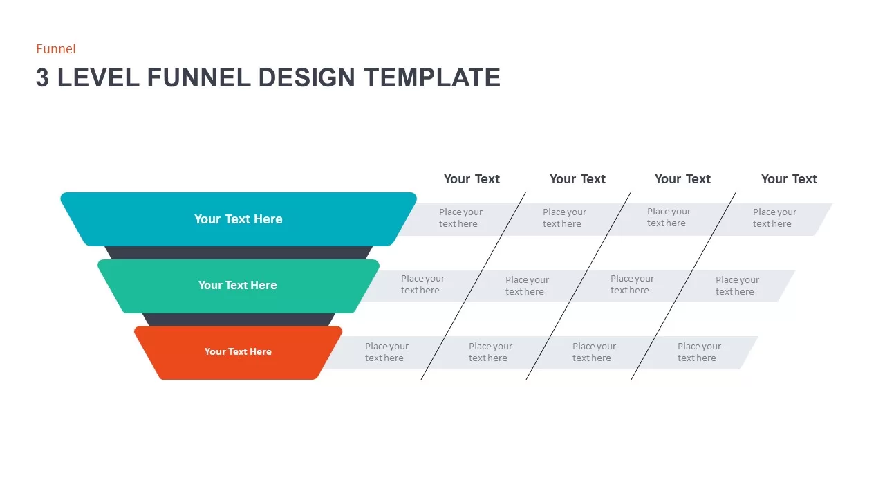
3 Level Funnel Design Visualization Template for PowerPoint & Google Slides
Funnel
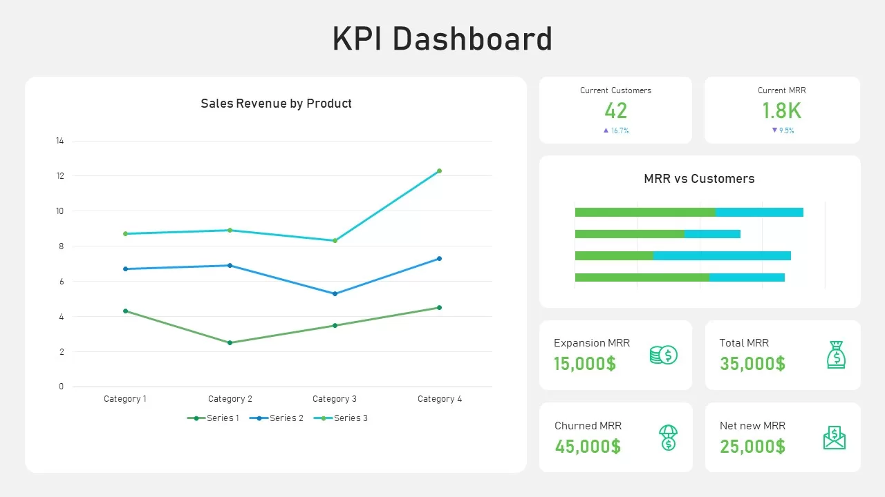
KPI Dashboard Data Visualization Template for PowerPoint & Google Slides
Bar/Column
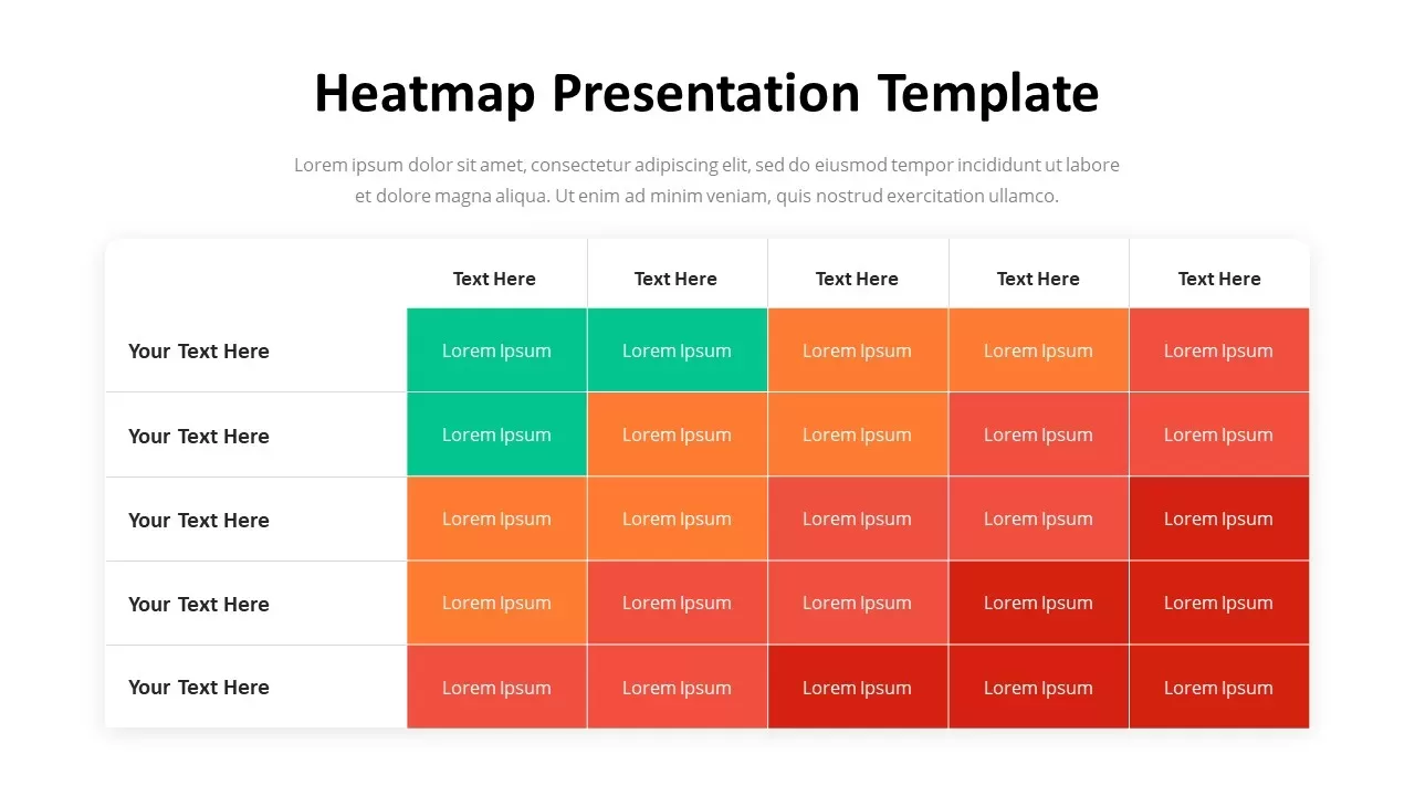
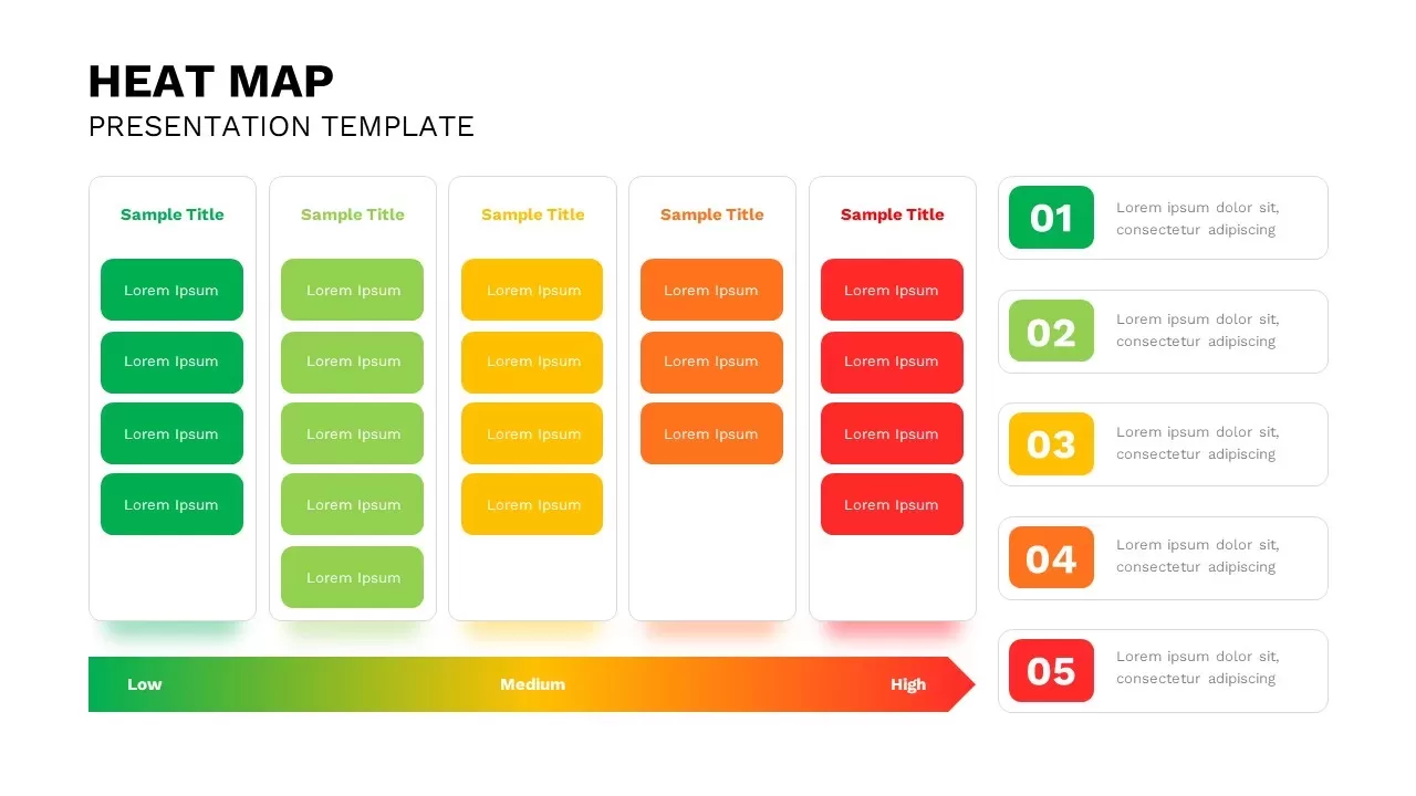
Professional Heatmap Data Visualization Template for PowerPoint & Google Slides
Infographics
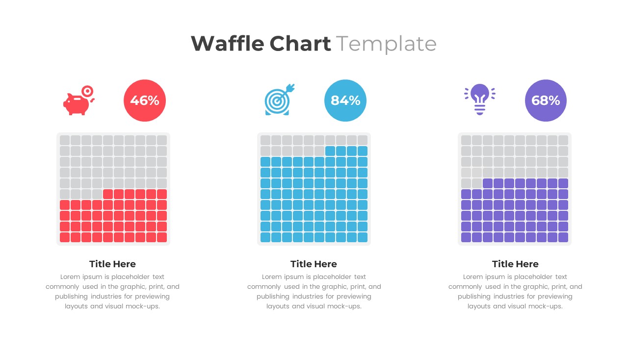
Waffle Chart Data Visualization Template for PowerPoint & Google Slides
Comparison Chart
Free Stacked Column Chart Data Visualization Template for PowerPoint & Google Slides
Bar/Column
Free
Simple Bar Chart Data Visualization Template for PowerPoint & Google Slides
Bar/Column
XY Bubble Chart Data Visualization Template for PowerPoint & Google Slides
Comparison Chart
Growth Curve Line Chart Visualization Template for PowerPoint & Google Slides
Charts
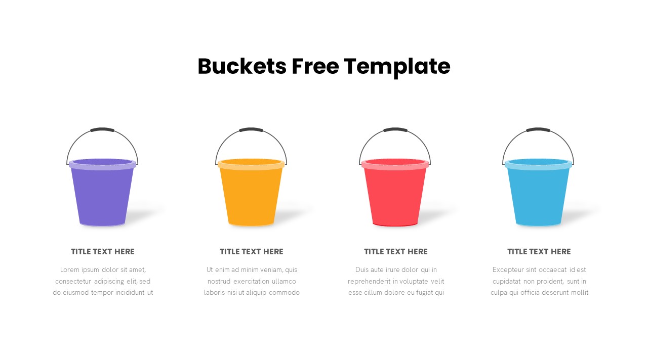
Free Bucket Process Visualization Template for PowerPoint & Google Slides
Process
Free
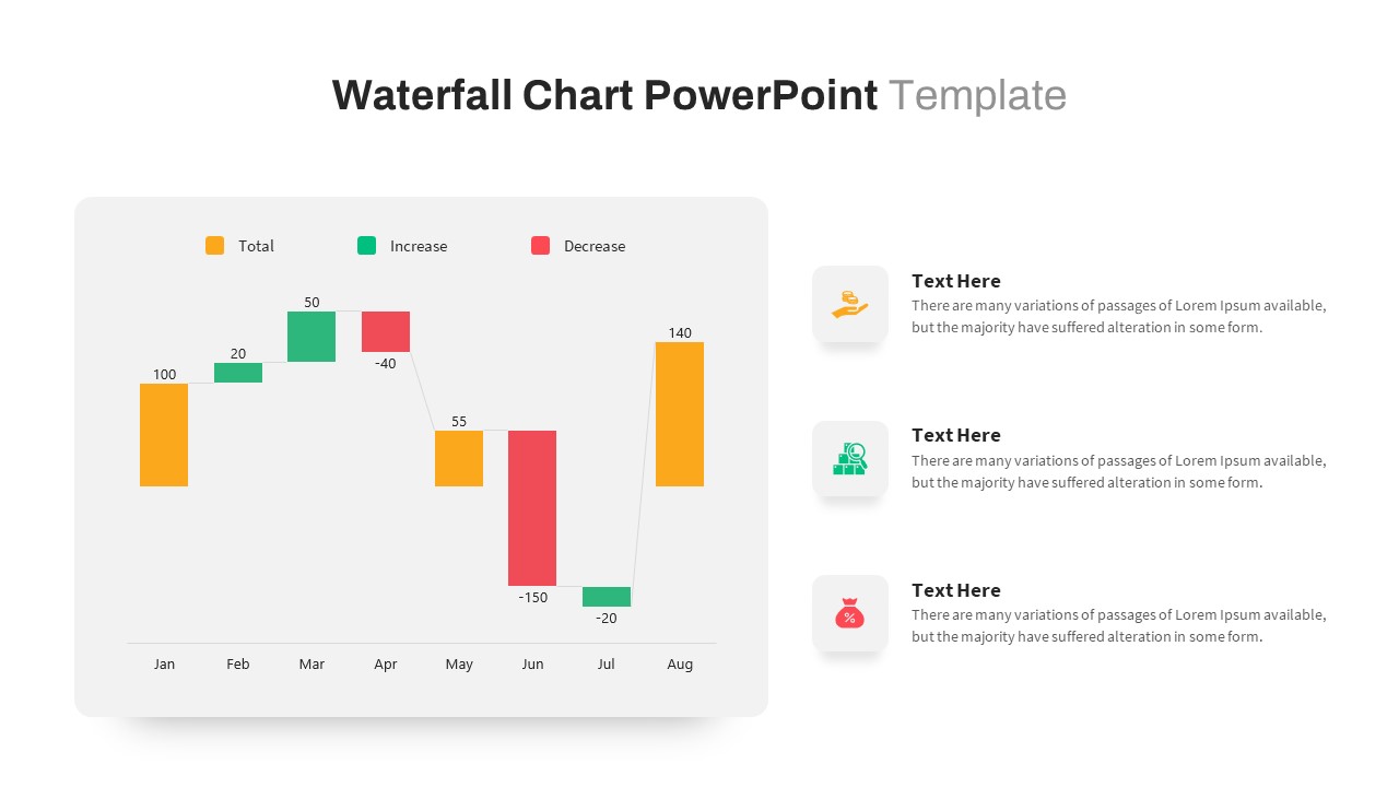
Waterfall Chart Data Visualization Template for PowerPoint & Google Slides
Comparison Chart
Animated Light Bulb Visualization Template for PowerPoint & Google Slides
Process
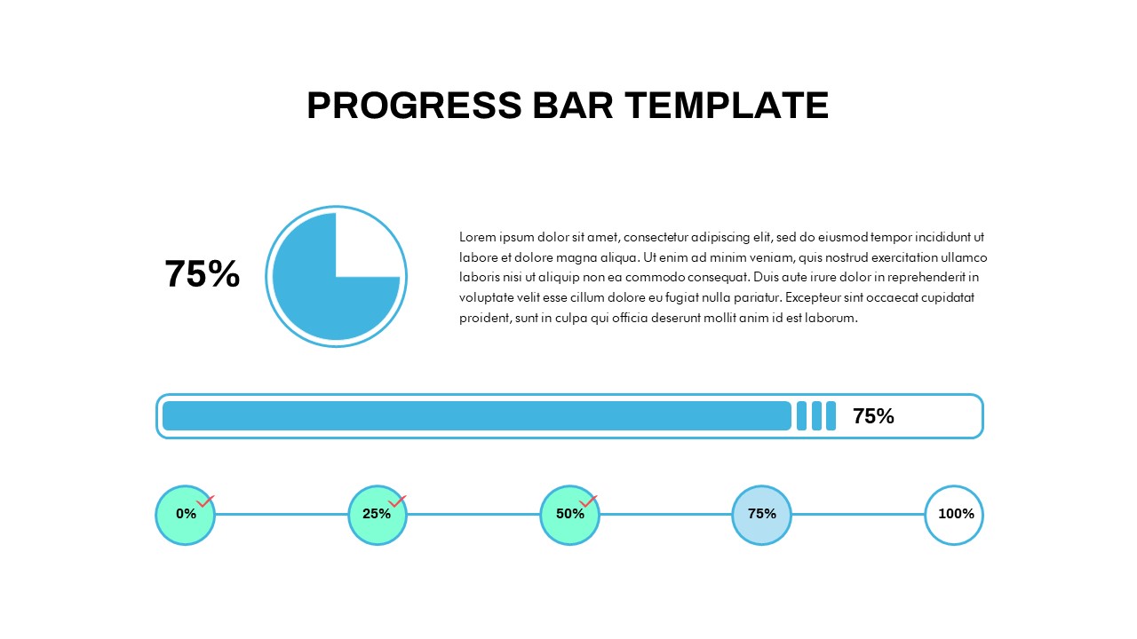
Progress Bar and Milestone Visualization Template for PowerPoint & Google Slides
Timeline
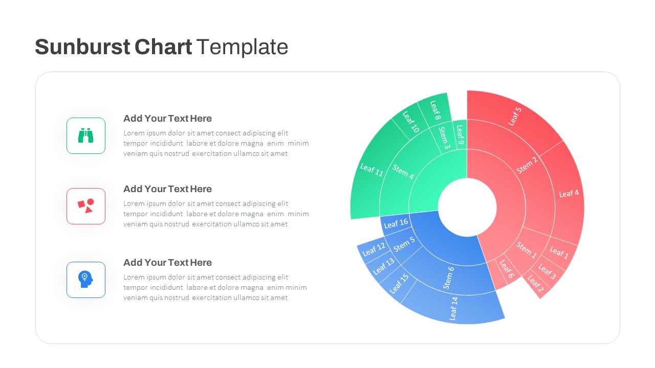
Dynamic Sunburst Chart Visualization Template for PowerPoint & Google Slides
Charts
Segmented Scatter Chart Data Visualization Template for PowerPoint & Google Slides
Business Strategy
Free Big Data Network Visualization Template for PowerPoint & Google Slides
Circular
Free
3D Cylinder Bar Chart Visualization Template for PowerPoint
Bar/Column
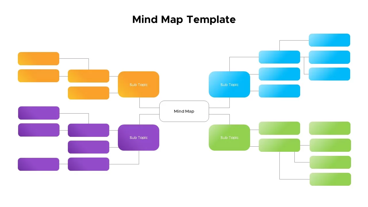
Mind Map PowerPoint template for PowerPoint & Google Slides
Mind Maps
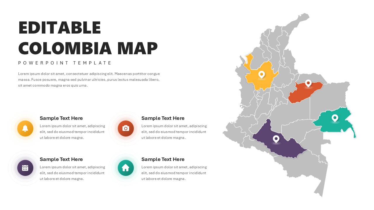
Editable Colombia Map PowerPoint Template for PowerPoint & Google Slides
Business Models
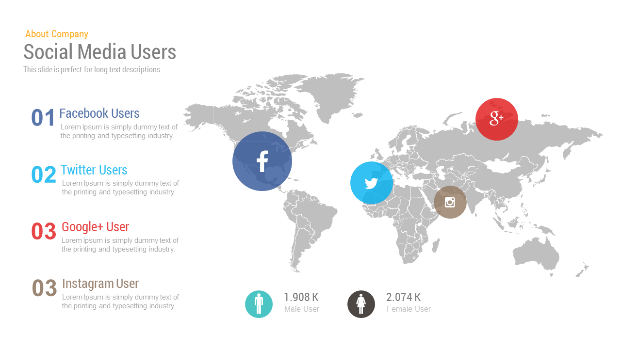
Free Social Media Users Map template for PowerPoint & Google Slides
World Maps
Free
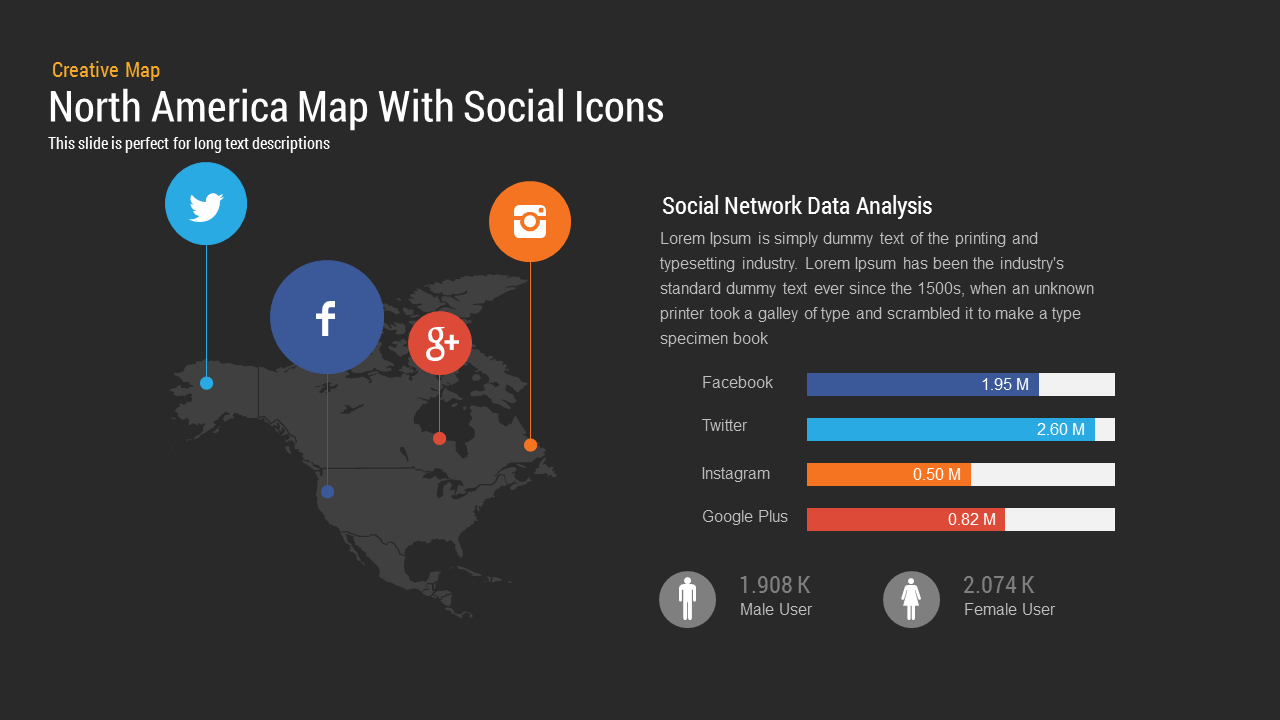
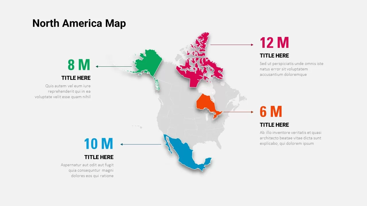
North America Map template for PowerPoint & Google Slides
World Maps
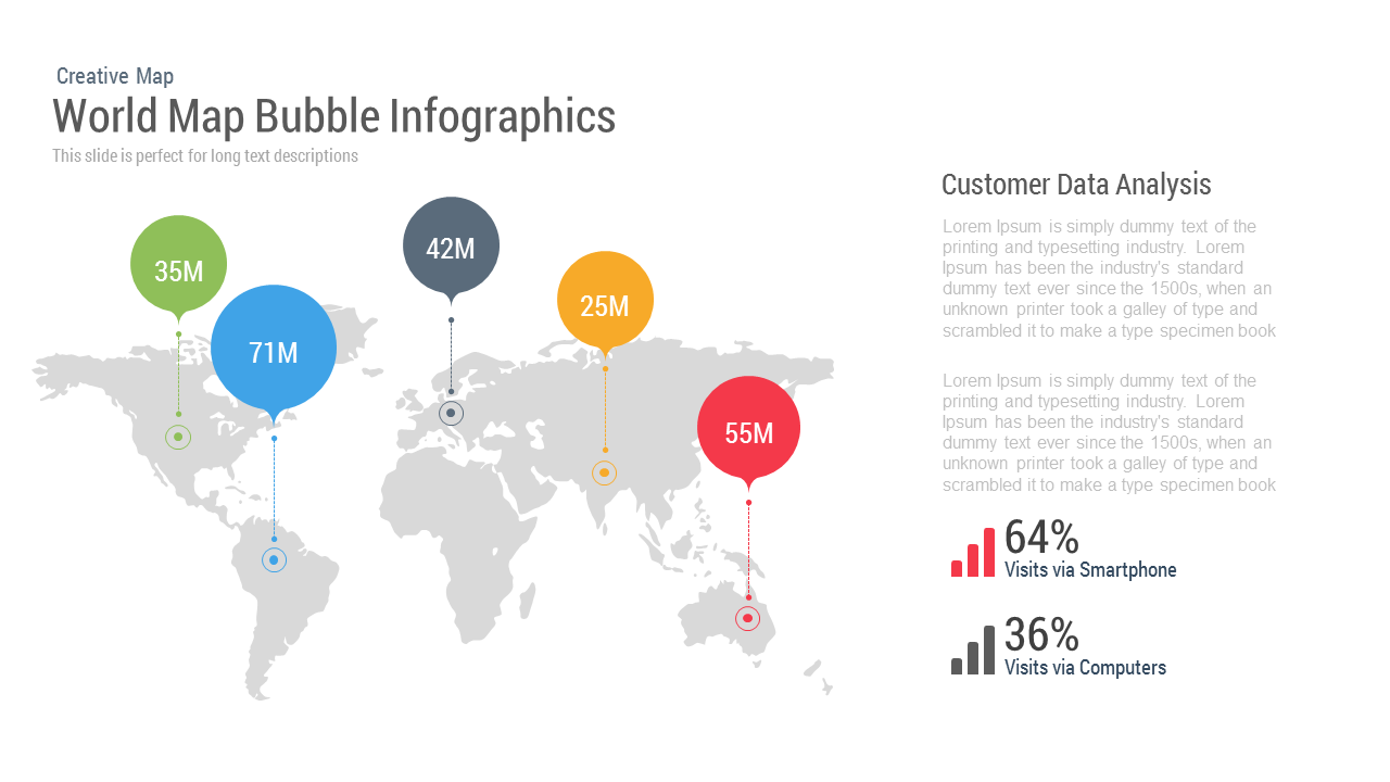
World Map Bubble template for PowerPoint & Google Slides
World Maps

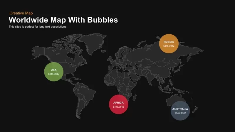
Worldwide Map with Bubbles template for PowerPoint & Google Slides
World Maps
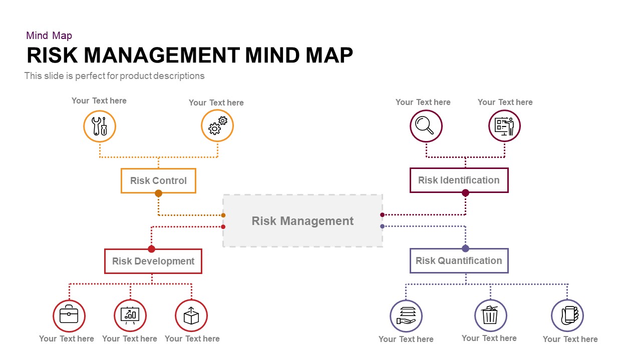
Risk Management Mind Map Radial Diagram template for PowerPoint & Google Slides
Mind Maps
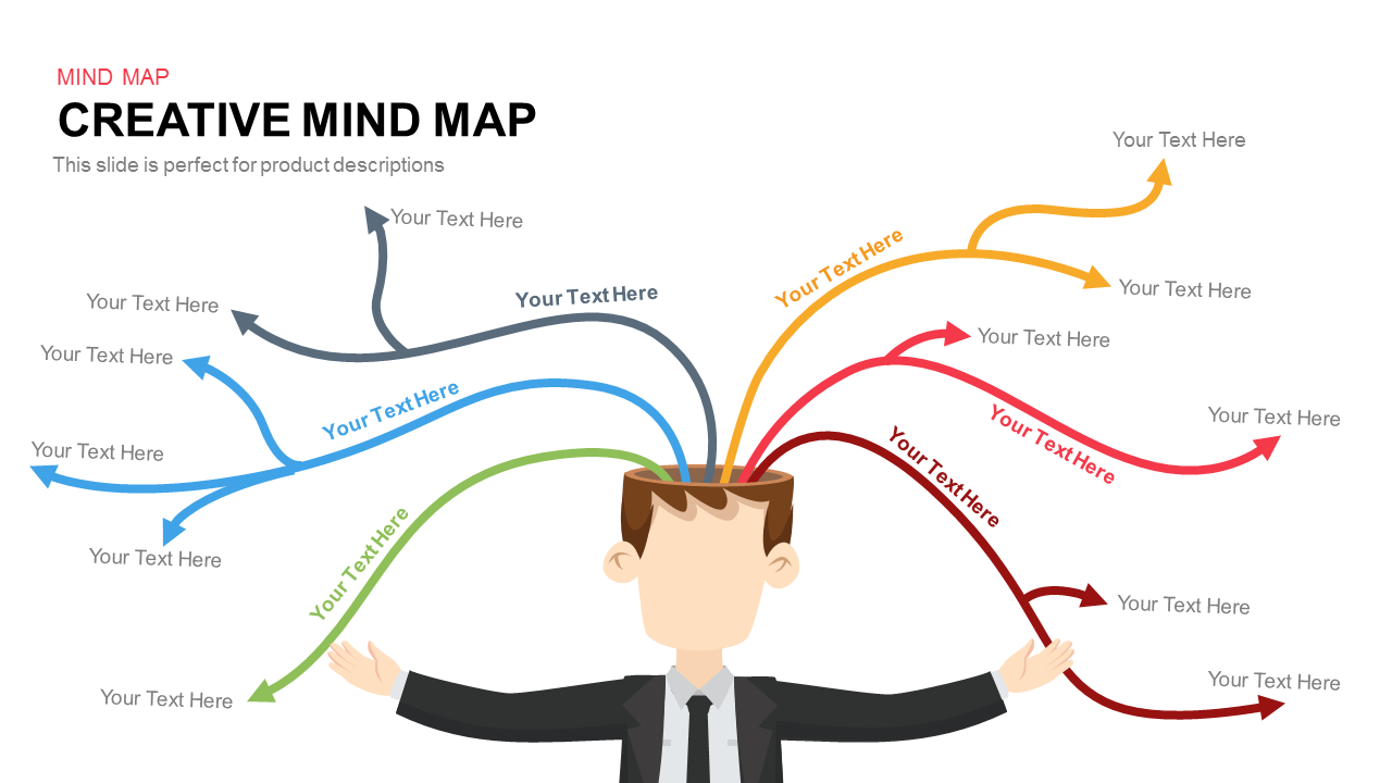
Colorful Creative Mind Map Diagram template for PowerPoint & Google Slides
Mind Maps
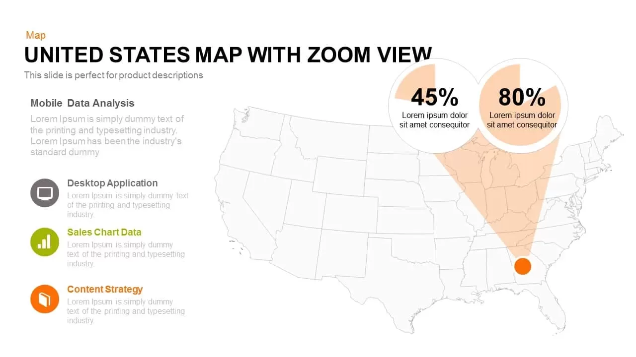
United States Map with Zoom View template for PowerPoint & Google Slides
World Maps
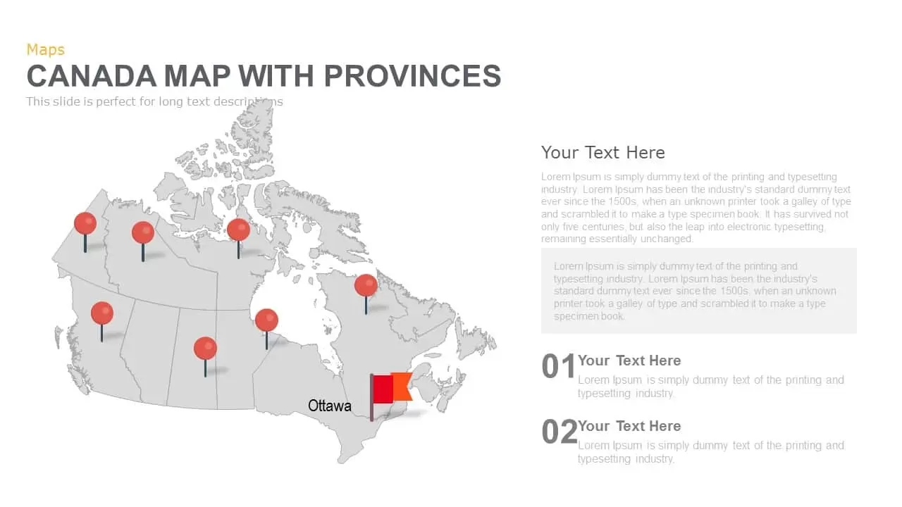
Canada Provinces Map Multi-Layout Template for PowerPoint & Google Slides
World Maps
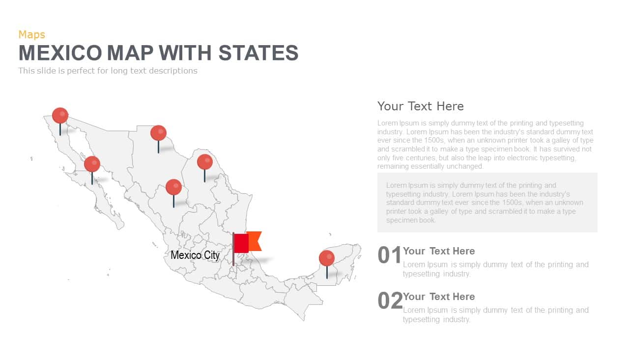
Mexico Map With States Template for PowerPoint & Google Slides
World Maps
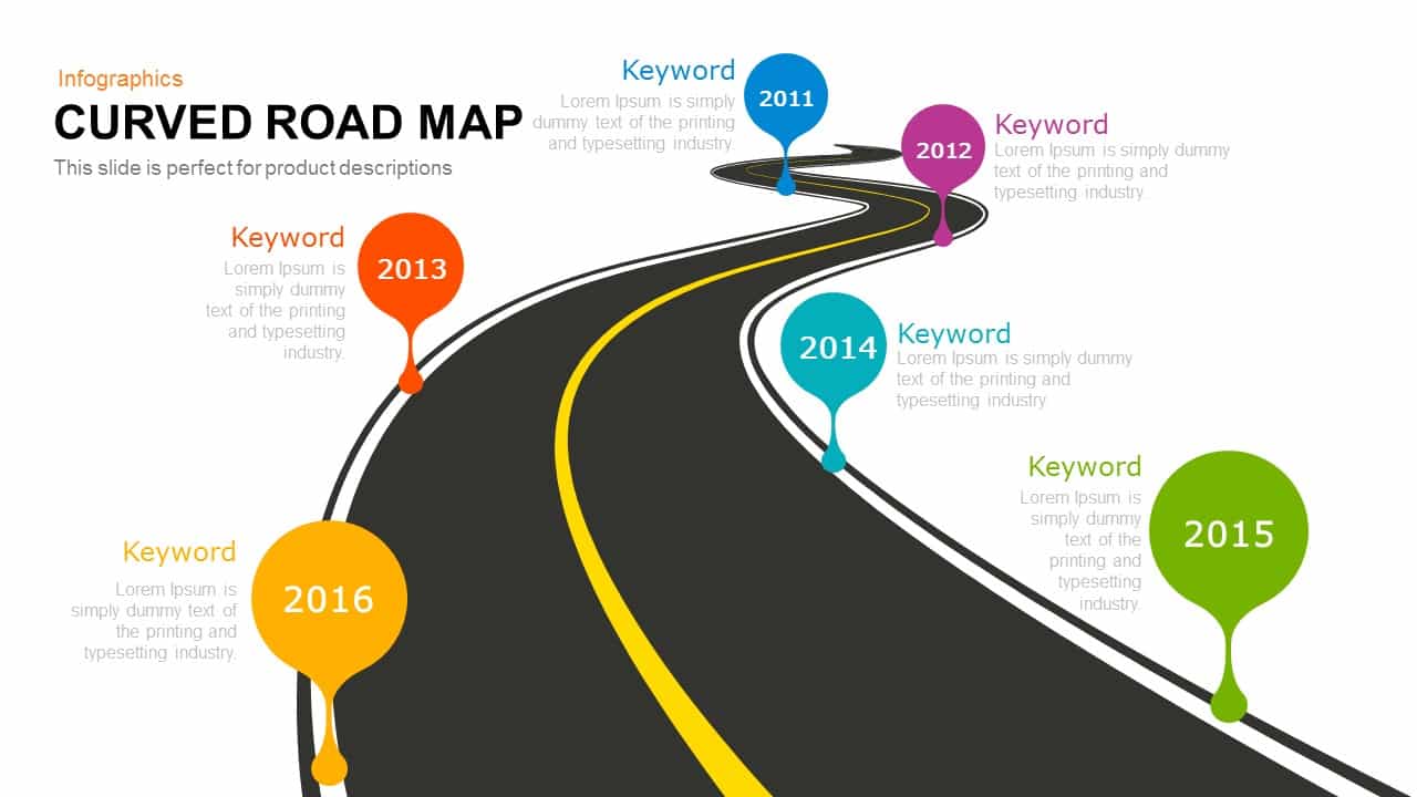
Curved Road Map Timeline Infographic Template for PowerPoint & Google Slides
Roadmap
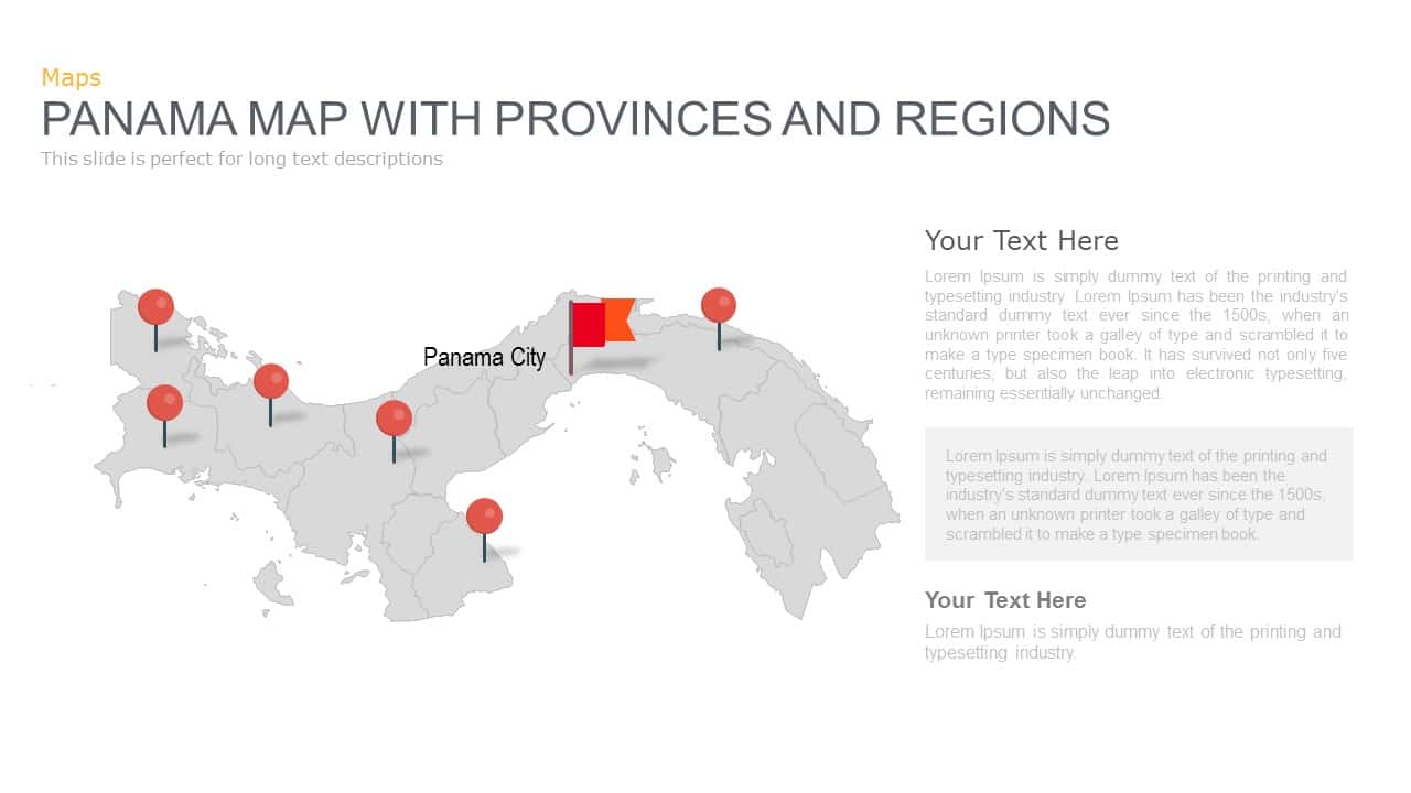
Panama Map with Region Markers Template for PowerPoint & Google Slides
World Maps
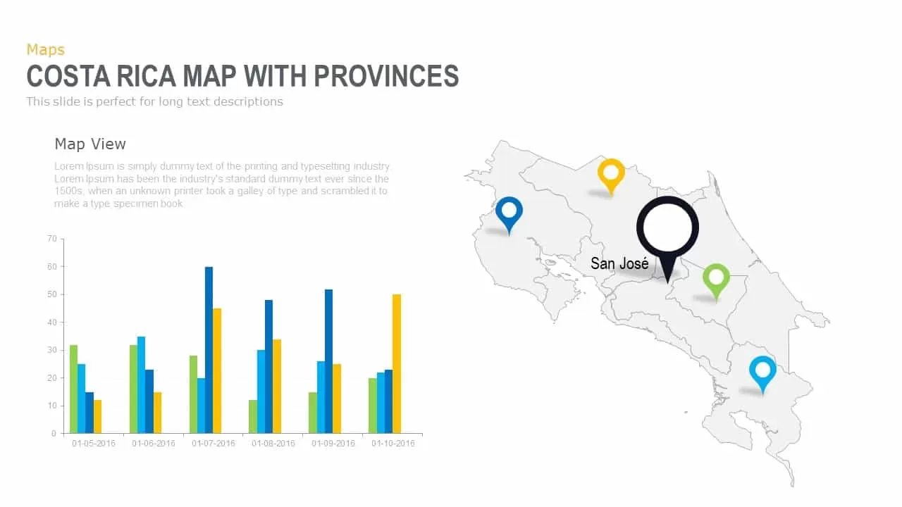
Interactive Costa Rica Province Map Template for PowerPoint & Google Slides
World Maps

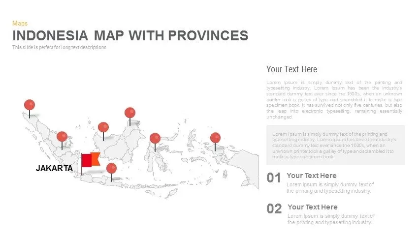
Indonesia Province Map Callout Slide Template for PowerPoint & Google Slides
Maps
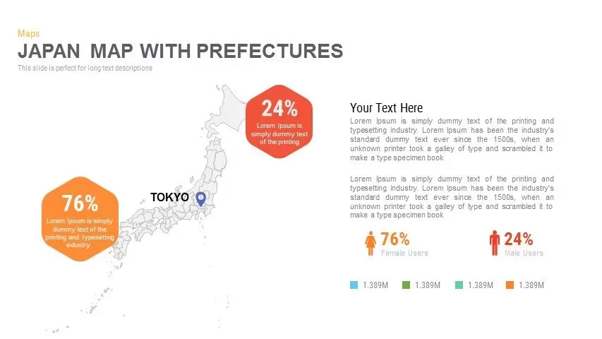
Japan Province Map Infographic Template for PowerPoint & Google Slides
Maps
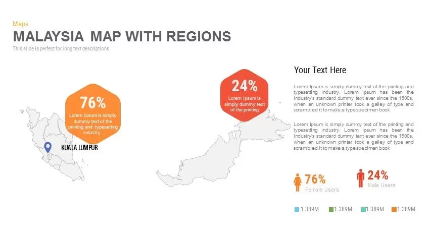
Malaysia Regional Map Infographic Template for PowerPoint & Google Slides
Maps
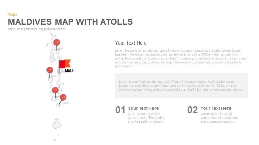
Maldives Map Infographic Template for PowerPoint & Google Slides
Maps
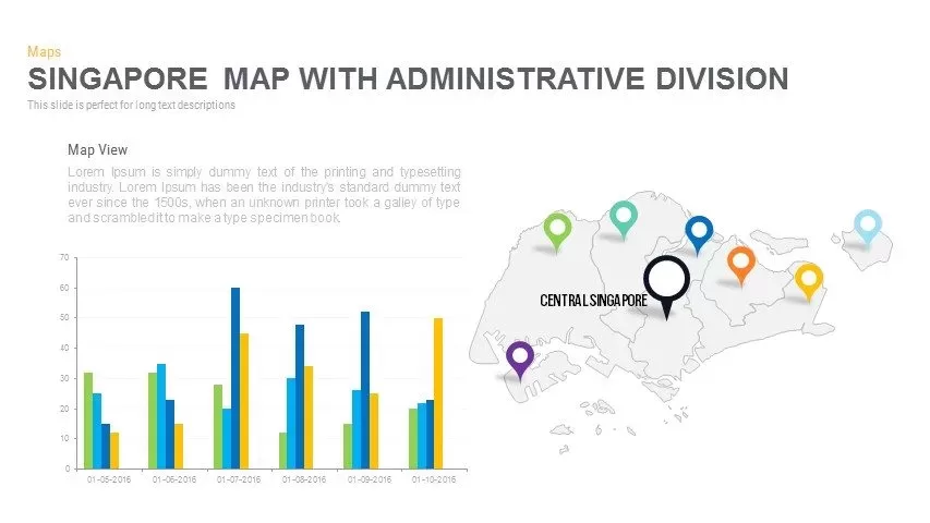
Singapore Map Pack Template for PowerPoint & Google Slides
Maps
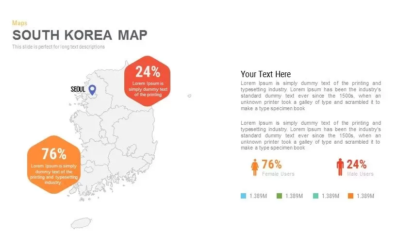
Infographic South Korea Map Template for PowerPoint & Google Slides
Maps
Sri Lanka Map Infographic Pack Template for PowerPoint & Google Slides
Maps
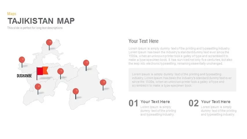
Editable Tajikistan Provinces Map Pack Template for PowerPoint & Google Slides
Maps
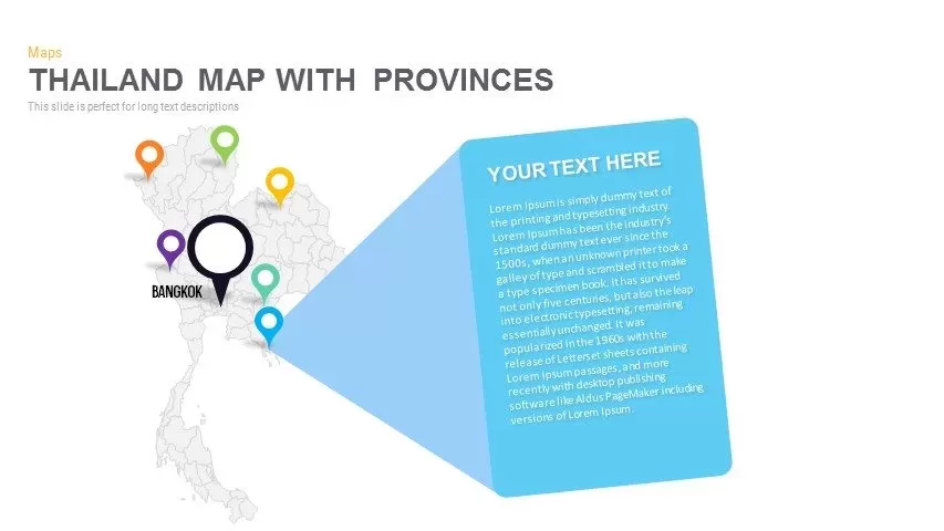
Thailand Provinces Map Infographic Pack Template for PowerPoint & Google Slides
Maps
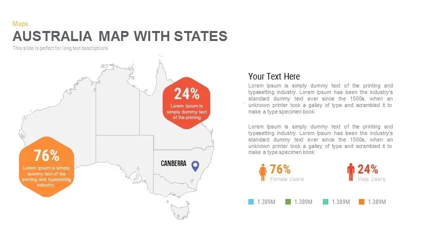
Australia Map with State Markers Template for PowerPoint & Google Slides
Maps
Angola Map with Provinces Slide Pack Template for PowerPoint & Google Slides
World Maps
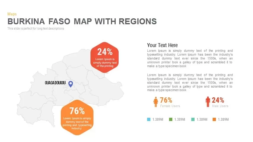
Burkina Faso Map with Regions Slide Pack Template for PowerPoint & Google Slides
World Maps
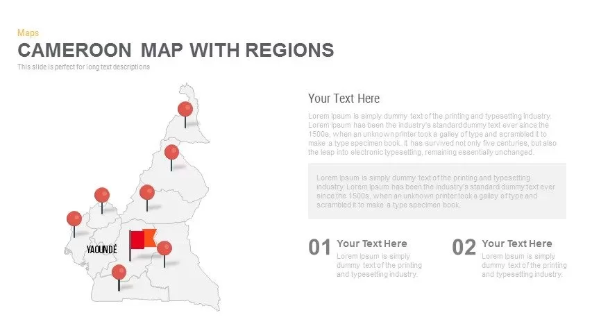
Cameroon Map with Regions Slide Pack Template for PowerPoint & Google Slides
World Maps
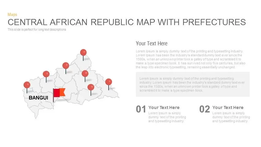
Central African Republic Prefectures Map Template for PowerPoint & Google Slides
World Maps
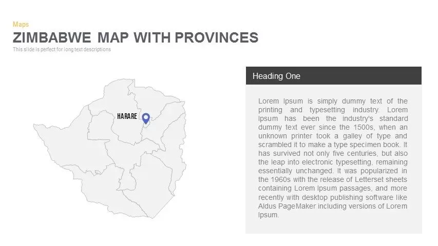
Zimbabwe Map with Provinces Slide Pack Template for PowerPoint & Google Slides
World Maps

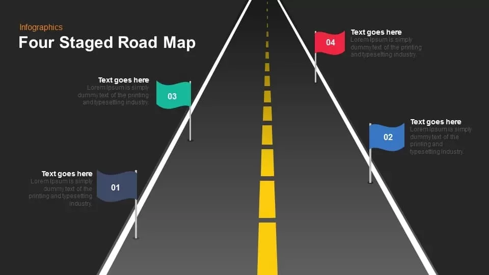
Four Staged Road Map template for PowerPoint & Google Slides
Roadmap

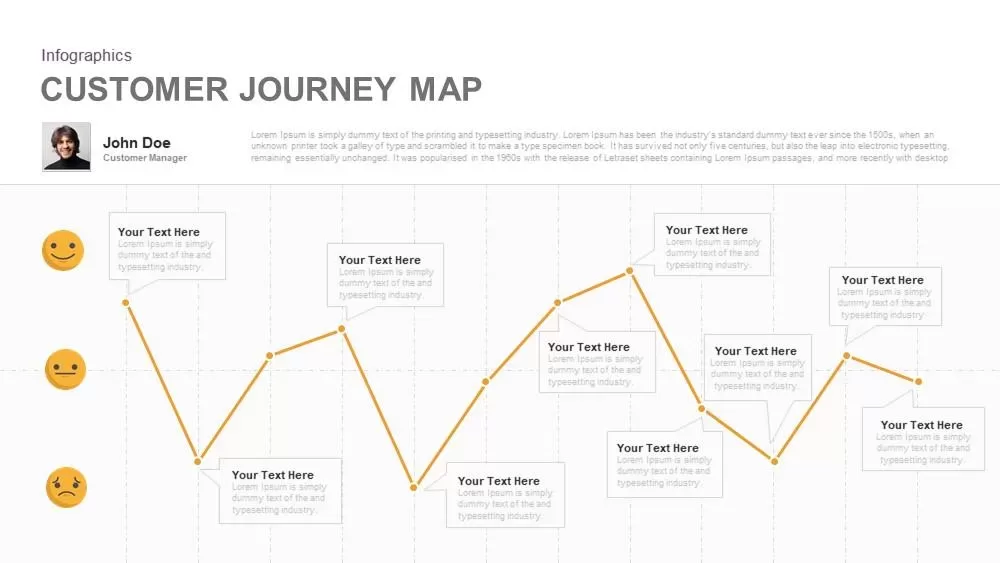
Emotional Customer Journey Map Template for PowerPoint & Google Slides
Customer Journey
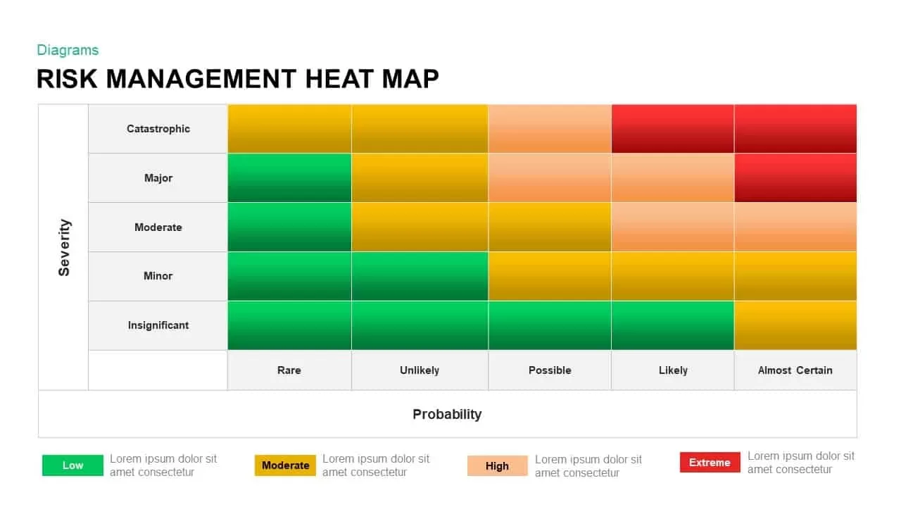
Risk Management Heat Map Diagram Template for PowerPoint & Google Slides
Comparison Chart
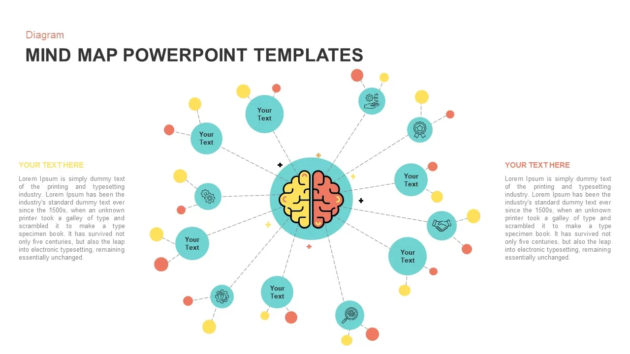
Colorful Mind Map Infographic Template with Icons for PowerPoint & Google Slides
Mind Maps
Colorful Mind Map Infographic Template for PowerPoint & Google Slides
Mind Maps
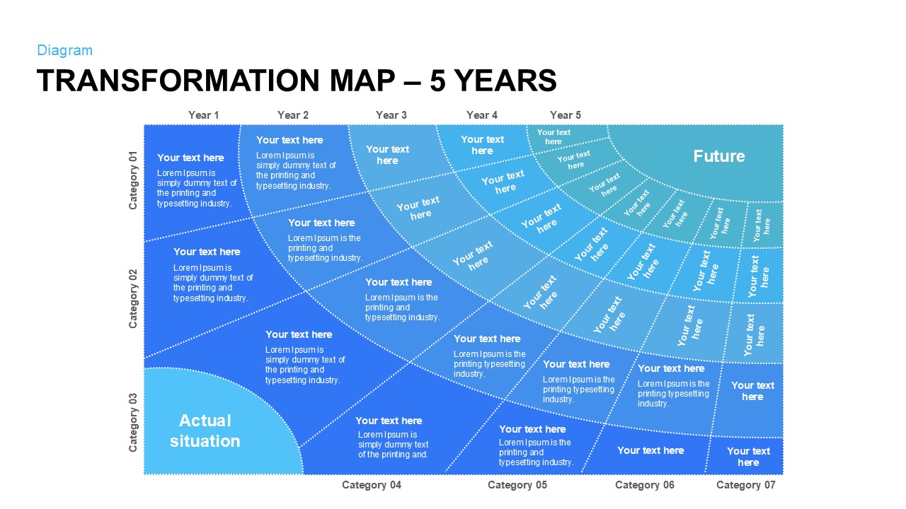
Five-Year Transformation Map Diagram Template for PowerPoint & Google Slides
Process
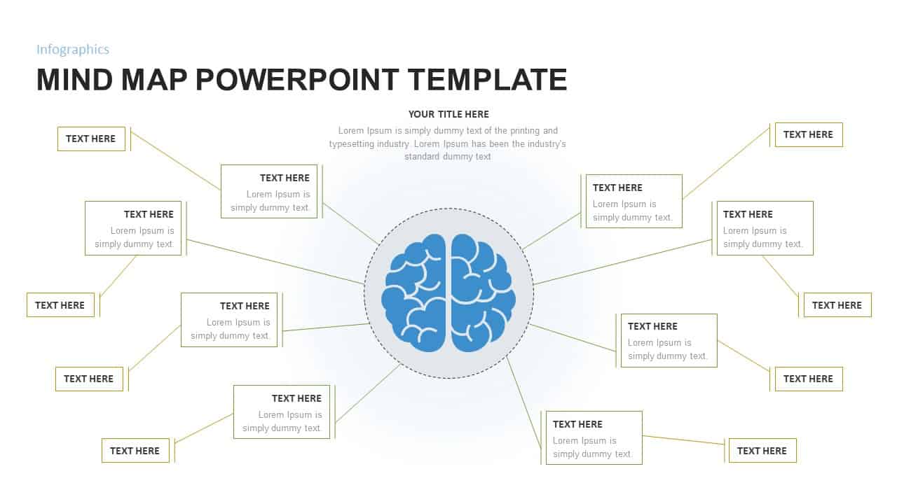
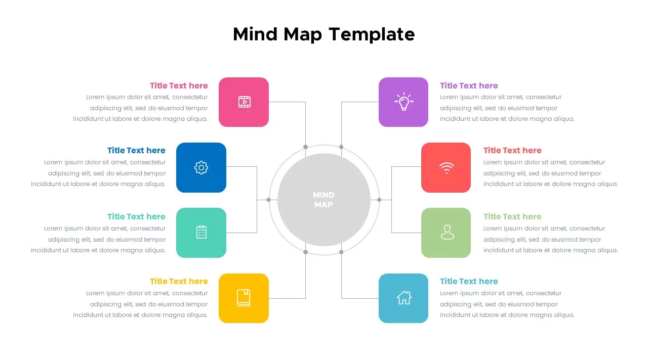
Mind Map Infographic Slide Template for PowerPoint & Google Slides
Mind Maps

Interactive Empathy Map Diagram Template for PowerPoint & Google Slides
Process
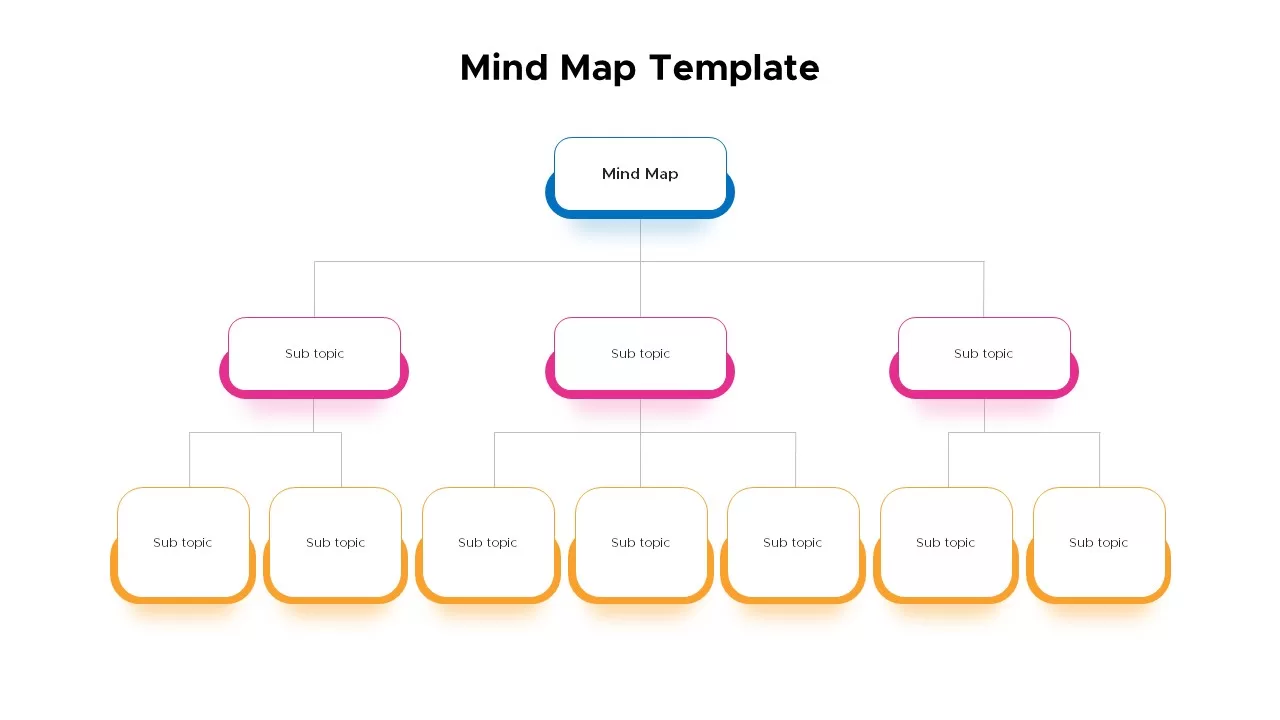
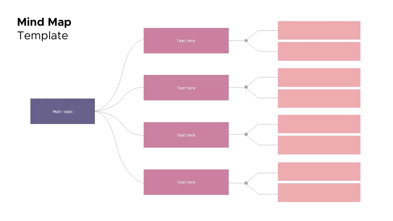
Mind Map Diagram Template for PowerPoint & Google Slides
Mind Maps
Fully Editable World Map Infographic Template for PowerPoint & Google Slides
World Maps
Global Population Demographics & Map Template for PowerPoint & Google Slides
Bar/Column
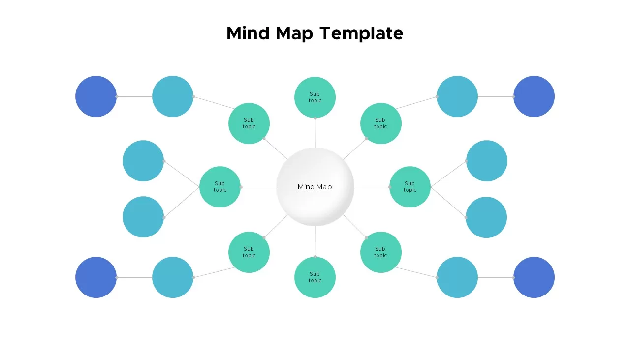
Mind Map Template for PowerPoint & Google Slides
Mind Maps
Colorful Mind Map Template for PowerPoint & Google Slides
Mind Maps
Circular Mind Map Template for PowerPoint & Google Slides
Mind Maps
Colorful Mind Map with Icons Template for PowerPoint & Google Slides
Mind Maps
Mind Map Template for PowerPoint & Google Slides
Mind Maps
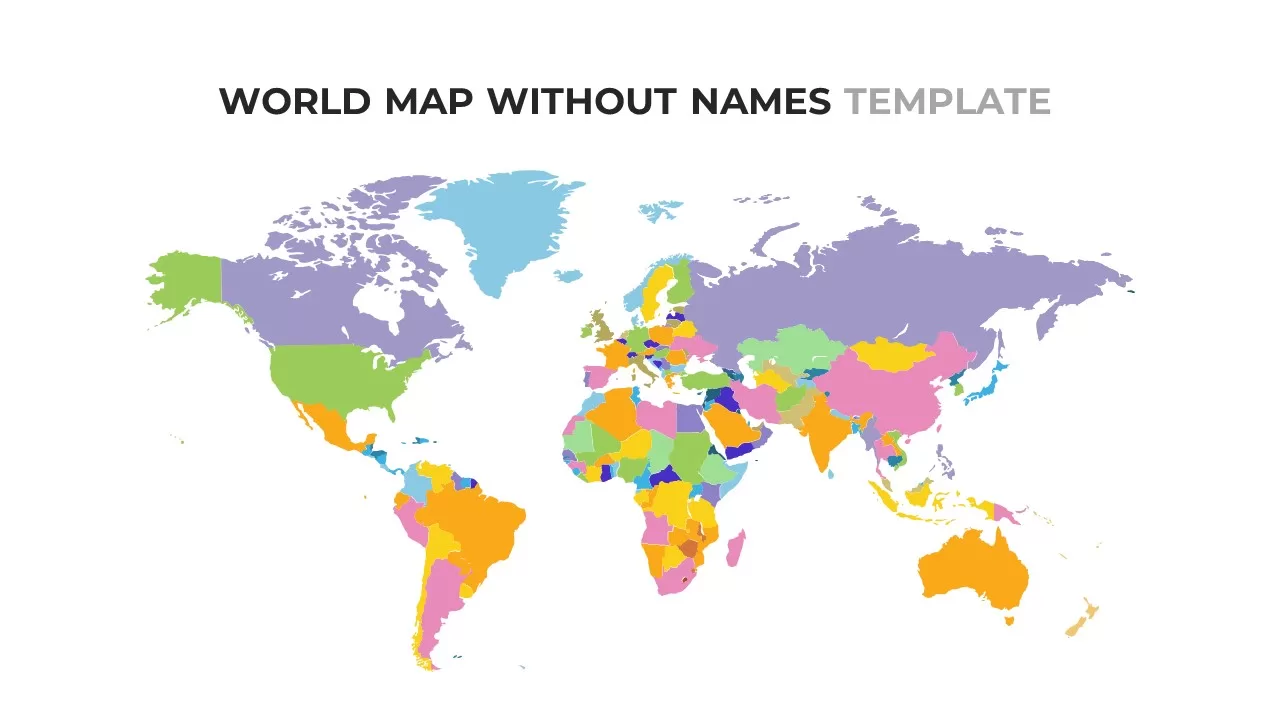
World Map Without Names Template for PowerPoint & Google Slides
World Maps
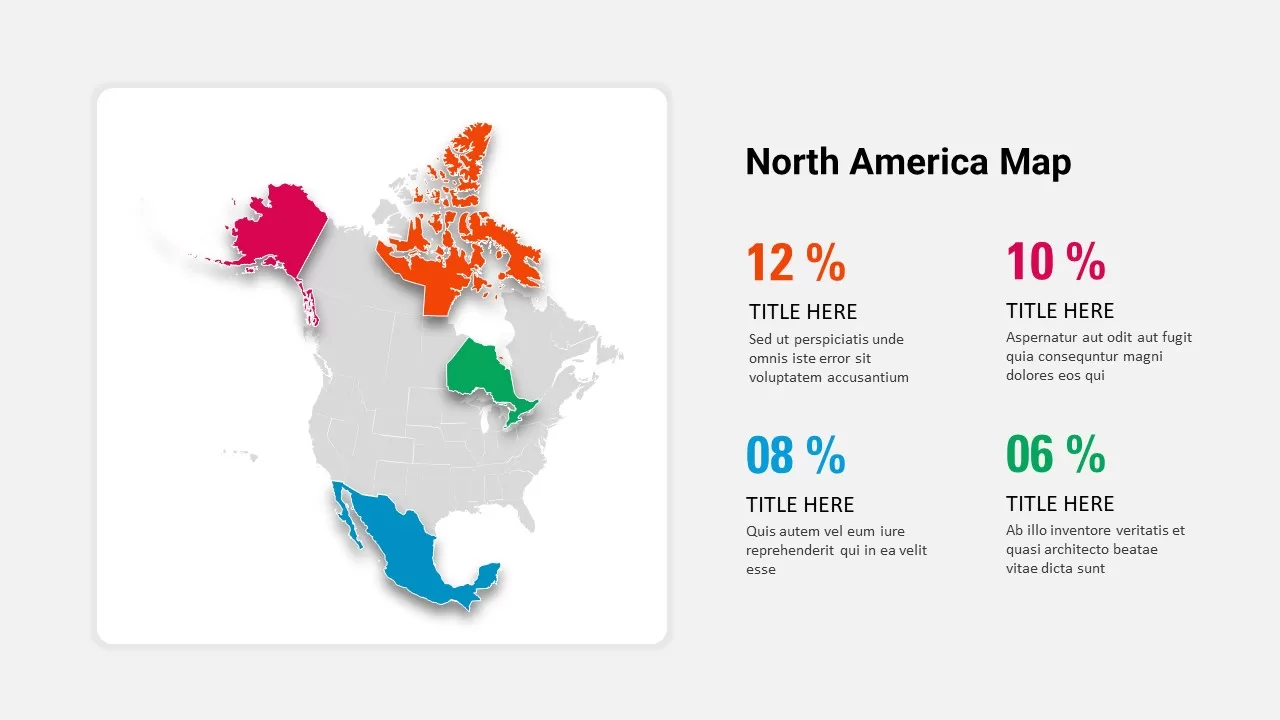
North America Percentage Map Infographic Template for PowerPoint & Google Slides
World Maps
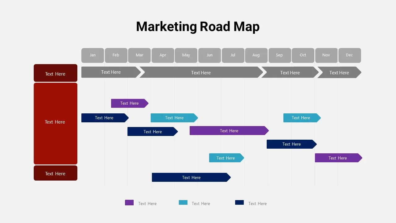
Detailed Marketing Road Map Timeline Template for PowerPoint & Google Slides
Timeline
North America Location Pin Map Overview Template for PowerPoint & Google Slides
World Maps
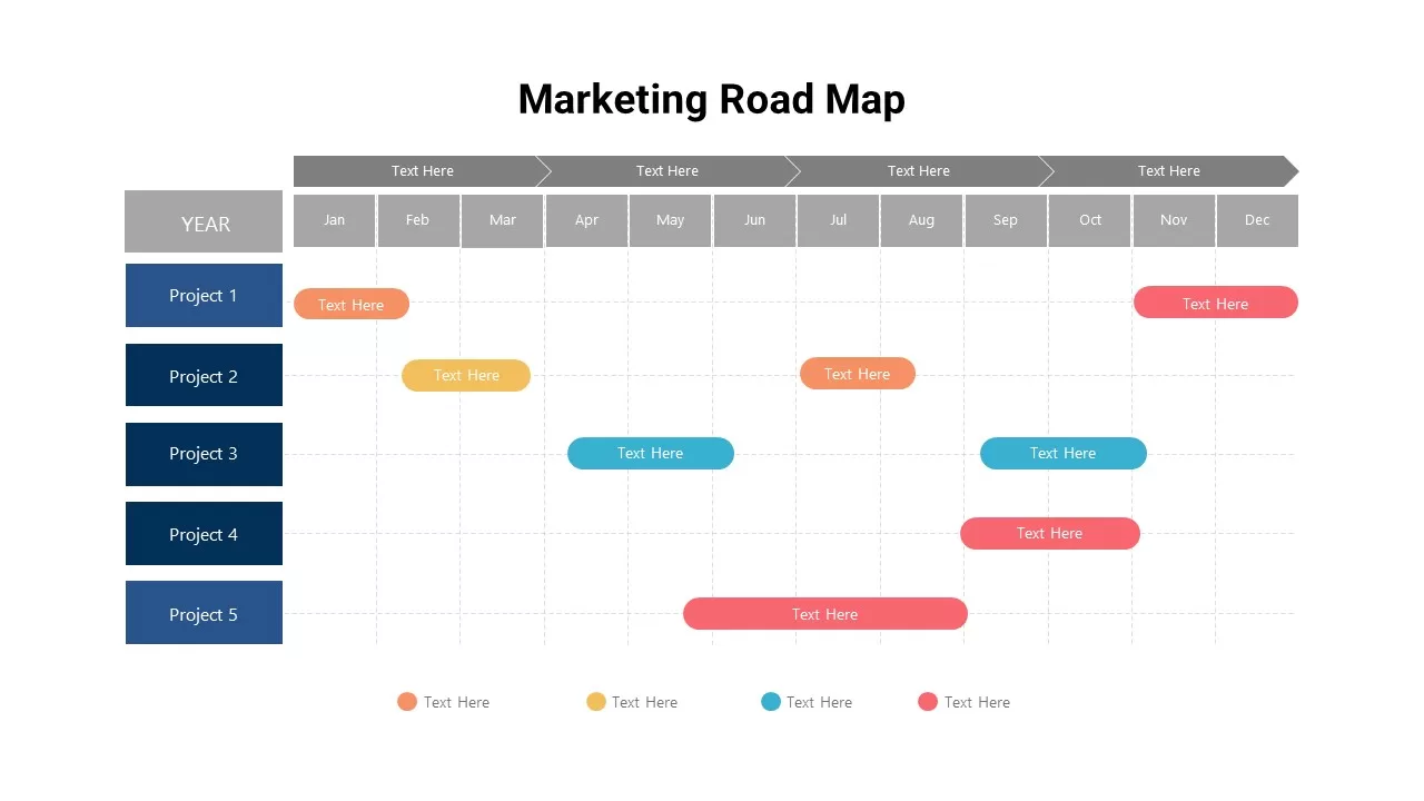
Marketing Projects Road Map Timeline Template for PowerPoint & Google Slides
Roadmap
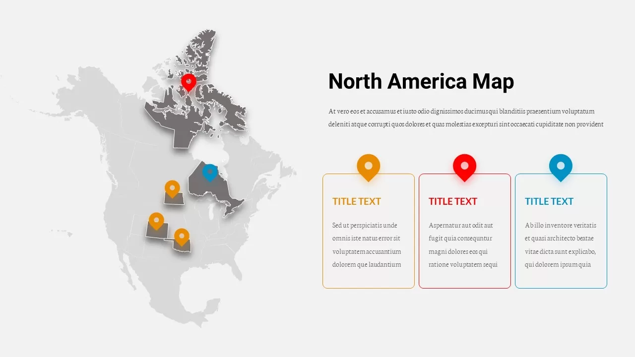
North America Data Map Callouts Template for PowerPoint & Google Slides
World Maps
Interactive Heat Map Template for PowerPoint & Google Slides
Bar/Column
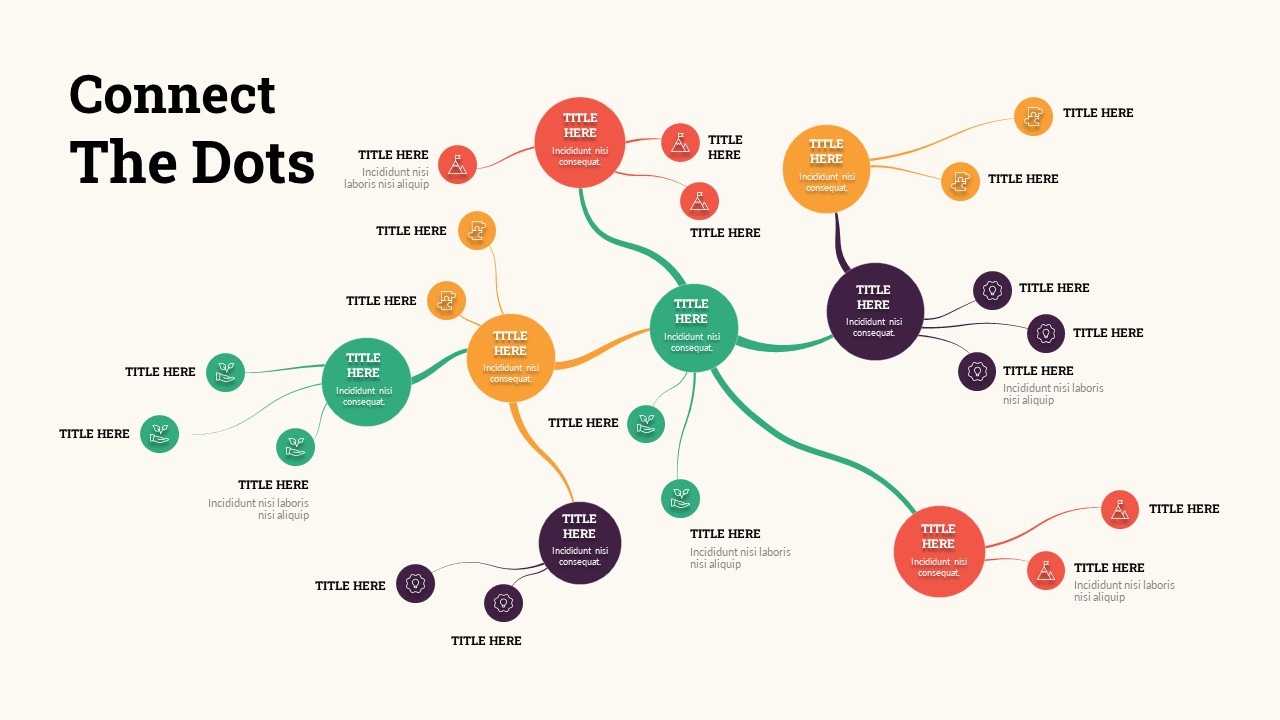
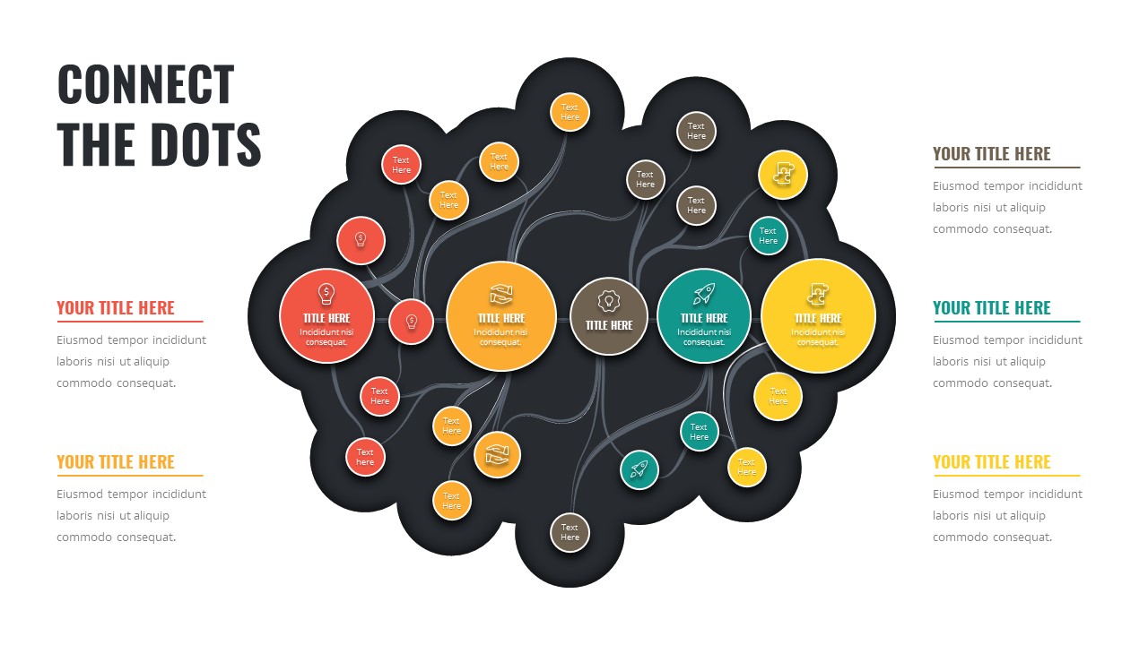
Connect the Dots Mind Map template for PowerPoint & Google Slides
Mind Maps
Connect the Dots Mind Map Diagram Template for PowerPoint & Google Slides
Mind Maps
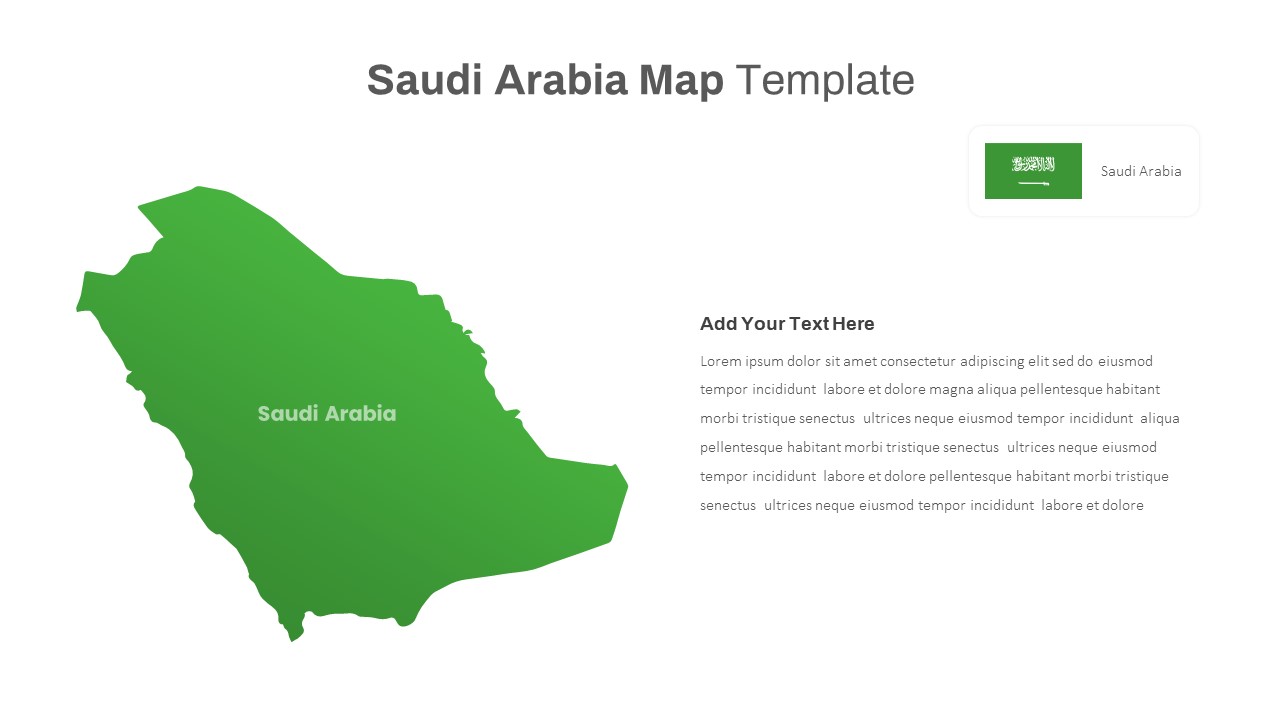
Free Editable Saudi Arabia Map Template for PowerPoint & Google Slides
World Maps
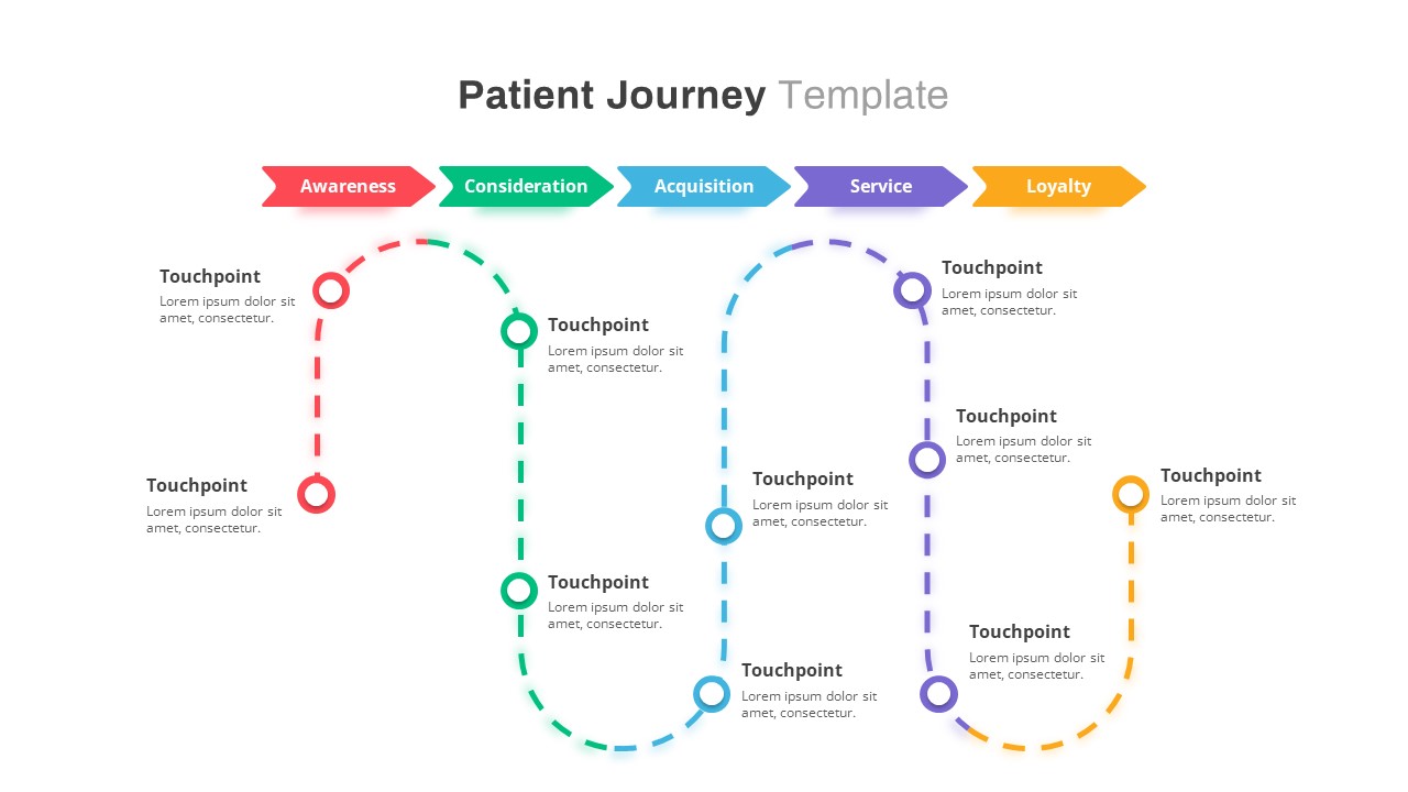
Healthcare Patient Journey Map Overview Template for PowerPoint & Google Slides
Health
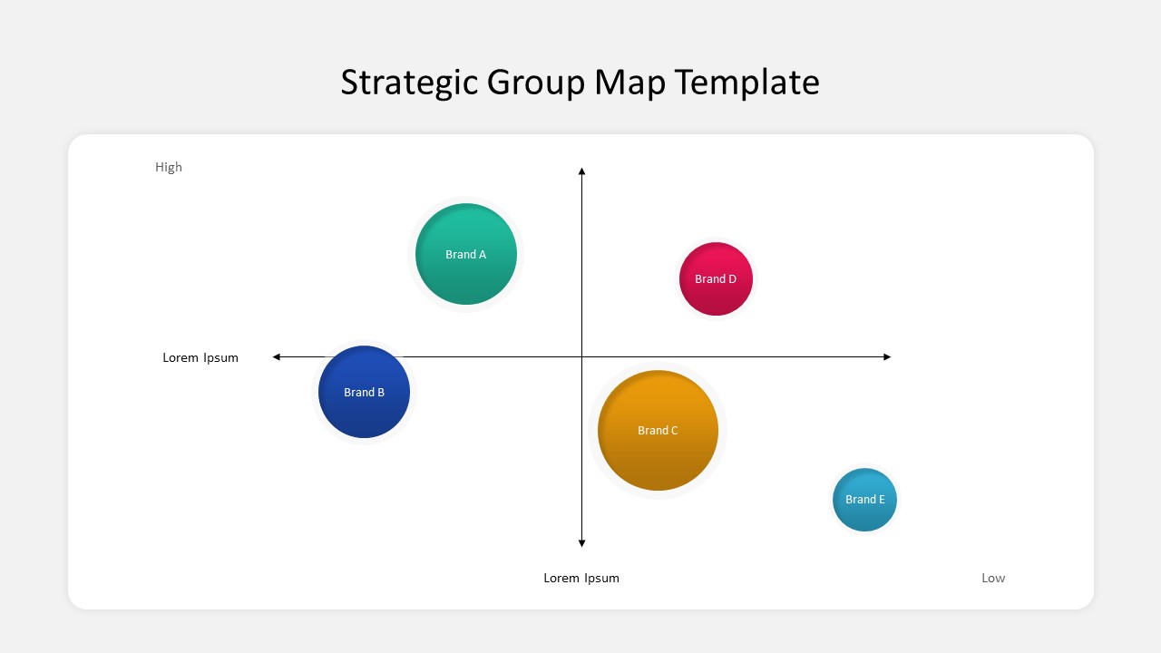
Business Strategic Group Map Analysis Template for PowerPoint & Google Slides
Competitor Analysis
Free
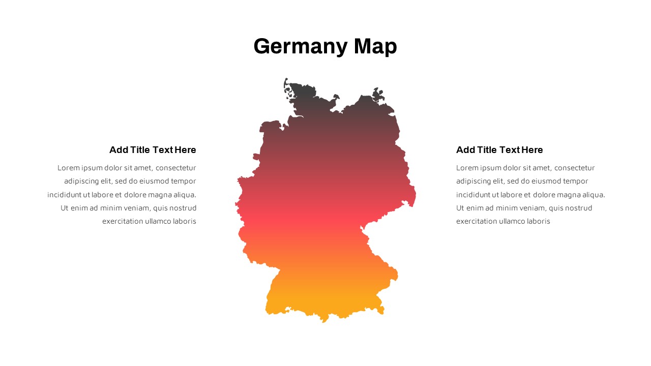
Germany Map with Regional Callouts Template for PowerPoint & Google Slides
World Maps
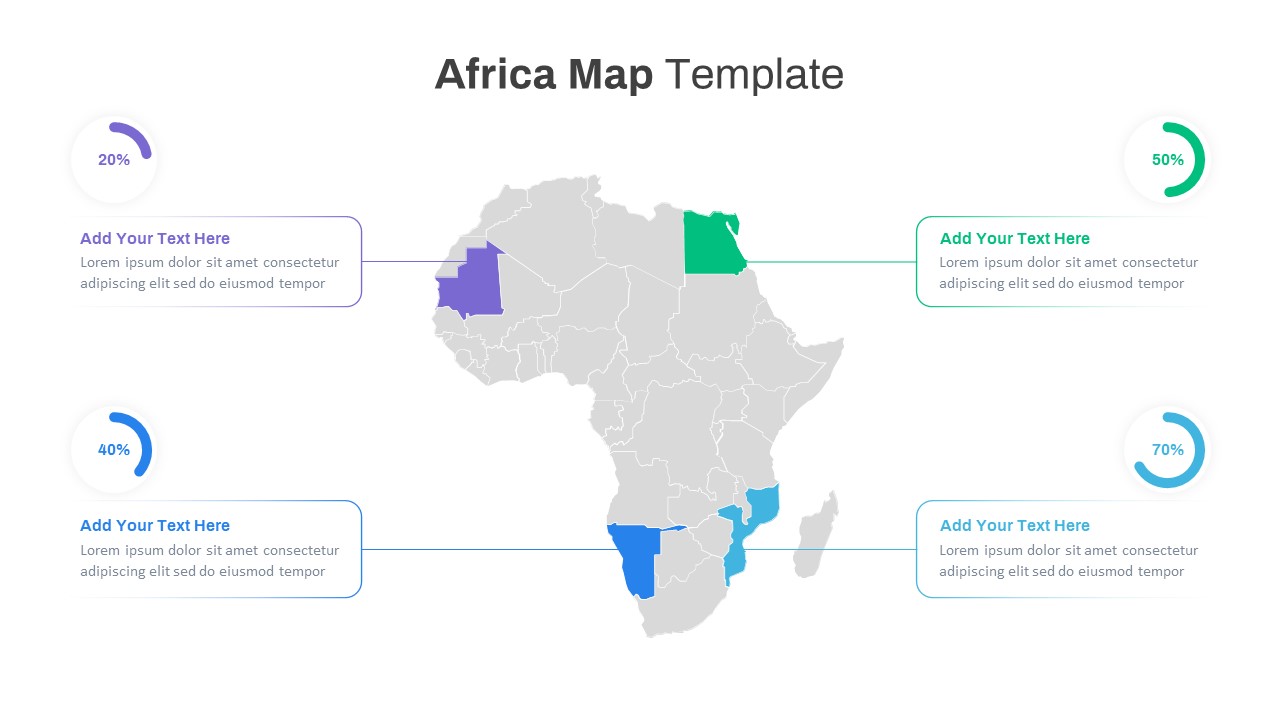
Editable Africa Map Infographic Data Template for PowerPoint & Google Slides
World Maps
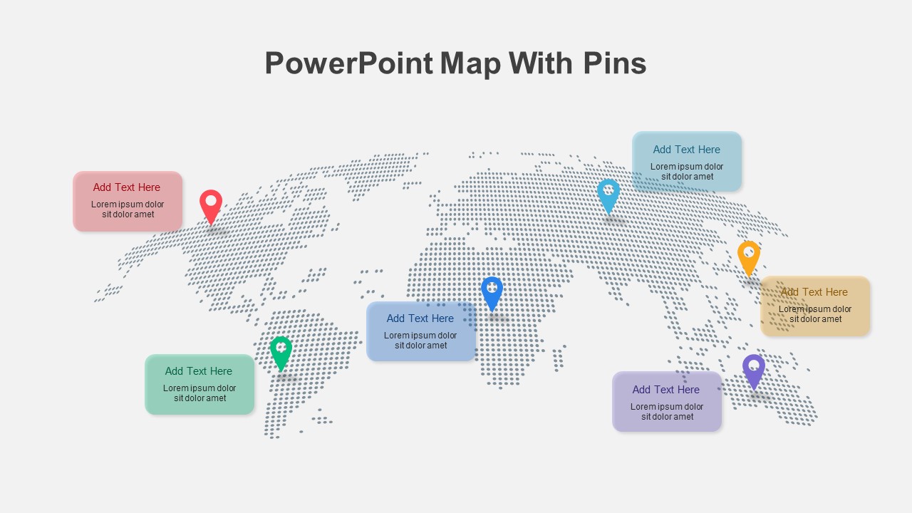
Colorful World Map with Location Pins Template for PowerPoint & Google Slides
World Maps
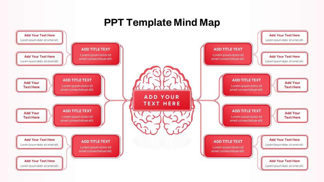
Red Brain Mind Map Diagram Template for PowerPoint & Google Slides
Mind Maps
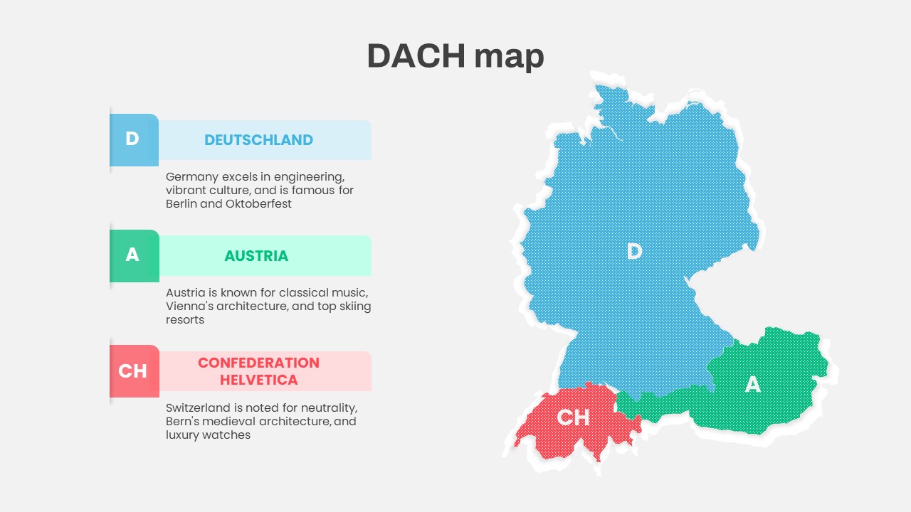
DACH Region Map with Country Highlights Template for PowerPoint & Google Slides
Maps
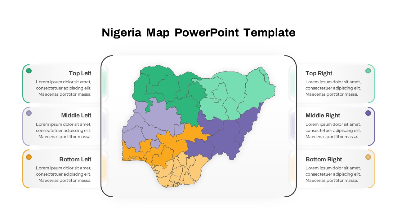
Nigeria Regional Callout Map Diagram Template for PowerPoint & Google Slides
Maps
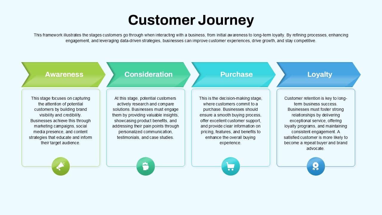
Customer Journey Process Map Infographic Template for PowerPoint & Google Slides
Customer Journey
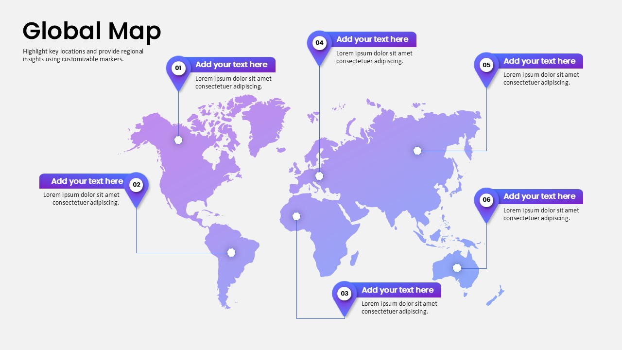
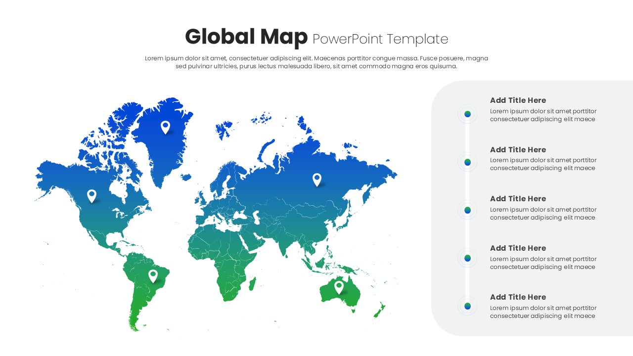
Global Map Highlighting Key Locations template for PowerPoint & Google Slides
World Maps
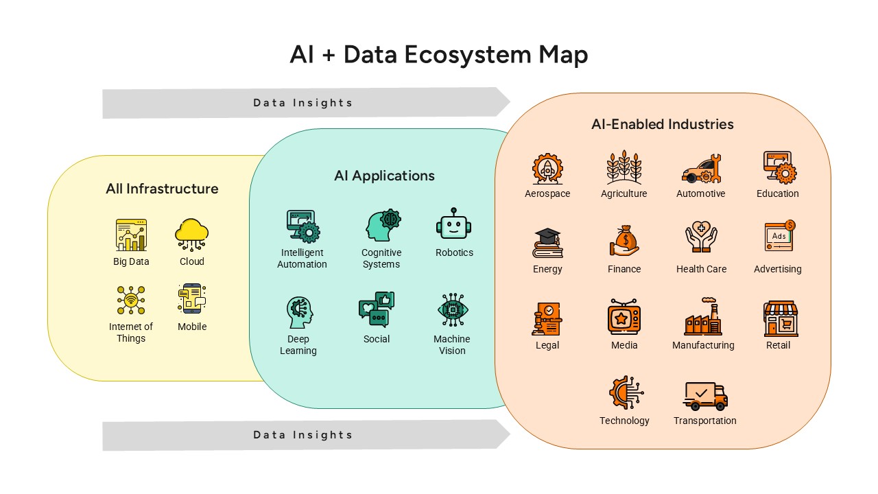
AI and Data Ecosystem Map Template for PowerPoint & Google Slides
AI
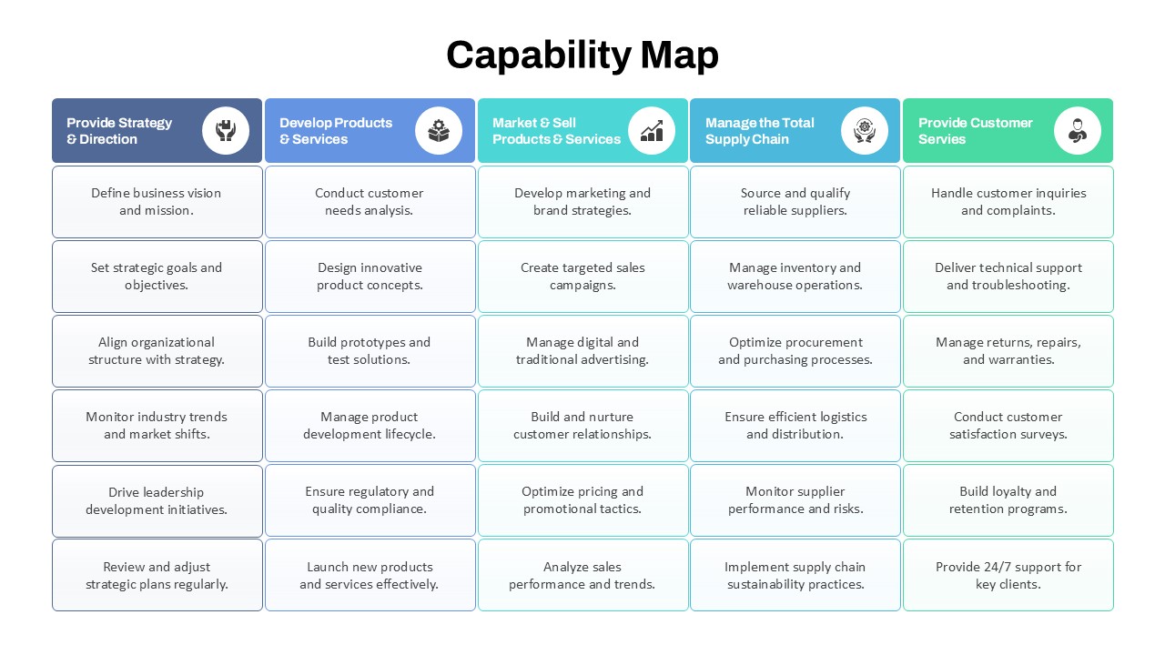
Capability Map Overview Template for PowerPoint & Google Slides
Business Strategy
Global Map with Pinpoint Markers template for PowerPoint & Google Slides
Business
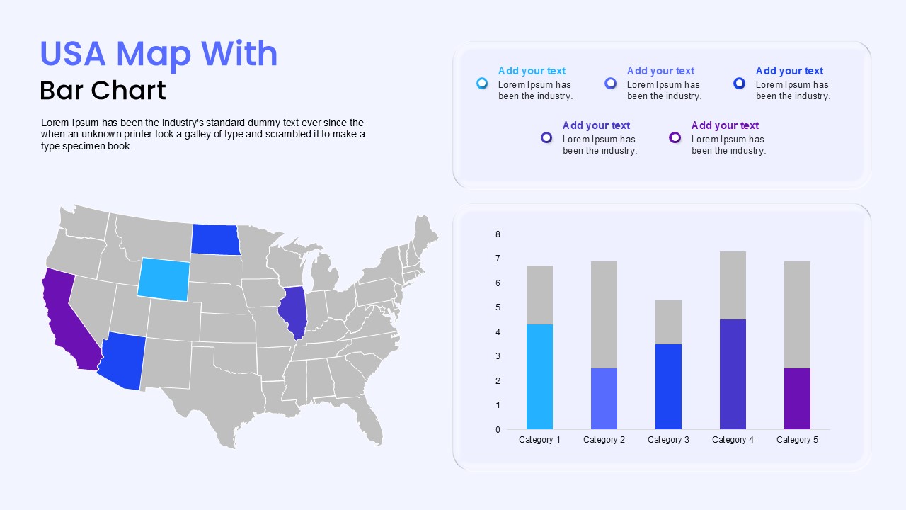
USA Map with Bar Chart Template for PowerPoint & Google Slides
World Maps
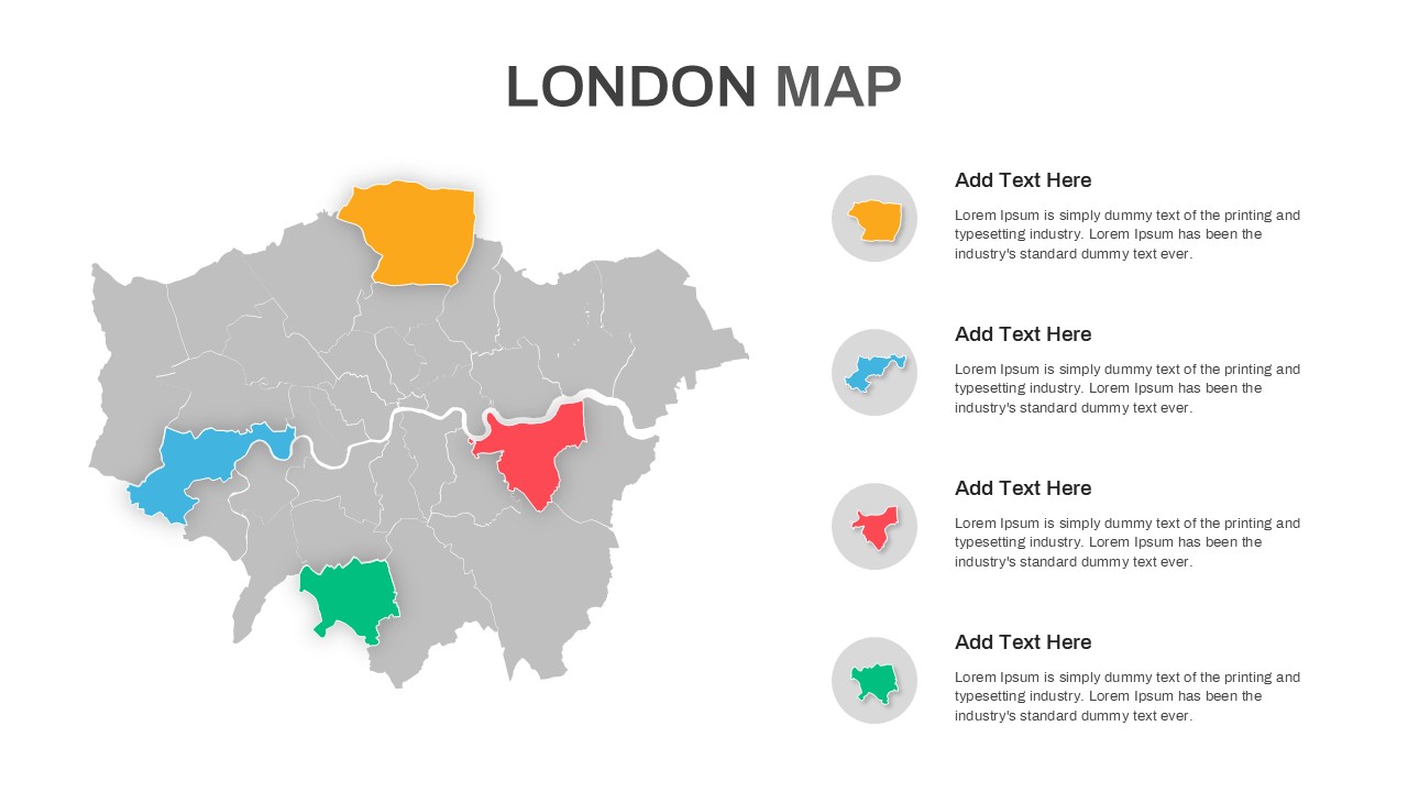
London Map with Highlighted Boroughs Template for PowerPoint & Google Slides
World Maps