World Map Without Names Template for PowerPoint & Google Slides

Description
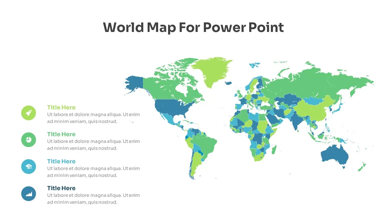
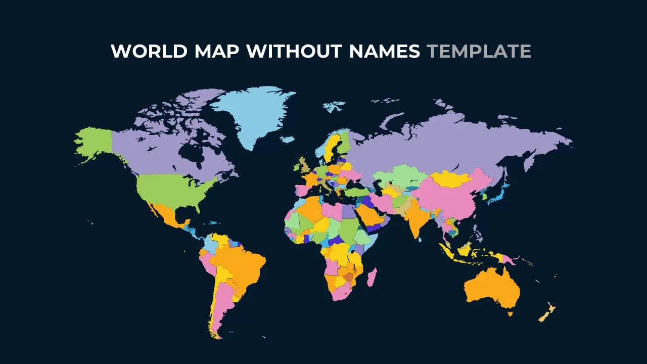
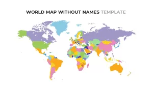
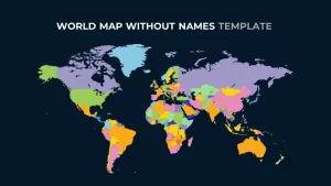
This vibrant, color-coded world map without names offers an ideal solution for presenting geographical regions in a visually appealing way. Each continent is shaded in a unique color, allowing for easy identification and segmentation. The clean, minimalist design ensures the map can be customized for various uses, such as geographic presentations, demographic analysis, or educational purposes. Whether used to illustrate global markets, population trends, or geographic comparisons, this map provides a dynamic way to engage your audience.
Perfect for presentations in a corporate, academic, or professional setting, this slide can be adapted to match your presentation’s color scheme. With editable text boxes and clear geographic boundaries, it’s easy to add labels, highlight specific regions, or integrate additional data. This map works seamlessly across PowerPoint and Google Slides, ensuring your content remains sharp and clear no matter the platform.
Whether you need a high-level overview or a more in-depth focus on specific regions, this map template can be resized and modified to fit your needs. Enhance your presentation’s impact with a visually distinctive map that’s as versatile as it is informative.
Who is it for
This world map is perfect for educators, business professionals, market analysts, and anyone who needs to illustrate global data or trends. It’s also ideal for travel agencies, researchers, and NGOs who regularly present geographical or demographic information.
Other Uses
Besides global trend analysis, this map can be used to highlight regional market strategies, visualize data in reports, track international growth, or compare country-specific performance. The map can also be repurposed for creative uses, such as event planning or logistics mapping, by adapting the colors to represent different categories or regions.
Login to download this file

Item ID
SB02652
Related Templates

World Map Data template for PowerPoint & Google Slides
World Maps
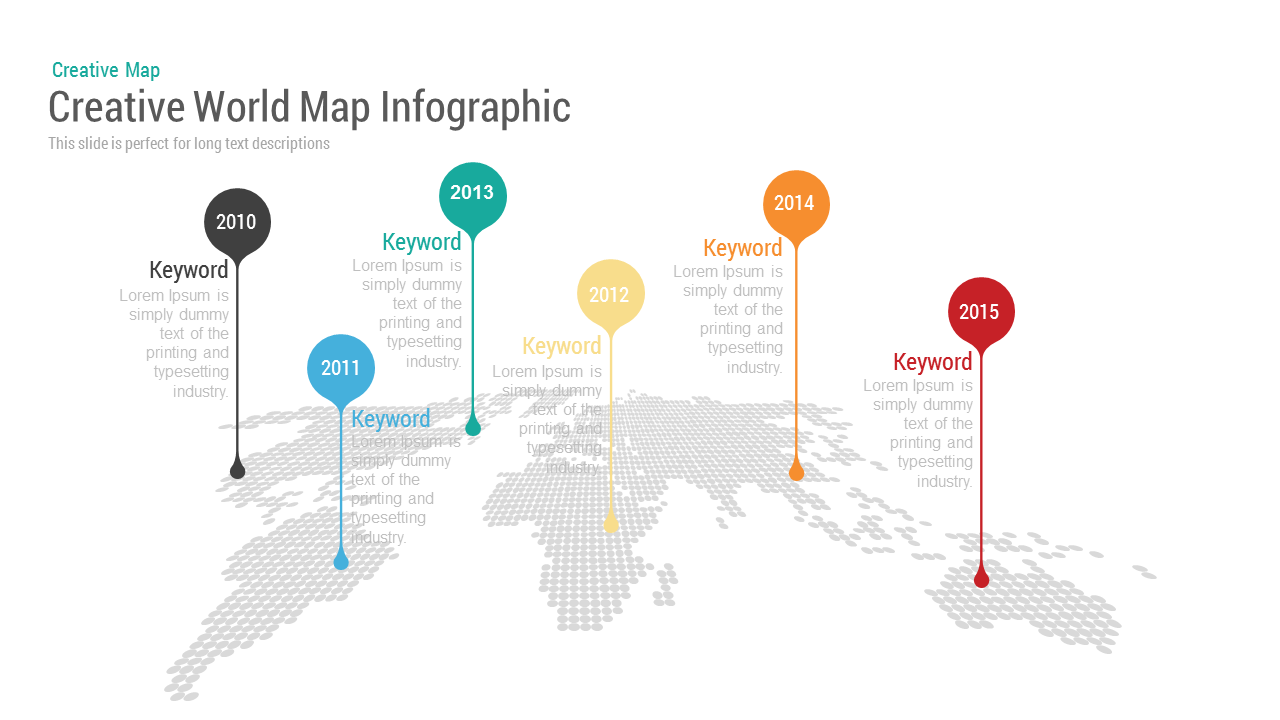
Creative World Map template for PowerPoint & Google Slides
World Maps
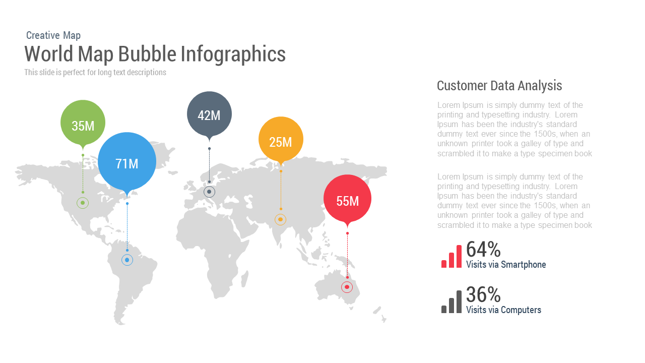
World Map Bubble template for PowerPoint & Google Slides
World Maps

Modern World Map Callout Infographic Template for PowerPoint & Google Slides
World Maps
Fully Editable World Map Infographic Template for PowerPoint & Google Slides
World Maps
Editable World Map Callout Infographic Template for PowerPoint & Google Slides
World Maps
Editable World Map Callout Infographic Template for PowerPoint & Google Slides
World Maps
Colorful World Map with Location Pins Template for PowerPoint & Google Slides
World Maps
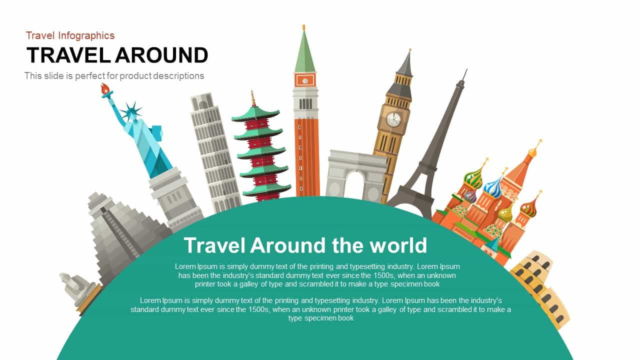
Travel Around World Template for PowerPoint & Google Slides
Infographics
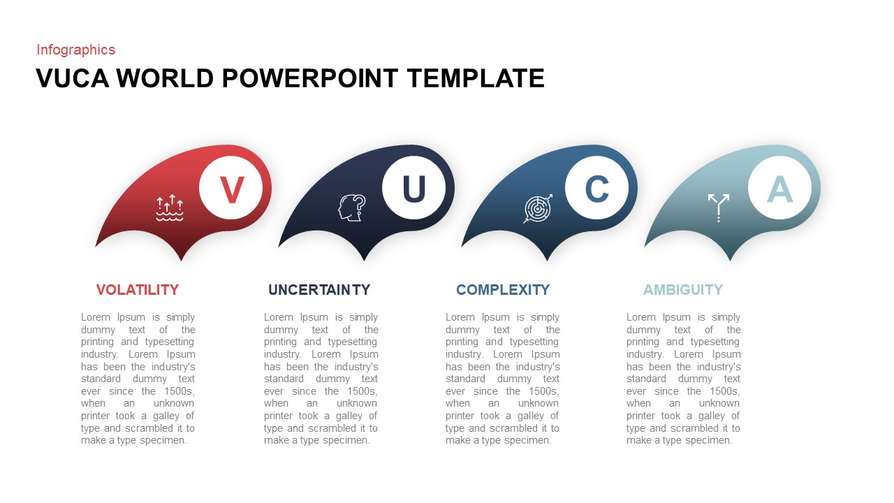
VUCA World Infographic Presentation Template for PowerPoint & Google Slides
Pitch Deck
World Environment Day Celebration Template for PowerPoint & Google Slides
Graphics
Free
Free World UFO Day Slide Template for PowerPoint & Google Slides
Business
Free
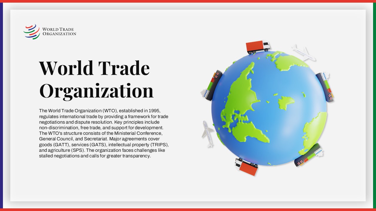
World Trade Organization Profile Template for PowerPoint & Google Slides
Business
World Hello Day Celebration Slide Template for PowerPoint & Google Slides
Graphics
Free World Health Organization Presentation Deck for PowerPoint & Google Slides
Decks
Free
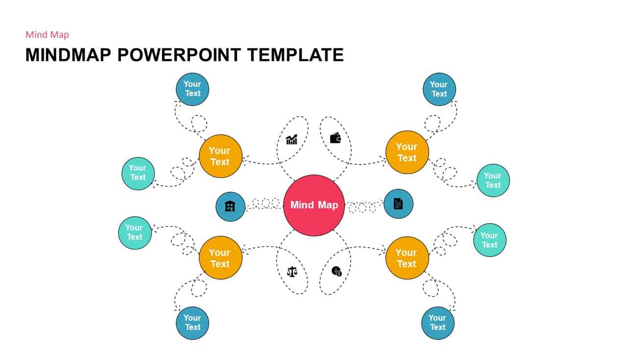
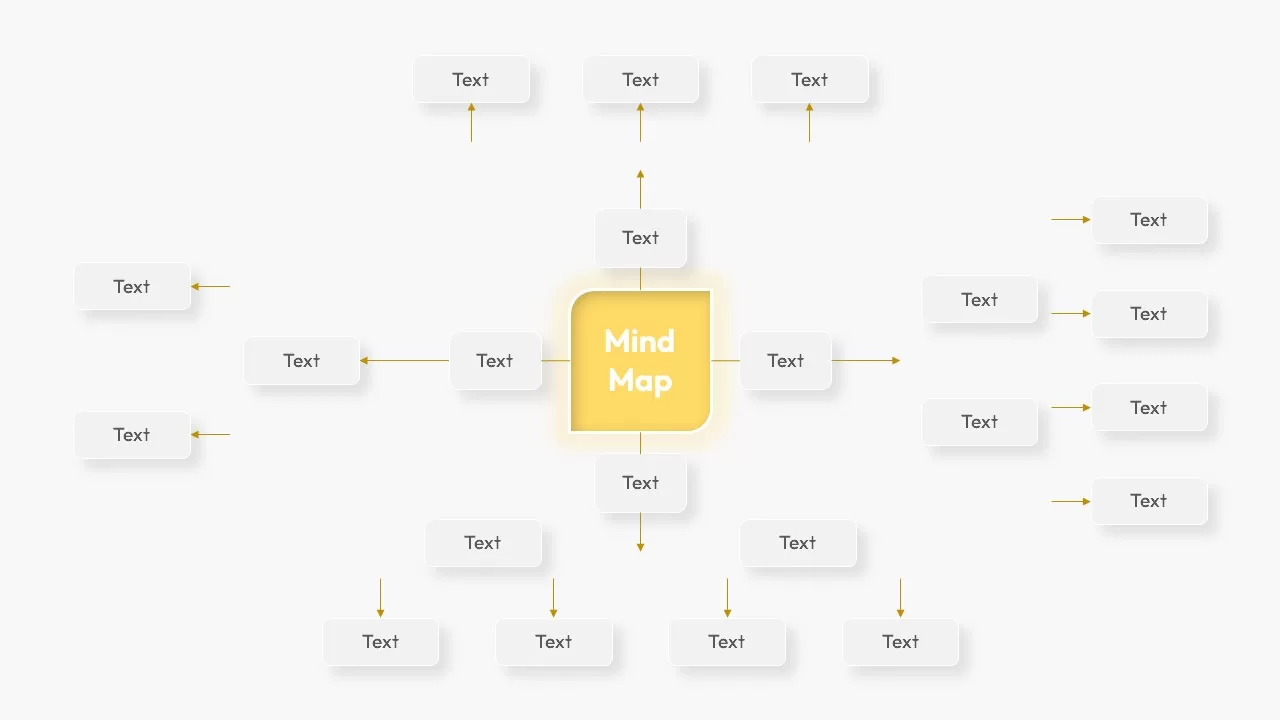
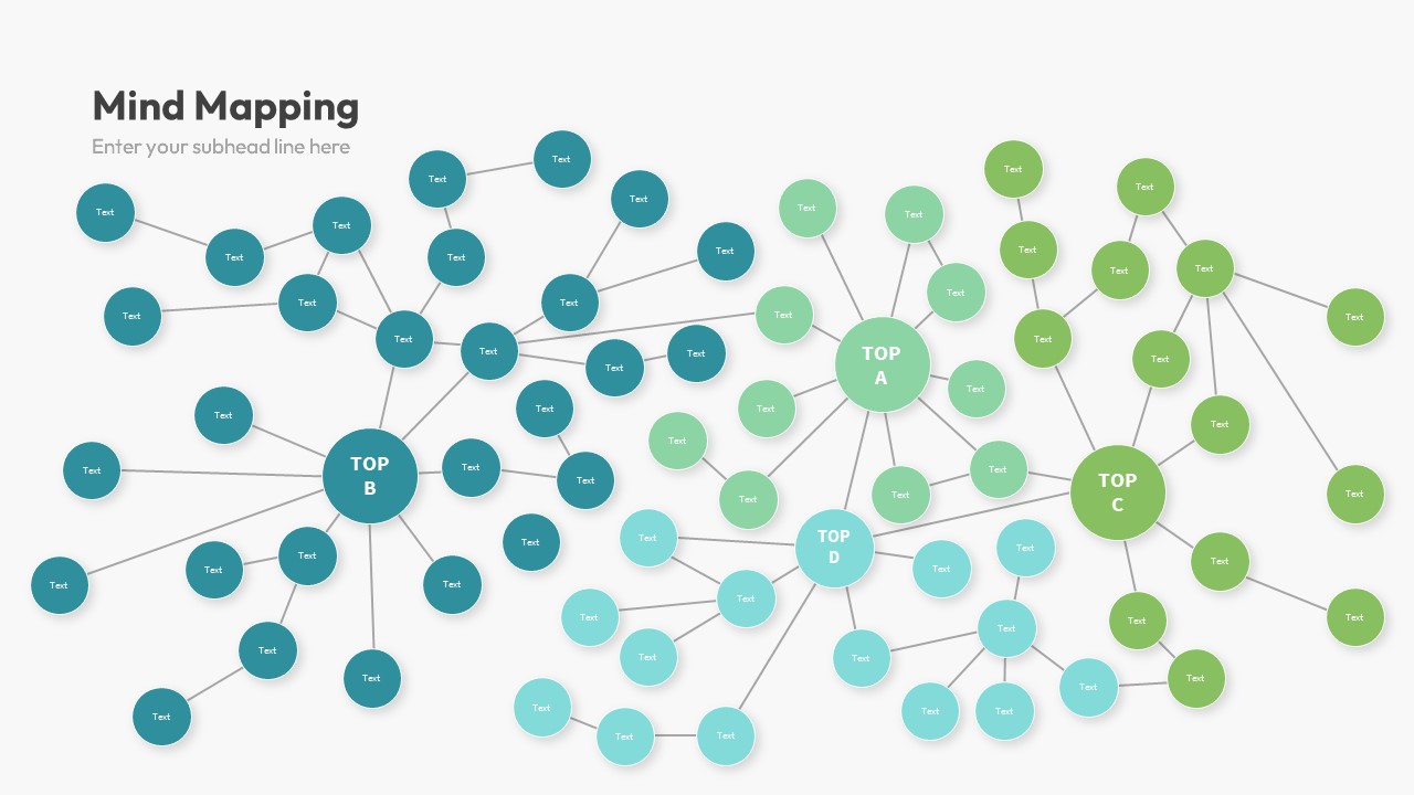
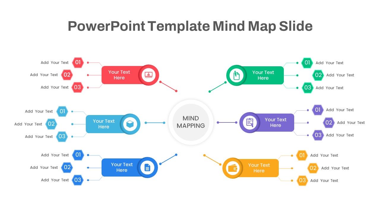
Mind Map PowerPoint template for PowerPoint & Google Slides
Mind Maps
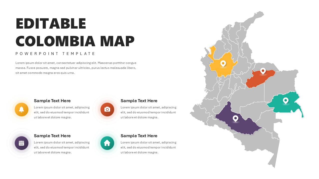
Editable Colombia Map PowerPoint Template for PowerPoint & Google Slides
Business Models
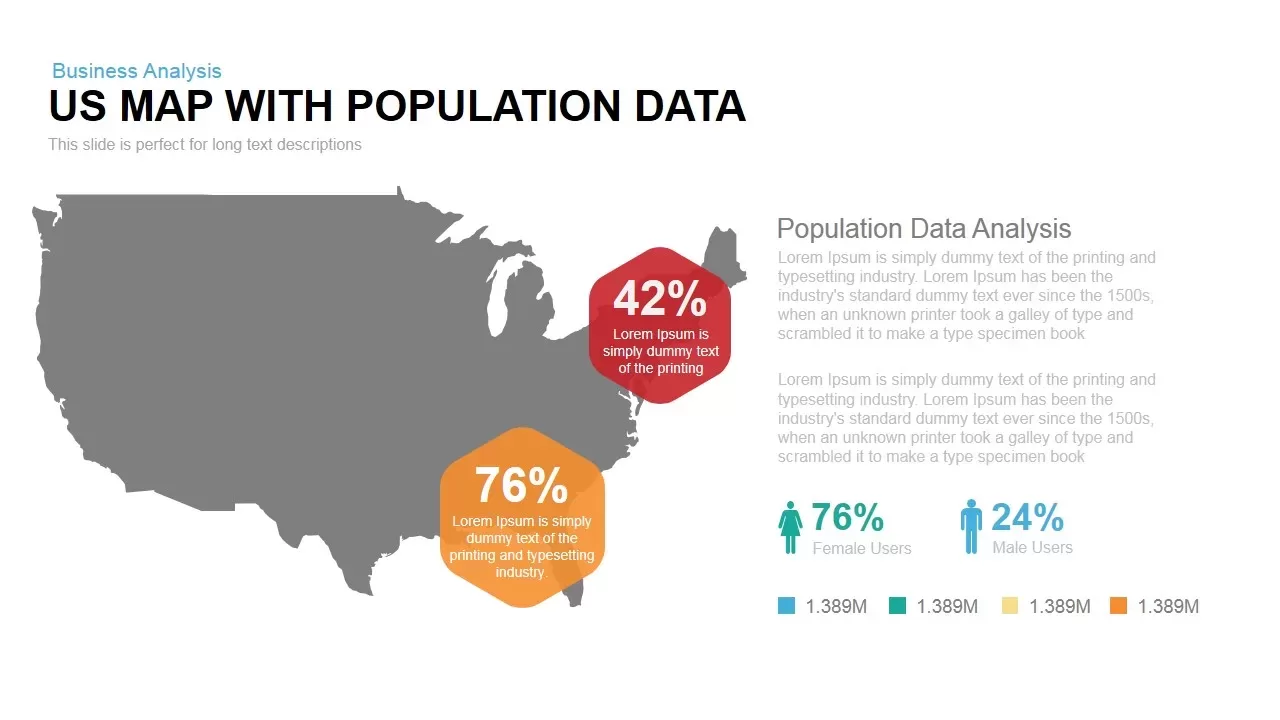
Interactive US Population Data Map Slide Template for PowerPoint & Google Slides
World Maps
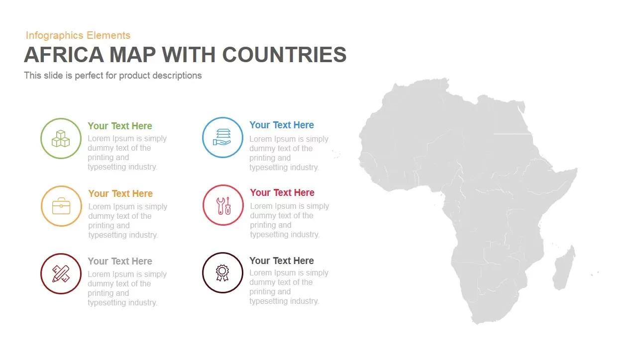
Africa Country Map Infographic Template for PowerPoint & Google Slides
World Maps
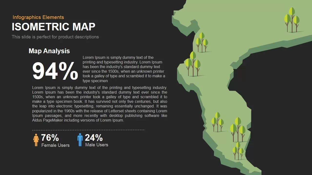
Isometric Map Analysis Slide Template for PowerPoint & Google Slides
World Maps
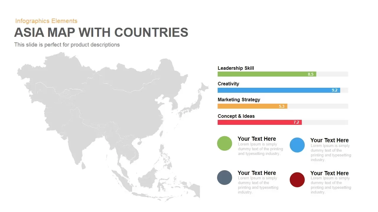
Asia Map with KPI Metrics and Legend Template for PowerPoint & Google Slides
World Maps
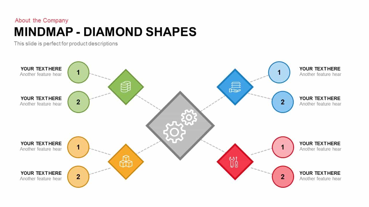
Diamond Mind Map Diagram Four Branches Template for PowerPoint & Google Slides
Mind Maps
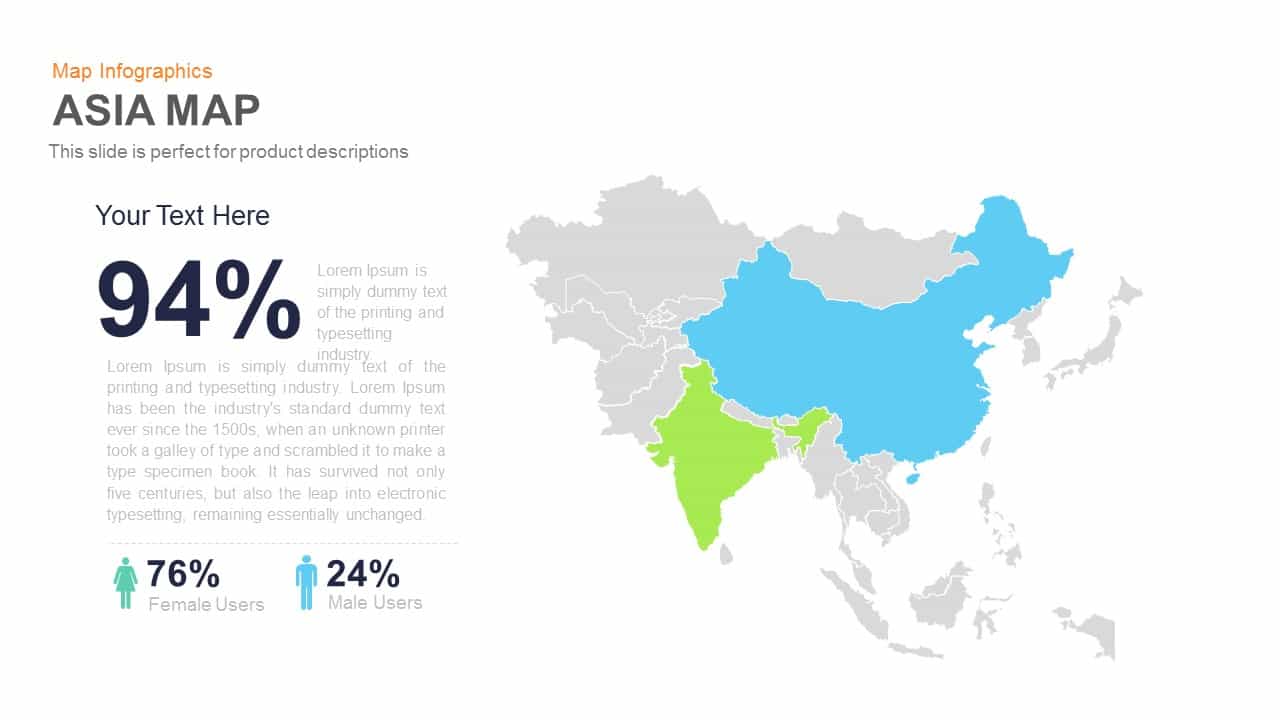
Asia Map Infographic with Demographics template for PowerPoint & Google Slides
World Maps

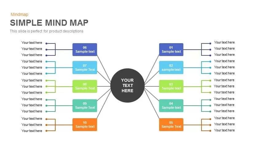
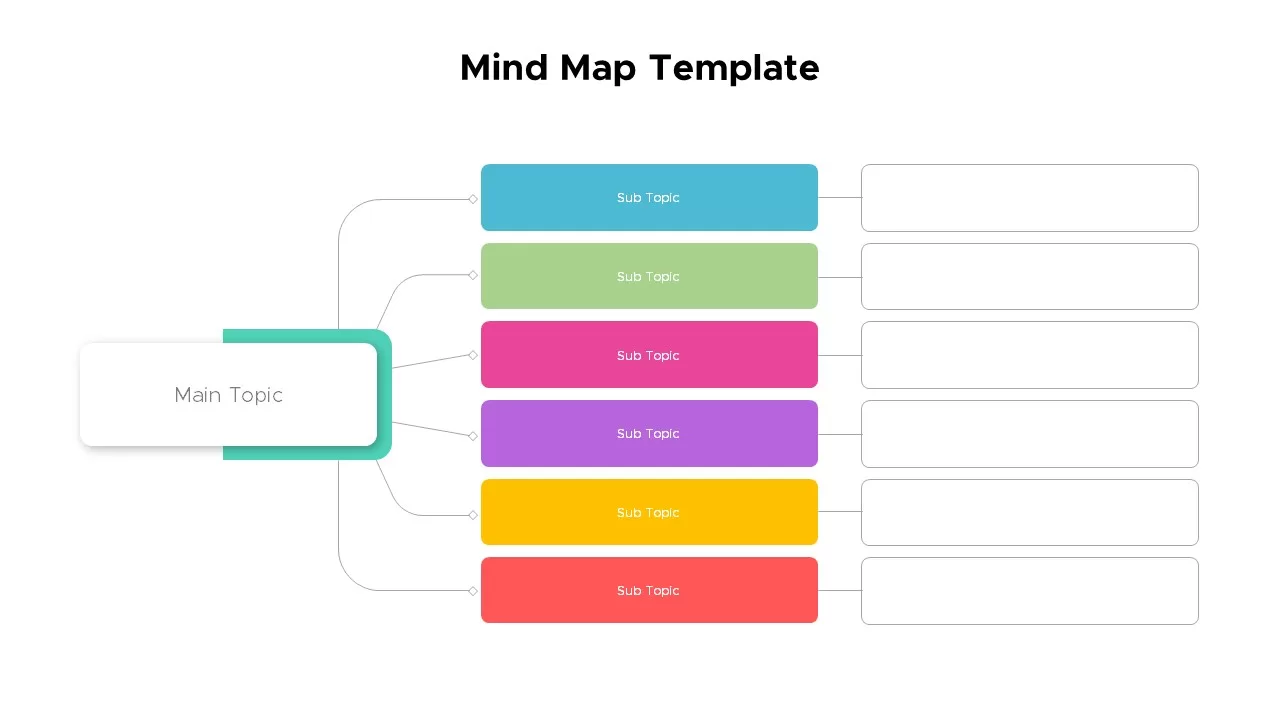
Simple Multi-Branch Mind Map Template for PowerPoint & Google Slides
Mind Maps
Customizable USA Map With State Markers Template for PowerPoint & Google Slides
World Maps
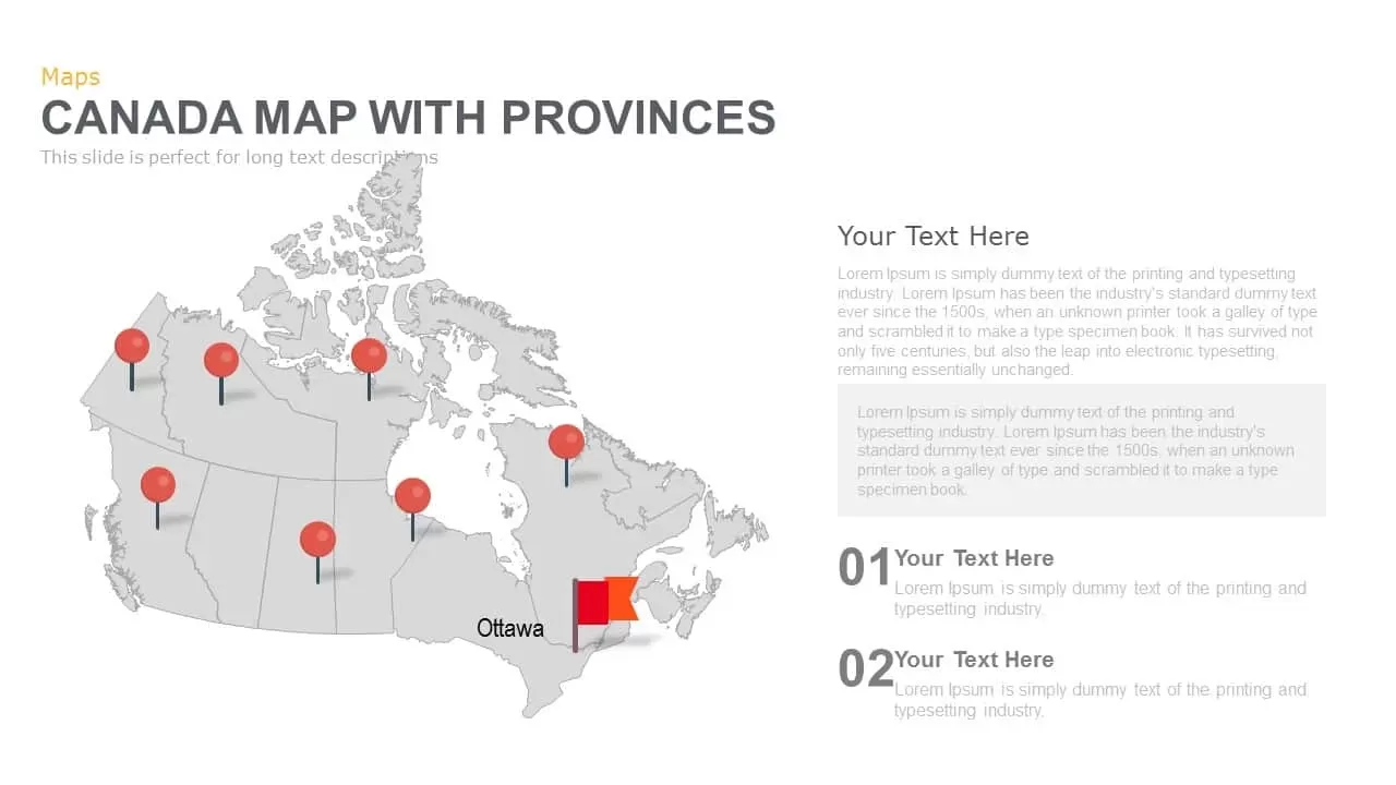
Canada Provinces Map Multi-Layout Template for PowerPoint & Google Slides
World Maps
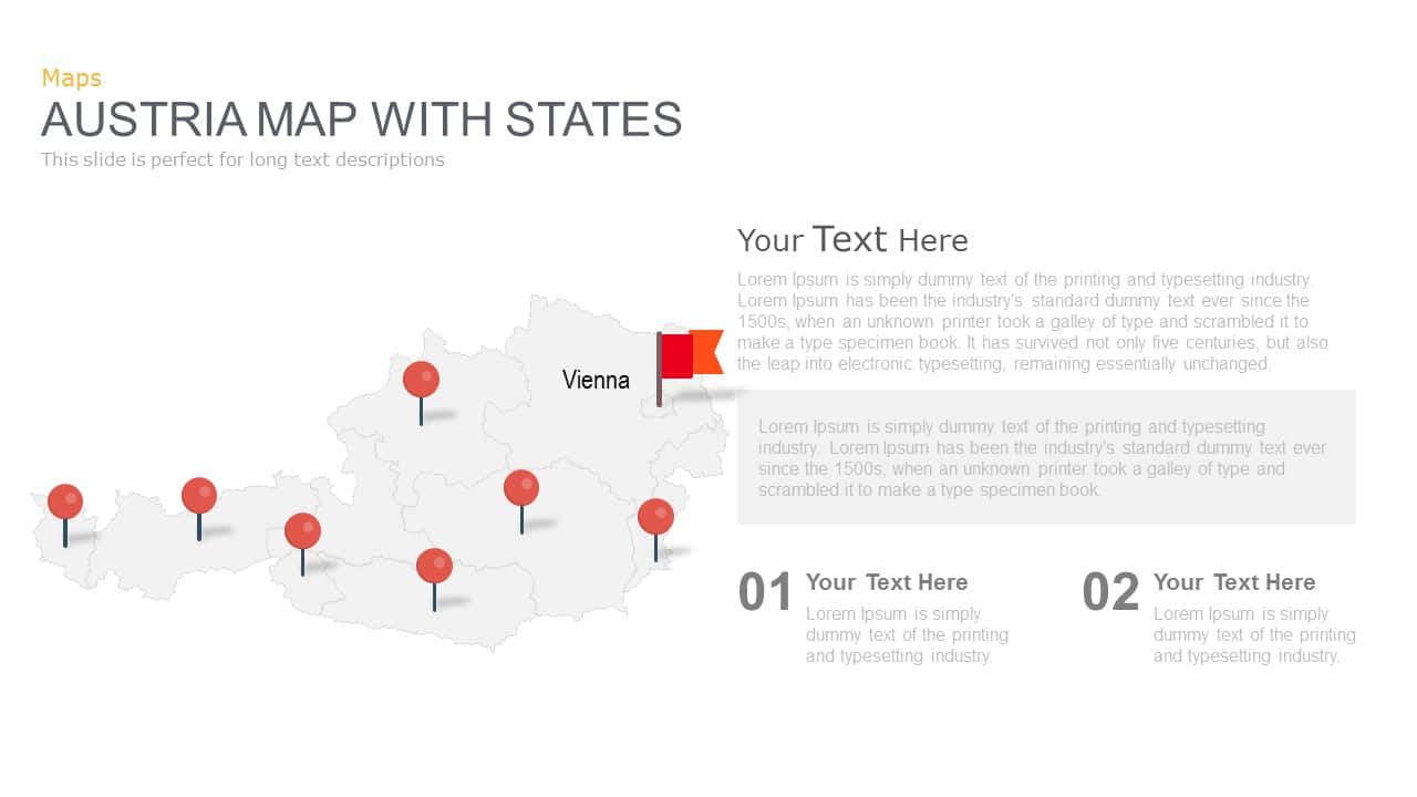
Austria Map With State Markers Template for PowerPoint & Google Slides
World Maps
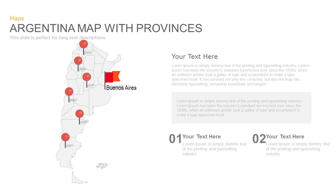
Argentina Province Map Markers Template for PowerPoint & Google Slides
World Maps
Venezuela Map with States and Regions Template for PowerPoint & Google Slides
World Maps
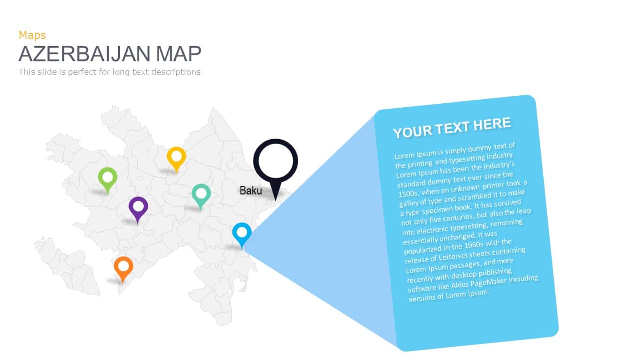
Azerbaijan Map with Provinces & Callouts Template for PowerPoint & Google Slides
World Maps
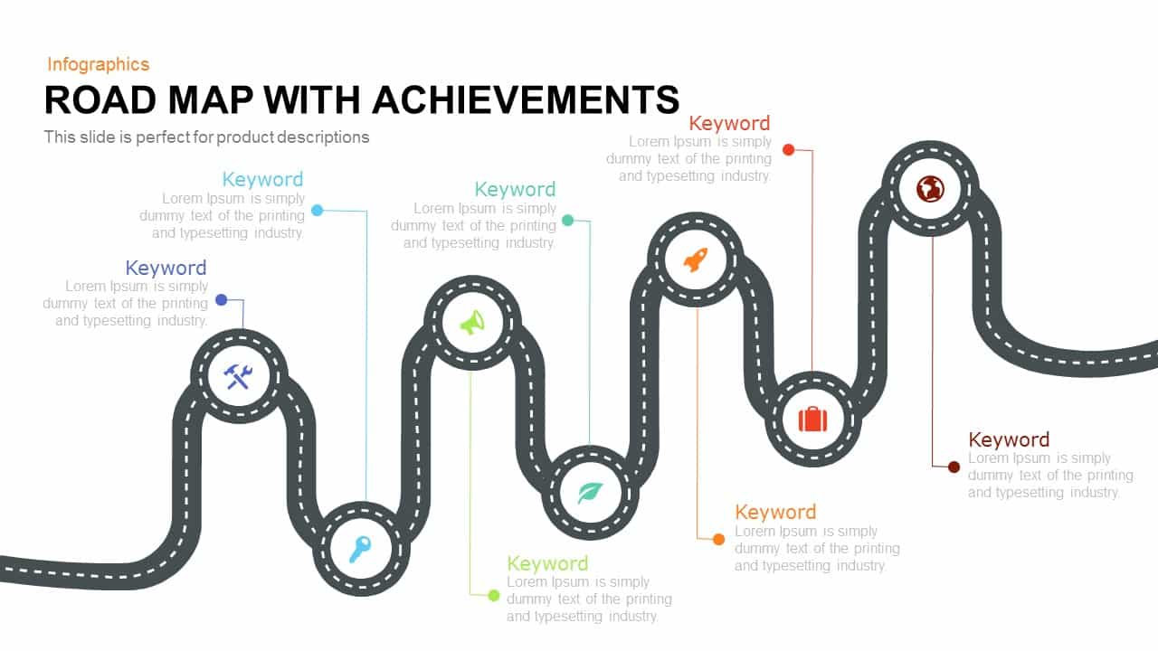
Road Map with Achievements Milestones Template for PowerPoint & Google Slides
Roadmap
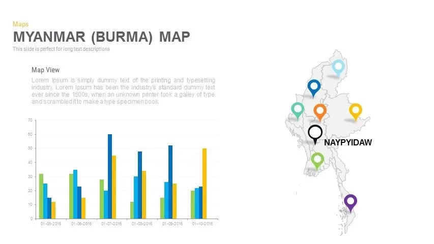
Myanmar (Burma) Provincial Map Infographic Template for PowerPoint & Google Slides
Maps
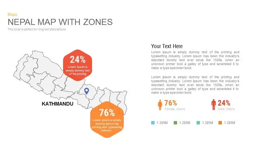
Nepal Map with Zones Infographic Template for PowerPoint & Google Slides
Maps
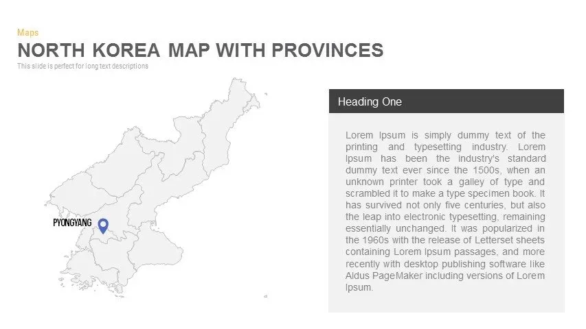
North Korea Map with Provinces Infographic Pack Template for PowerPoint & Google Slides
Maps
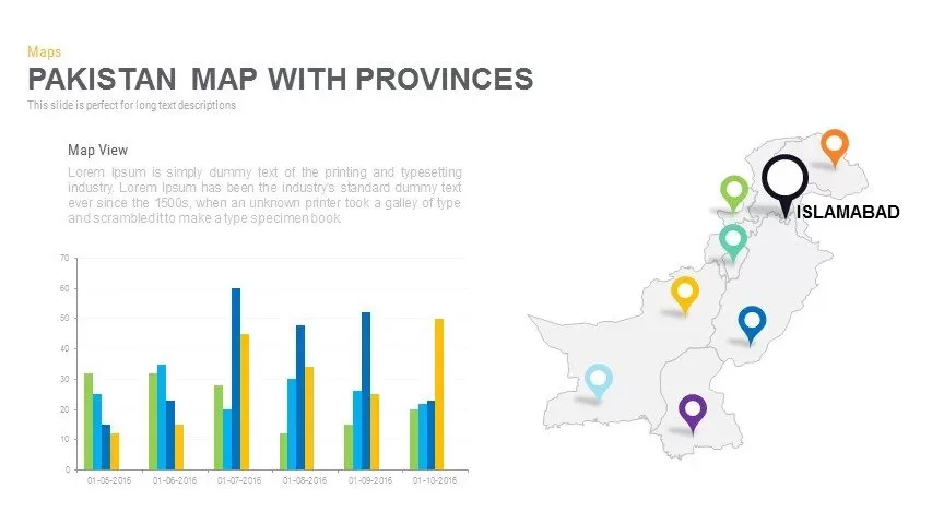
Pakistan Provinces Map Infographic Pack Template for PowerPoint & Google Slides
Maps
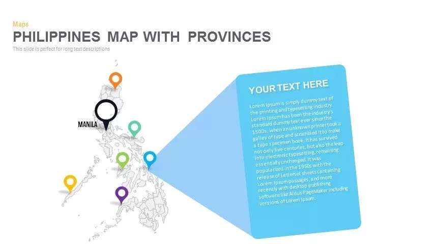
Philippines Map with Provinces Pack Template for PowerPoint & Google Slides
Maps
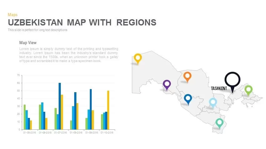
Uzbekistan Map with Regions Pack Template for PowerPoint & Google Slides
Maps
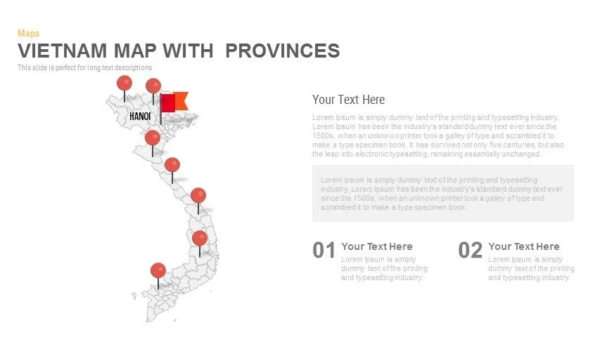
Vietnam Provinces Map Infographic Pack Template for PowerPoint & Google Slides
Maps
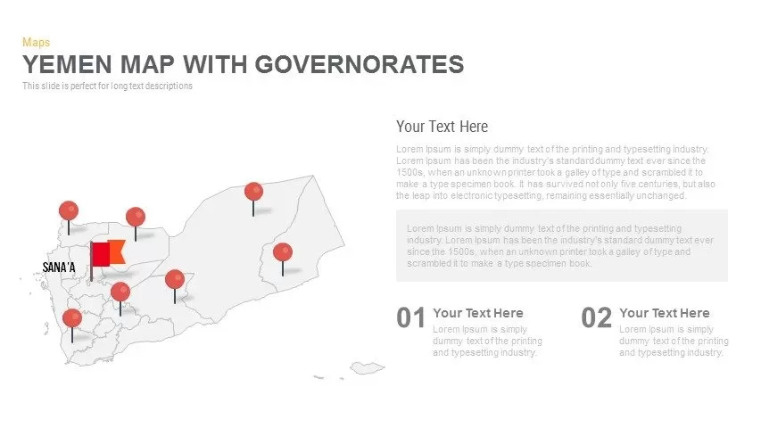
Yemen Governorates Infographic Map Template for PowerPoint & Google Slides
Maps
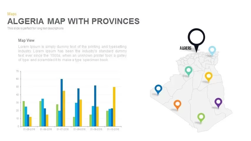
Algeria Map with Provinces Pack Template for PowerPoint & Google Slides
Maps
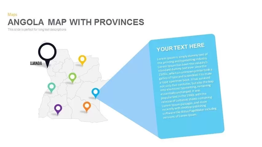
Angola Provinces Map Slide Pack Template for PowerPoint & Google Slides
World Maps
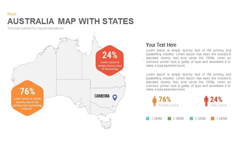
Australia Map with State Markers Template for PowerPoint & Google Slides
Maps
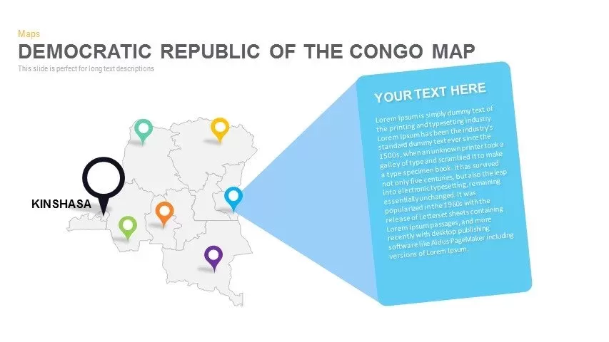
DR Congo Prefecture Map Slide Pack Template for PowerPoint & Google Slides
World Maps
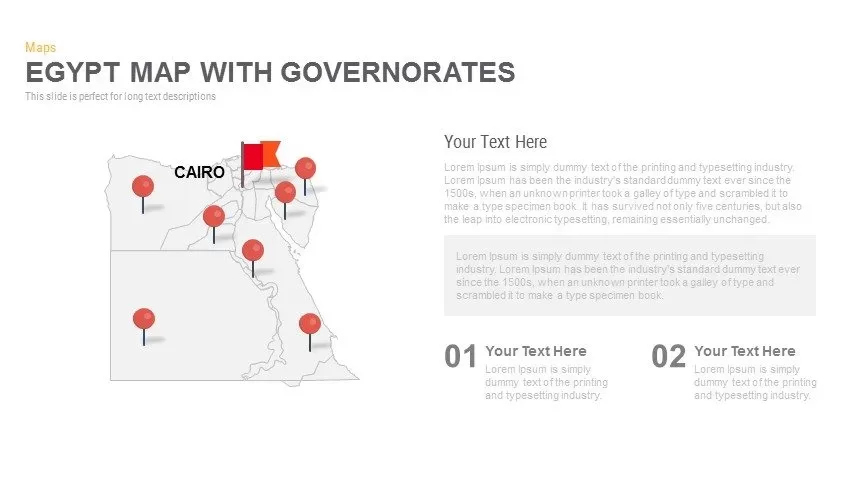
Egypt Regional Map Slide Pack Template for PowerPoint & Google Slides
World Maps
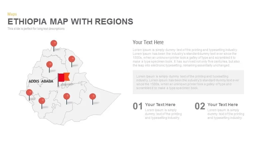
Ethiopia Map with Regions Slide Pack Template for PowerPoint & Google Slides
World Maps
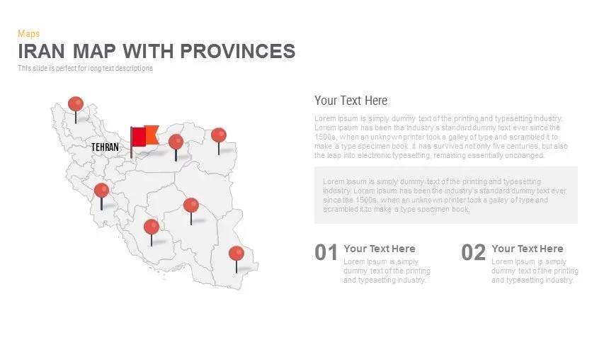
Iran Map with Provinces Slide Pack Template for PowerPoint & Google Slides
World Maps

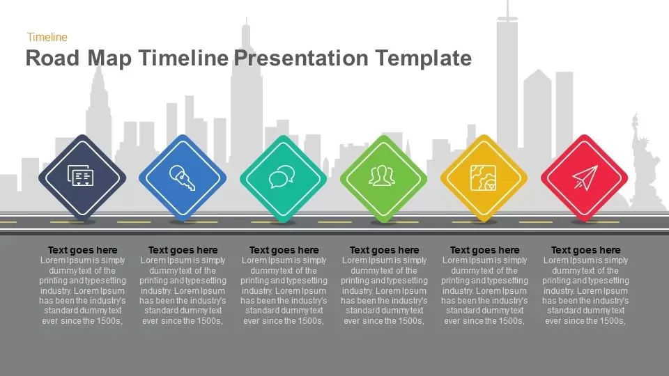
Road Map Timeline Presentation template for PowerPoint & Google Slides
Roadmap

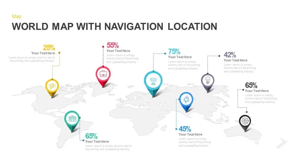
Global Map with Location Markers Template for PowerPoint & Google Slides
World Maps

Multi-Cluster Mind Map Infographic Template for PowerPoint & Google Slides
Mind Maps
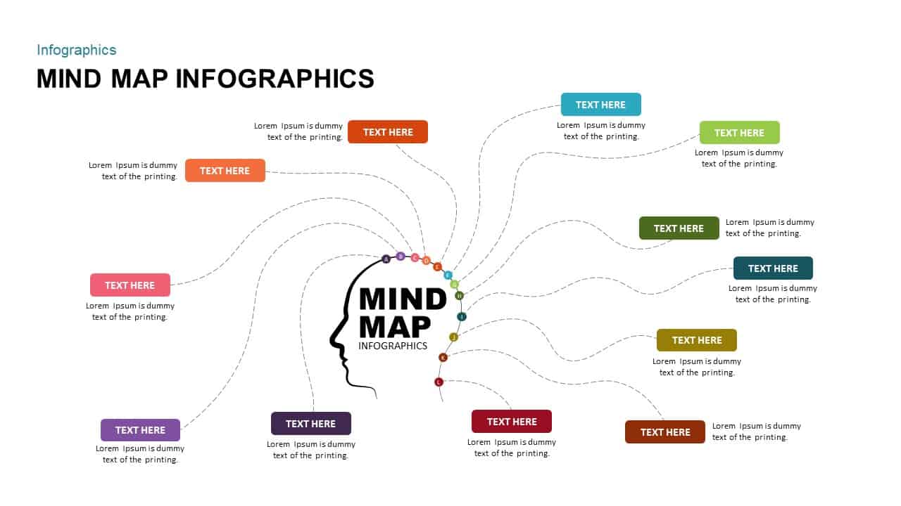
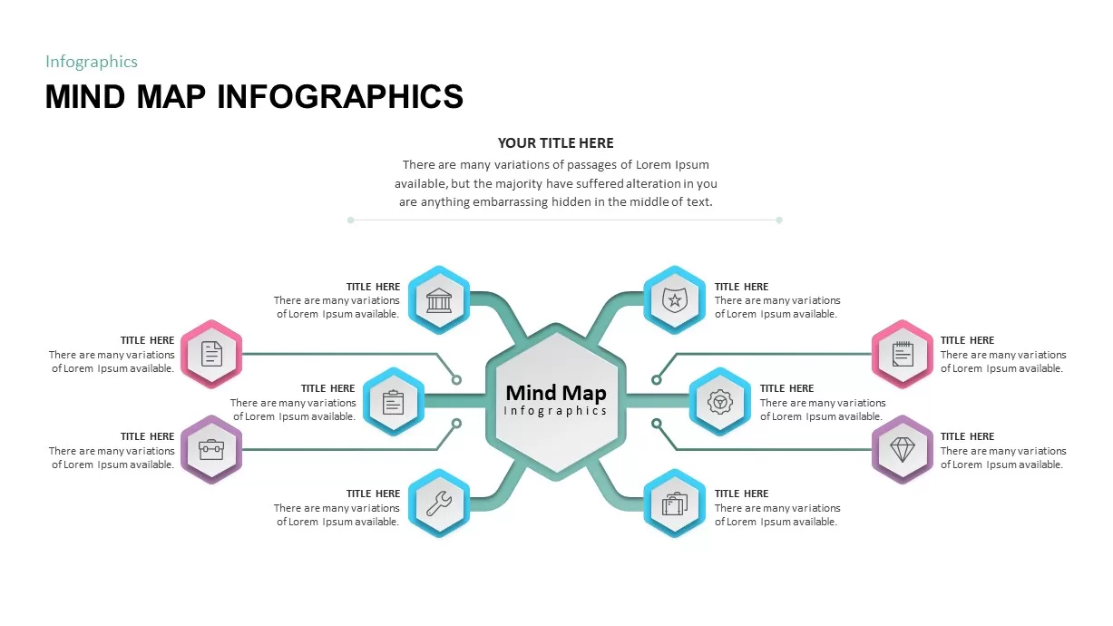
Mind Map Infographics template for PowerPoint & Google Slides
Mind Maps
Eight-Node Mind Map Infographic Diagram Template for PowerPoint & Google Slides
Mind Maps
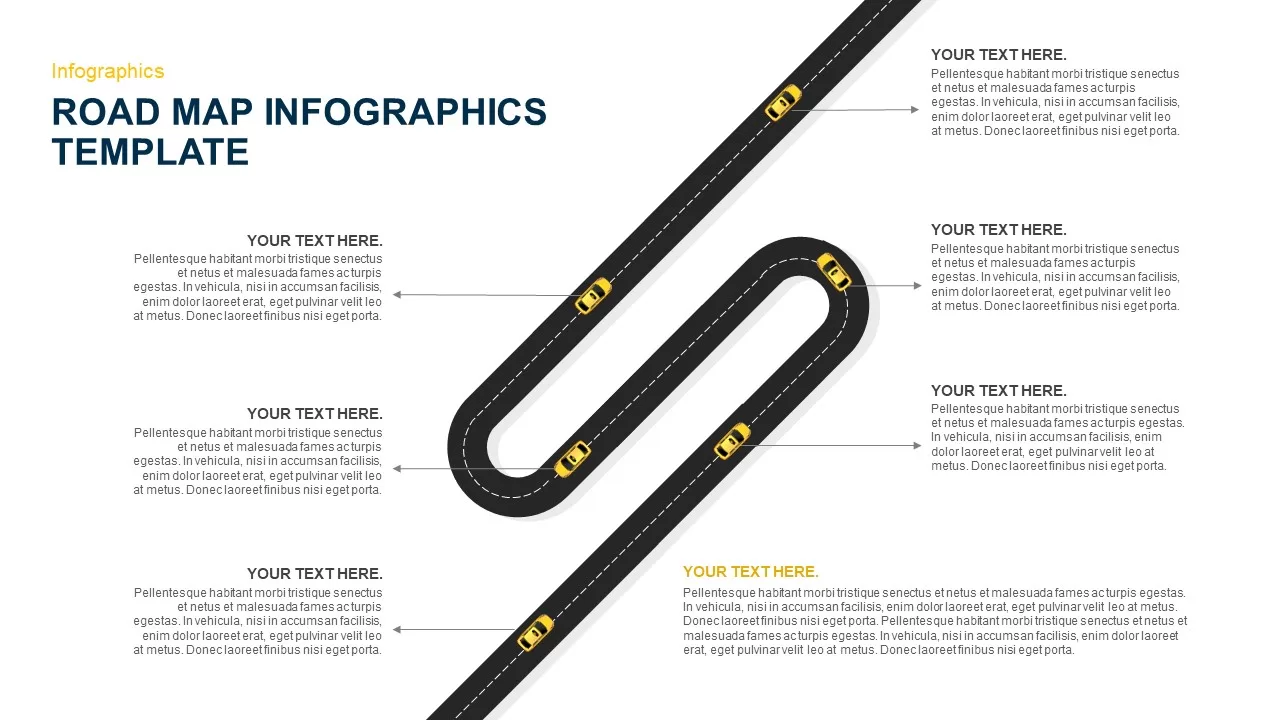
Six-Stage Road Map Infographic Timeline Template for PowerPoint & Google Slides
Roadmap
Versatile Mind Map Infographic Template for PowerPoint & Google Slides
Mind Maps
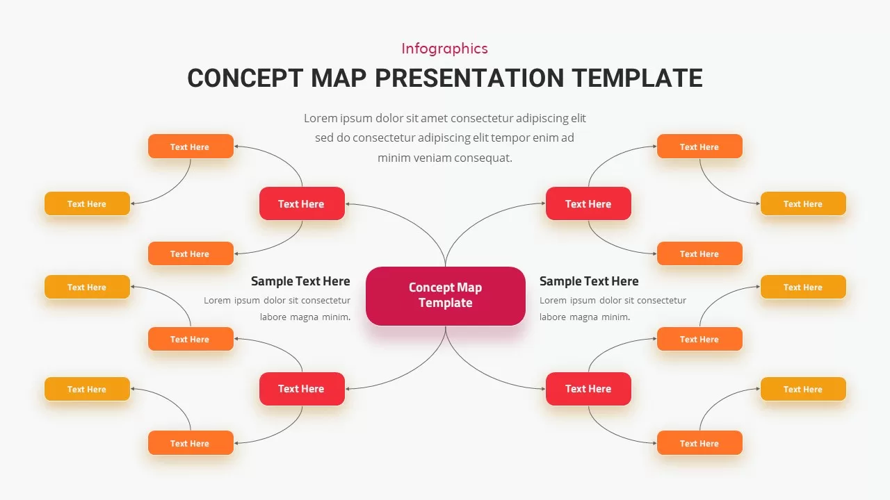
Concept Map Presentation Template for PowerPoint & Google Slides
Mind Maps
Structured Mind Map Infographic Diagram Template for PowerPoint & Google Slides
Mind Maps
Dual Topic Mind Map Infographic Template for PowerPoint & Google Slides
Mind Maps
Tri-Cluster Mind Map Infographic Template for PowerPoint & Google Slides
Mind Maps
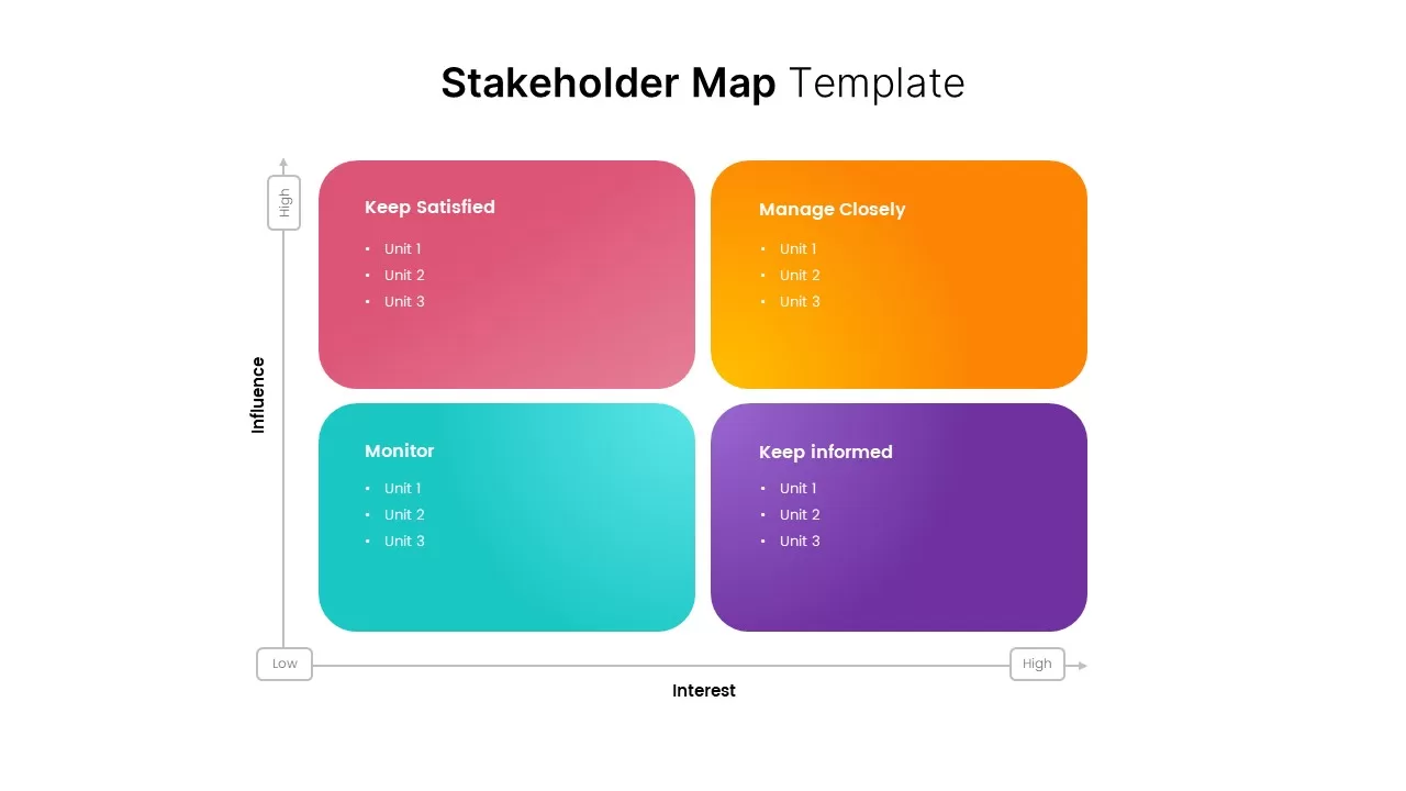
Stakeholder Map Template for PowerPoint & Google Slides
Business
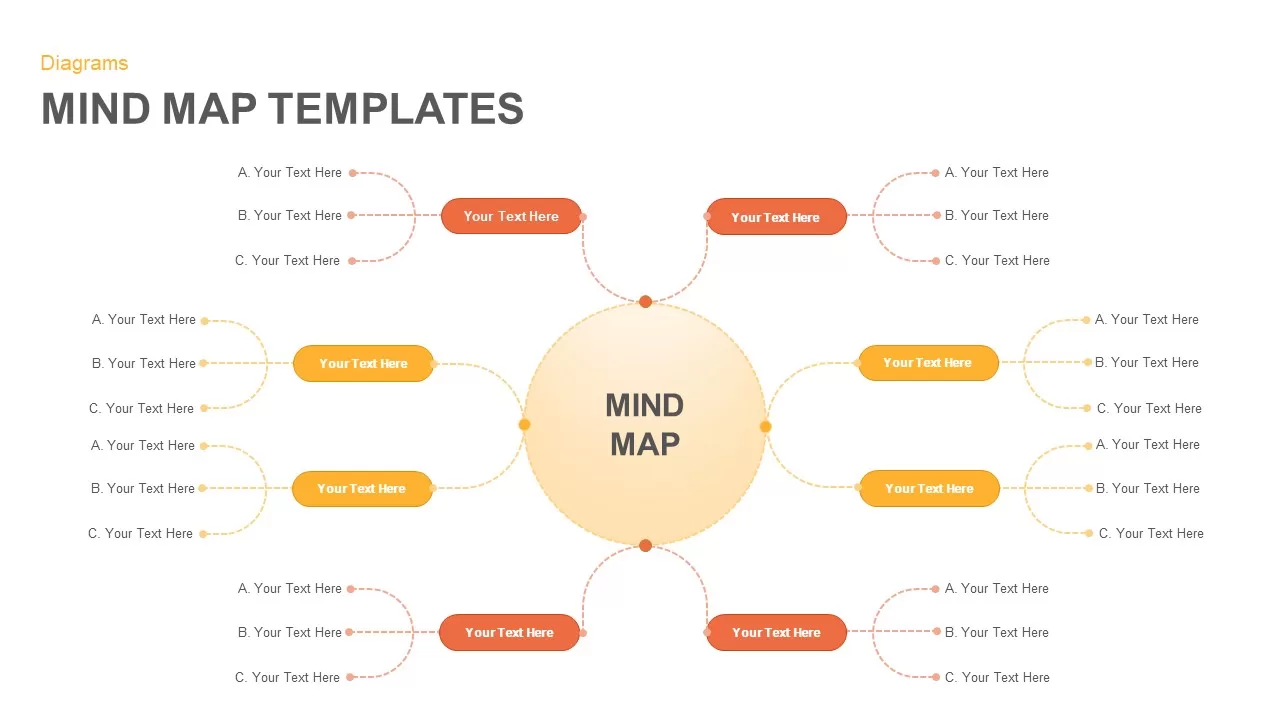
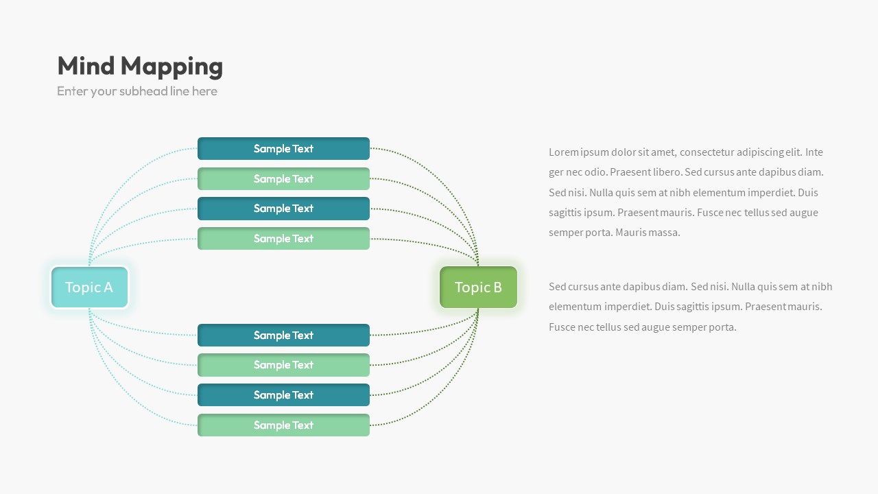
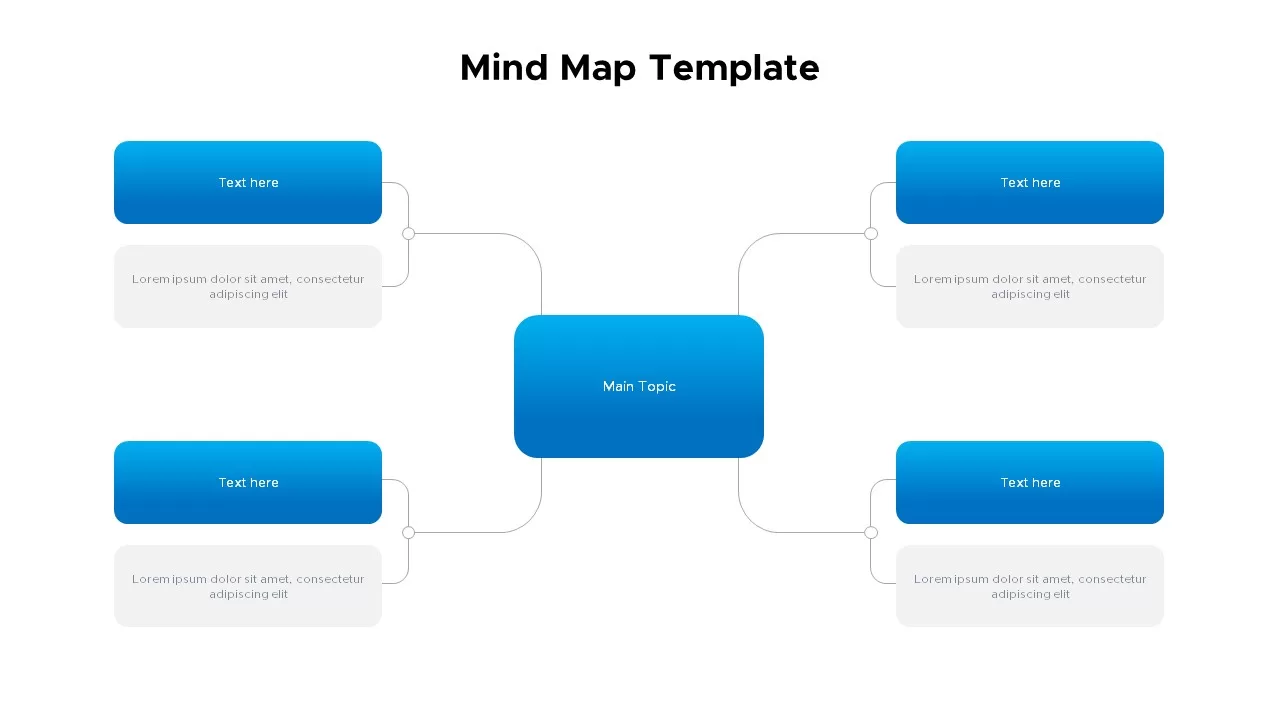
Mind Map Template for PowerPoint & Google Slides
Mind Maps
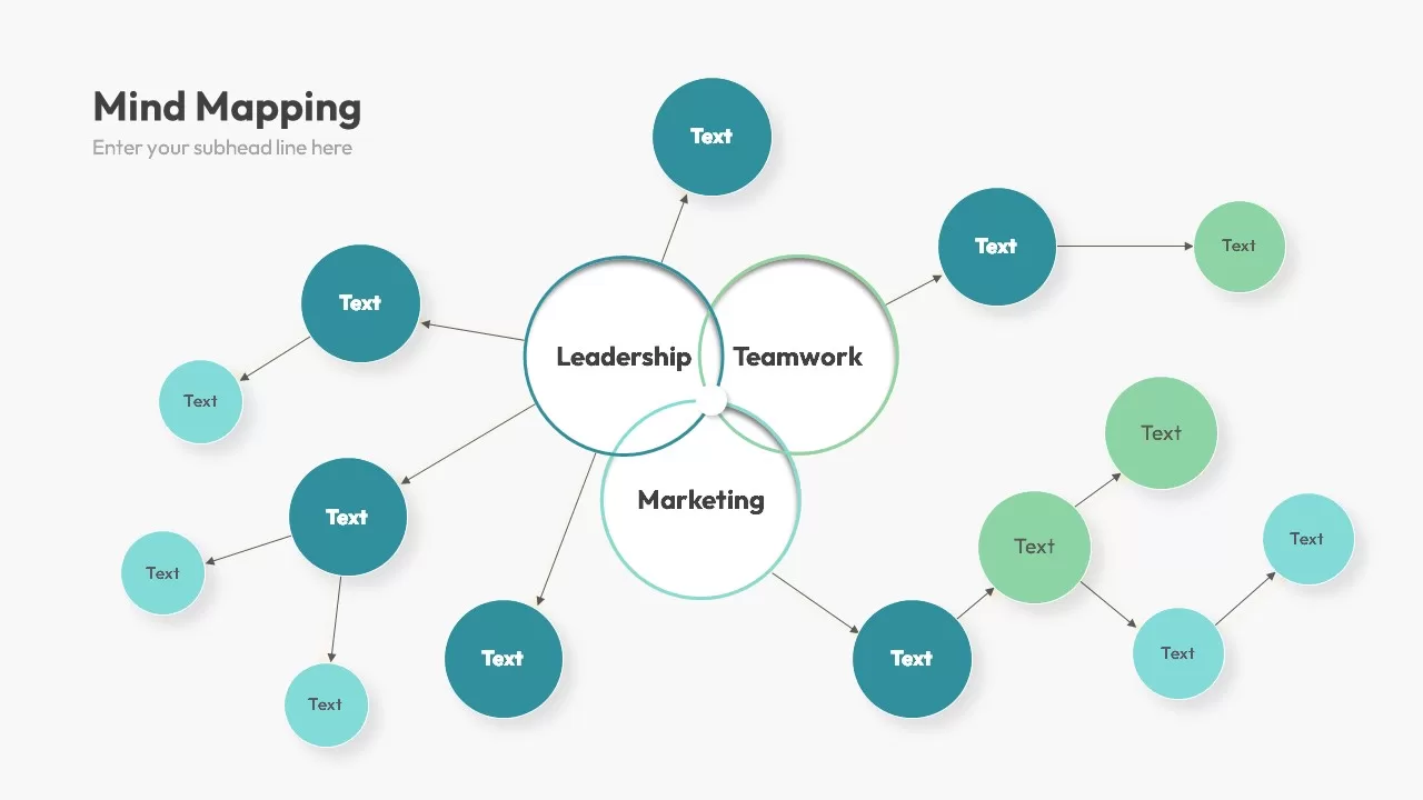
Colorful Mind Map Template for PowerPoint & Google Slides
Mind Maps
Colorful Mind Map Template for PowerPoint & Google Slides
Mind Maps
North America Location Pin Map Overview Template for PowerPoint & Google Slides
World Maps
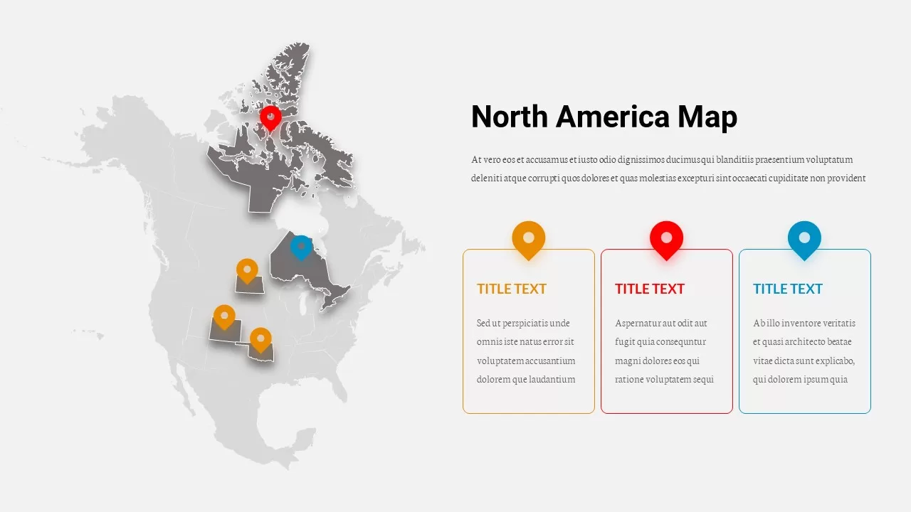
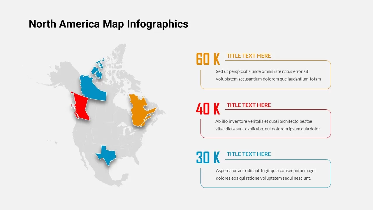
North America Map Infographic Slide Template for PowerPoint & Google Slides
World Maps
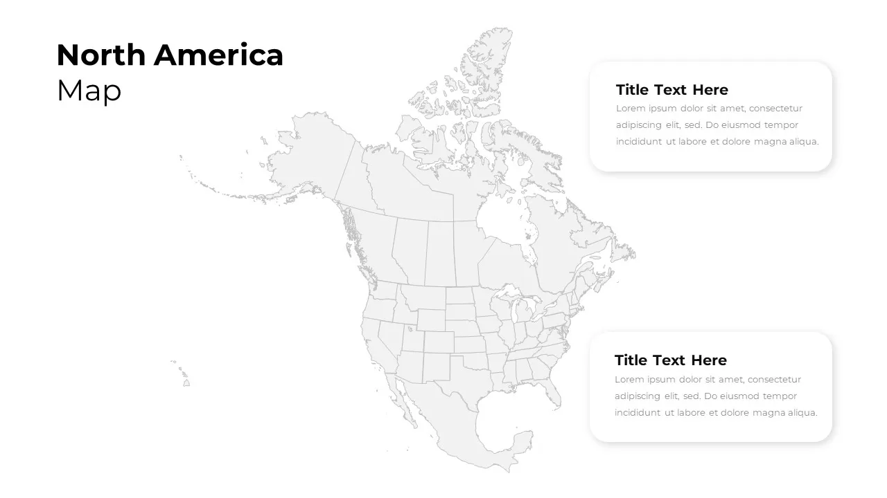
North America Regional Map Overview Template for PowerPoint & Google Slides
World Maps
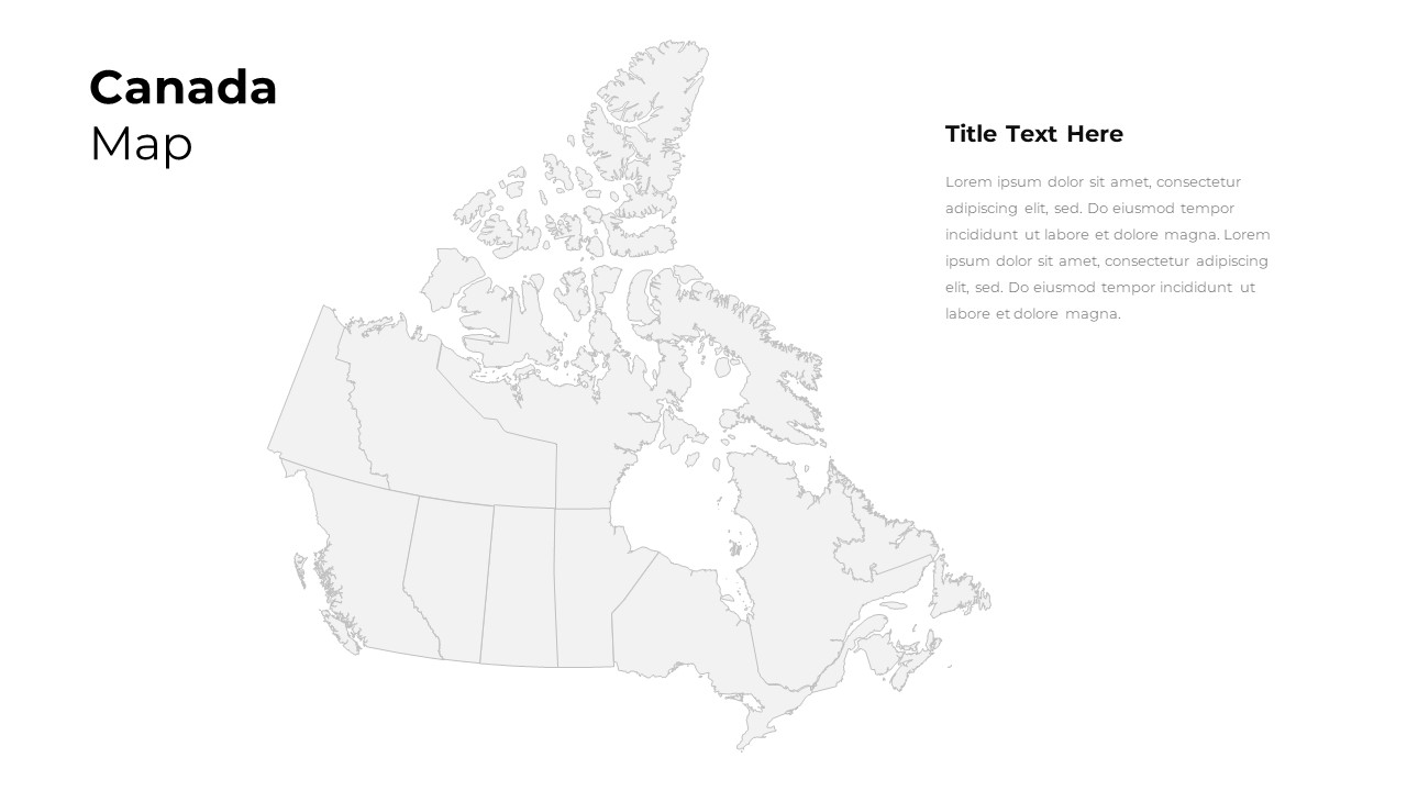
Customizable Canada Map Outline Template for PowerPoint & Google Slides
World Maps
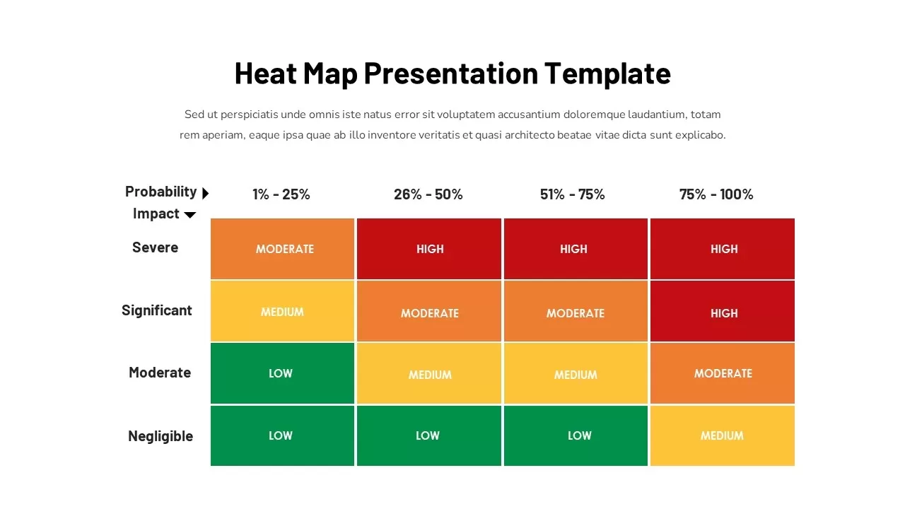
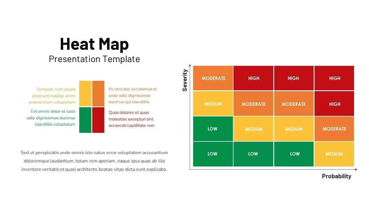
Heat Map Risk Assessment Presentation Template for PowerPoint & Google Slides
Risk Management
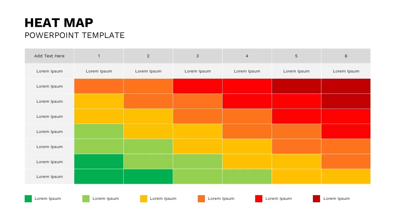
Professional Risk Heat Map Visualization Template for PowerPoint & Google Slides
Risk Management
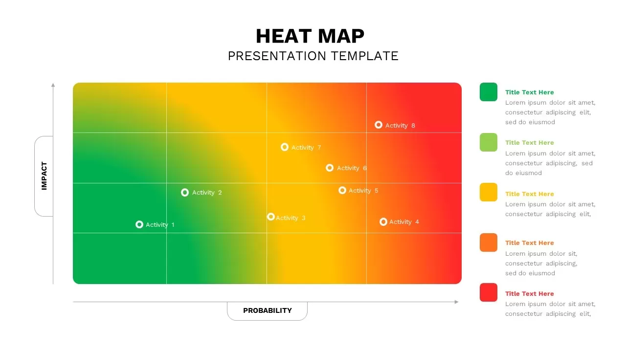
Professional Interactive Heat Map Matrix Template for PowerPoint & Google Slides
Comparison Chart
Heat Map Risk Matrix Dashboard Template for PowerPoint & Google Slides
Comparison Chart
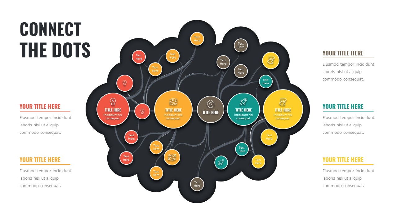
Connect the Dots Mind Map Diagram Template for PowerPoint & Google Slides
Mind Maps
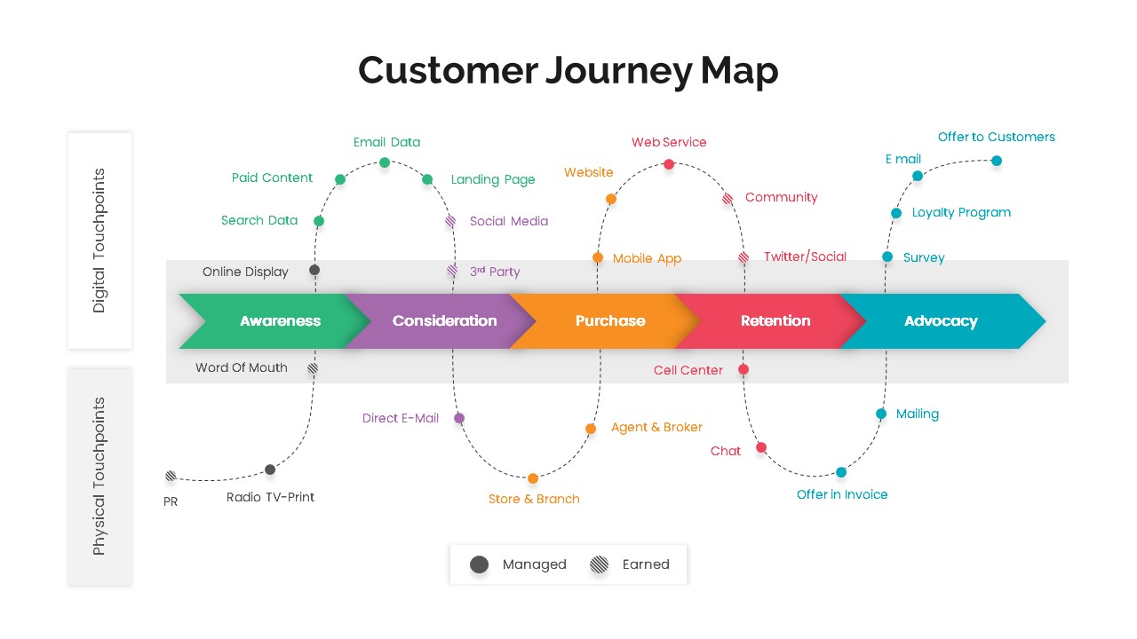
Versatile Customer Journey Map Template for PowerPoint & Google Slides
Customer Journey
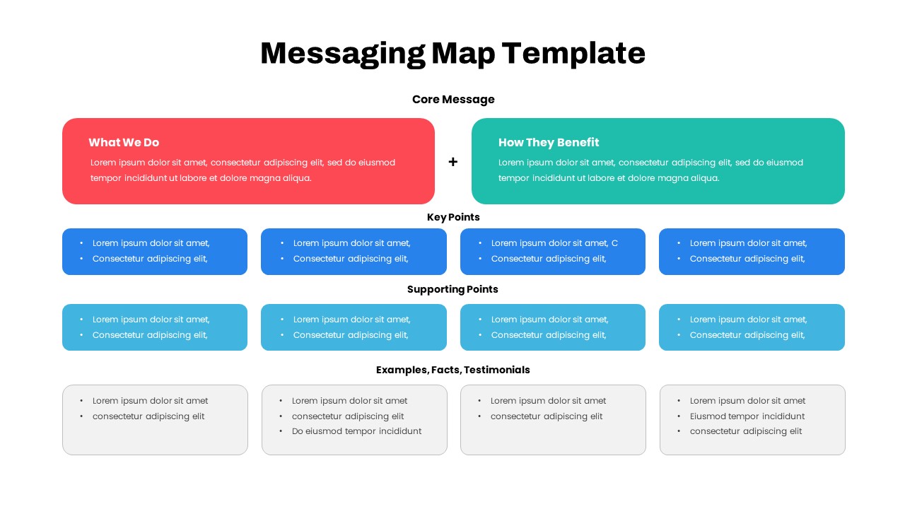
Comprehensive Messaging Map Framework Template for PowerPoint & Google Slides
Process
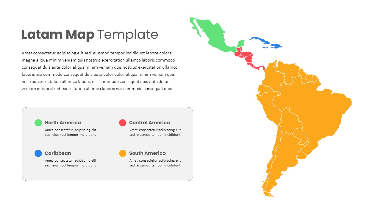
Latin America Regional Map Breakdown Template for PowerPoint & Google Slides
World Maps
Free Editable U.S. Map with Regional Metrics Template for PowerPoint & Google Slides
World Maps
Free
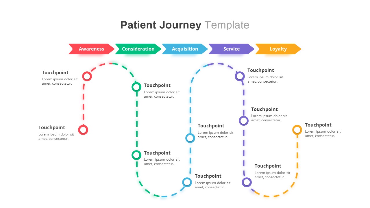
Healthcare Patient Journey Map Overview Template for PowerPoint & Google Slides
Health
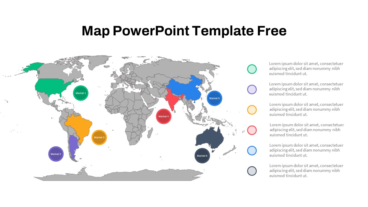
Free Global Market Distribution Map Template for PowerPoint & Google Slides
World Maps
Free
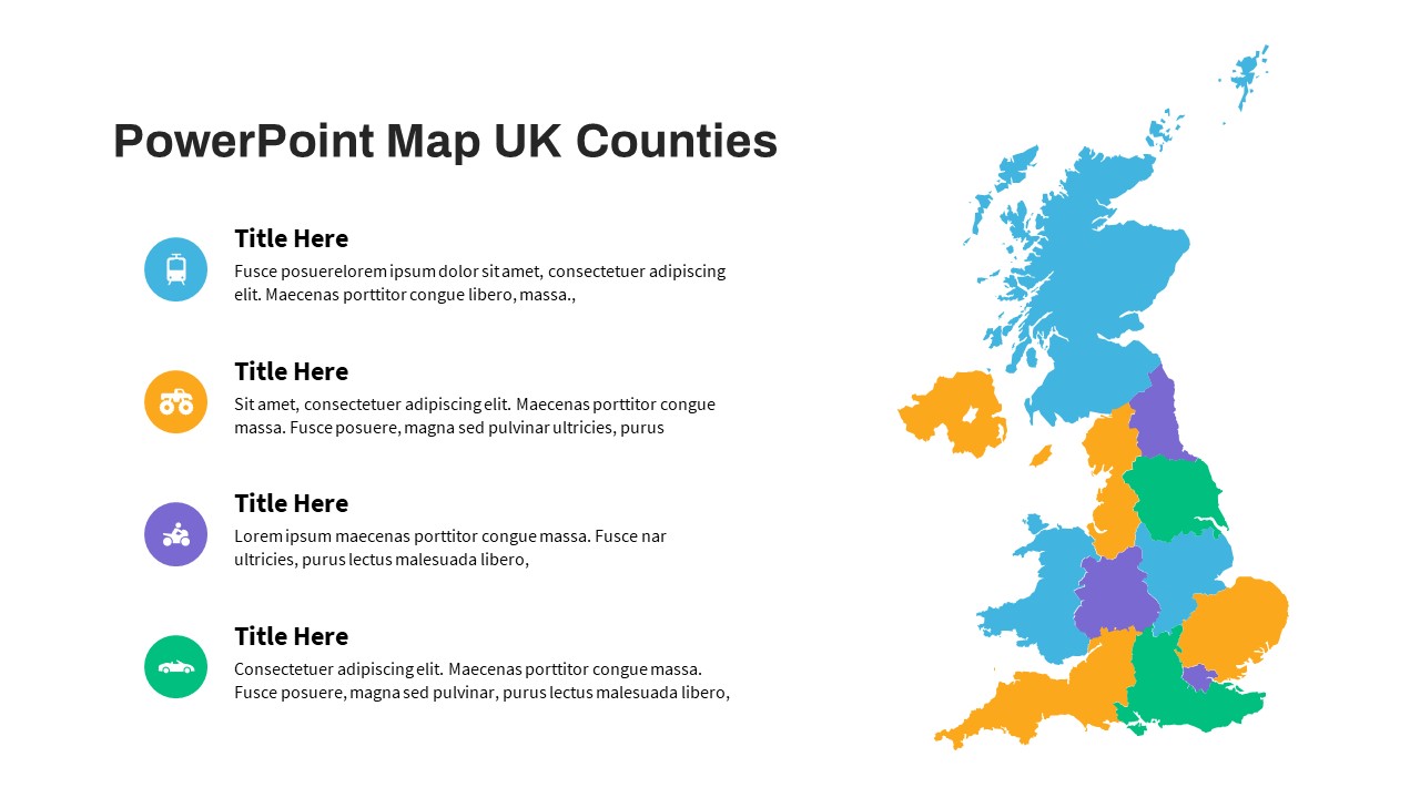
UK Counties Map Data Visualization Template for PowerPoint & Google Slides
World Maps
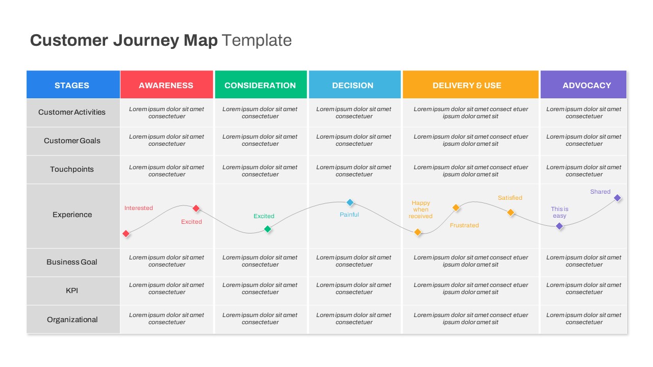
Comprehensive Customer Journey Map Template for PowerPoint & Google Slides
Customer Journey
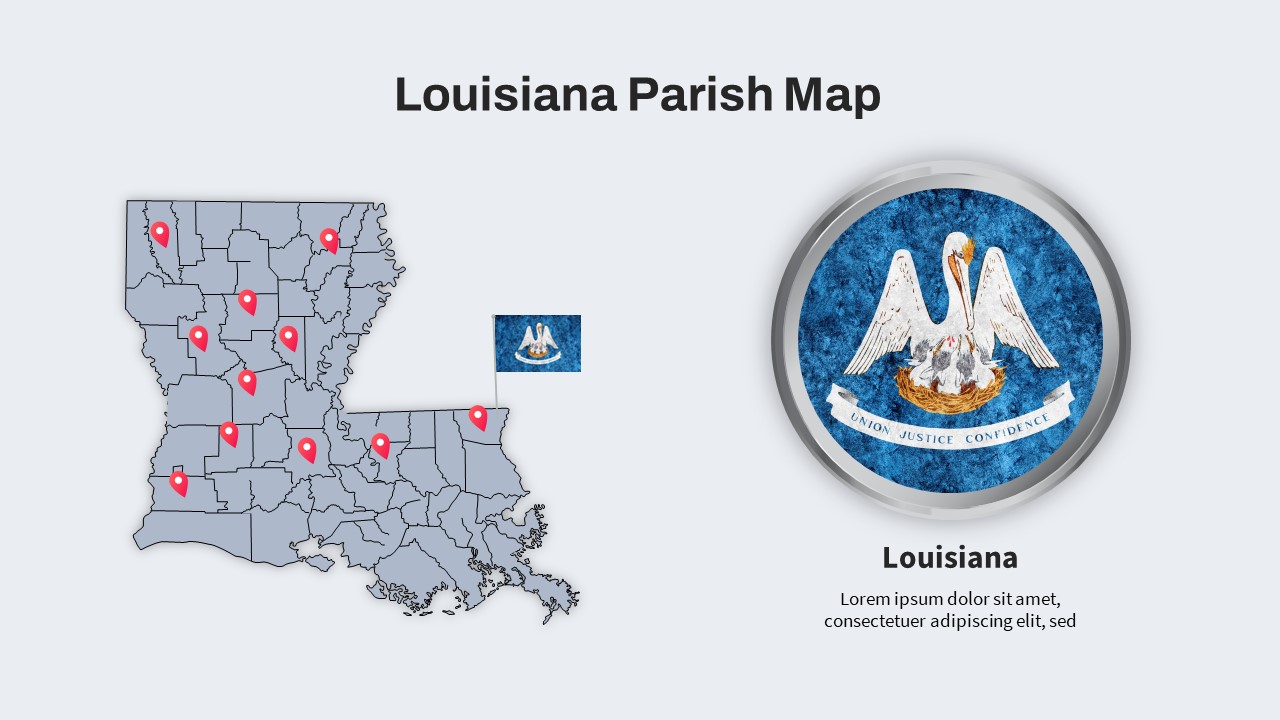
Louisiana Parish Map with Markers Template for PowerPoint & Google Slides
Maps
Colorful Multi-Branch Mind Map Slide Template for PowerPoint & Google Slides
Mind Maps
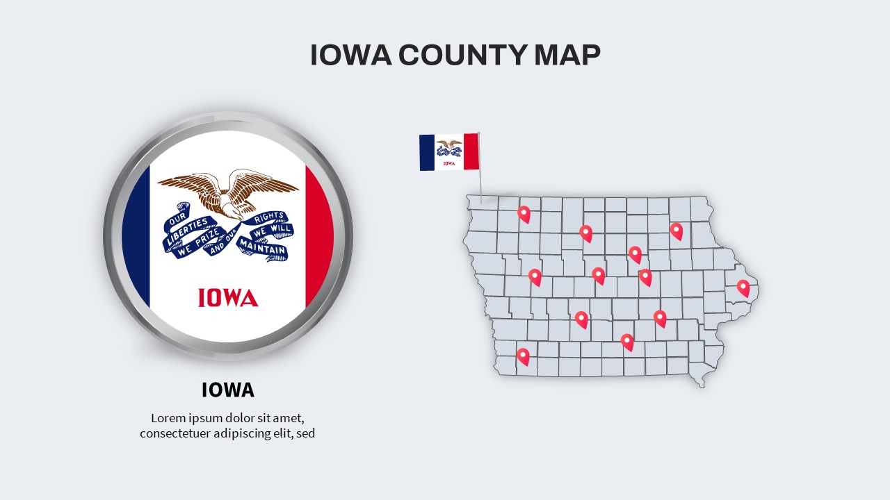
Iowa County Map with Location Markers Template for PowerPoint & Google Slides
World Maps
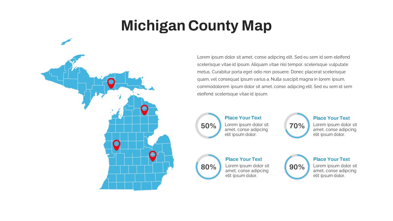
Michigan County Map with KPI Dashboard Template for PowerPoint & Google Slides
World Maps
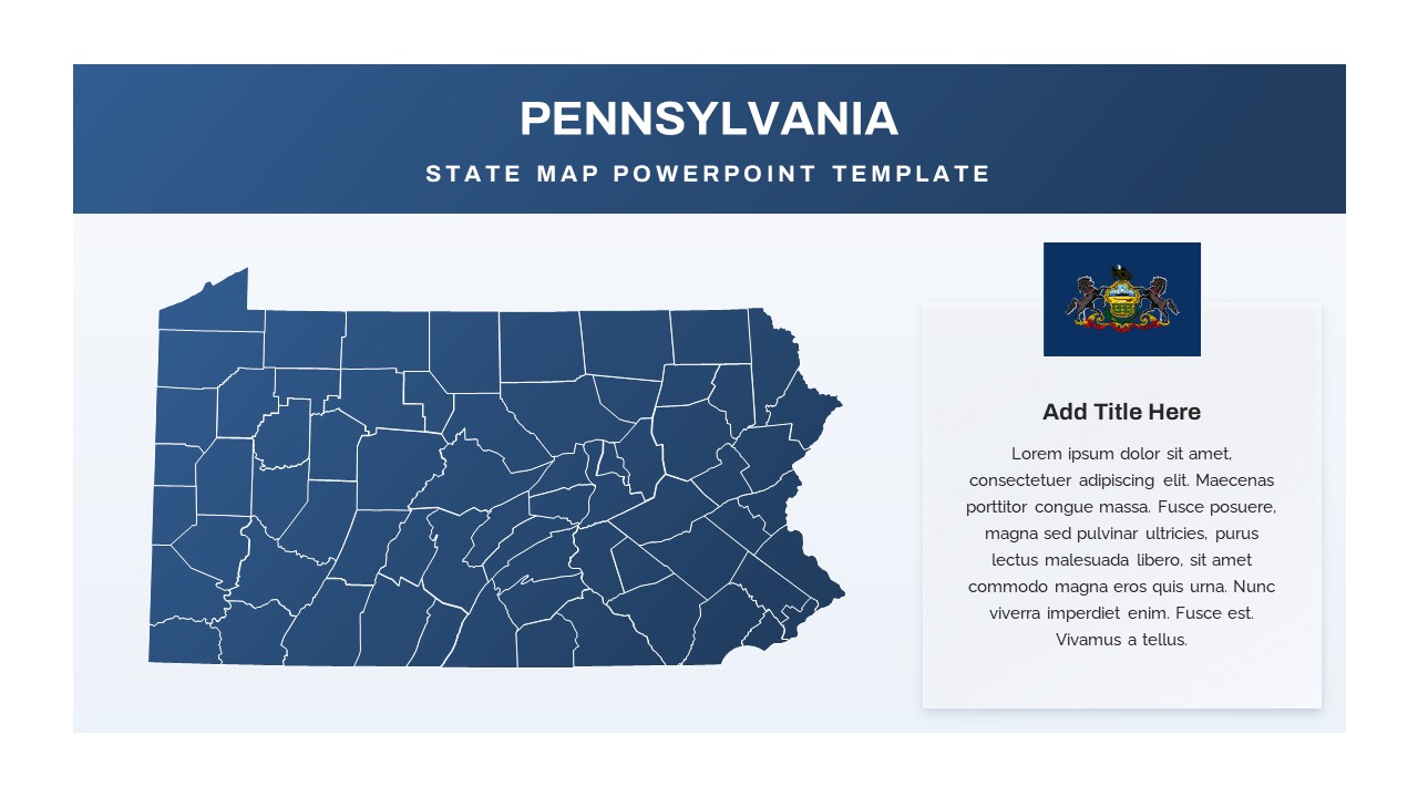
Pennsylvania State Map Diagram Template for PowerPoint & Google Slides
World Maps
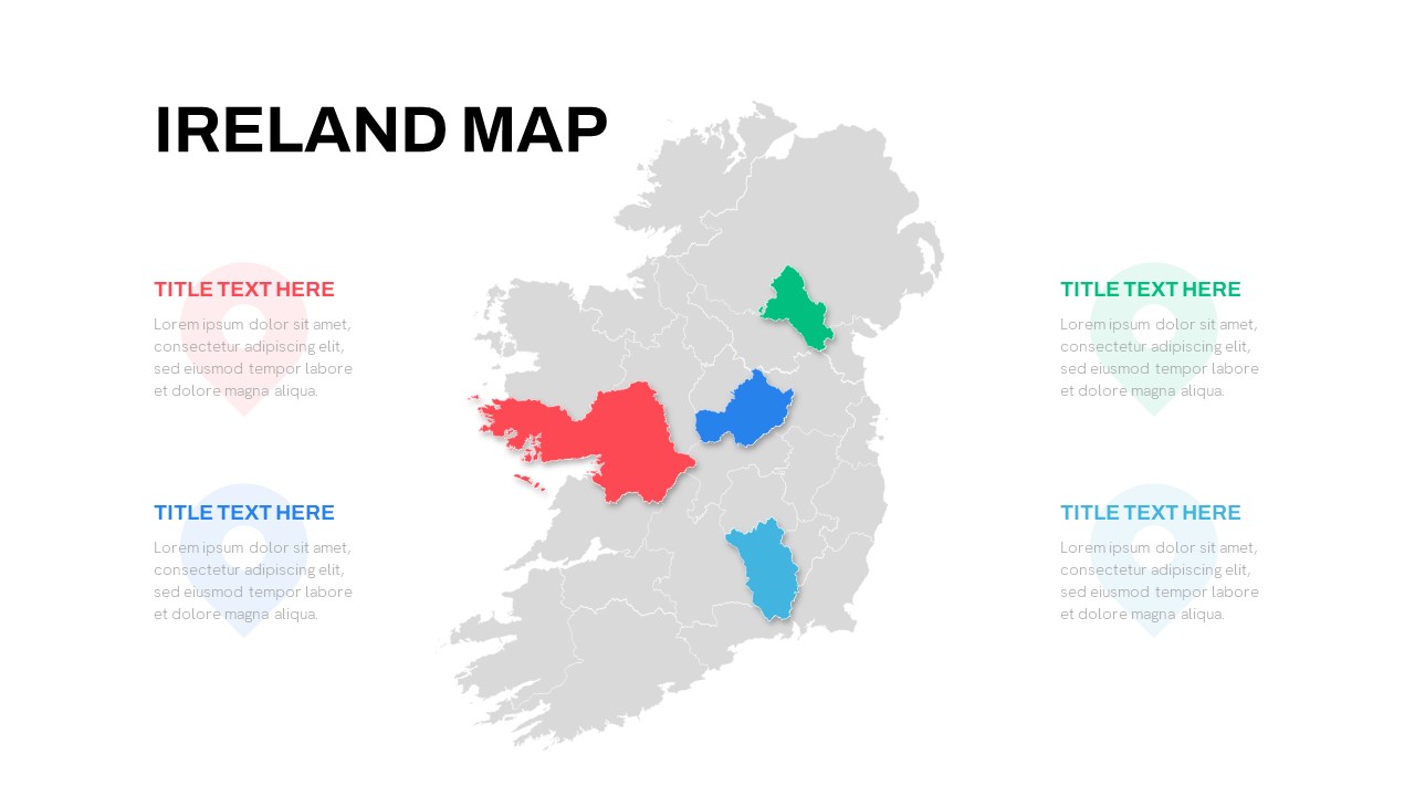
Editable Ireland Map Infographic Slide Template for PowerPoint & Google Slides
World Maps
Free
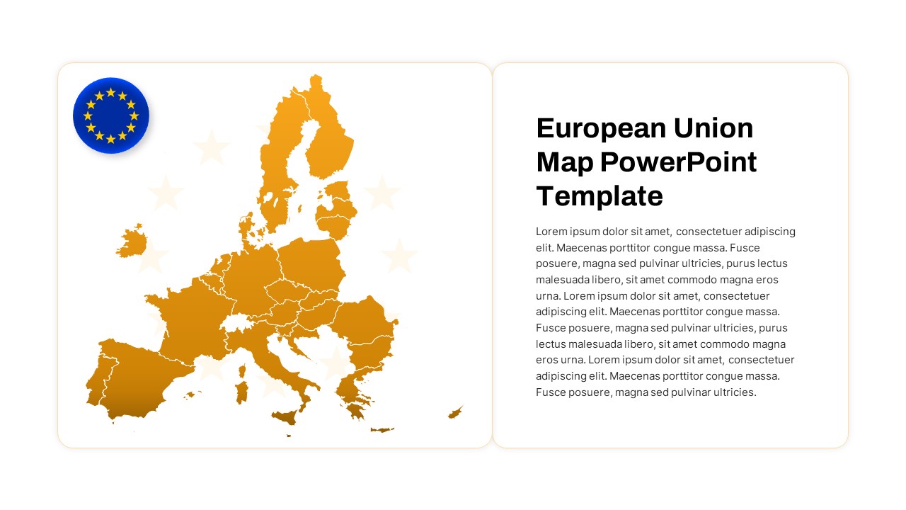
European Union Map Infographic Template for PowerPoint & Google Slides
World Maps
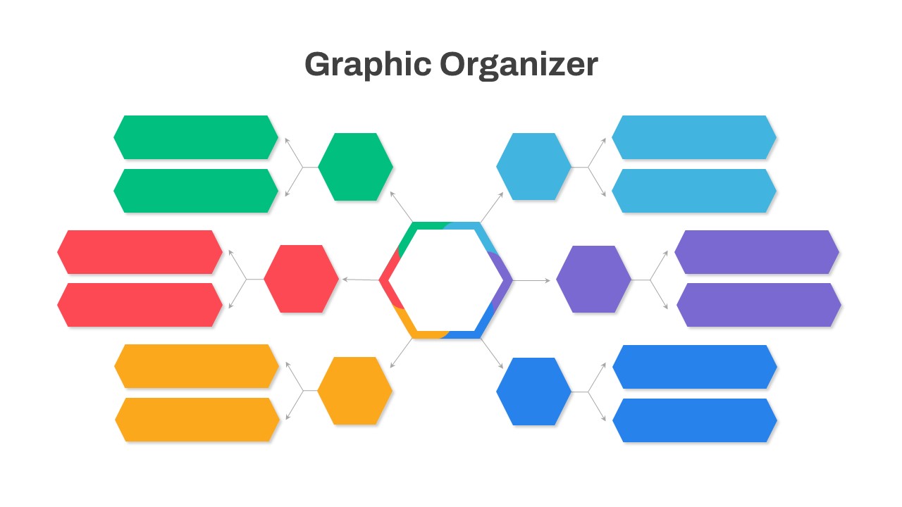
Graphic Organizer & Double Bubble Map Template for PowerPoint & Google Slides
Maps
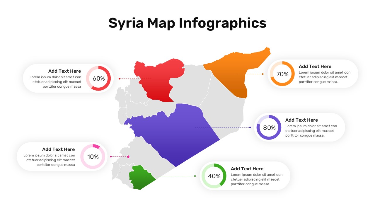
Syria Regional Data Map Infographic Template for PowerPoint & Google Slides
World Maps
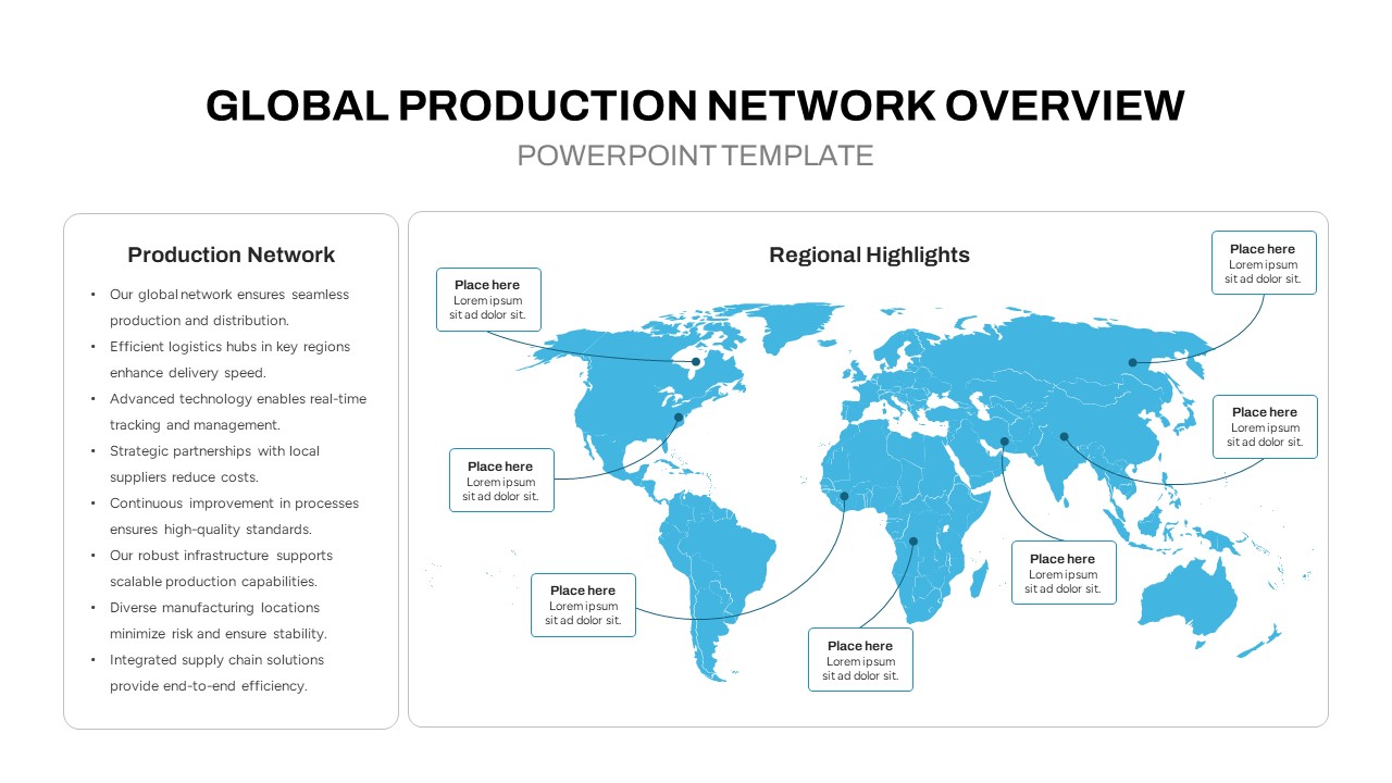
Global Production Network Overview Map Template for PowerPoint & Google Slides
World Maps
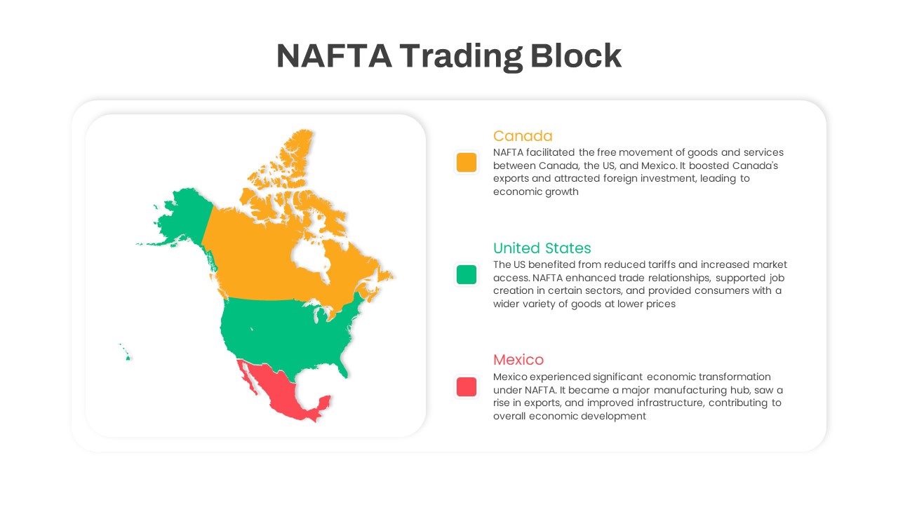
NAFTA Trading Block Map Infographic Template for PowerPoint & Google Slides
World Maps
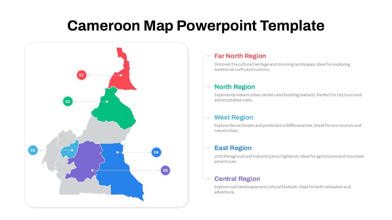
Numbered Cameroon Regional Map Slide Template for PowerPoint & Google Slides
World Maps
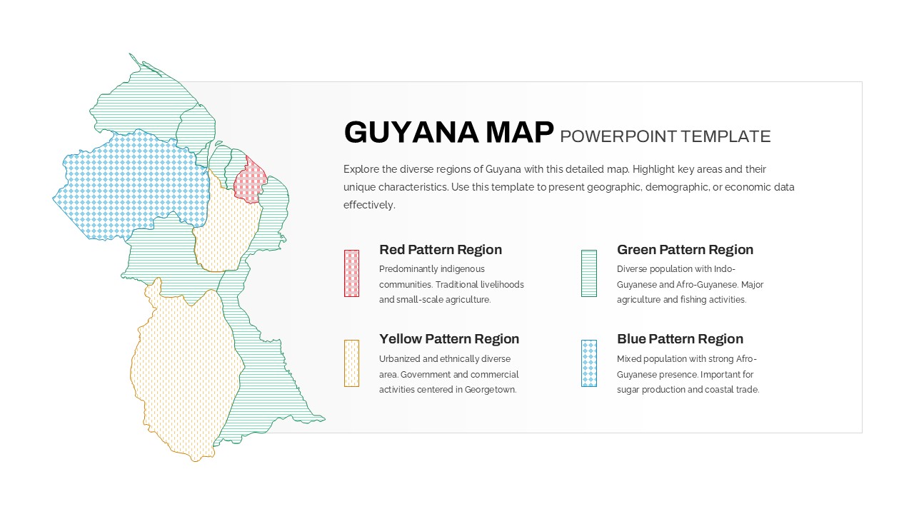
Patterned Guyana Regional Map Template for PowerPoint & Google Slides
World Maps
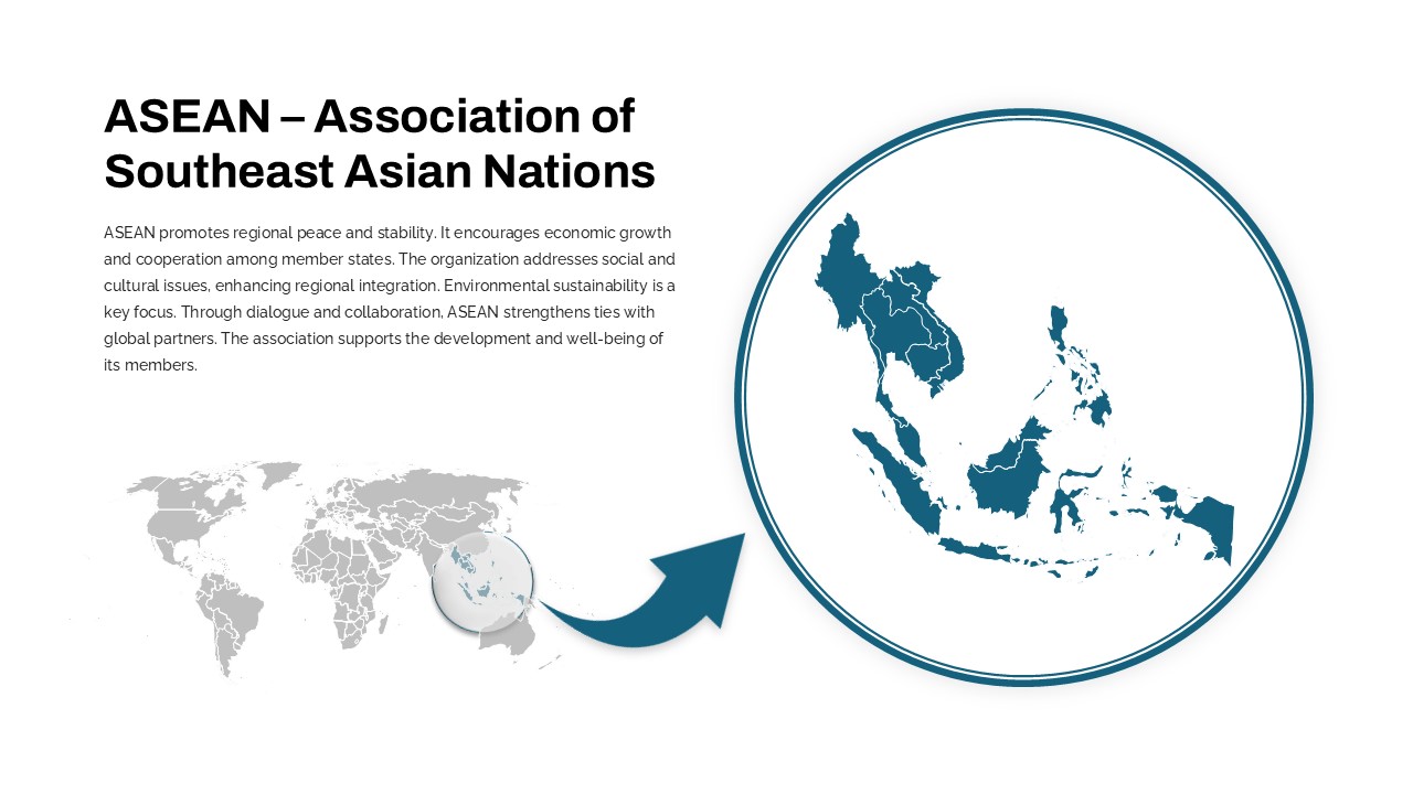
Professional ASEAN Region Zoom Map Slide Template for PowerPoint & Google Slides
World Maps
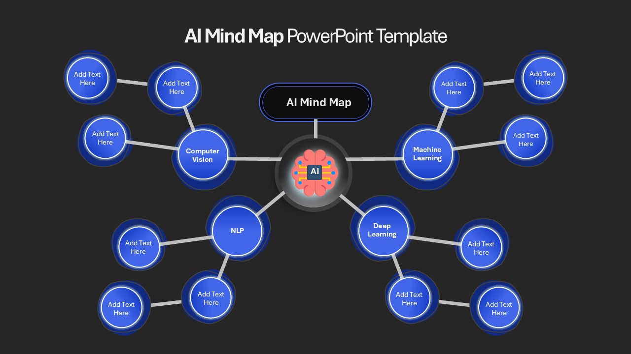
AI Mind Map & Hub-and-Spoke Diagram Template for PowerPoint & Google Slides
Mind Maps
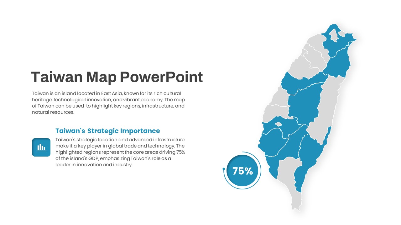
Interactive Taiwan Map Highlight Template for PowerPoint & Google Slides
World Maps
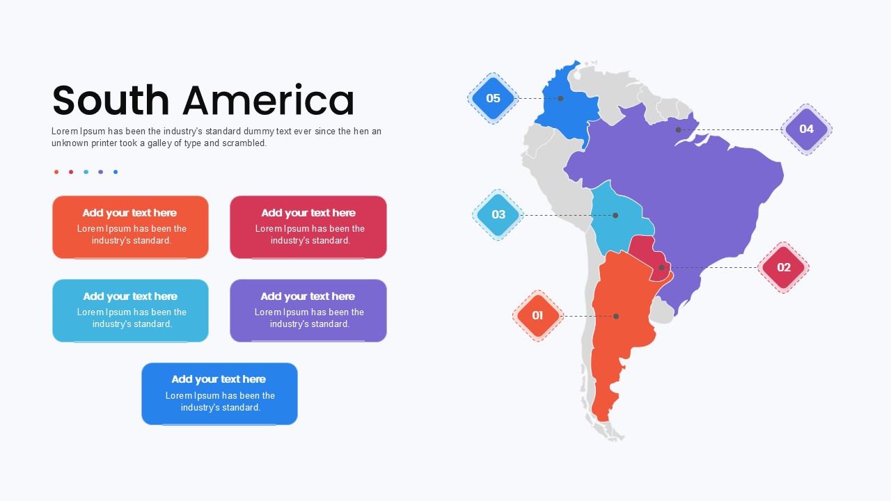
South America Map template for PowerPoint & Google Slides
Maps
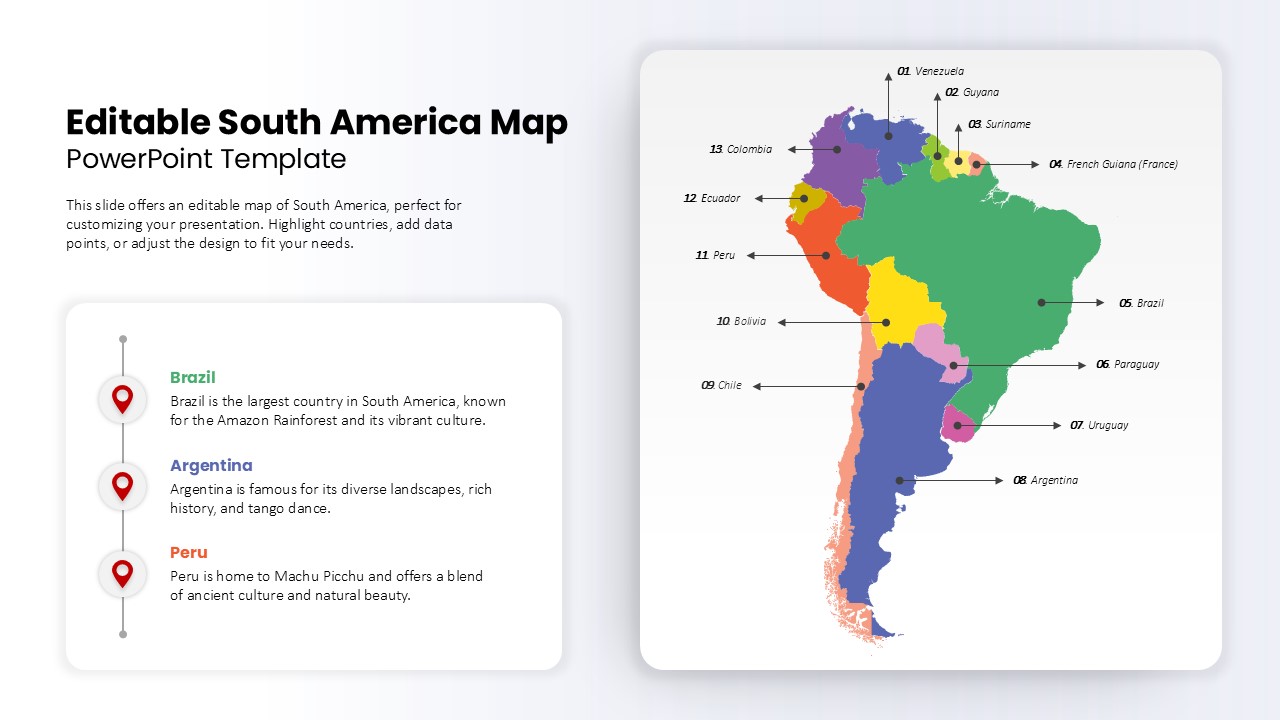
Editable South America Map Diagram Template for PowerPoint & Google Slides
Maps
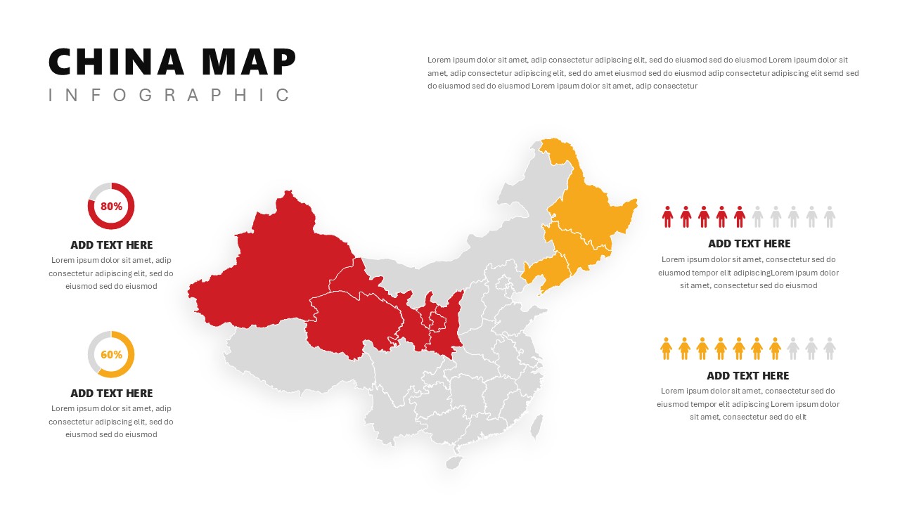
China Map Infographic Regional Stats Template for PowerPoint & Google Slides
World Maps
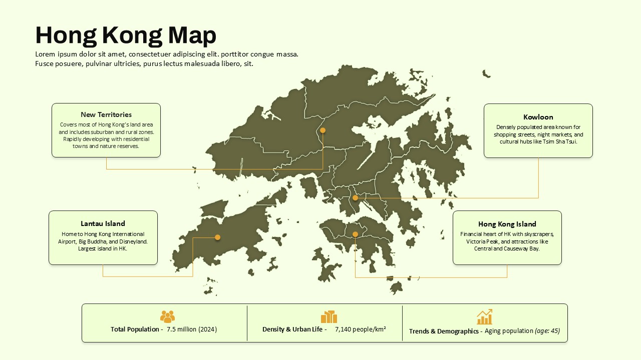
Hong Kong Geographic Map Infographic Template for PowerPoint & Google Slides
World Maps
Employee Journey Map with Stages template for PowerPoint & Google Slides
Recruitment
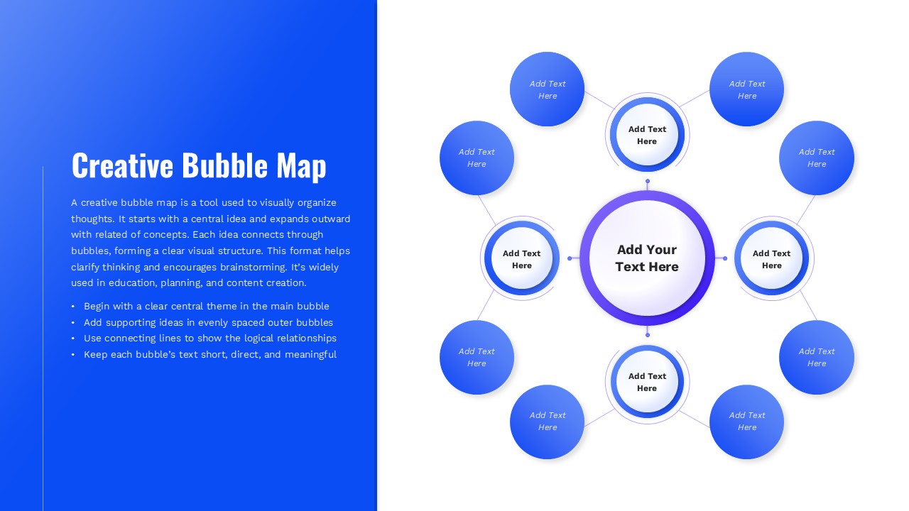
Creative Bubble Mind Map Template for PowerPoint & Google Slides
Mind Maps