





Continent and Ocean Map for PowerPoint Presentations
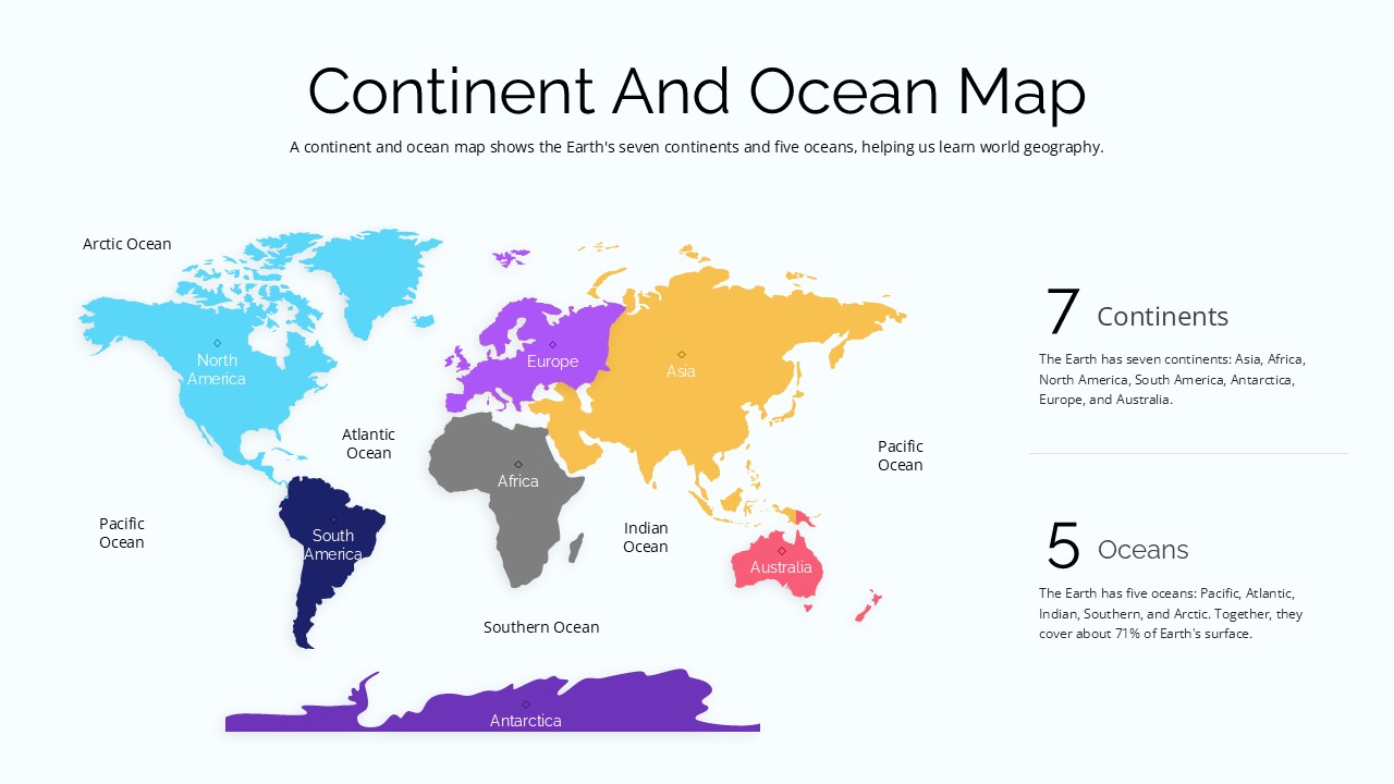
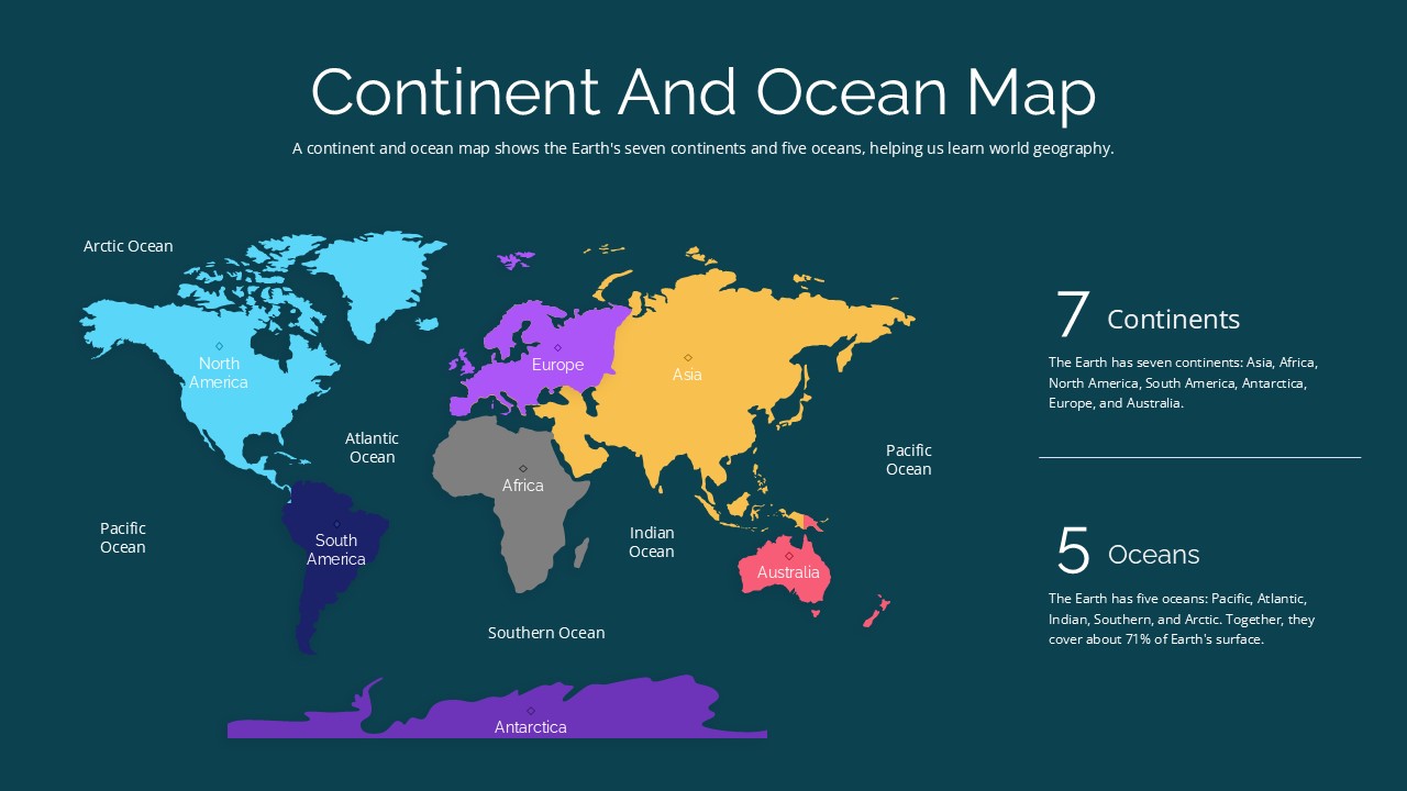
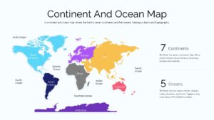
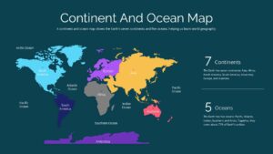
The Continent and Ocean Map PowerPoint Template features a colorful world map layout designed to illustrate the Earth’s seven continents and five oceans. The slides use distinct colors to differentiate geographical regions, with labels identifying continents such as North America, South America, Europe, Asia, Africa, Australia, and Antarctica. Ocean names, including the Pacific, Atlantic, Indian, Arctic, and Southern Oceans, are positioned around the map for easy identification. The design also incorporates numerical highlights for the seven continents and five oceans, accompanied by brief explanatory text. These visual elements make the template suitable for geography lessons, educational presentations, and introductory world geography discussions.
The Continent and Ocean Map PPT Slide Template presents a world map with a structured layout that combines geographical illustrations and concise informational sections. The dark and light background variations provide flexibility for different presentation styles, while the color-coded map helps distinguish landmasses from surrounding oceans. Presenters can use this PowerPoint map to introduce continents, explain ocean distribution, and support classroom activities about global geography. The template is also useful for school assignments, geography projects, and educational seminars that require a clear visual reference to the world’s major land and water regions.
Frequently Asked Questions
What is a Continent and Ocean Map Template?
Does this template include both light and dark theme versions?
Login to download this file

Item ID
SB06203Designed By
Niranjana


Related Templates

Blue Ocean Strategy PowerPoint Template
Marketing
Blue Ocean Strategy PowerPoint Template
Business Strategy
North America Map for PowerPoint Presentations
World Maps
Heat Map Template for Presentations
Comparison Chart
Metaphor Globe Shapes Template for PowerPoint Presentations Slide
Opportunities Challenges
Value Innovation Model PowerPoint & Google Slides Template for Presentations
Business Proposal
Rules of Goal Setting Template for PowerPoint and Google slide Presentations
Business
Blake and Mouton Leadership Grid for PowerPoint Presentations
Comparison Chart
Free
Hub and Spoke Infographic for PowerPoint Presentations
Circular
About Us Slide for PowerPoint Presentations
Marketing

Free Company Profile PowerPoint Template for Business Presentations
Company Profile
Free
VTDF Business Model PowerPoint Template: A Professional PPT for Business Growth Presentations
Business Models
2 Boxes PowerPoint Template for Presentations
Comparison
Horizontal List Template for PowerPoint Presentations
Process
Sales Funnel Diagram Template for PowerPoint Presentations
Funnel
Key Findings Template for PowerPoint Presentations
Business Report
Embedded Finance Template for Presentations (PowerPoint/Google Slides)
Finance
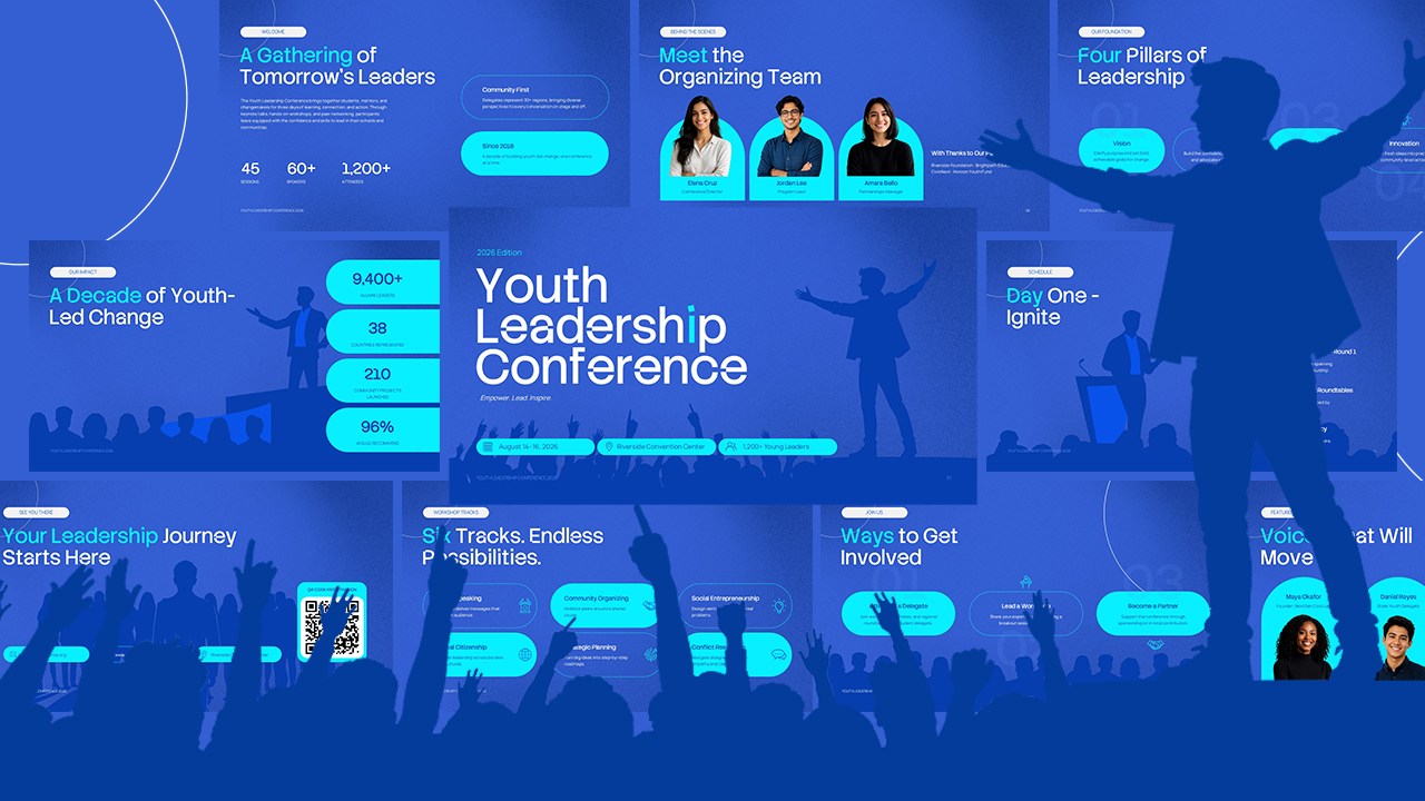
Youth Leadership Conference PowerPoint Template for Event Presentations
Company Profile
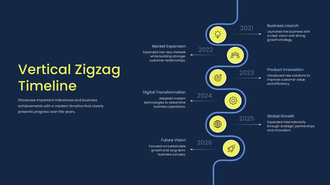
Vertical Zigzag Timeline Template for PowerPoint Presentations
Timeline
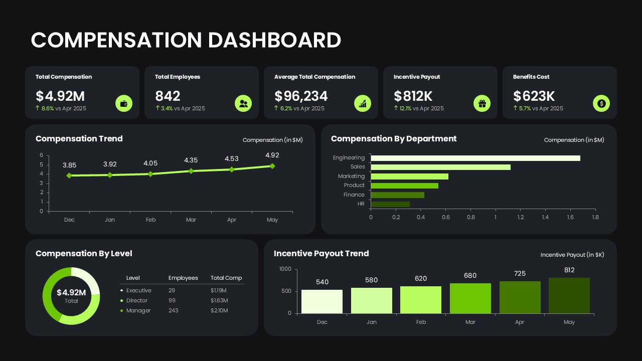
Compensation Dashboard For PowerPoint Presentations
Finance