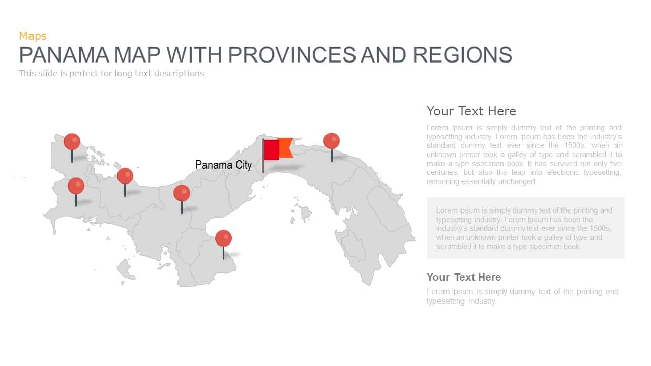
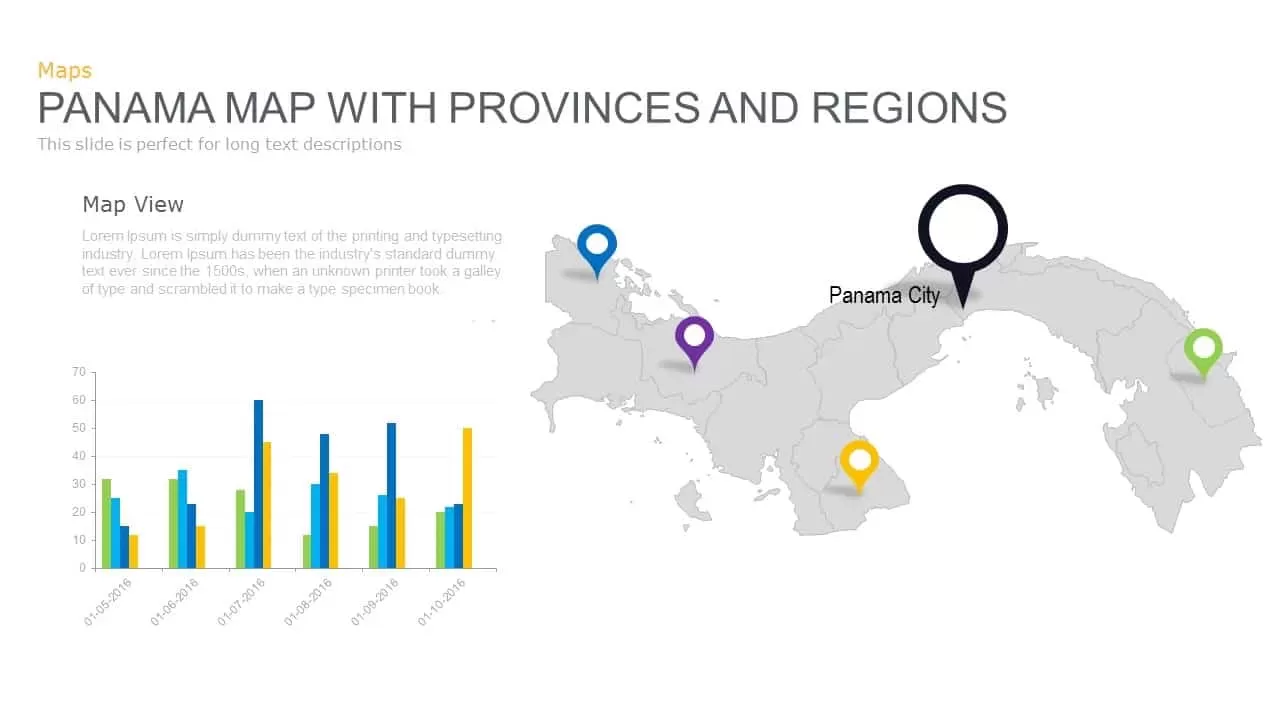
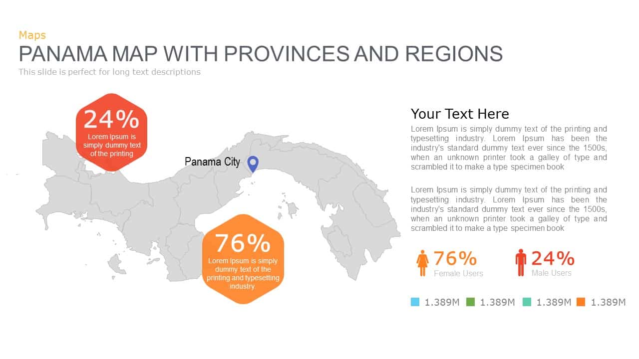
Panama Map with Region Markers Template for PowerPoint & Google Slides

Description
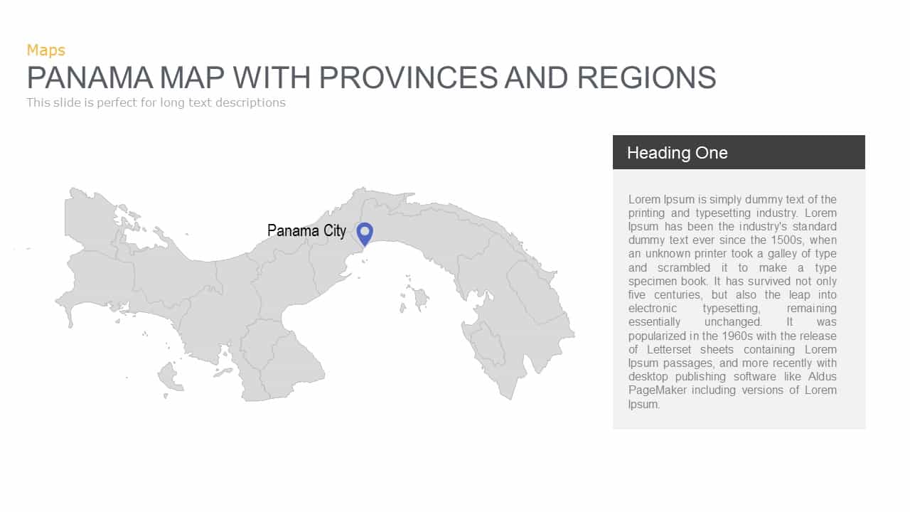
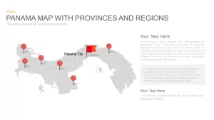
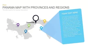
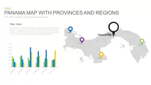
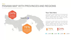
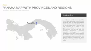
Leverage this versatile Panama map slide to pinpoint strategic locations and drive geographic storytelling with precision and clarity. A detailed grayscale vector map of Panama fills the left side, displaying provincial boundaries and island regions, while bold red location pins mark key points of interest. A distinctive flag icon and label highlight Panama City, instantly drawing the audience’s attention to the capital. Each pin connects via a thin callout line to map coordinates, guiding viewers’ eyes without cluttering the visual.
On the right, two expansive text placeholders accommodate in-depth narratives, statistical summaries, or long-form analyses. Below them, two numbered text blocks (“01” and “02”) provide structured space for secondary insights, bullet lists, or timeline annotations. Subtle gridlines and minimalist typography ensure optimal readability, while semi-transparent gradient arrows flank the slide margins, hinting at carousel-style navigation or a step-by-step presentation flow.
Fully built on master slides and composed of scalable vector shapes, this template empowers rapid customization: recolor pins to align with your brand palette, reposition callouts to emphasize additional provinces, or refine map granularity to focus on specific regions. The vector-based assets guarantee pixel-perfect fidelity across PowerPoint and Google Slides, eliminating formatting errors and version-control headaches. Ample white space and consistent alignment deliver a clean, professional aesthetic suitable for any corporate, academic, or government context.
Ideal for market-entry strategies, sales territory analyses, demographic studies, infrastructure planning, or logistical overviews, this Panama map template streamlines complex regional data into a single, polished asset. Duplicate pins to represent distribution centers, project sites, or customer clusters; update text areas with KPI dashboards or budget breakdowns; or integrate additional icons to denote industry sectors. With this slide in your toolkit, you can present geographic insights with accuracy, professionalism, and maximum visual impact.
Who is it for
Market researchers, sales managers, regional planners, and consultants will leverage this Panama map slide to showcase territory performance, customer distribution, project sites, or expansion plans in stakeholder meetings, board presentations, or client pitches.
Other Uses
Repurpose this template for travel itineraries, demographic reports, supply-chain visualizations, or educational lectures. Swap pin icons to denote warehouses, branches, or service centers, and customize callouts to display timelines, risk assessments, or milestone trackers.
Login to download this file

Item ID
SB00485
Related Templates

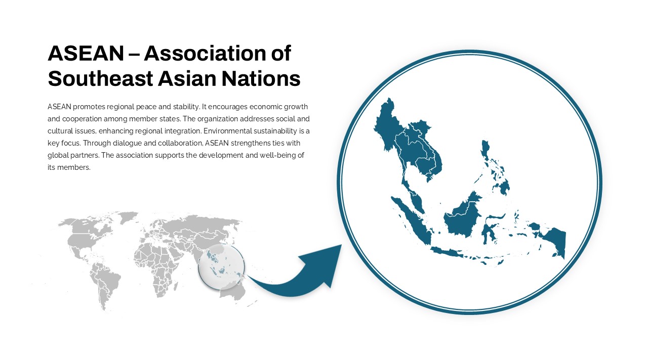
Professional ASEAN Region Zoom Map Slide Template for PowerPoint & Google Slides
World Maps
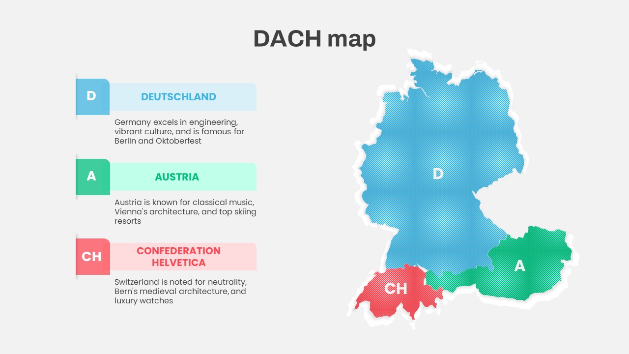
DACH Region Map with Country Highlights Template for PowerPoint & Google Slides
Maps
Customizable USA Map With State Markers Template for PowerPoint & Google Slides
World Maps
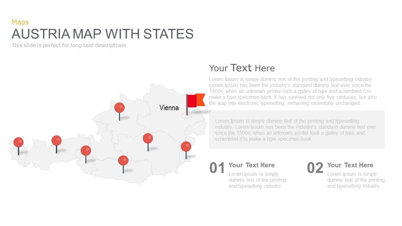
Austria Map With State Markers Template for PowerPoint & Google Slides
World Maps
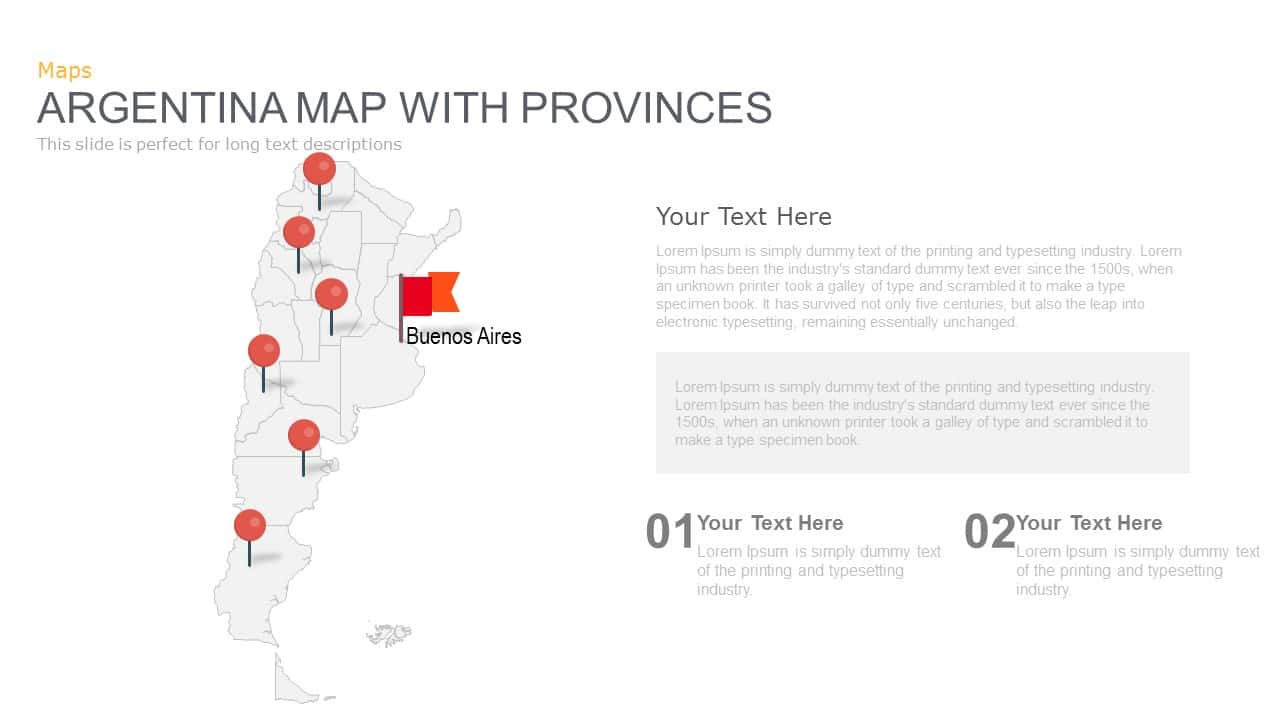
Argentina Province Map Markers Template for PowerPoint & Google Slides
World Maps

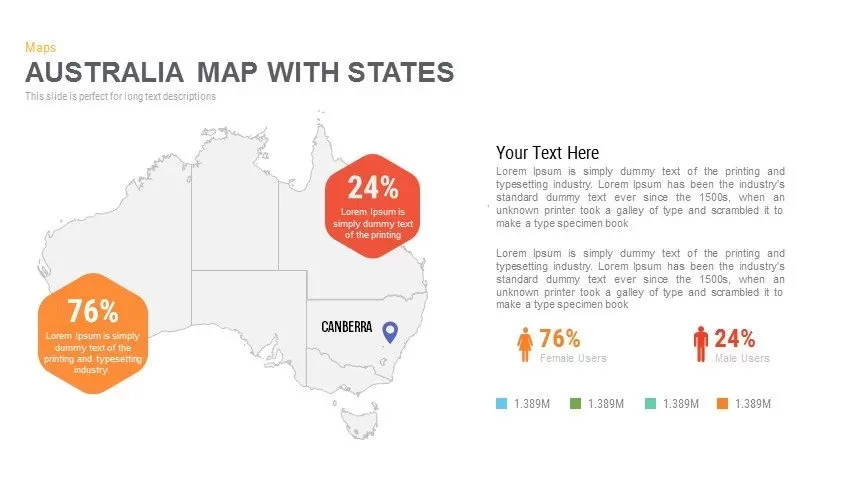
Australia Map with State Markers Template for PowerPoint & Google Slides
Maps

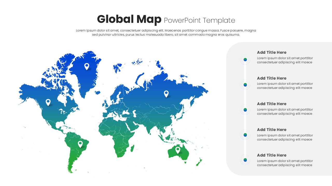
Global Map with Location Markers Template for PowerPoint & Google Slides
World Maps
Louisiana Parish Map with Markers Template for PowerPoint & Google Slides
Maps
Iowa County Map with Location Markers Template for PowerPoint & Google Slides
World Maps
Global Map with Pinpoint Markers template for PowerPoint & Google Slides
Business
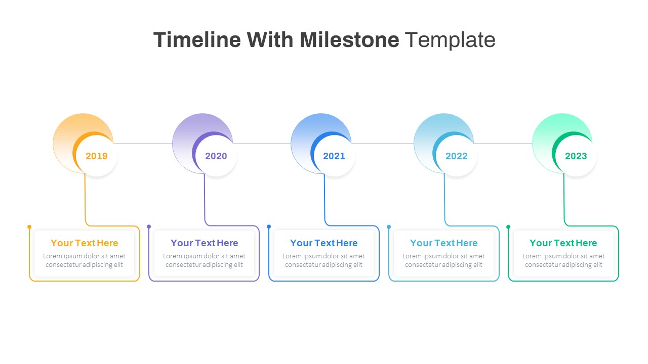
Milestone Timeline with Year Markers Template for PowerPoint & Google Slides
Timeline
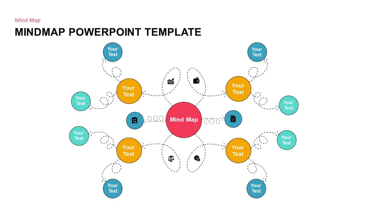
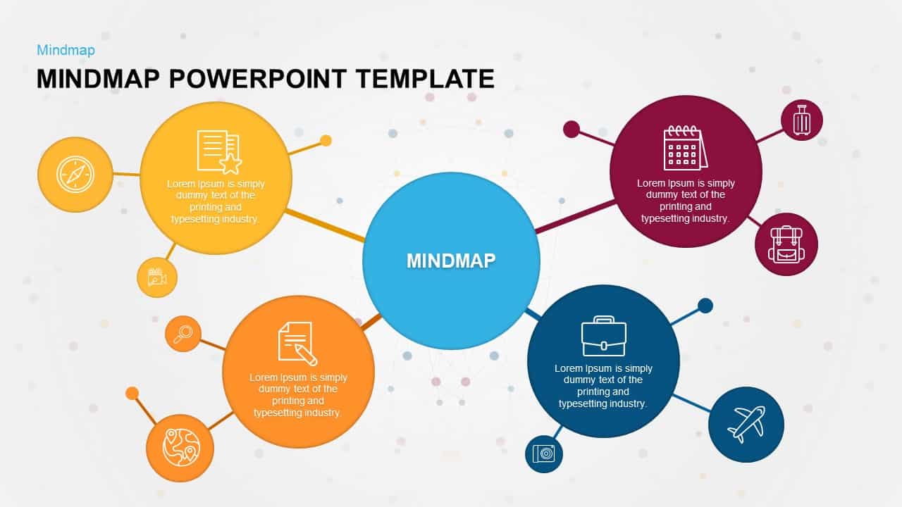
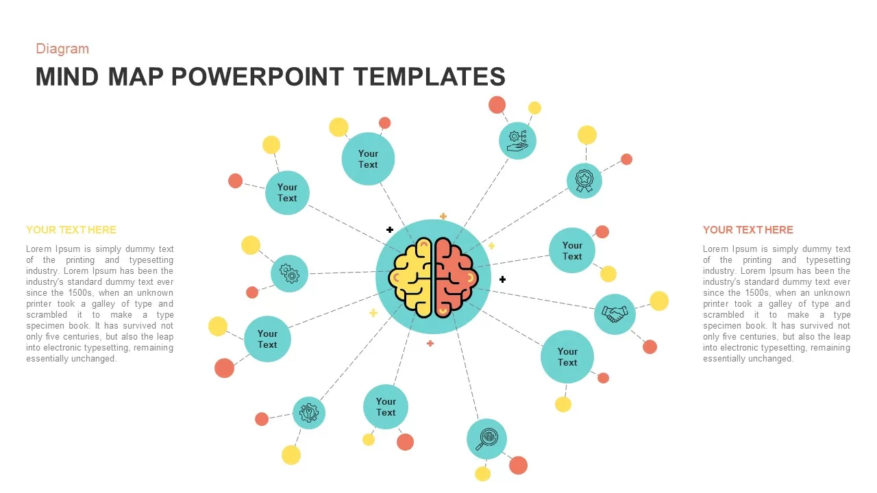
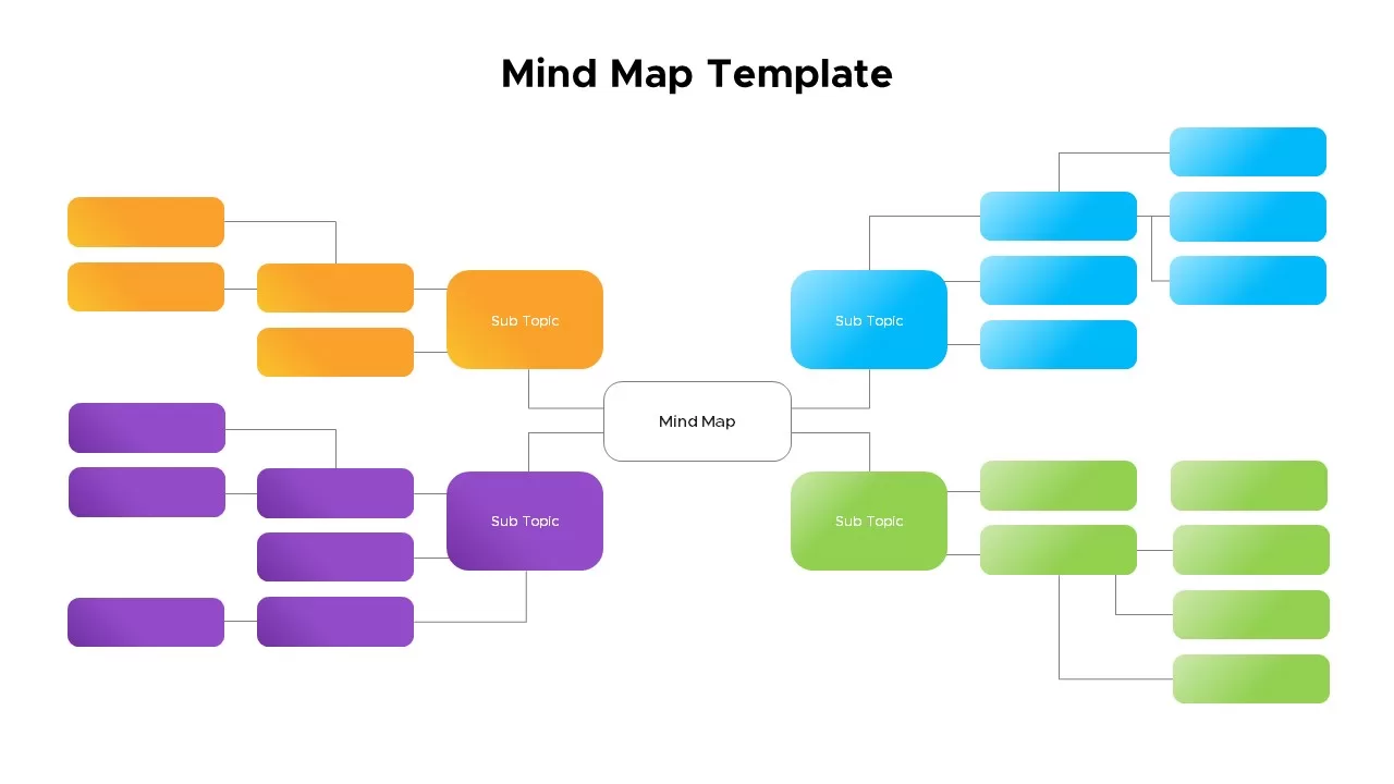
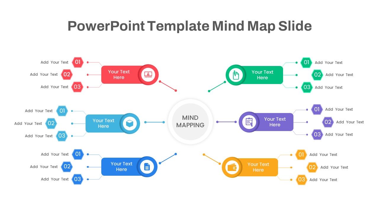
Mind Map PowerPoint template for PowerPoint & Google Slides
Mind Maps
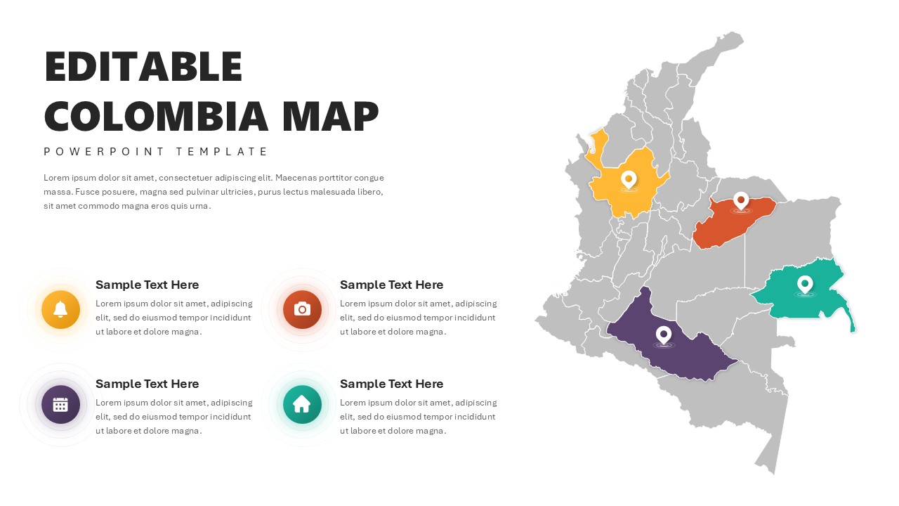
Editable Colombia Map PowerPoint Template for PowerPoint & Google Slides
Business Models
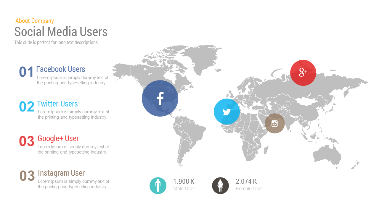
Free Editable Social Media Users Map Template for PowerPoint & Google Slides
World Maps
Free
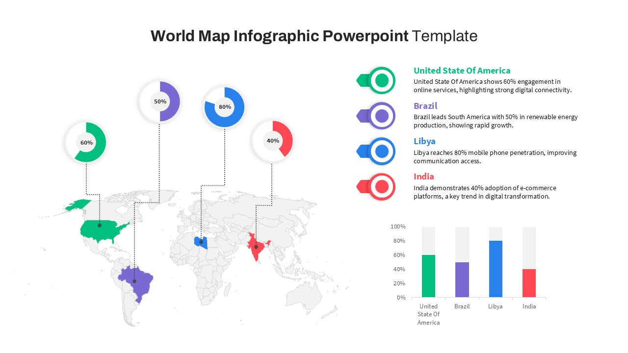
World Map Data template for PowerPoint & Google Slides
World Maps
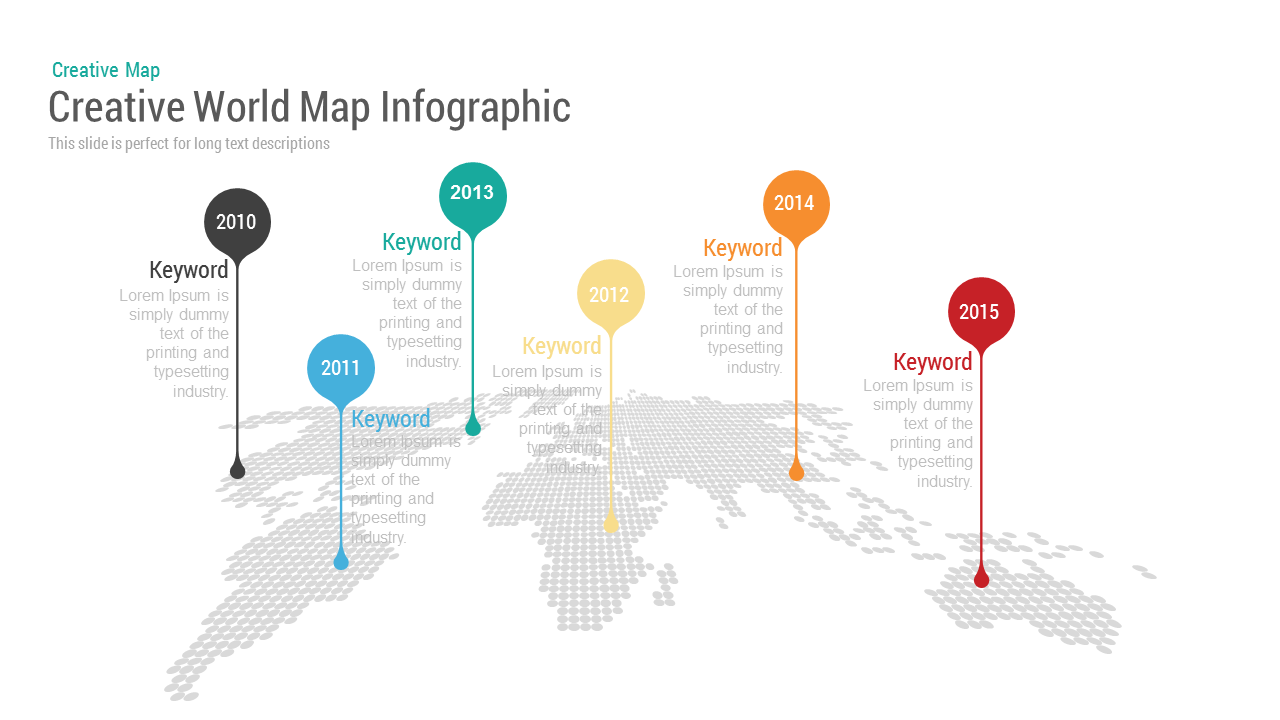
Creative World Map template for PowerPoint & Google Slides
World Maps
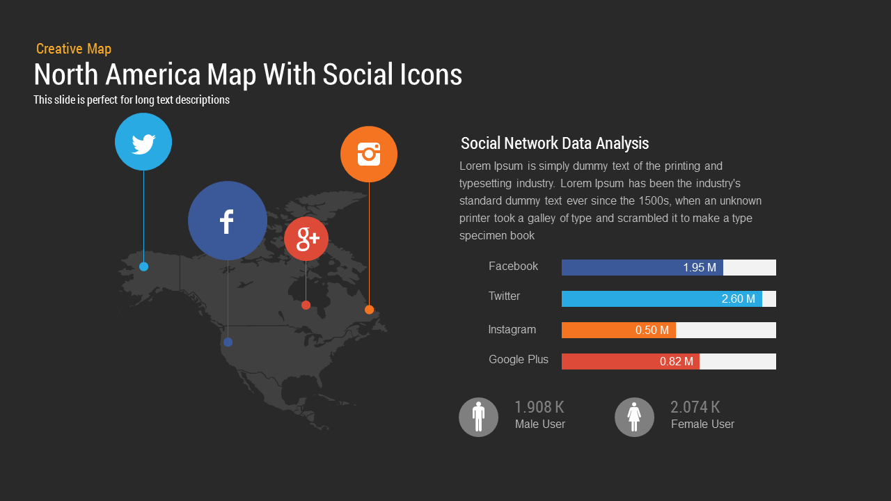
North America Map template for PowerPoint & Google Slides
World Maps
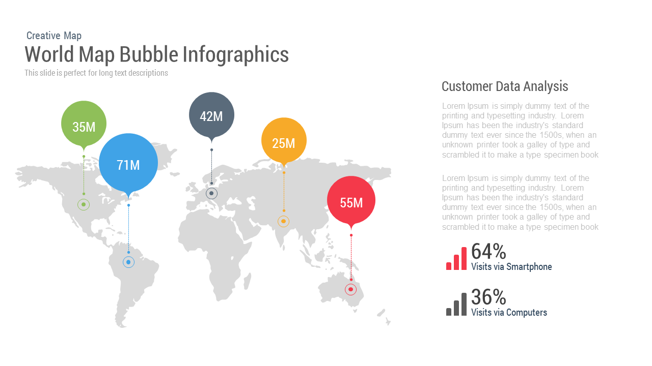
World Map Bubble template for PowerPoint & Google Slides
World Maps

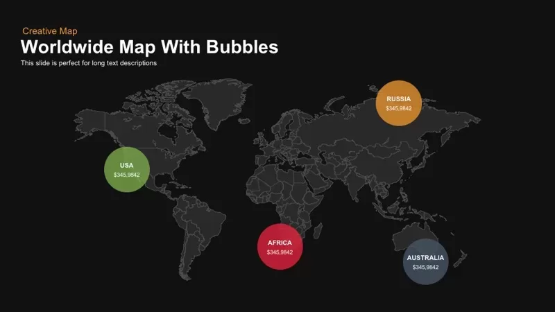
Worldwide Map with Bubbles template for PowerPoint & Google Slides
World Maps
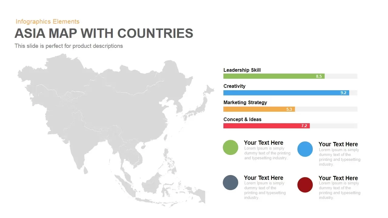
Asia Map with KPI Metrics and Legend Template for PowerPoint & Google Slides
World Maps
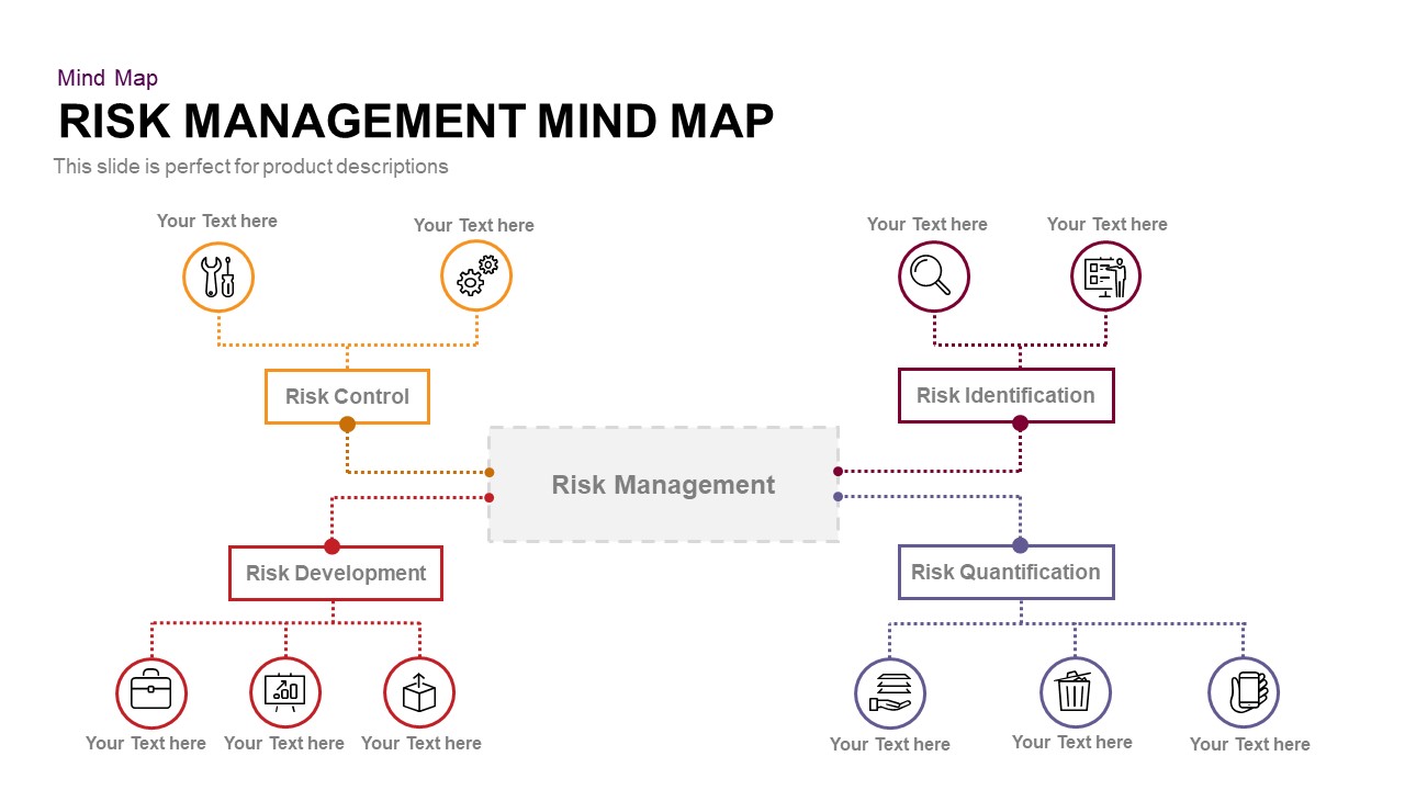
Risk Management Mind Map Radial Diagram template for PowerPoint & Google Slides
Mind Maps
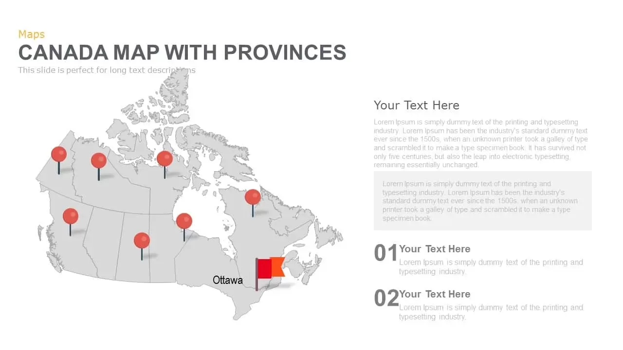
Canada Provinces Map Multi-Layout Template for PowerPoint & Google Slides
World Maps
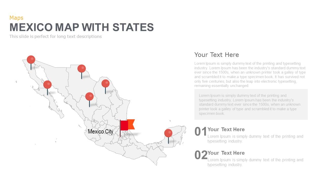
Mexico Map With States Template for PowerPoint & Google Slides
World Maps
Venezuela Map with States and Regions Template for PowerPoint & Google Slides
World Maps
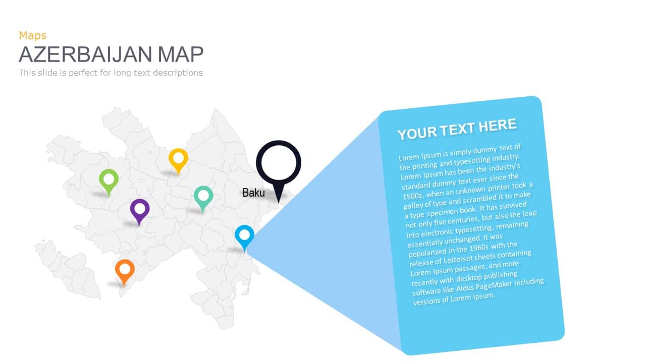
Azerbaijan Map with Provinces & Callouts Template for PowerPoint & Google Slides
World Maps
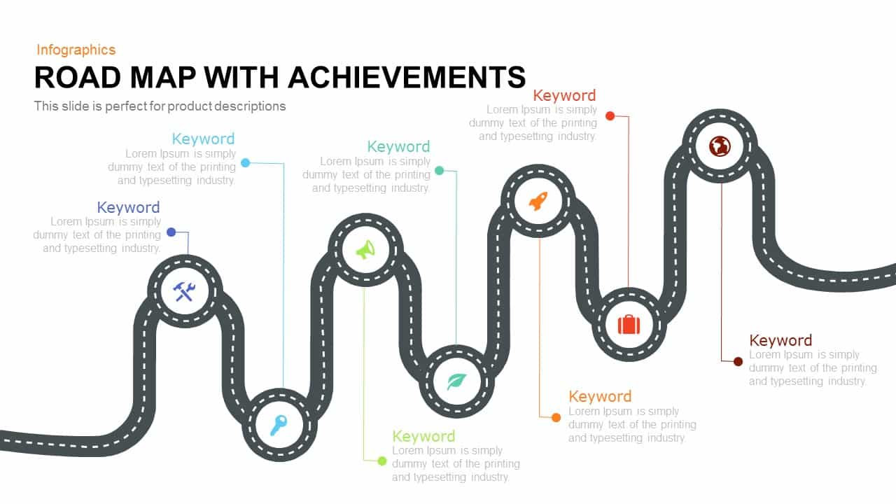
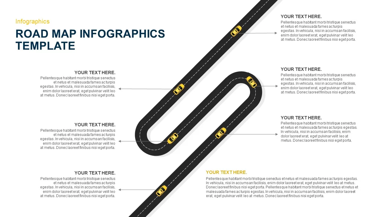
Road Map with Achievements Milestones Template for PowerPoint & Google Slides
Roadmap
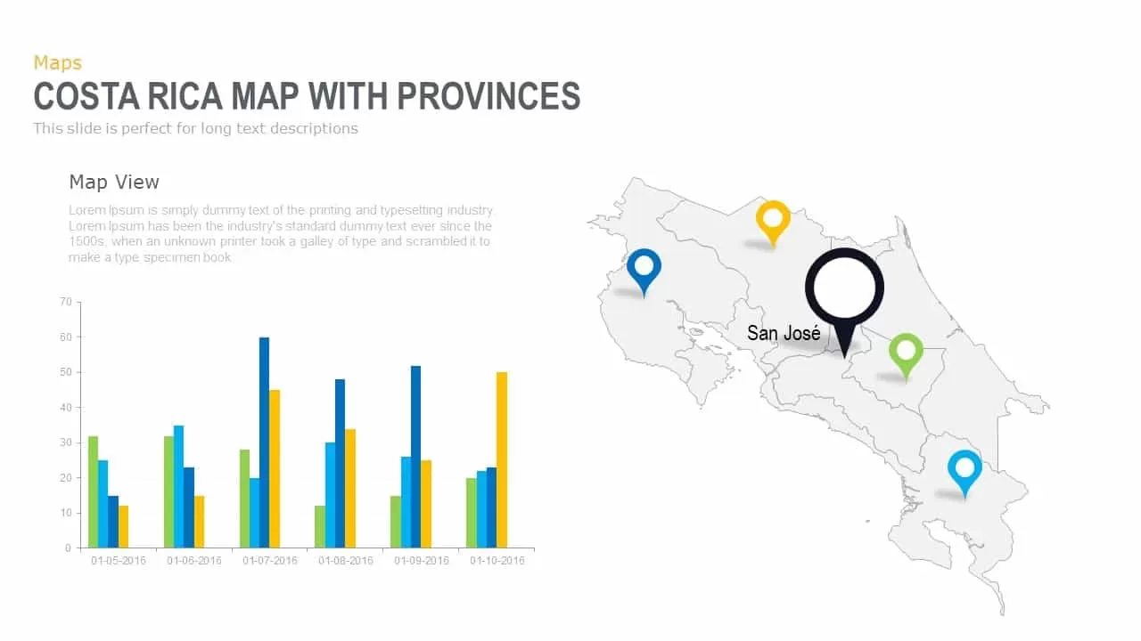
Interactive Costa Rica Province Map Template for PowerPoint & Google Slides
World Maps
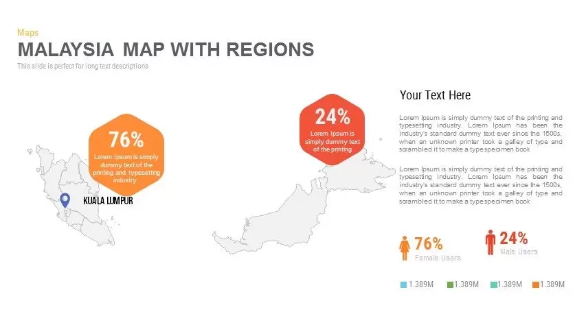
Malaysia Regional Map Infographic Template for PowerPoint & Google Slides
Maps
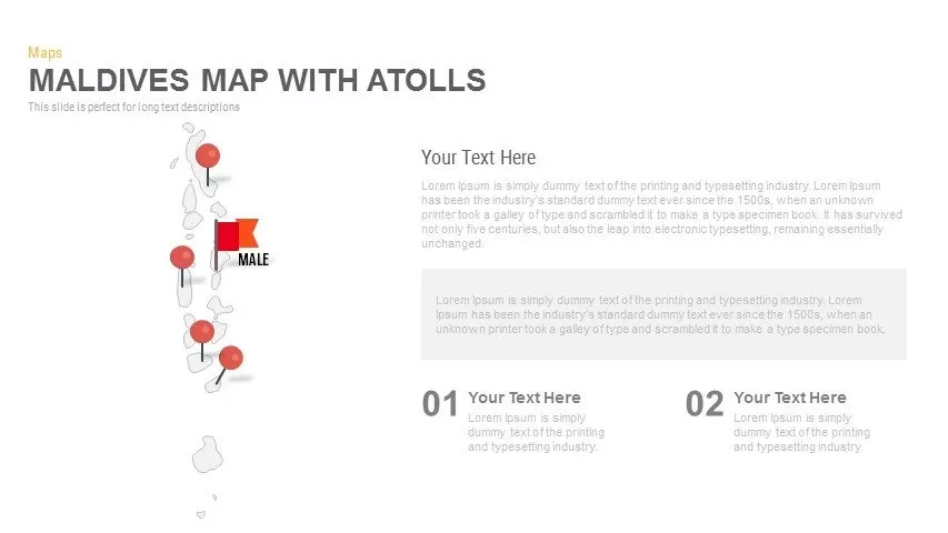
Maldives Map Infographic Template for PowerPoint & Google Slides
Maps
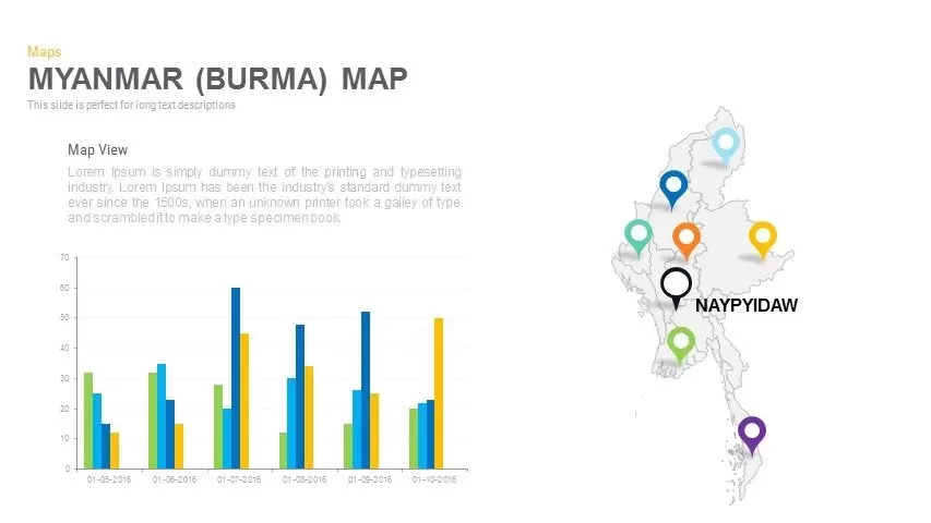
Myanmar (Burma) Provincial Map Infographic Template for PowerPoint & Google Slides
Maps
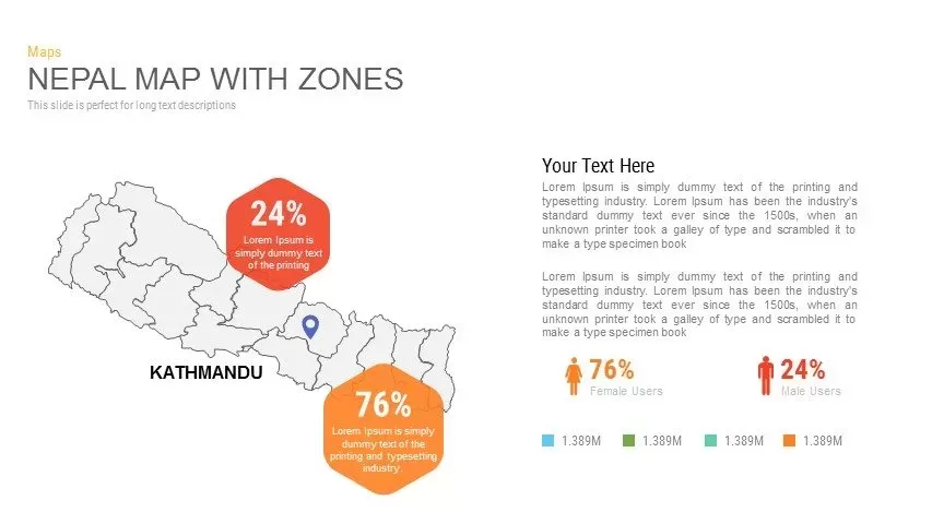
Nepal Map with Zones Infographic Template for PowerPoint & Google Slides
Maps
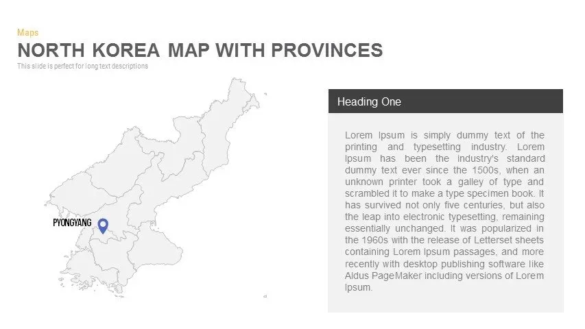
North Korea Map with Provinces Infographic Pack Template for PowerPoint & Google Slides
Maps
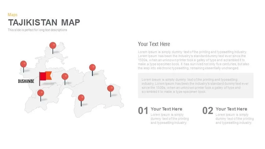
Editable Tajikistan Provinces Map Pack Template for PowerPoint & Google Slides
Maps
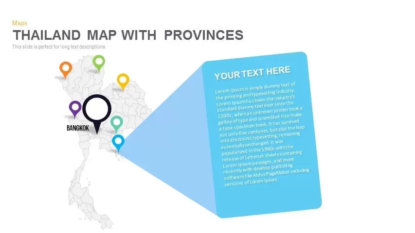
Thailand Provinces Map Infographic Pack Template for PowerPoint & Google Slides
Maps
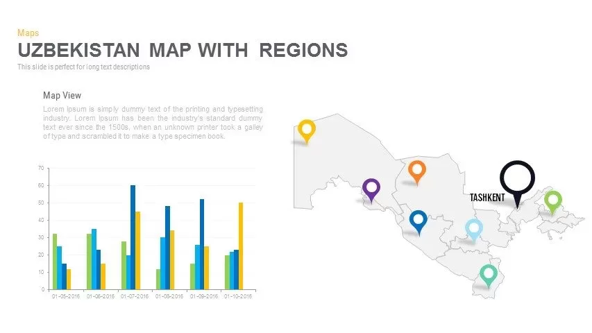
Uzbekistan Map with Regions Pack Template for PowerPoint & Google Slides
Maps
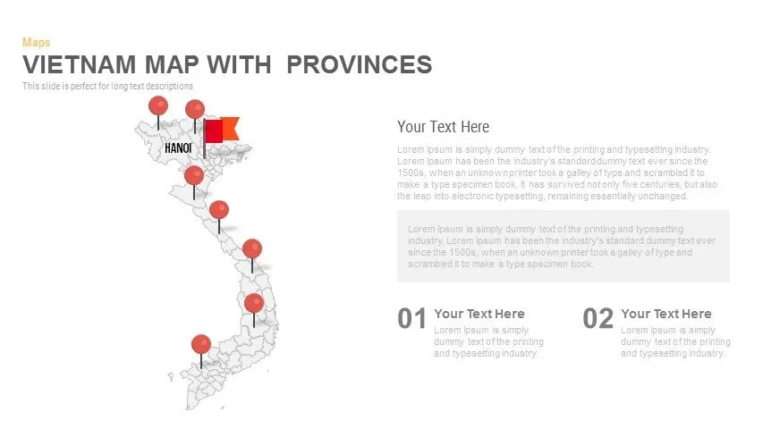
Vietnam Provinces Map Infographic Pack Template for PowerPoint & Google Slides
Maps
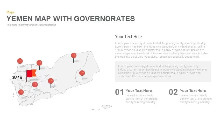
Yemen Governorates Infographic Map Template for PowerPoint & Google Slides
Maps
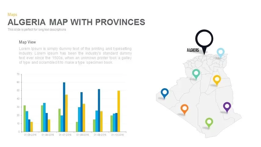
Algeria Map with Provinces Pack Template for PowerPoint & Google Slides
Maps
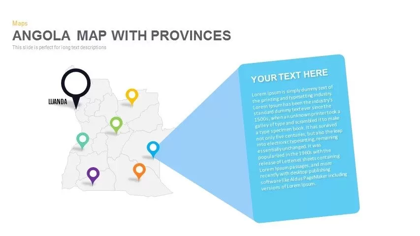
Angola Provinces Map Slide Pack Template for PowerPoint & Google Slides
World Maps
Angola Map with Provinces Slide Pack Template for PowerPoint & Google Slides
World Maps
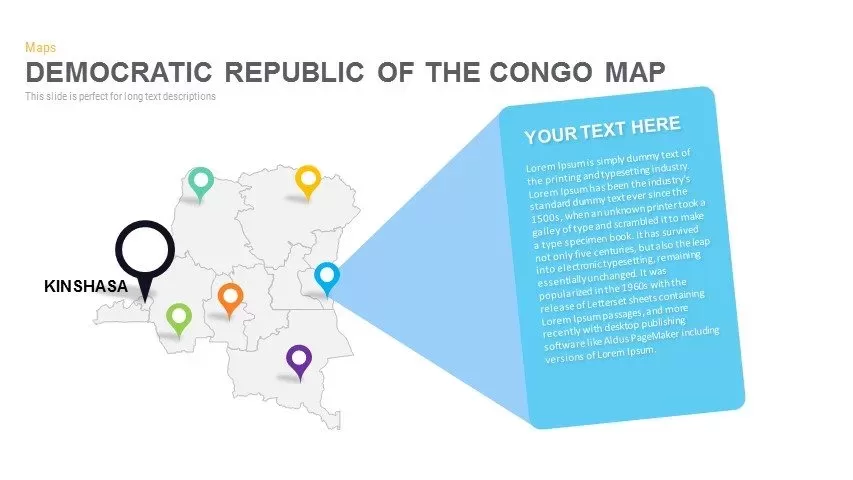
DR Congo Prefecture Map Slide Pack Template for PowerPoint & Google Slides
World Maps
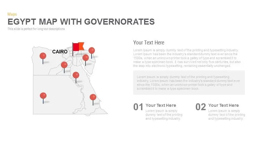
Egypt Regional Map Slide Pack Template for PowerPoint & Google Slides
World Maps
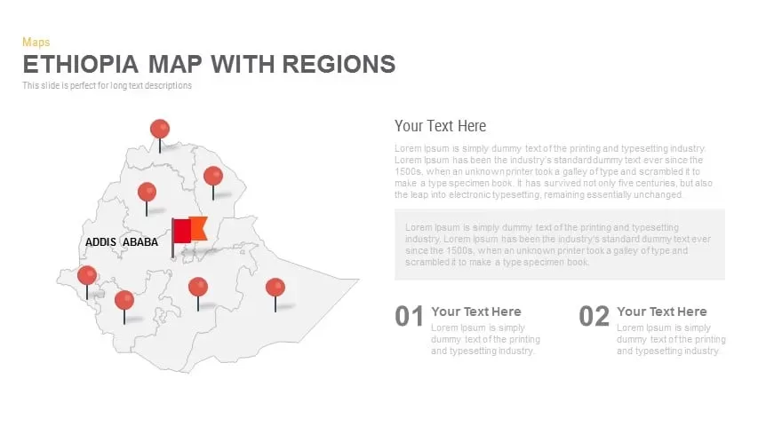
Ethiopia Map with Regions Slide Pack Template for PowerPoint & Google Slides
World Maps
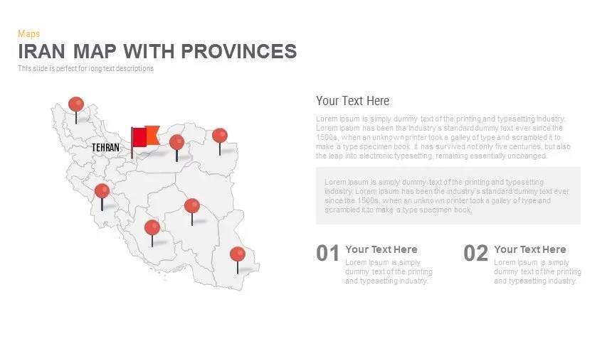
Iran Map with Provinces Slide Pack Template for PowerPoint & Google Slides
World Maps

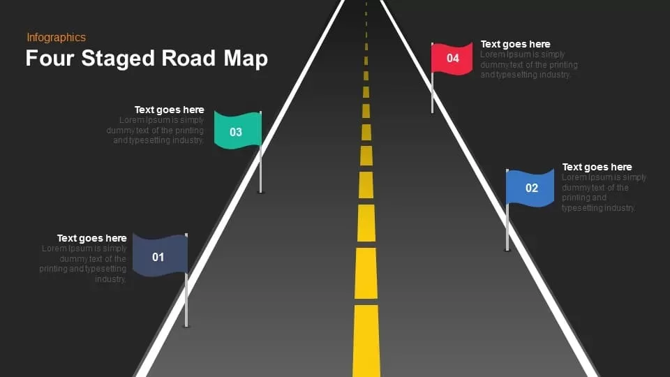
Four Staged Road Map template for PowerPoint & Google Slides
Roadmap
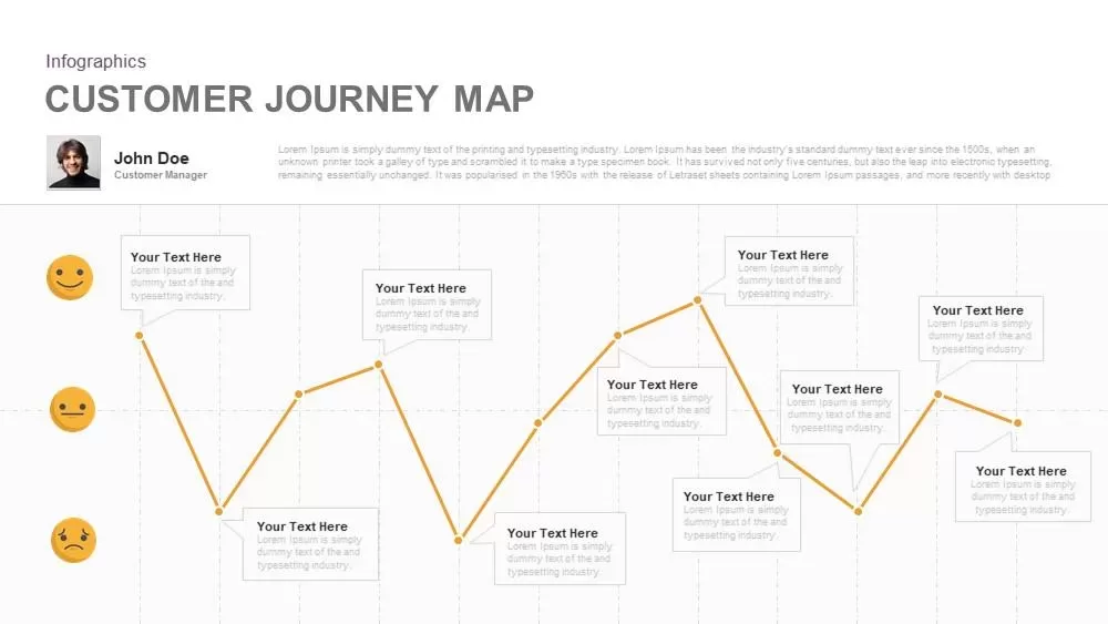
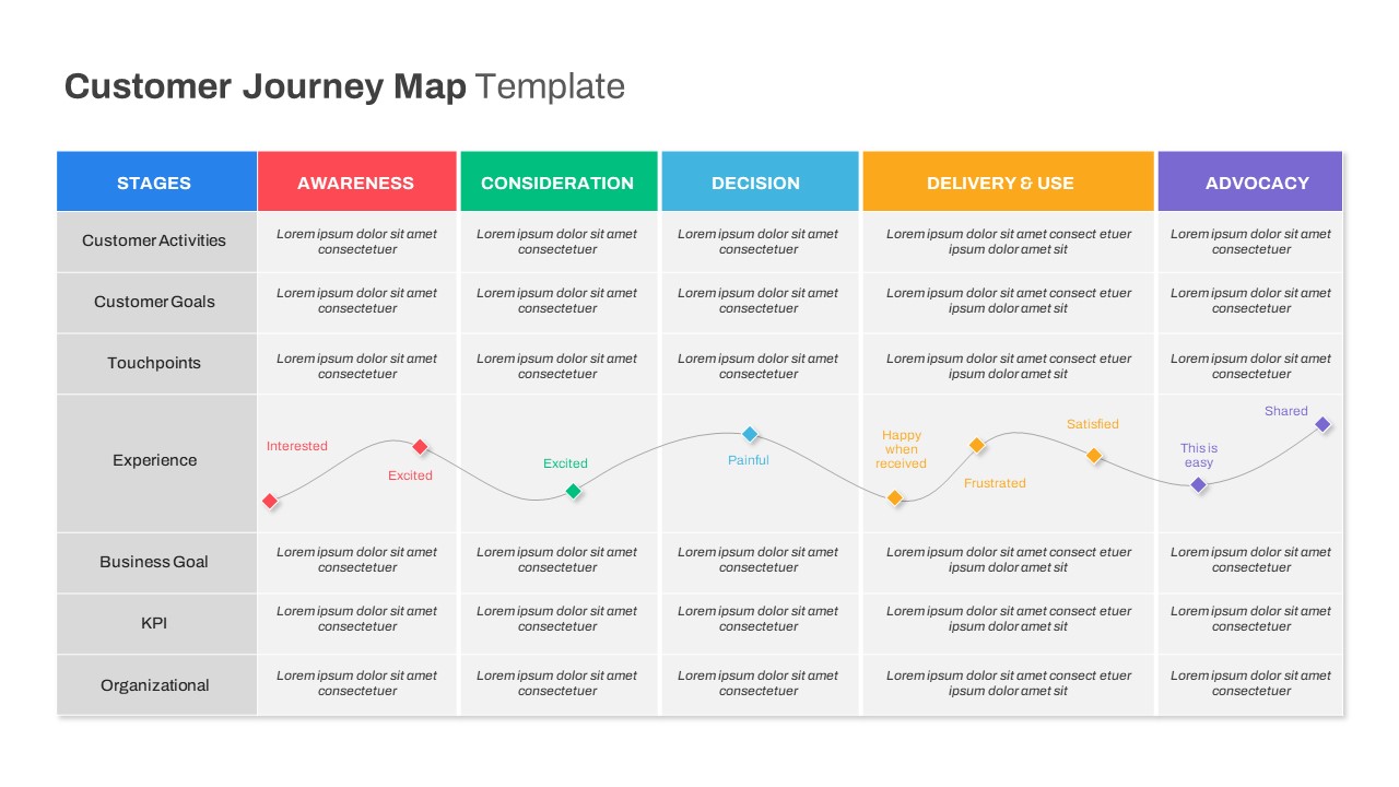
Emotional Customer Journey Map Template for PowerPoint & Google Slides
Customer Journey

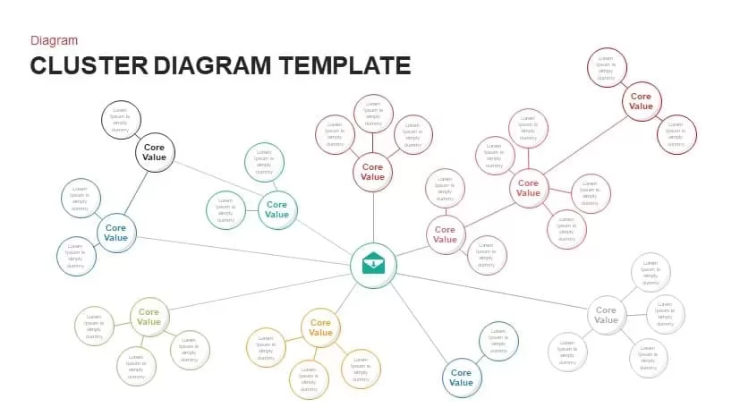
Multi-Cluster Mind Map Infographic Template for PowerPoint & Google Slides
Mind Maps
Colorful Mind Map Infographic Template with Icons for PowerPoint & Google Slides
Mind Maps
Colorful Mind Map Infographic Template for PowerPoint & Google Slides
Mind Maps

Modern World Map Callout Infographic Template for PowerPoint & Google Slides
World Maps
Eight-Node Mind Map Infographic Diagram Template for PowerPoint & Google Slides
Mind Maps
Interactive Empathy Map Diagram Template for PowerPoint & Google Slides
Process
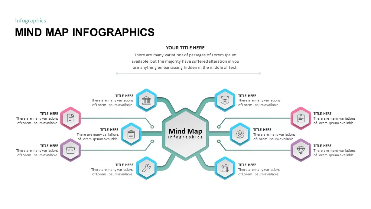
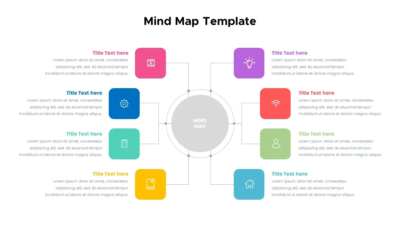
Mind Map Diagram Template for PowerPoint & Google Slides
Mind Maps
Six-Stage Road Map Infographic Timeline Template for PowerPoint & Google Slides
Roadmap
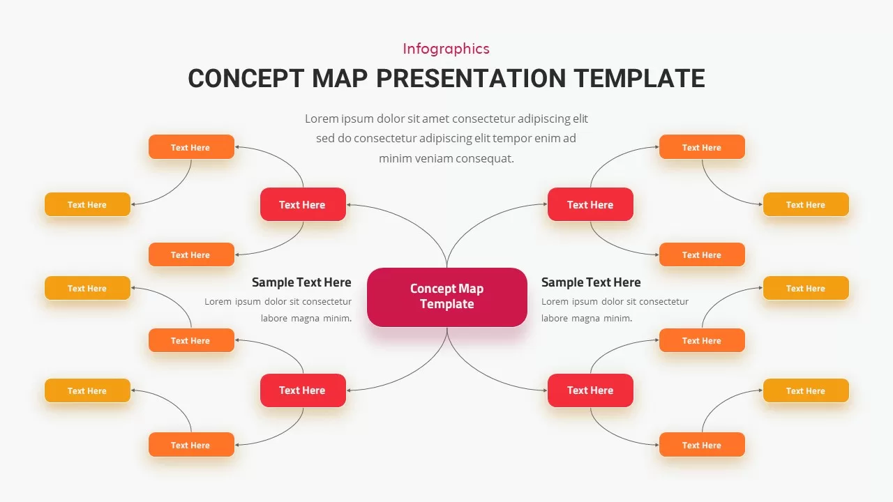
Concept Map Presentation Template for PowerPoint & Google Slides
Mind Maps
Structured Mind Map Infographic Diagram Template for PowerPoint & Google Slides
Mind Maps
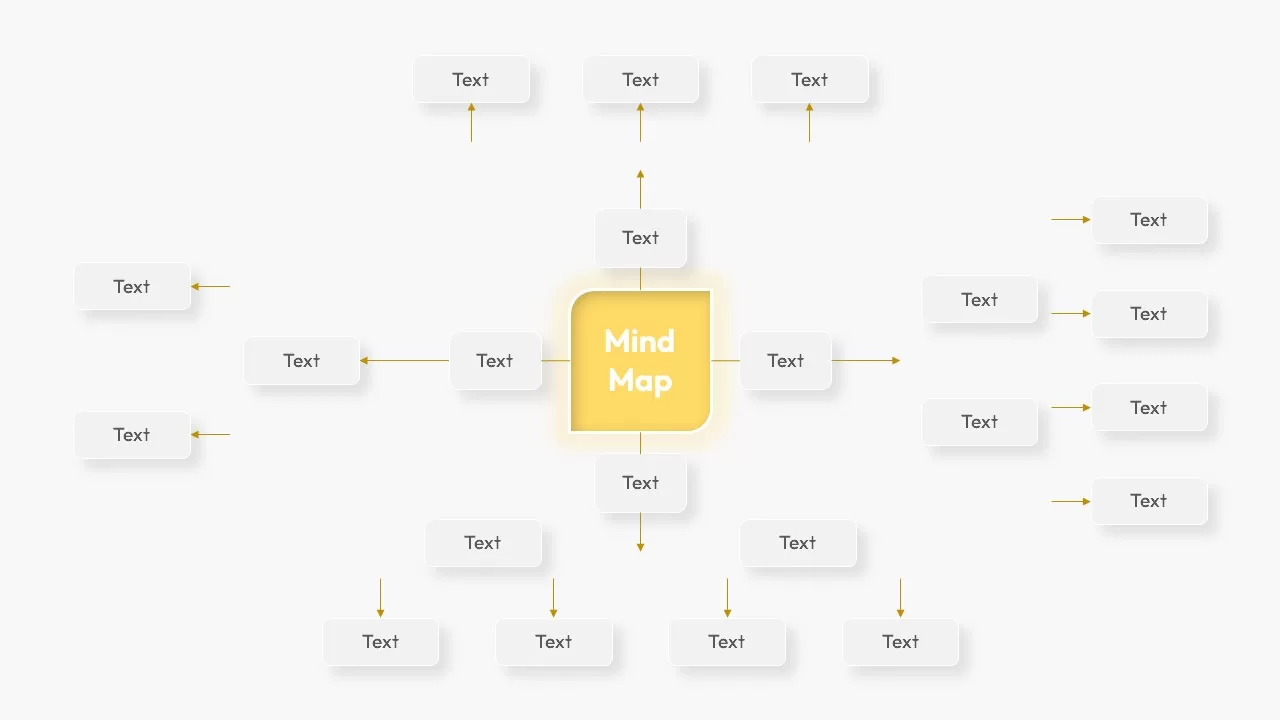
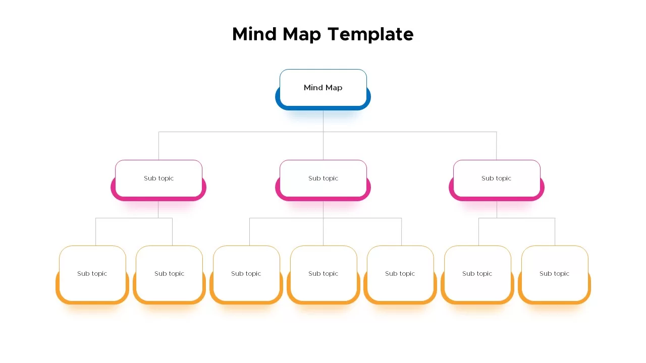
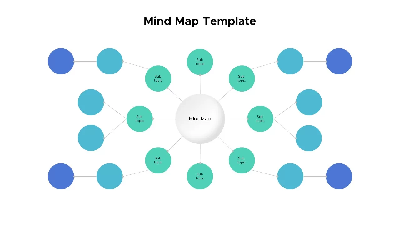
Mind Map Template for PowerPoint & Google Slides
Mind Maps
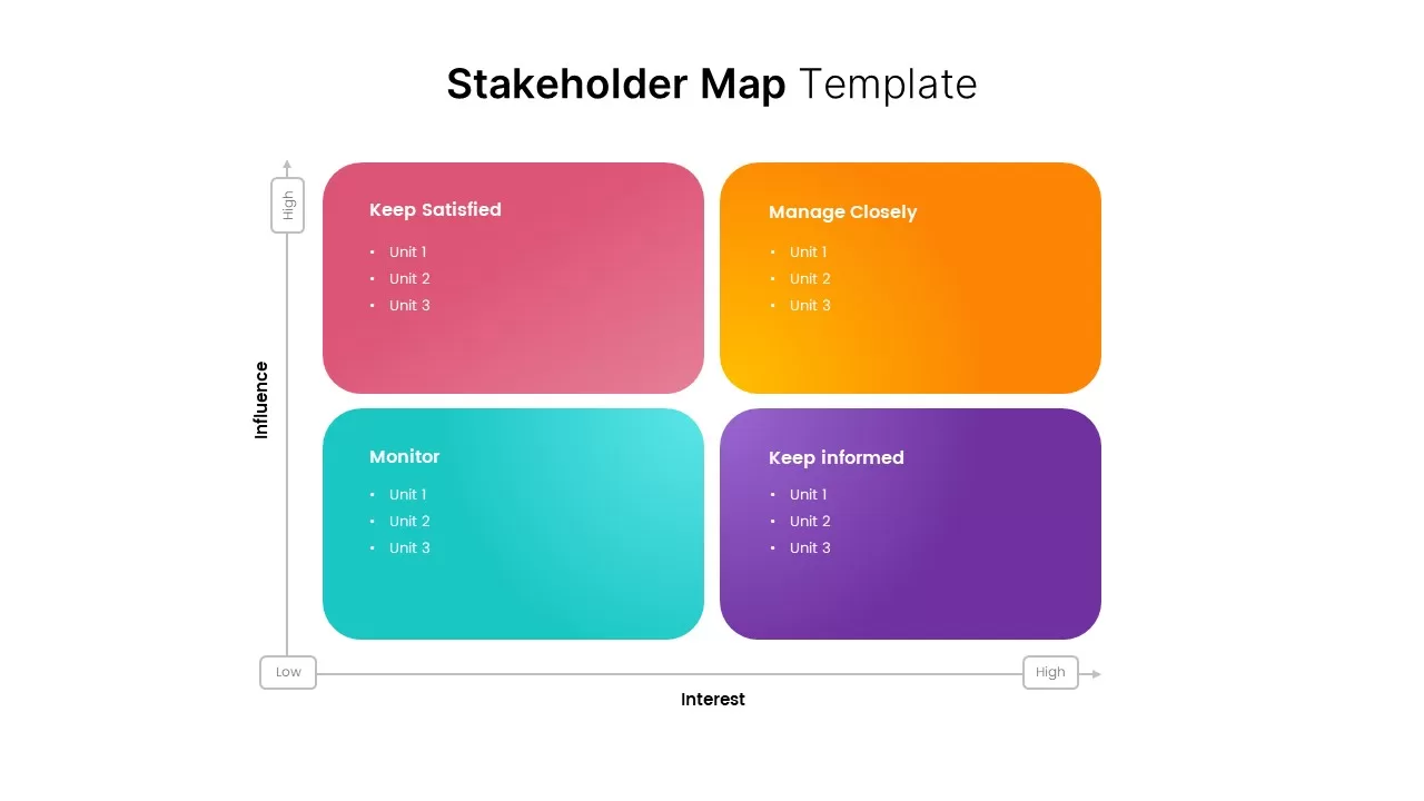
Stakeholder Map Template for PowerPoint & Google Slides
Business
Colorful Mind Map Template for PowerPoint & Google Slides
Mind Maps
Circular Mind Map Template for PowerPoint & Google Slides
Mind Maps
Colorful Mind Map with Icons Template for PowerPoint & Google Slides
Mind Maps
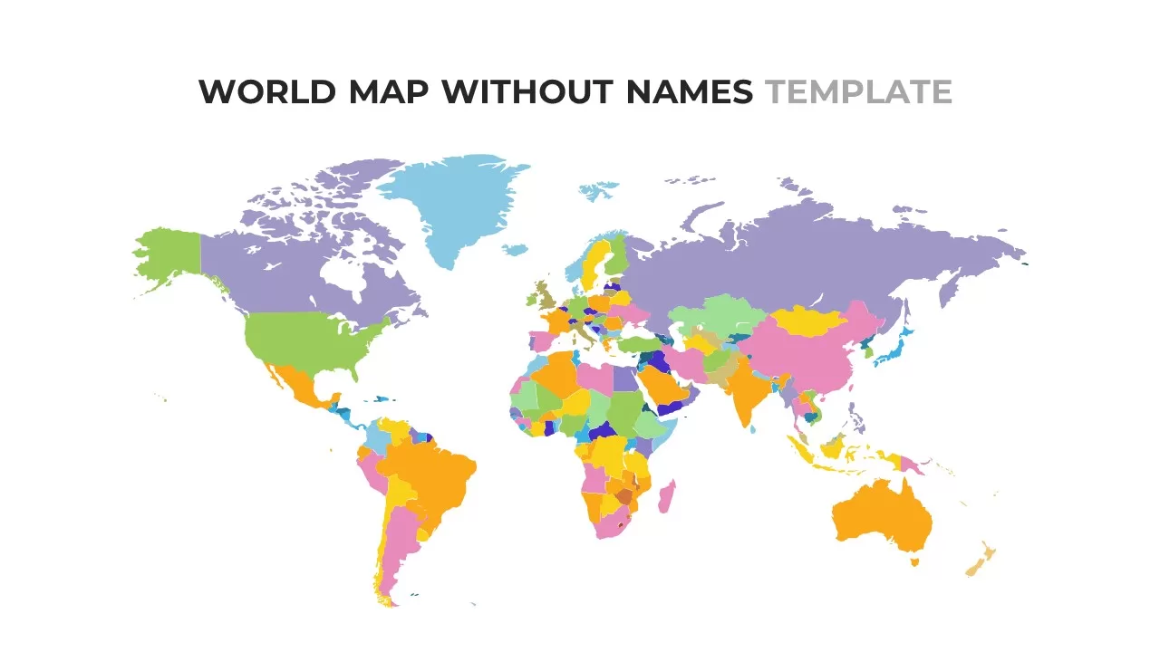
World Map Without Names Template for PowerPoint & Google Slides
World Maps
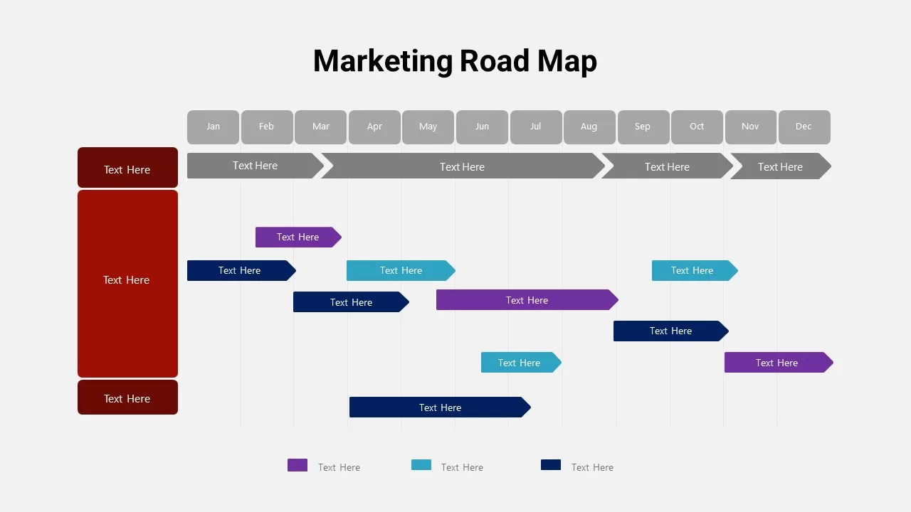
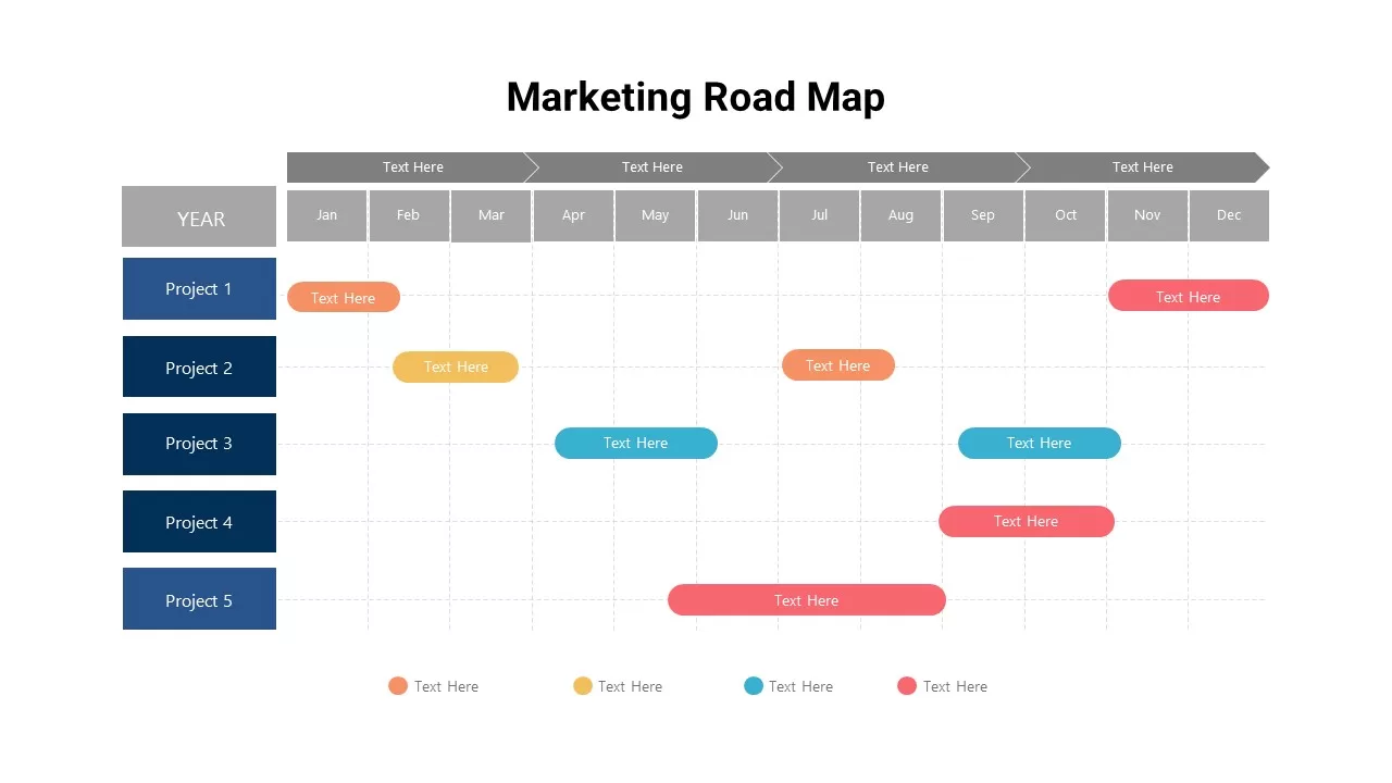
Detailed Marketing Road Map Timeline Template for PowerPoint & Google Slides
Timeline
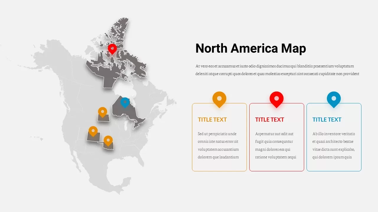
North America Location Pin Map Overview Template for PowerPoint & Google Slides
World Maps
Marketing Projects Road Map Timeline Template for PowerPoint & Google Slides
Roadmap
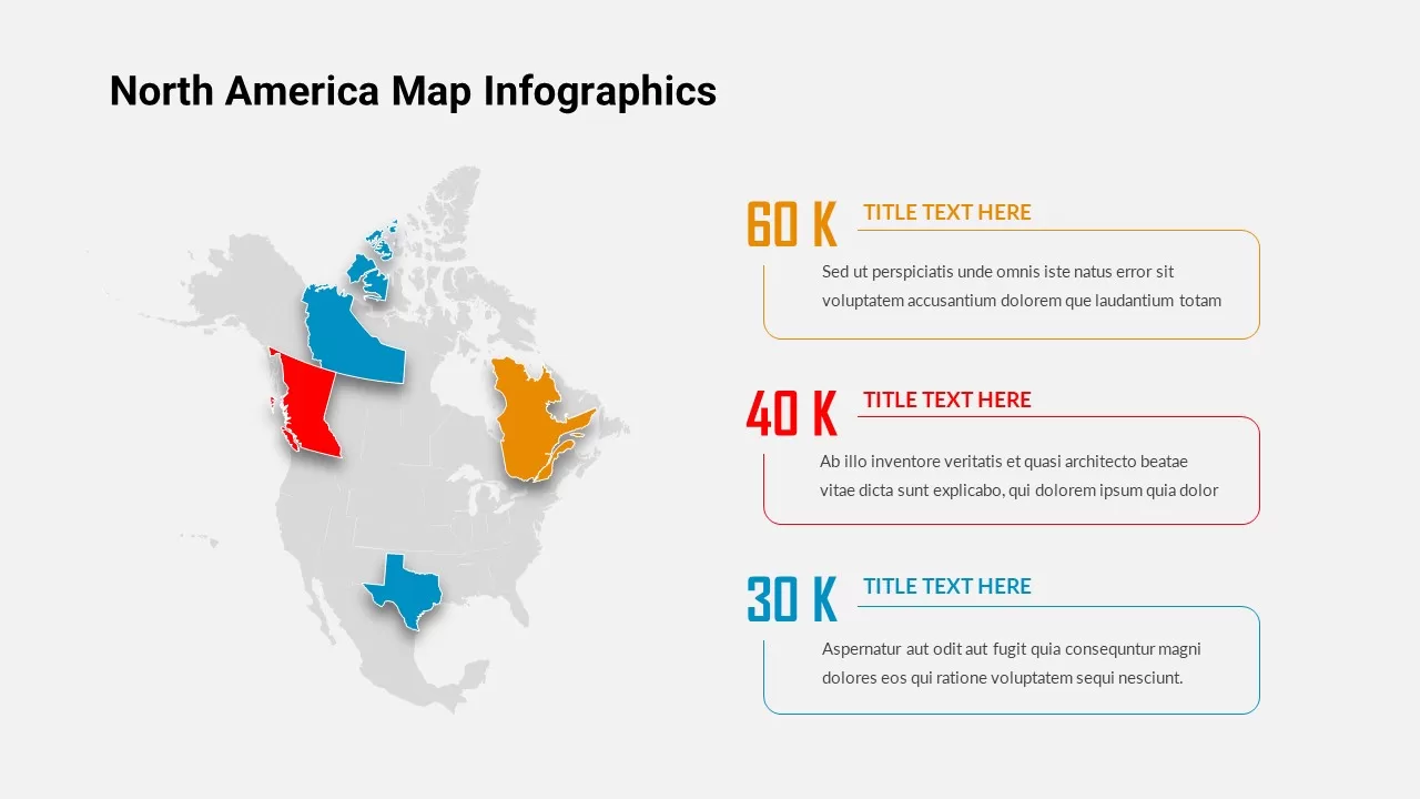
North America Map Infographic Slide Template for PowerPoint & Google Slides
World Maps
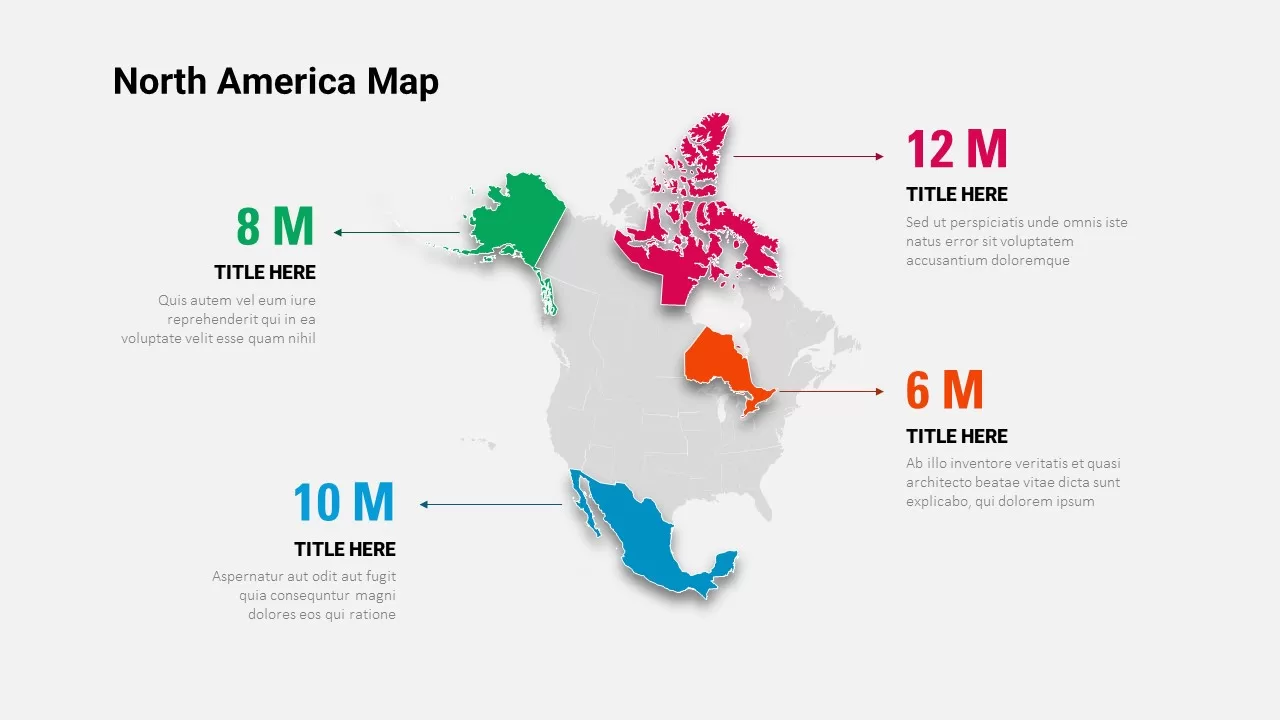
North America Data Map Callouts Template for PowerPoint & Google Slides
World Maps
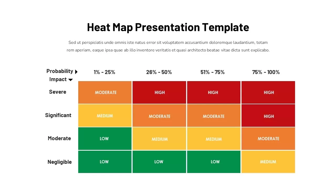
Heat Map Risk Assessment Presentation Template for PowerPoint & Google Slides
Risk Management
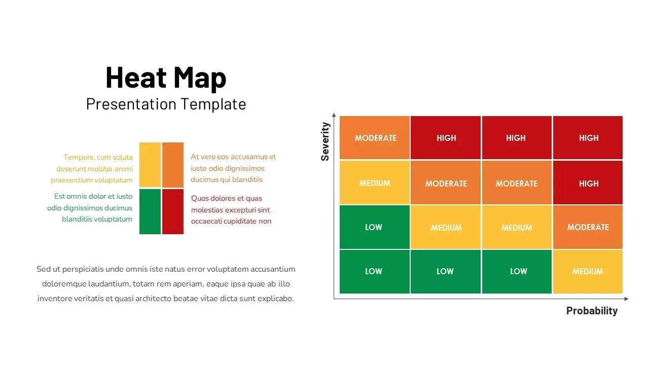
Professional Risk Heat Map Visualization Template for PowerPoint & Google Slides
Risk Management
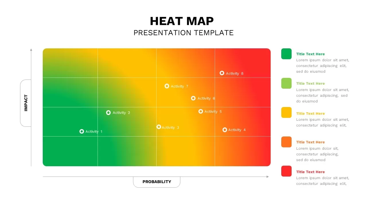
Heat Map Infographic Template For Risk Assessment and Priority Analysis
Comparison Chart
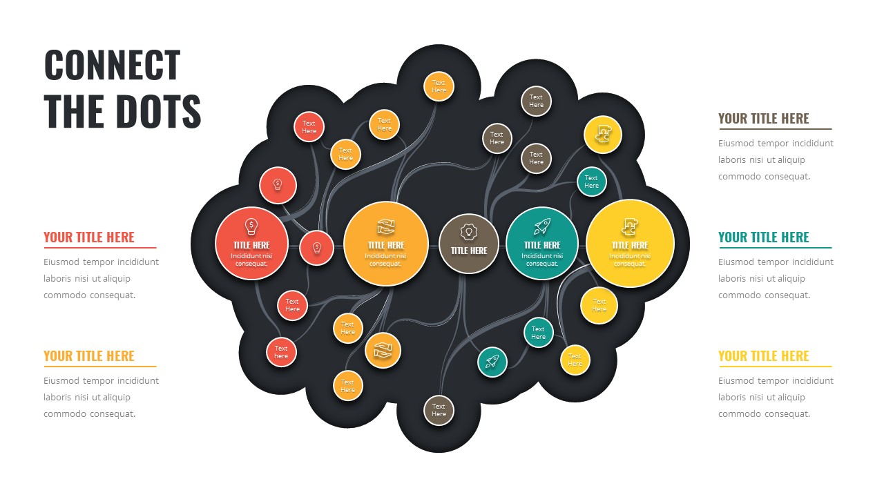
Connect the Dots Mind Map template for PowerPoint & Google Slides
Mind Maps
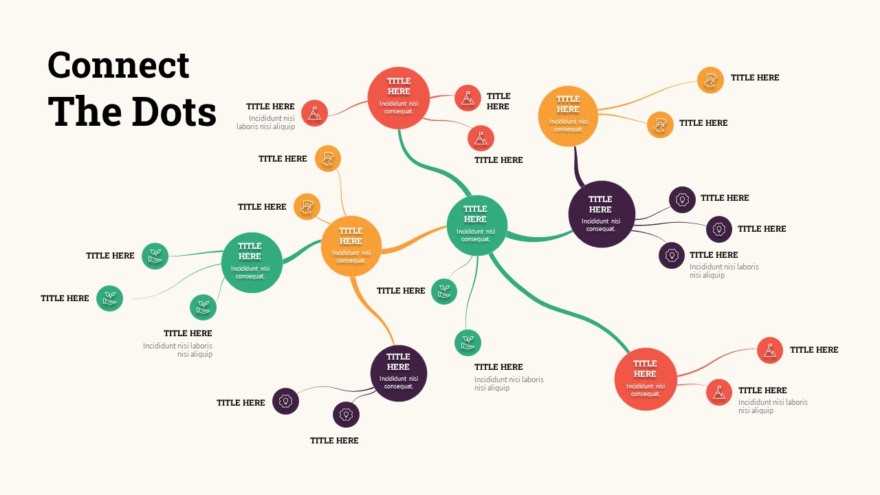
Connect the Dots Mind Map Diagram Template for PowerPoint & Google Slides
Mind Maps
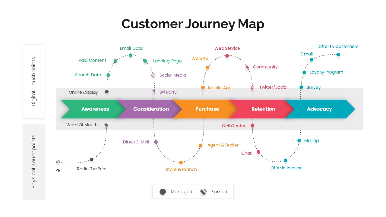
Versatile Customer Journey Map Template for PowerPoint & Google Slides
Customer Journey
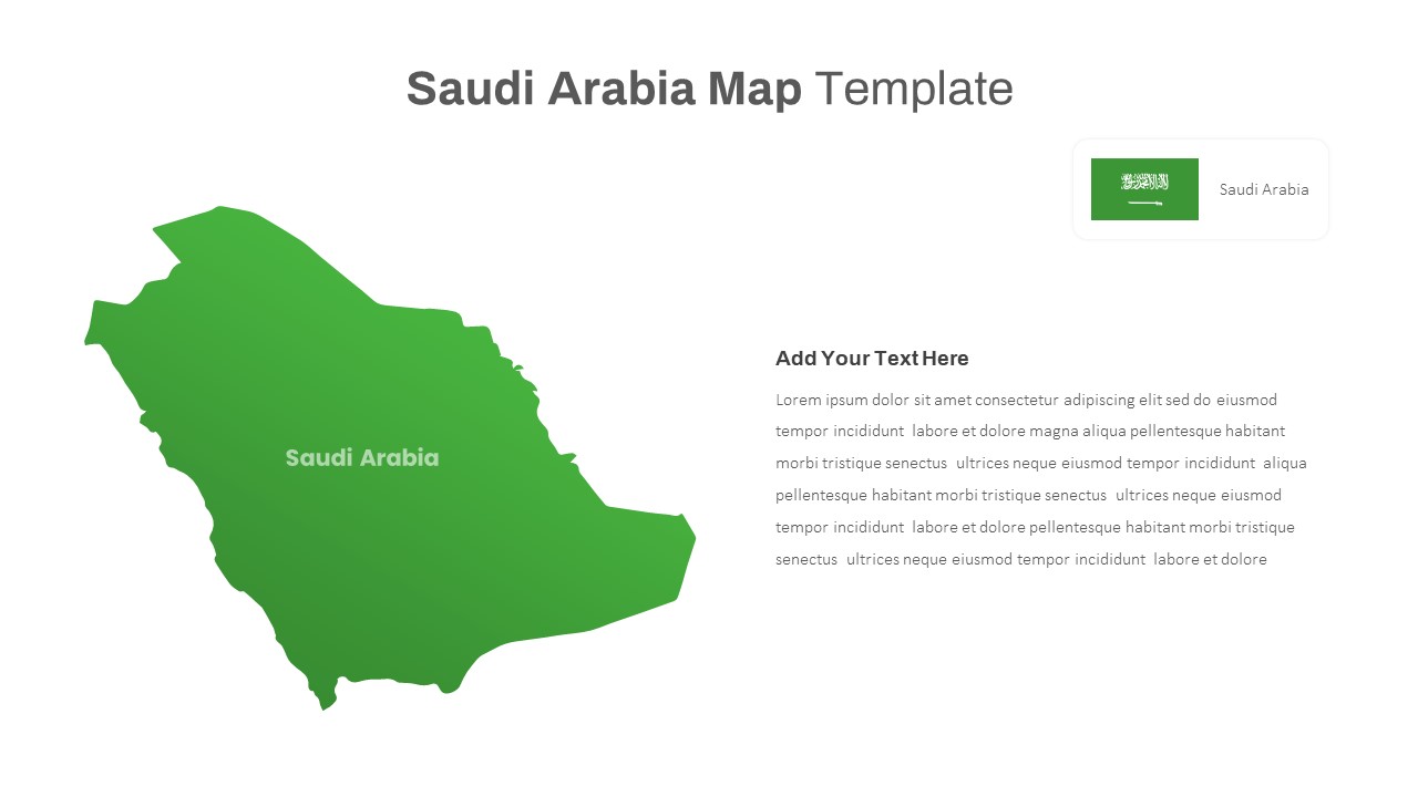
Free Editable Saudi Arabia Map Template for PowerPoint & Google Slides
World Maps
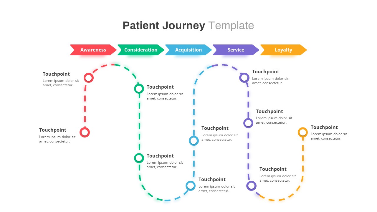
Healthcare Patient Journey Map Template for PowerPoint & Google Slides
Health
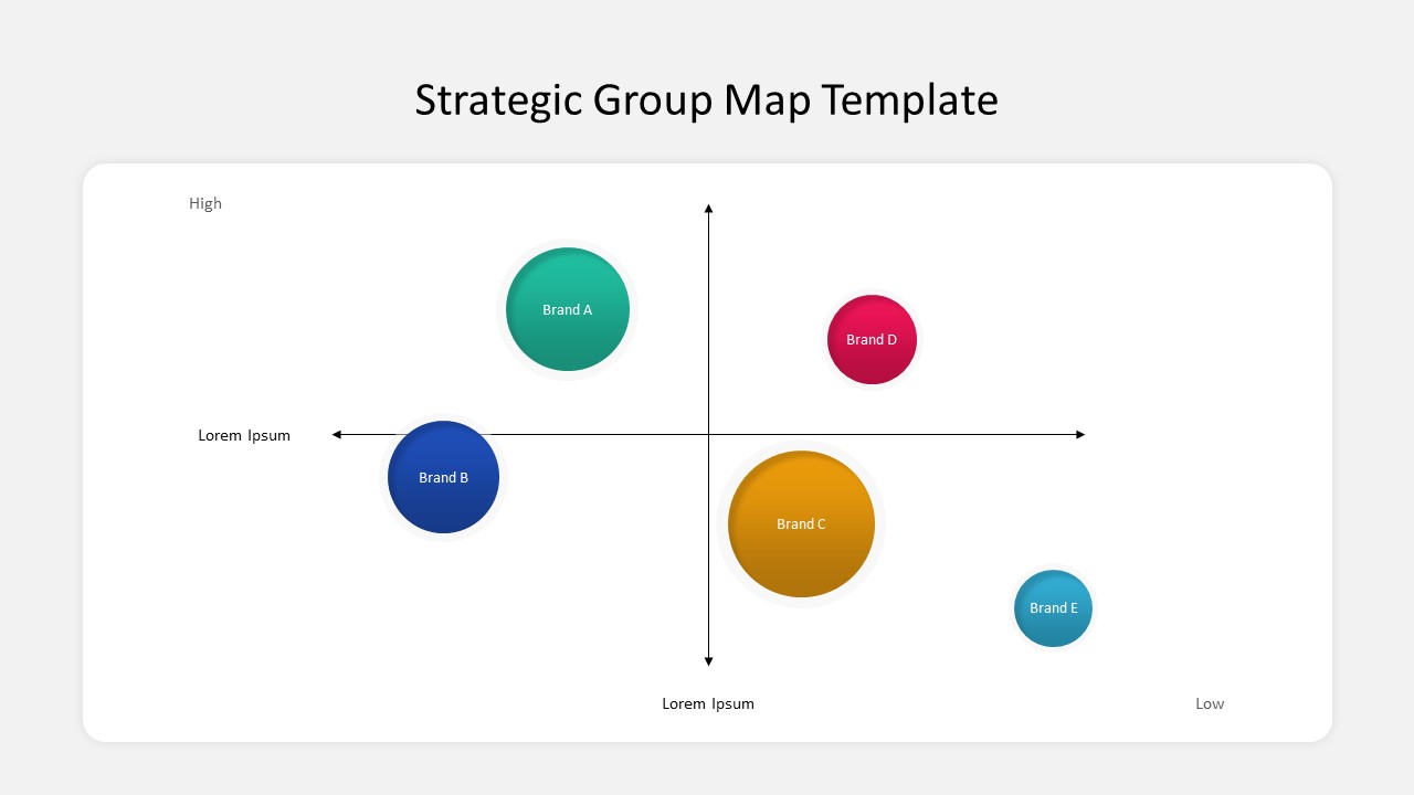
Free Strategic Group Map Template
Competitor Analysis
Free
World Map PowerPoint Template Free
World Maps
Free
UK Counties Map Data Visualization Template for PowerPoint & Google Slides
World Maps
Colorful World Map with Location Pins Template for PowerPoint & Google Slides
World Maps
Customer Journey Map PowerPoint Templates
Customer Journey
Colorful Multi-Branch Mind Map Slide Template for PowerPoint & Google Slides
Mind Maps
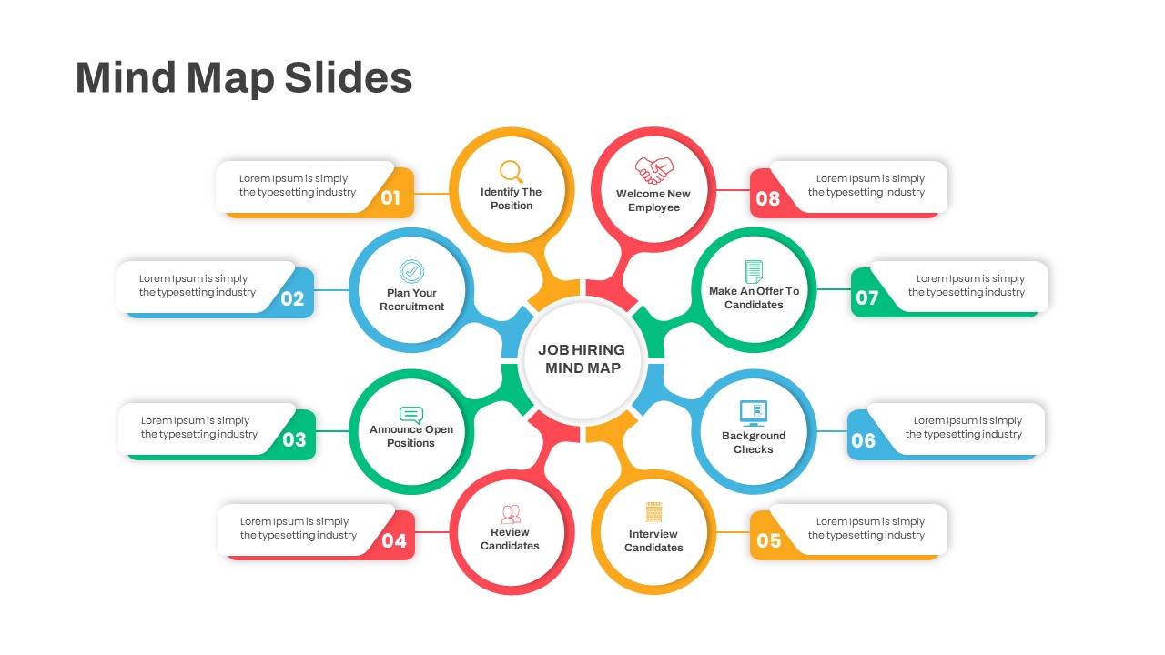
Eight-Step Job Hiring Mind Map Template for PowerPoint & Google Slides
Mind Maps
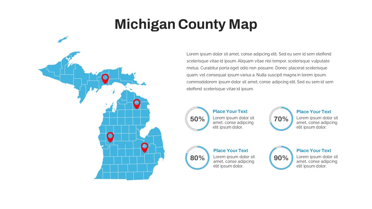
Michigan County Map with KPI Dashboard Template for PowerPoint & Google Slides
World Maps
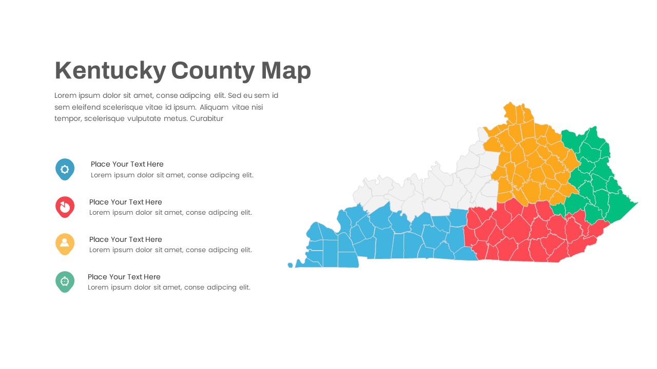
Kentucky County Map Visualization Template for PowerPoint & Google Slides
World Maps
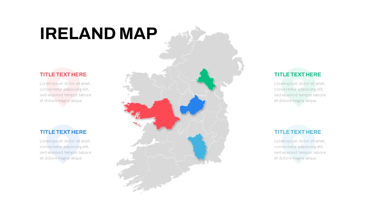
Editable Ireland Map Infographic Slide Template for PowerPoint & Google Slides
World Maps
Free
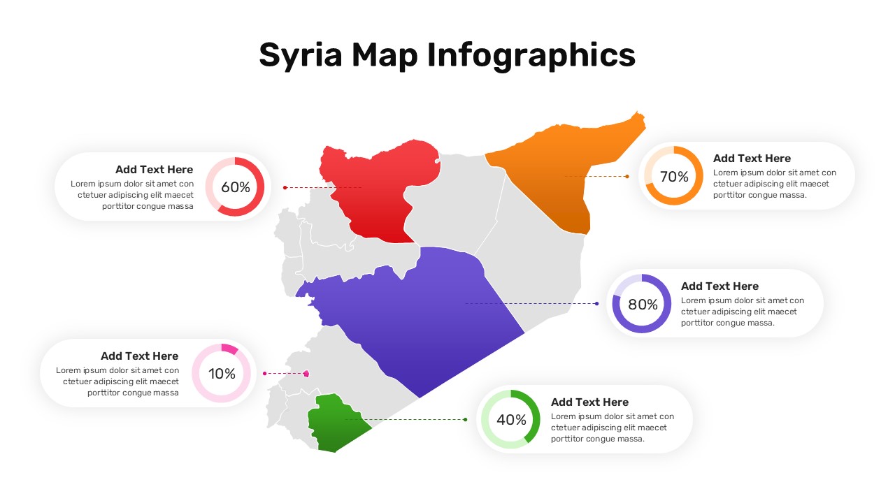
Syria Regional Data Map Infographic Template for PowerPoint & Google Slides
World Maps
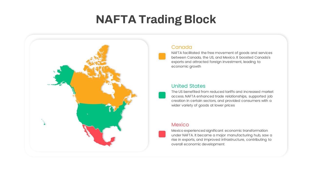
NAFTA Trading Block Map Infographic Template for PowerPoint & Google Slides
World Maps
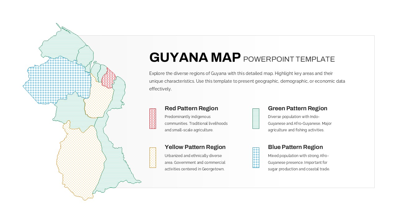
Patterned Guyana Regional Map Template for PowerPoint & Google Slides
World Maps
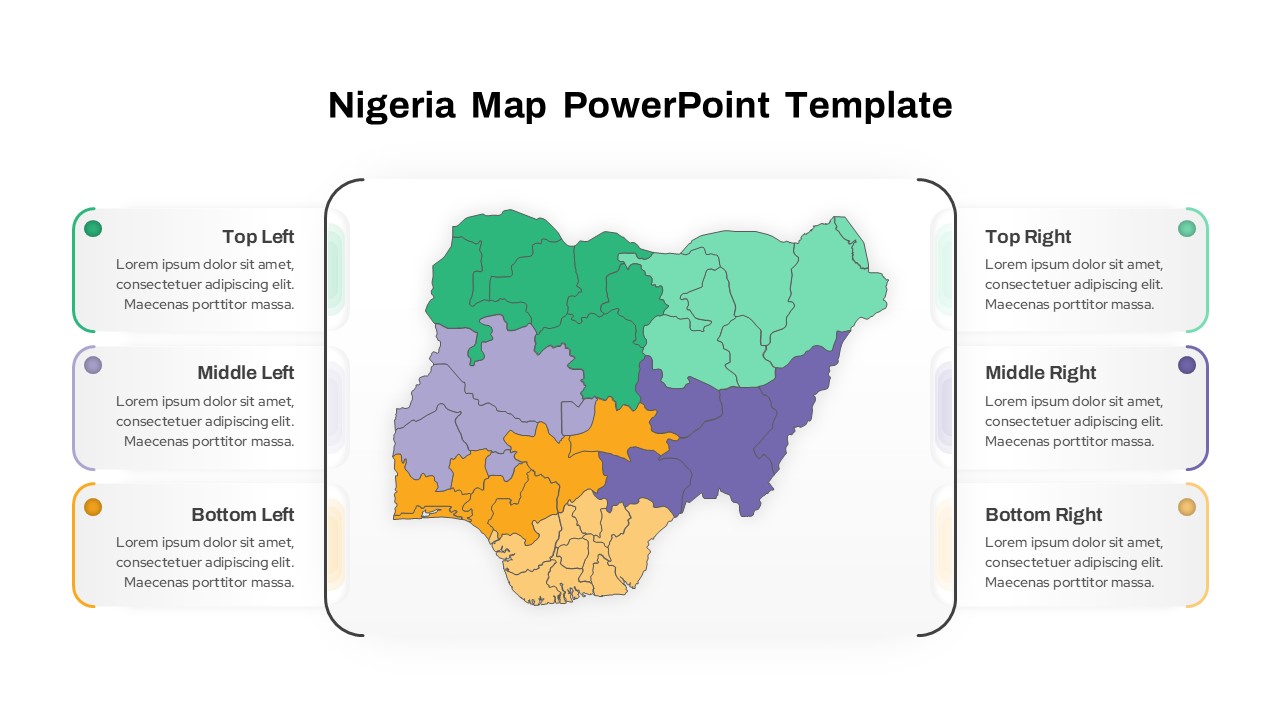
Nigeria Regional Callout Map Diagram Template for PowerPoint & Google Slides
Maps
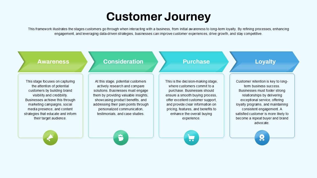
Customer Journey Process Map Infographic Template for PowerPoint & Google Slides
Customer Journey
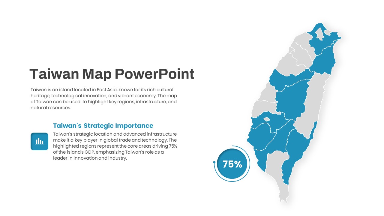
Interactive Taiwan Map Highlight Template for PowerPoint & Google Slides
World Maps
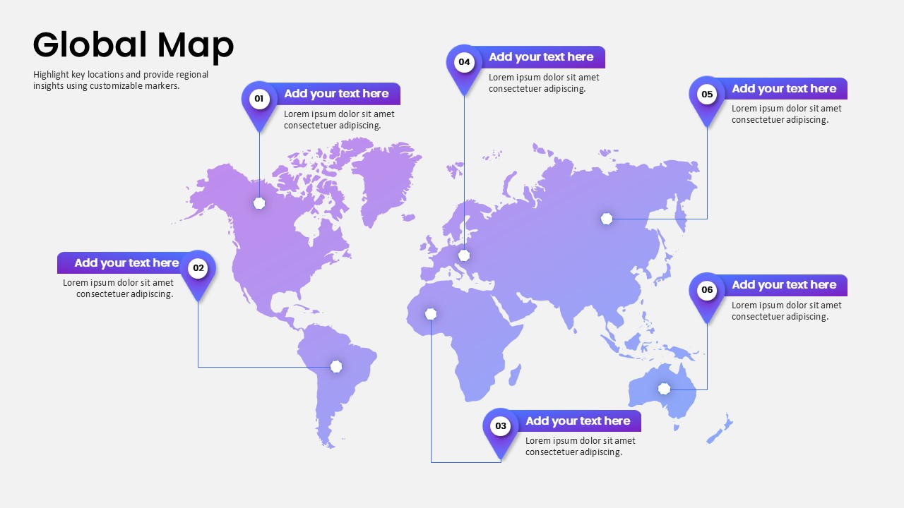
Global Map Highlighting Key Locations template for PowerPoint & Google Slides
World Maps
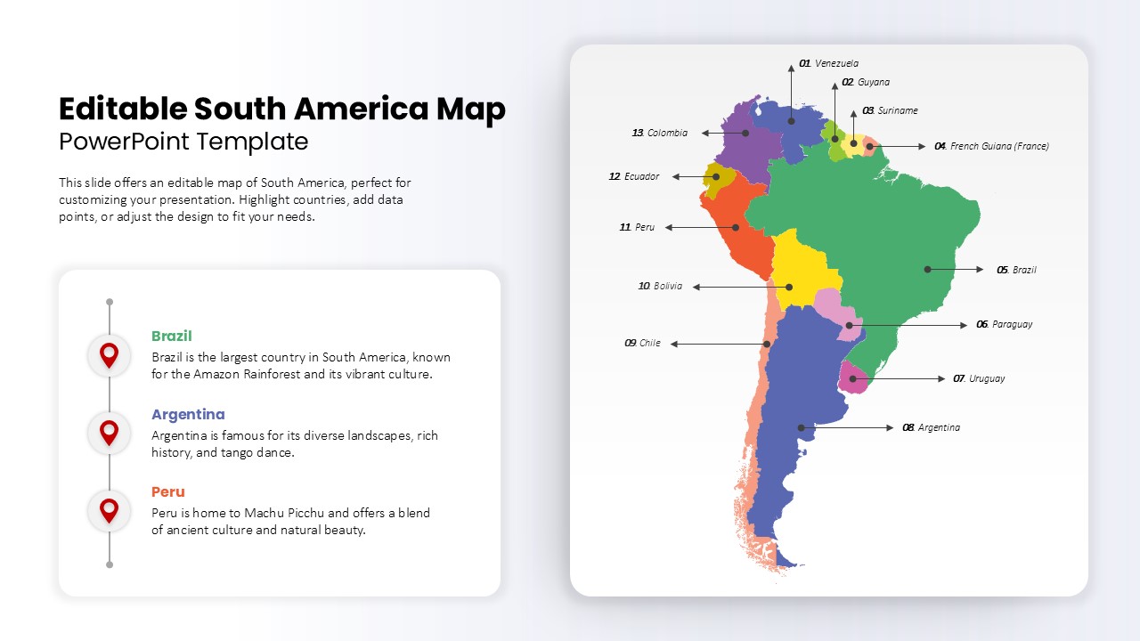
Editable South America Map Diagram Template for PowerPoint & Google Slides
Maps
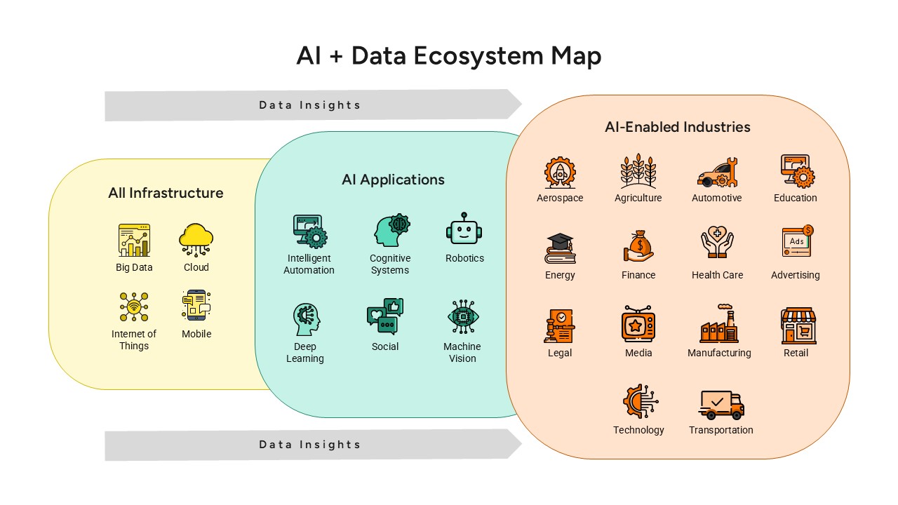
AI and Data Ecosystem Map Template for PowerPoint & Google Slides
AI
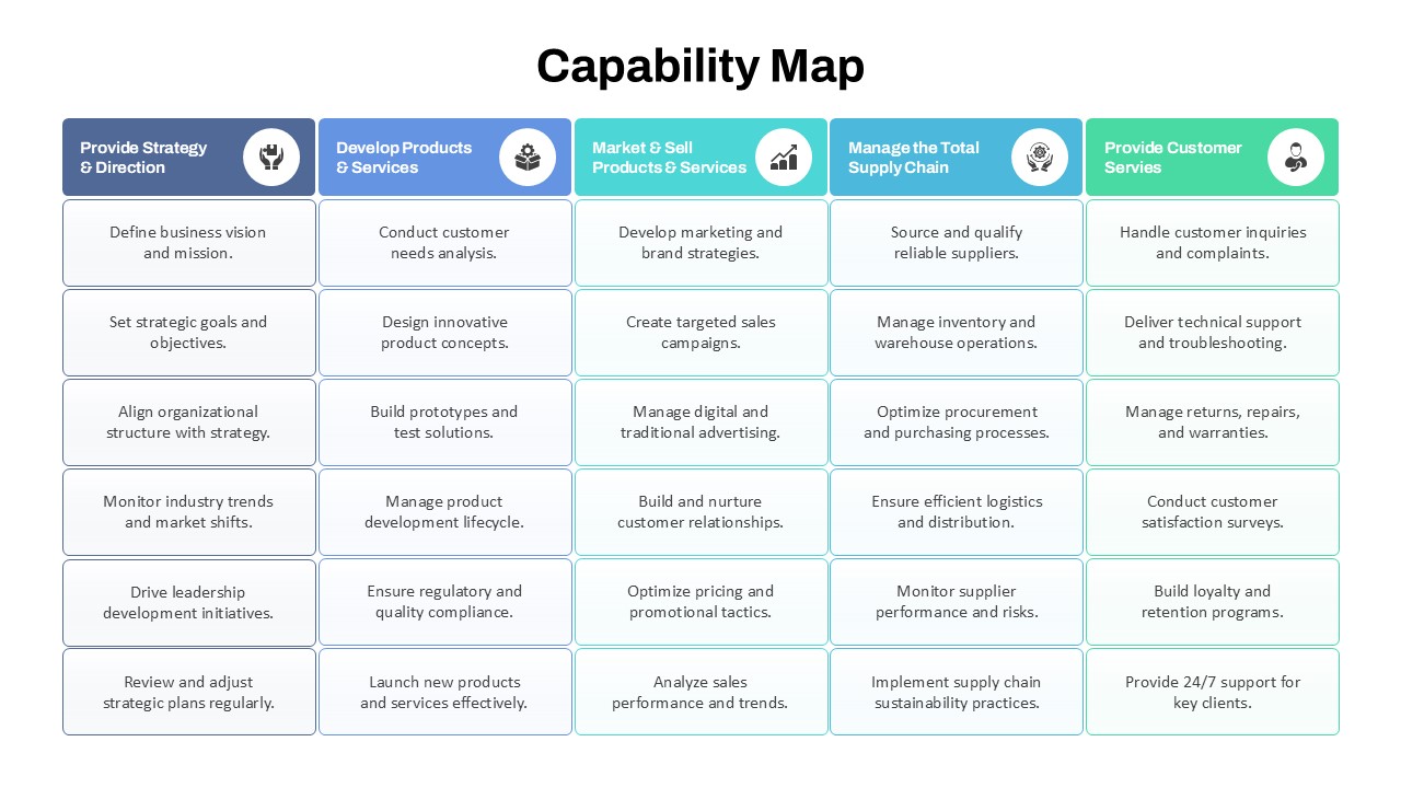
Capability Map Overview Template for PowerPoint & Google Slides
Business Strategy
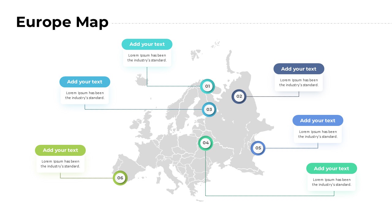
Europe Map with Six Editable Points Template for PowerPoint & Google Slides
World Maps
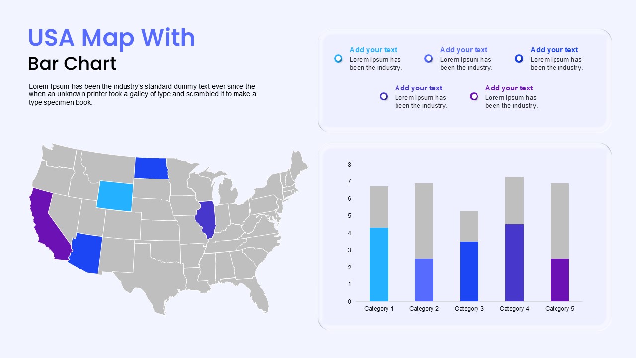
USA Map with Bar Chart Template for PowerPoint & Google Slides
World Maps
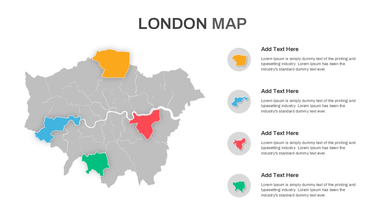
London Map with Highlighted Boroughs Template for PowerPoint & Google Slides
World Maps
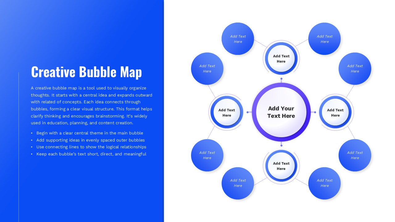
Creative Bubble Mind Map Template for PowerPoint & Google Slides
Mind Maps

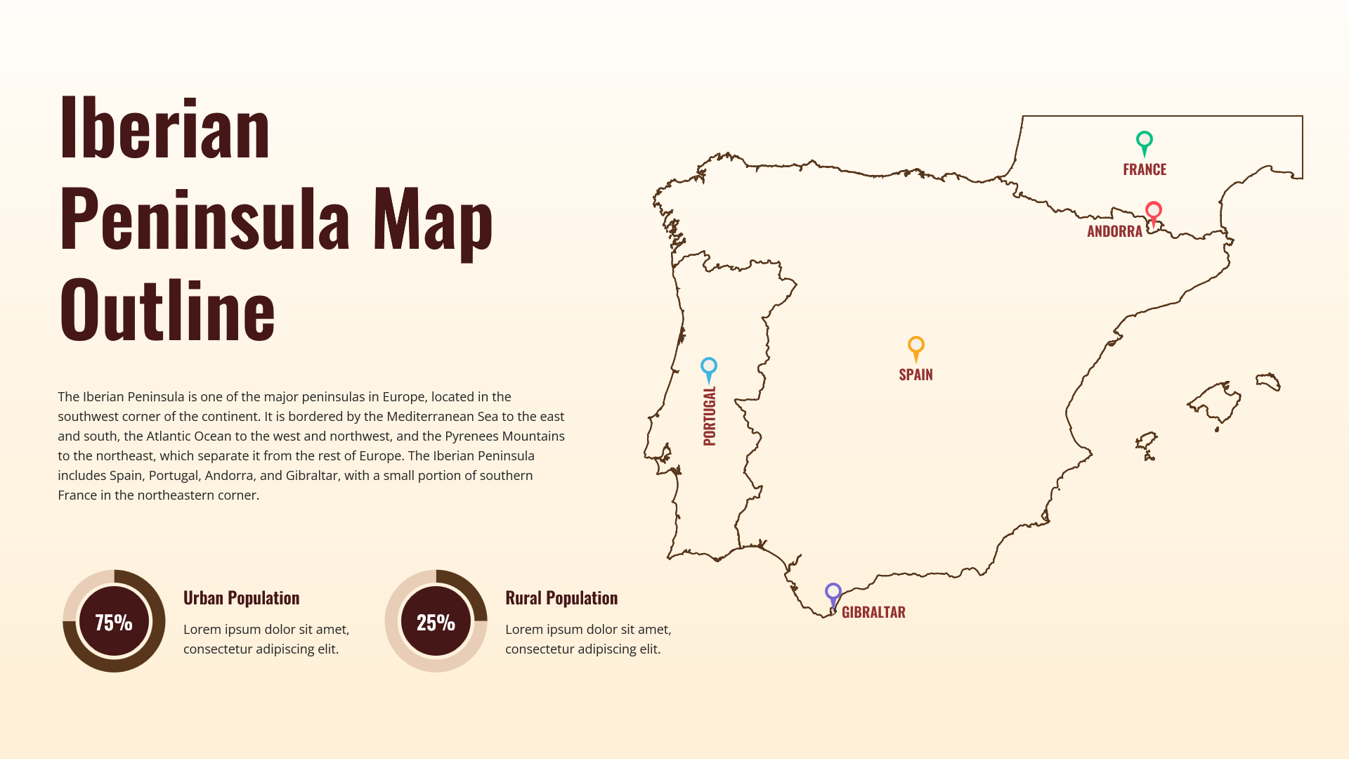
Iberian Peninsula Map Outline Infographic Template for PowerPoint & Google Slides
World Maps