
















Portland Oregon US Map For PowerPoint
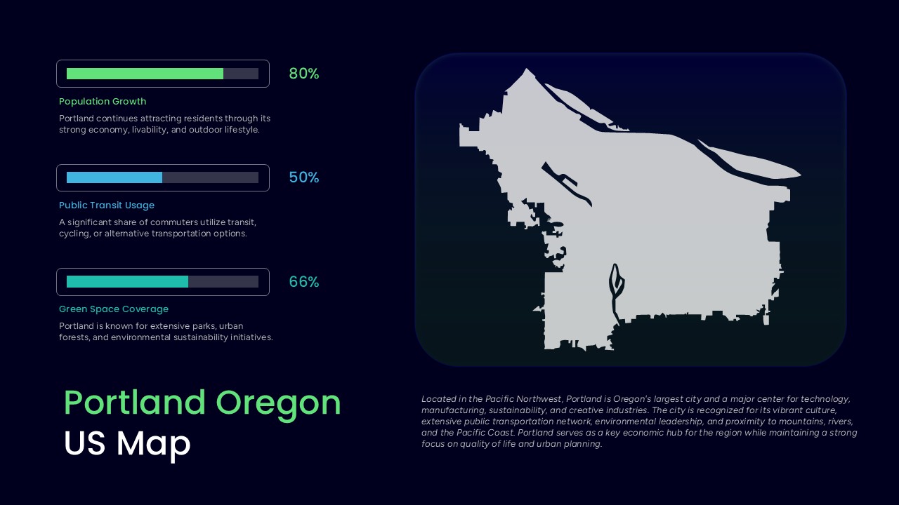
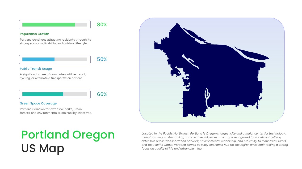
Editable Portland Oregon US Map for PowerPoint is a city-focused presentation slide featuring a geographic map illustration created with a distinctive silhouette design. The slide combines a prominent Portland map with three progress bar visuals and supporting text to present population growth, public transit usage, and green space coverage. With dark and light background options, this template offers a flexible layout for displaying city statistics and location-based information.
This Portland map PowerPoint slide can be used to present urban data, regional insights, and geographic information in a clear visual format. The map illustration helps establish the location, while the percentage indicators make key statistics easy to identify and discuss.
The template is suitable for urban planning presentations, city reports, educational projects, regional research, and sustainability discussions. Customize the labels, percentages, and descriptive text to reflect your own data and use the slide to communicate Portland’s urban profile and development trends.
Frequently Asked Questions
What information can you present using a Portland Oregon Map Template?
Where can I use a Portland Oregon map presentation slide?
Login to download this file

Item ID
SB05991Designed By
Naseeba Sithara


Related Templates

Asia Map PowerPoint Template and Google Slide with Countries
World Maps
Mind map PowerPoint Template and Google Slide Slide in Diamond Shape
Mind Maps
Circle Mind Map Template for PowerPoint
Mind Maps
Panama Map with Region Markers Template for PowerPoint & Google Slides
World Maps

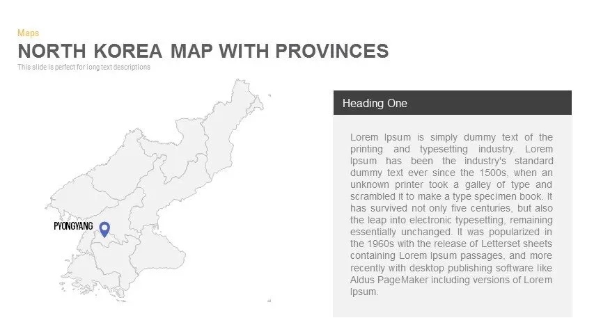
North Korea Map with Provinces Infographic Pack Template for PowerPoint & Google Slides
Maps
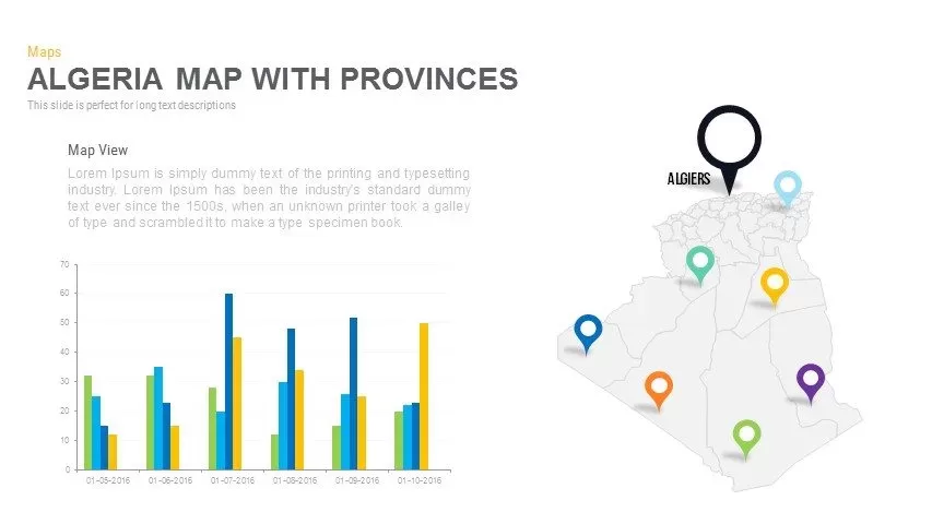
Algeria Map With provinces PowerPoint Template
Maps
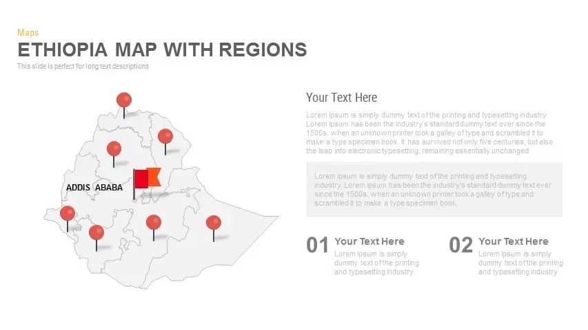
Ethiopia Map with Regions Slide Pack Template for PowerPoint & Google Slides
World Maps
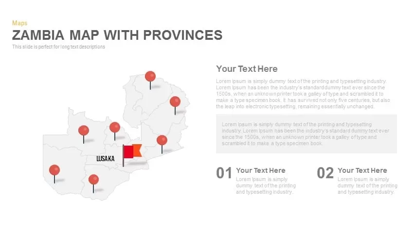
Zambia Map With provinces PowerPoint template
World Maps
Mind Map Infographic Slide Template for PowerPoint & Google Slides
Mind Maps
Dual Topic Mind Map Infographic Template for PowerPoint & Google Slides
Mind Maps
Editable World Map Callout Infographic Template for PowerPoint & Google Slides
World Maps
Colorful Mind Map PowerPoint Template
Mind Maps
Circular Mind Map Template for PowerPoint & Google Slides
Mind Maps
Marketing Projects Road Map Timeline Template for PowerPoint & Google Slides
Roadmap
Latam Map PowerPoint Template
World Maps
United Kingdom UK Counties Map PowerPoint Templates
World Maps
AI Mind Map PowerPoint Template
Mind Maps
Editable Greece Map for PowerPoint & Google Slides
Maps
USA Map with Bar Chart Template for PowerPoint & Google Slides
World Maps
World Map Puzzle PowerPoint Template
World Map