North America Maps
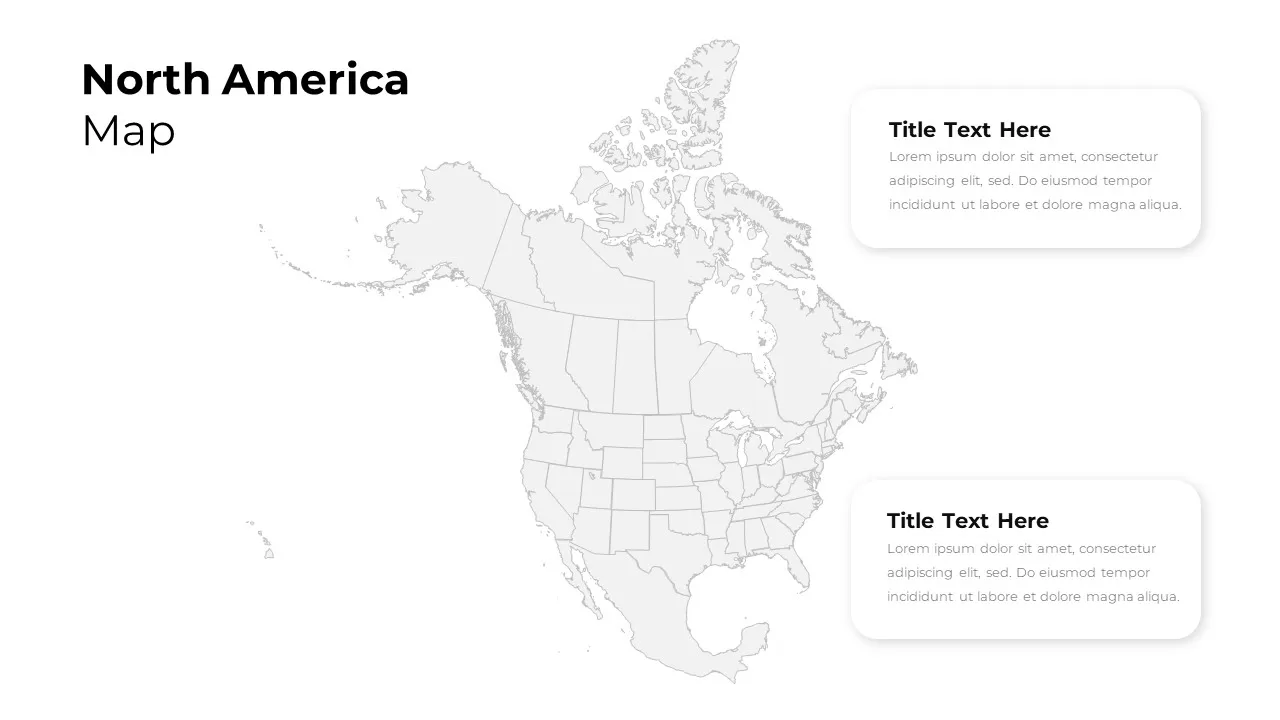
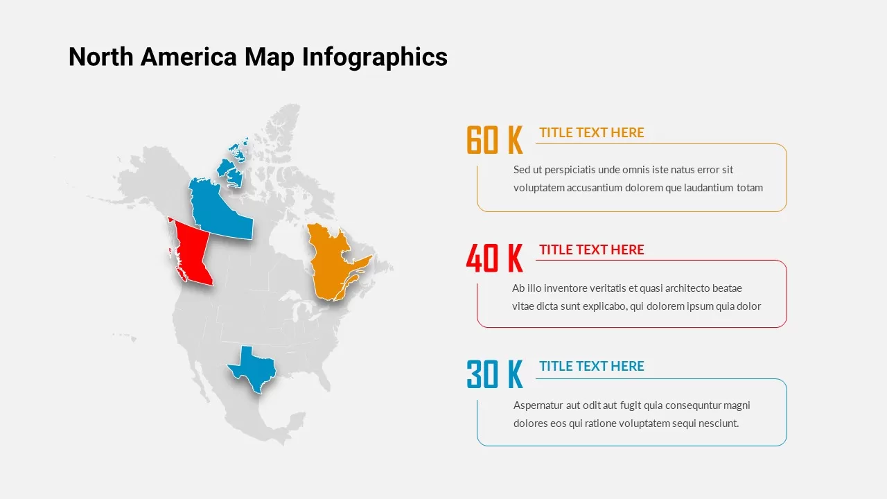
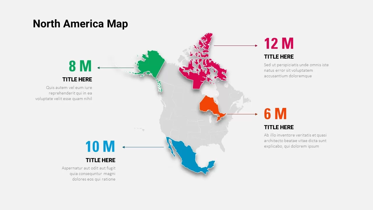
Geographic context changes how an audience receives information, and the North America Map template gives presenters a clean, editable way to bring that context onto the slide. The layout features a detailed map of North America with each country marked in a distinct color, making regional boundaries easy to read at a glance. Location pins are included for marking capital cities, so the map can double as a reference tool or a focal point for country-specific data.
Every element of the design stays flexible. Country colors can be changed to match your brand palette, highlight specific regions, or represent data ranges such as sales performance or market penetration. Pins marking capitals can be repositioned, added, or removed depending on how much detail your presentation needs, whether that’s a single country deep-dive or a full continental overview.
This North America map template works well for:
- Sales territory and regional performance reports
- Market entry and expansion strategy presentations
- Logistics, distribution, and supply chain overviews
- Political, demographic, or economic country comparisons
- Travel, tourism, and destination planning decks
- Educational or geography-focused presentations
The template is compatible with PowerPoint, Google Slides, and Keynote, so it fits into whatever software your team already presents with, without conversion issues or lost formatting. Vector-based country shapes mean the map stays sharp at any size, from a small inset graphic to a full-slide focal point.
Whether you’re mapping out a regional sales strategy, comparing capital cities, or simply need a clean geographic visual to anchor a slide, this template removes the need to build a map from scratch. Also, try out our different other North American maps.
Login to download this file

Item ID
SB02788
Related Templates

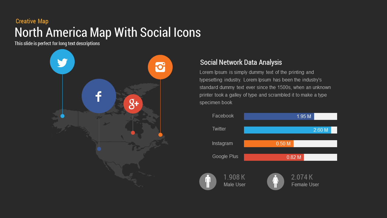
North America Map template for PowerPoint & Google Slides
World Maps
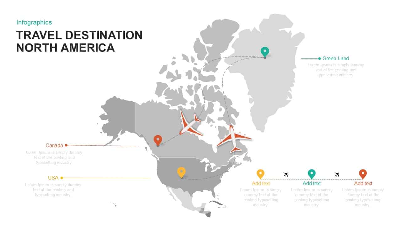
North America Travel Destinations Template for PowerPoint & Google Slides
World Maps
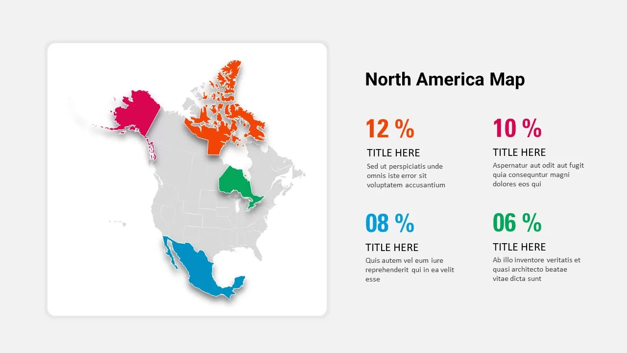
North America Percentage Map Infographic Template for PowerPoint & Google Slides
World Maps
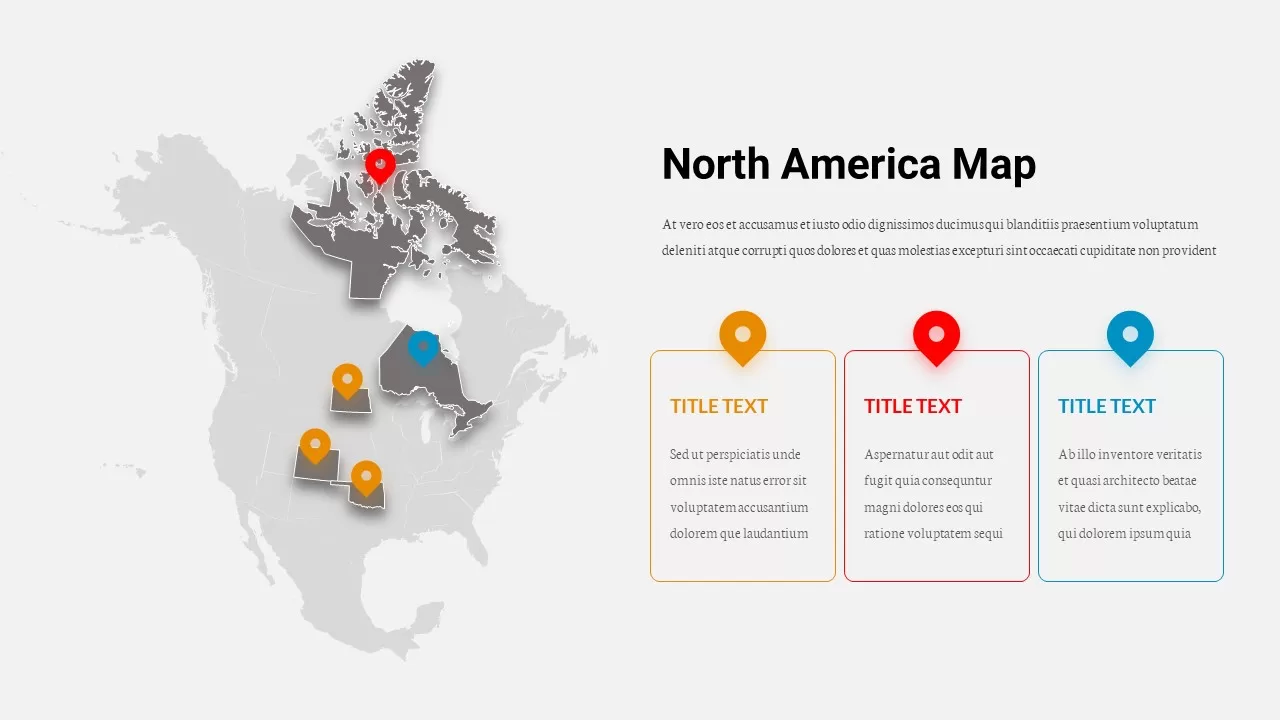
North America Location Pin Map Overview Template for PowerPoint & Google Slides
World Maps
North America Map Infographic Slide Template for PowerPoint & Google Slides
World Maps

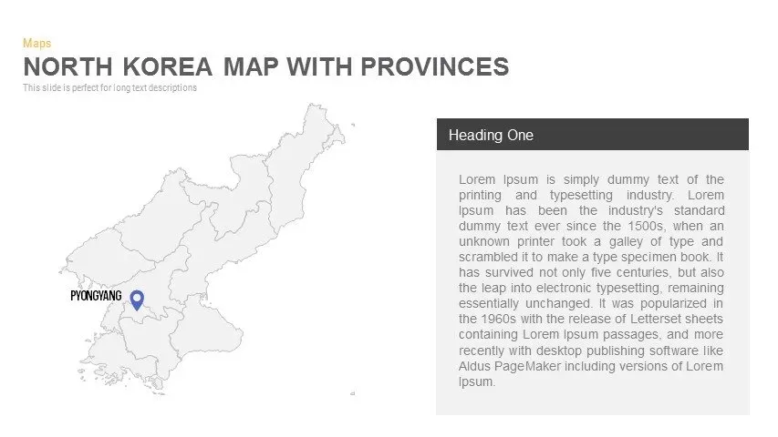
North Korea Map with Provinces Infographic Pack Template for PowerPoint & Google Slides
Maps
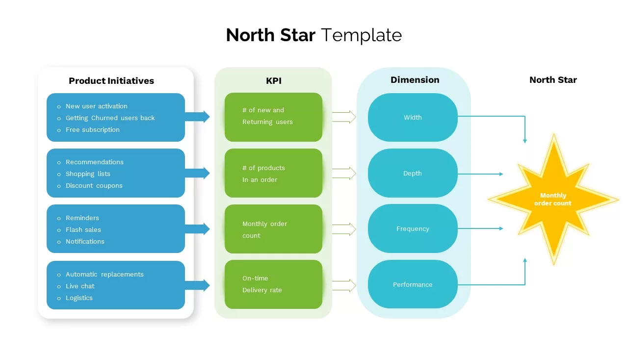
North Star template for PowerPoint & Google Slides
Business
North American Map
World Maps
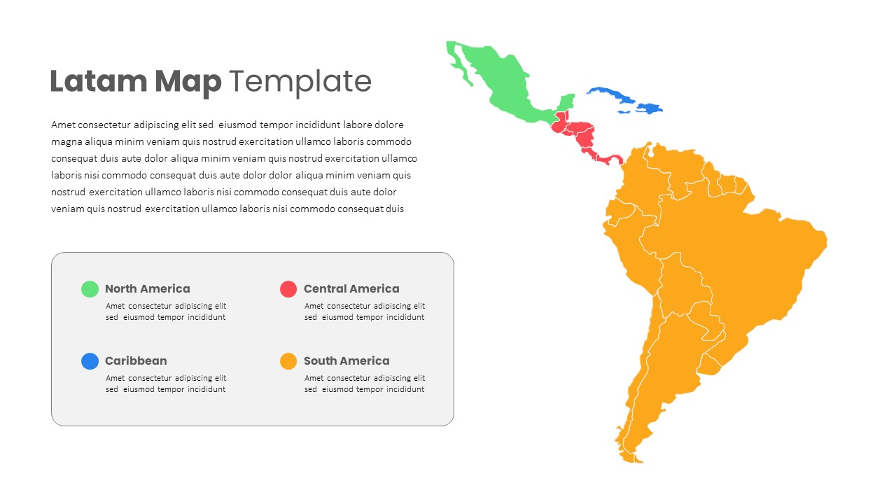
Latin America Regional Map Breakdown Template for PowerPoint & Google Slides
World Maps
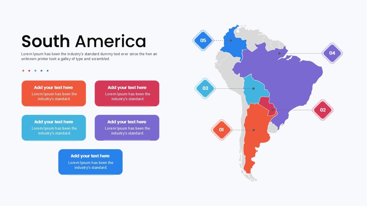
South America Map template for PowerPoint & Google Slides
Maps
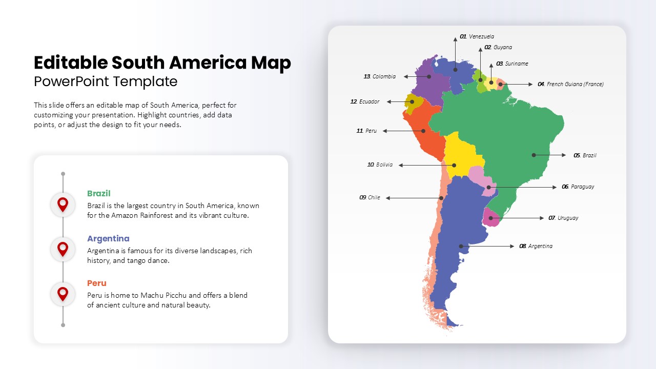
Editable South America Map Diagram Template for PowerPoint & Google Slides
Maps