Indonesia Map With Provinces Powerpoint and Keynote template 4
Description
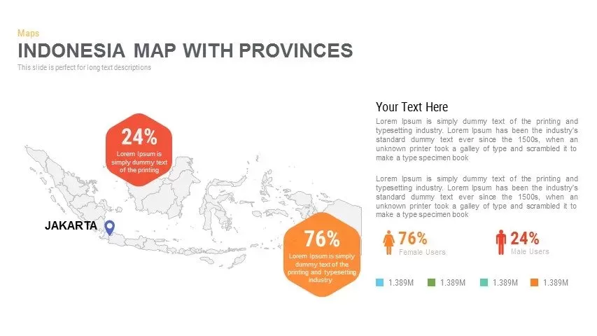
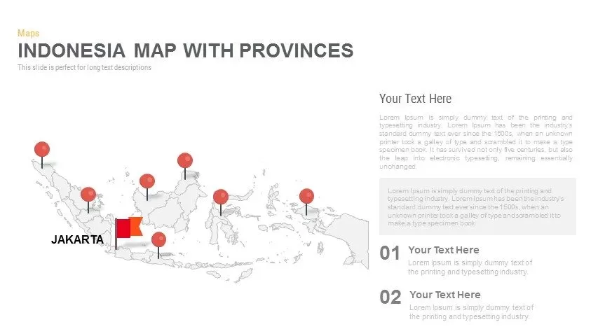
This Indonesia map slide features a clean, editable outline of the archipelago with multiple province markers and a highlighted Jakarta flag icon. Fully vector-based callouts and data widgets—hexagon percentage badges, bar charts, and text panels—let you visualize regional statistics, demographic splits (e.g. 76% vs. 24%), or quarterly performance by province. Swap pin colors, adjust callout shapes, update chart data, and edit narrative text in seconds via master slides. The minimalist white background and subtle gray map outline keep focus on your markers, while consistent iconography and modern sans-serif fonts maintain readability and professional polish.
Who is it for
Business analysts, sales teams, and regional managers will find this slide ideal for illustrating market penetration, provincial KPIs, or expansion plans across Indonesia’s key regions. NGOs and government agencies can also leverage it for demographic studies or resource allocation presentations.
Other Uses
Repurpose this template to showcase supply-chain nodes, customer density heatmaps, infrastructure projects, or tourism highlights. Simply replace icons, recolor pins, and customize chart types to fit any Indonesia-focused narrative.
Login to download this file


