IOWA PowerPoint Template
Description
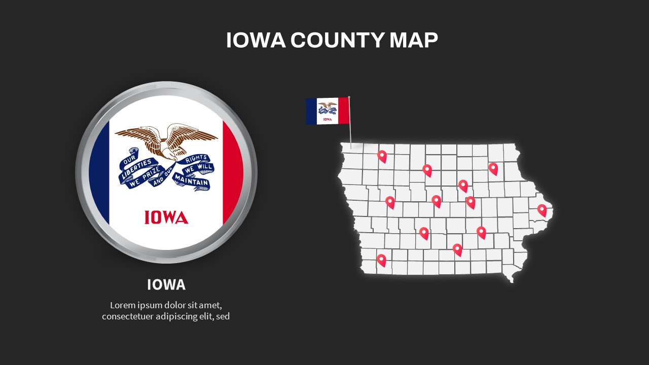
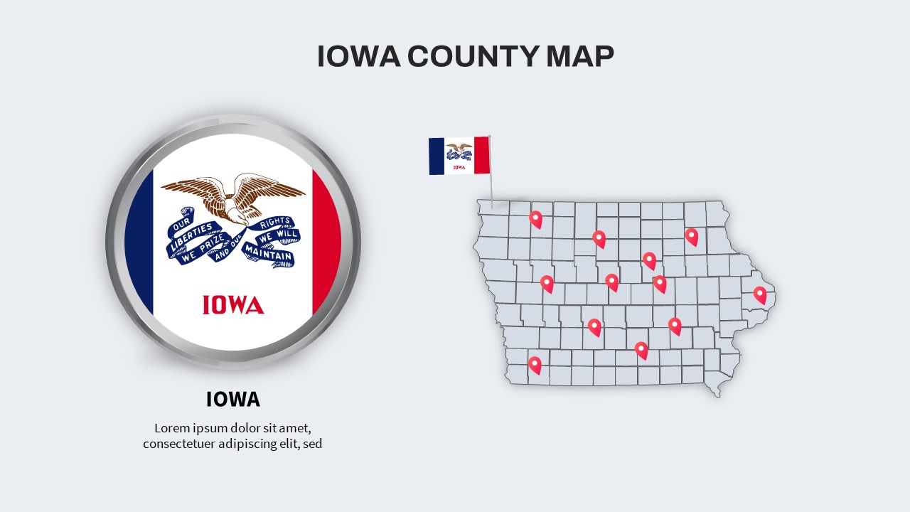
Highlight regional insights and location-based data with this Iowa County Map slide, expertly designed to deliver clear geographic context and pinpoint key areas of interest. The centerpiece is a high-resolution county map of Iowa, each county outlined in subtle gray lines on a light background and overlaid with vibrant red pin markers to identify sales territories, branch locations, demographic clusters, or project sites. On the left, a circular inset elegantly frames the Iowa state flag within a polished metallic ring, accompanied by a customizable caption area for the state name, tagline, or summary statistics. The harmonious balance of the inset and main map draws the audience’s focus while maintaining a clean, uncluttered aesthetic.
Edit pins by dragging vector objects to reflect your own regional data points, and adjust fill colors or pin styles to match your corporate branding. Easily change the background shade, border weight, or ring effect around the flag using master slide settings. The slide’s generous whitespace, minimalist typography, and consistent iconography ensure high readability and professional polish. Whether you’re presenting market expansion plans, service coverage analyses, electoral district overviews, or outreach campaign results, this map slide provides the flexibility to illustrate complex spatial information with confidence.
Optimized for both PowerPoint and Google Slides, this asset preserves its formatting integrity across platforms, enabling smooth handoffs between teams and devices. Leverage this slide for boardroom briefings, investor pitches, training sessions, or academic lectures to engage audiences through clear geographic storytelling.
Who is it for
Sales managers, regional planners, and market analysts will benefit from this slide when mapping territories, service areas, or customer concentrations. Consultants, government agencies, and nonprofit organizations can leverage it to present demographic data, funding allocations, or strategic outreach plans.
Other Uses
Beyond territory mapping, repurpose this layout for political campaign briefings, public health outreach maps, logistical route planning, or academic research presentations. Customize pin styles and annotations to highlight office locations, resource centers, event venues, or survey sampling sites.
Login to download this file


