European Union EU Map PowerPoint Template featured image
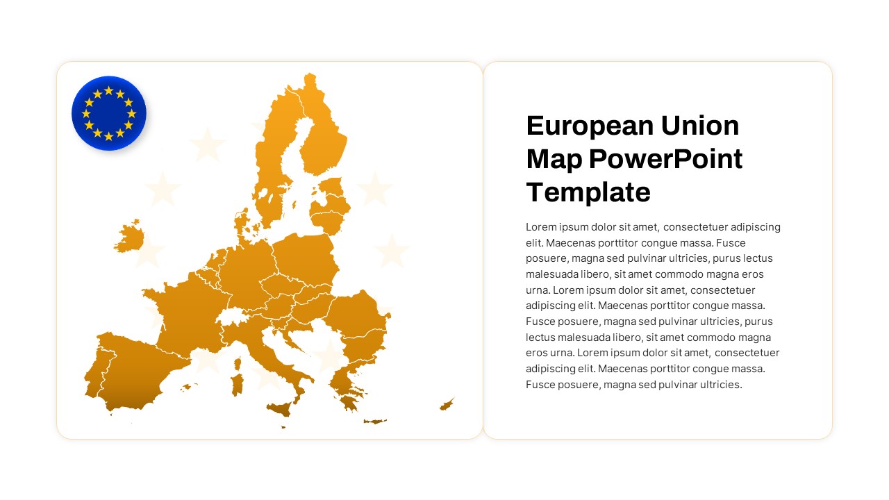
Center your next presentation around regional insights with this editable European Union map infographic slide, designed for PowerPoint & Google Slides. The high-resolution vector map displays all EU member states in a warm gold gradient on a clean white background, with crisp white outlines accentuating political boundaries. An EU flag icon in the top corner reinforces context, while four customizable callouts flank the map, each paired with a subtle watermark icon for region names, performance metrics, or demographic data.
Built on master slides, this template lets you recolor individual countries to match your brand palette or data categories in seconds. Swap default icons, adjust transparency, and resize text boxes without disrupting the grid alignment. The bold sans-serif title and placeholder text ensure clear hierarchy and legibility, even on projector screens and printed handouts. Vector shapes maintain full clarity at any zoom level, so you can highlight EU-wide statistics, country-level KPIs, or regional comparisons with equal impact.
Leverage the callout placeholders to annotate market share by country, revenue distribution across regions, or infrastructure project locations. Export to PDF for offline review, share editable PPTX files with remote teams, or collaborate in Google Slides for real-time updates. This slide streamlines geographic storytelling, making complex data instantly accessible to stakeholders.
Who is it for
Business analysts, marketing teams, consultants, government planners, and educators will benefit from this map slide when presenting regional data, EU market analyses, or location-based strategies.
Other Uses
Repurpose this infographic for sales territory planning, demographic research, tourism reporting, network infrastructure mapping, investment presentations, academic lectures, or strategic workshops. Hide or duplicate callouts to focus on specific countries or thematic groupings.
Login to download this file


