


Tajikistan Map Powerpoint and Keynote template 1
Description
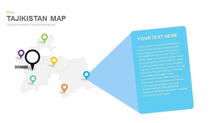
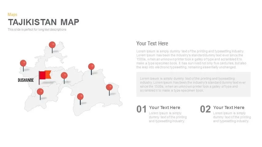
Leverage this versatile six-slide Tajikistan provinces map infographic pack to visualize district-level insights, resource allocations, and strategic zones with clarity and impact. Each slide features a clean, editable outline of Tajikistan’s provinces across five distinct layouts—from dual-percentage callouts and extended narrative panels to multi-pin marker overlays, integrated bar charts, and magnified spotlight callouts. Vibrant, customizable markers, flags, and polygon callouts in red, orange, green, blue, purple, and black provide instant visual differentiation, while intuitive text placeholders maintain balanced spacing and an uncluttered design. Vector-based elements and subtle drop shadows ensure modern, professional aesthetics and resolution-independent scaling for flawless display across devices.
Engineered for seamless customization, this infographic pack leverages built-in master slides, editable vector shapes, and intuitive grouping features to streamline your workflow. Swap marker icons, adjust color fills, or modify typography in seconds—all while preserving perfect alignment and hierarchy. Transparent backgrounds and resolution-independent assets guarantee crisp visuals on any theme or screen size. Advanced editing controls such as drag-and-drop layering, shape locking, and slide zoom empower precise adjustments without disrupting slide integrity. Optimized for both PowerPoint and Google Slides, these templates eliminate cross-platform formatting issues and support collaborative editing, accelerating presentation development for regional planners, consultants, or educational workshops.
With six distinct map-based layouts included, you can mix and match designs for stakeholder briefings, market segmentation analyses, or academic research. Whether highlighting key performance indicators, tracking resource distribution, or comparing provincial demographics, these templates provide the flexibility and professional polish needed to engage audiences and drive data-driven decisions across government, nonprofit, and corporate sectors.
Who is it for
Regional planners, market researchers, and development consultants will find this pack ideal for presenting province-level analyses, demographic trends, or resource allocations. NGOs, government agencies, and educational institutions can also leverage its diverse layouts to communicate project narratives, event locations, or policy insights across Tajikistan.
Other Uses
Beyond geospatial reporting, repurpose these slides for sales territory mapping, risk-assessment matrices, conference agendas, or project status updates. Combine callout styles and charts to highlight KPIs, stakeholder feedback, or milestone achievements in any context.
Login to download this file

Item ID
SB00691