


Philippines Map Powerpoint and Keynote template
Description
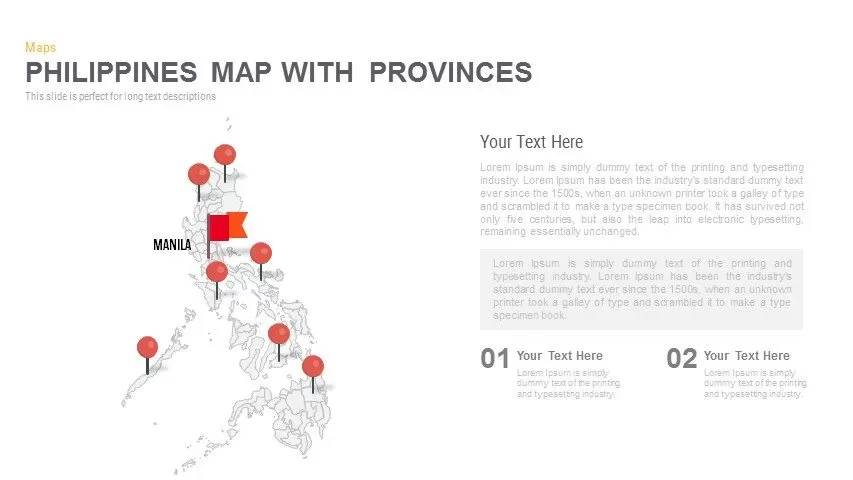
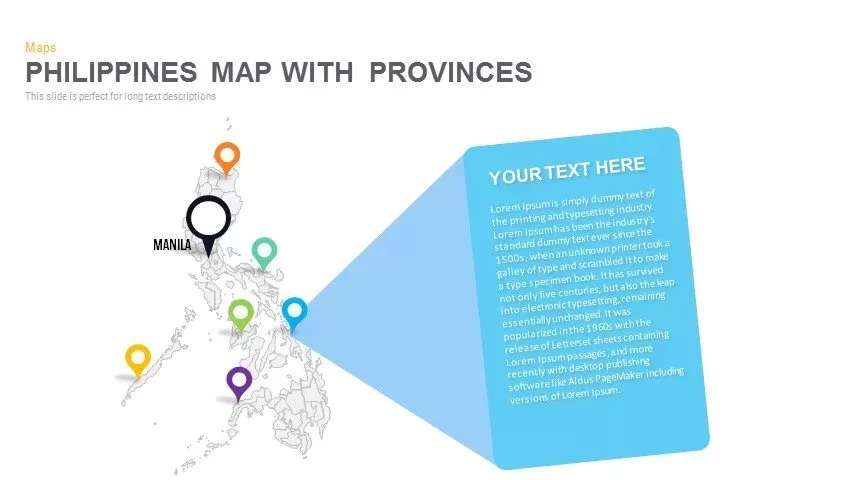
Leverage this versatile six-slide Philippines map infographic pack to visualize provincial data, demographic insights, and strategic zones with clarity and impact. Each slide offers a unique layout—from detailed narrative panels and dual-percentage callouts to multi-pin marker maps, integrated bar charts, and spotlight callouts—built around a crisp, editable outline of the Philippines’ provinces. Vibrant, fully customizable markers and callout shapes in orange, green, blue, purple, yellow, and black ensure instant visual differentiation, while intuitive placeholders maintain balanced spacing and an uncluttered composition. Subtle drop shadows and clean lines deliver a modern, professional aesthetic that aligns seamlessly with any corporate or creative brand palette.
Engineered for effortless customization, this pack leverages fully editable vector shapes, master layouts, and intuitive grouping features to streamline editing workflows. Swap marker icons, adjust color fills, or modify typography in seconds while preserving perfect alignment and hierarchy. Transparent icon backgrounds and resolution-independent assets guarantee crisp visuals across light or dark themes and any screen size. Built-in slide masters and drag-and-drop layering also eliminate cross-platform formatting issues, enabling rapid duplication and collaborative editing across PowerPoint and Google Slides.
Whether you’re mapping market segments, outlining sales territories, or coordinating event locations across provinces, this infographic pack empowers you to communicate complex geospatial insights clearly and memorably. Pre-defined color schemes allow you to maintain brand consistency or experiment with thematic palettes instantly. Leverage grouping and ungrouping to reconfigure map layouts or callouts on the fly, and freeze layers to highlight key regions during live presentations.
With six distinct map-based layouts included, you can mix and match designs for comprehensive reporting, stakeholder briefings, or educational materials. Whether presenting demographic trends, resource allocations, or risk-assessment matrices, this pack delivers the flexibility and professional polish you need to engage audiences and drive data-driven decisions.
Who is it for
Market researchers, regional planners, and development consultants will find this pack ideal for presenting province-level analyses, user distributions, or demographic trends. NGOs, government agencies, and educators can also leverage its diverse layouts to communicate project narratives, resource allocations, or event locations across the Philippines.
Other Uses
Beyond geospatial reporting, repurpose these layouts for sales territory mapping, risk-assessment matrices, conference agendas, or project status updates. Mix and match callout styles to highlight key metrics, stakeholder feedback, or milestone achievements across any region or context.
Login to download this file
Add to favorites
Add to collection

Item ID
SB00687