


Pakistan Map Powerpoint and Keynote template 3
Description
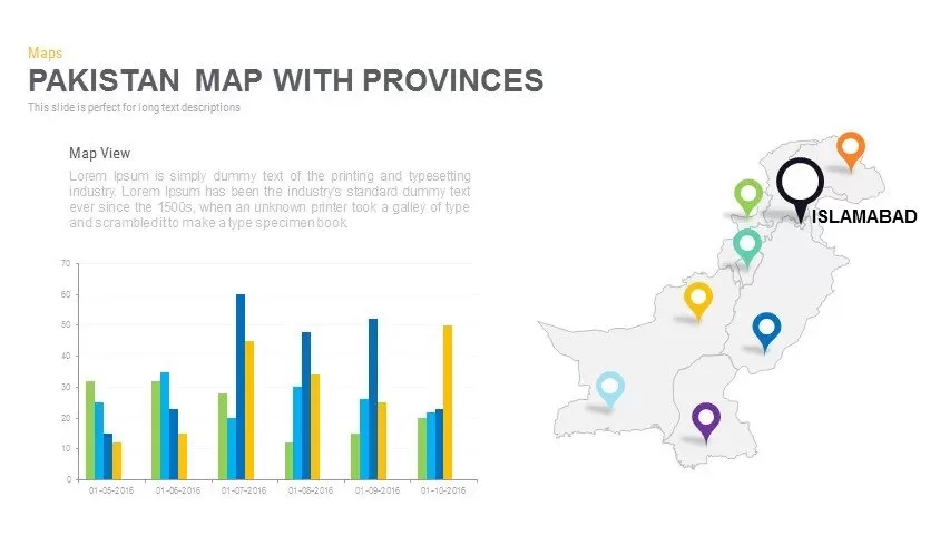
Leverage this versatile six-slide Pakistan provinces map infographic pack to visualize regional insights, demographic distributions, and strategic zones with clarity and impact. Each slide delivers a distinct layout—from extended narrative panels and dual-percentage callouts to multi-pin marker maps, integrated bar charts, and magnified spotlight callouts—built around a crisp, editable outline of Pakistan’s administrative provinces. Vibrant, fully customizable markers and callout shapes in orange, green, blue, purple, yellow, and black ensure instant visual differentiation, while intuitive placeholders maintain balanced spacing and uncluttered presentation. All elements are vector-based for resolution-independent scaling, and built-in master slides accelerate color swaps, icon replacements, and typography adjustments in seconds. Subtle drop shadows, consistent padding, and clean lines deliver a modern, professional aesthetic that aligns seamlessly with any corporate or creative brand palette. Engineered for effortless customization, this pack leverages master layouts and intuitive grouping features to preserve alignment and hierarchy across duplicates, minimize formatting errors, and streamline collaborative workflows. Drag-and-drop layering and lock functions enable advanced editing control, while transparent icon backgrounds ensure seamless integration with custom themes or imagery. Custom color schemes align each province to brand guidelines or thematic palettes, making it easy to reinforce corporate identity or highlight priority regions. Pre-defined layouts simplify the process of combining map views with statistical charts or textual narratives for comprehensive reporting.
Who is it for
Market researchers, regional planners, and development consultants will find this pack ideal for presenting province-level analyses, user distributions, or demographic trends. NGOs, government agencies, and educators can also leverage its diverse layouts to communicate project narratives, resource allocations, or event locations across Pakistan.
Other Uses
Beyond geospatial reporting, repurpose these layouts for sales territory mapping, risk-assessment matrices, conference agendas, or project status updates. Mix and match callout styles to highlight key metrics, stakeholder feedback, or milestone achievements across any region or context.
Login to download this file

Item ID
SB00686