


USA Map With States Powerpoint and Keynote template2
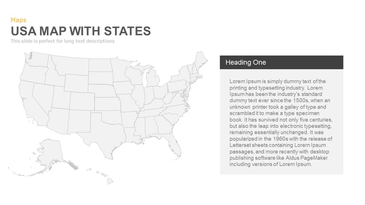

Leverage this comprehensive USA map slide deck to visualize state-level data and drive geographic insights with precision and style. Featuring a clean vector map of the United States with fully editable state boundaries and multiple marker styles, this template offers five distinct slide layouts: basic map with customizable location pins, zoom-in callout panel for detailed annotations, integrated bar-chart analytics alongside the map, bold percentage callouts for demographic highlights, and a titled text panel layout for long-form descriptions. Each layout supports color-coded markers, master slide placeholders for icons and text, and subtle shadow effects that enhance depth without compromising readability.
Engineered for ease of use, all slides are built on PowerPoint and Google Slides masters, allowing quick adjustments of marker positions, colors, and text formatting. Swap icons to reflect your data points, fine-tune callout panel shapes, or update chart values and legends in seconds. The vector objects ensure crisp visuals at any scale, while dual-theme compatibility lets you switch between light and dark backgrounds to suit your branding. Whether you’re presenting in a boardroom, webinar, or on mobile devices, this responsive map deck maintains consistent styling and precise layouts.
Who is it for
Marketing teams, regional managers, consultants, educators, and data analysts will find this map deck ideal for state-level sales reports, regional performance reviews, and geographic trend analyses.
Other Uses
Beyond state-level reporting, repurpose this slide set for customer segmentation studies, supply chain mapping, public policy analysis, or educational geography lessons. Duplicate and compare periods, adjust markers to track distribution hubs, or overlay additional charts to enrich your narrative.
Login to download this file

Item ID
SB00469